Course Details
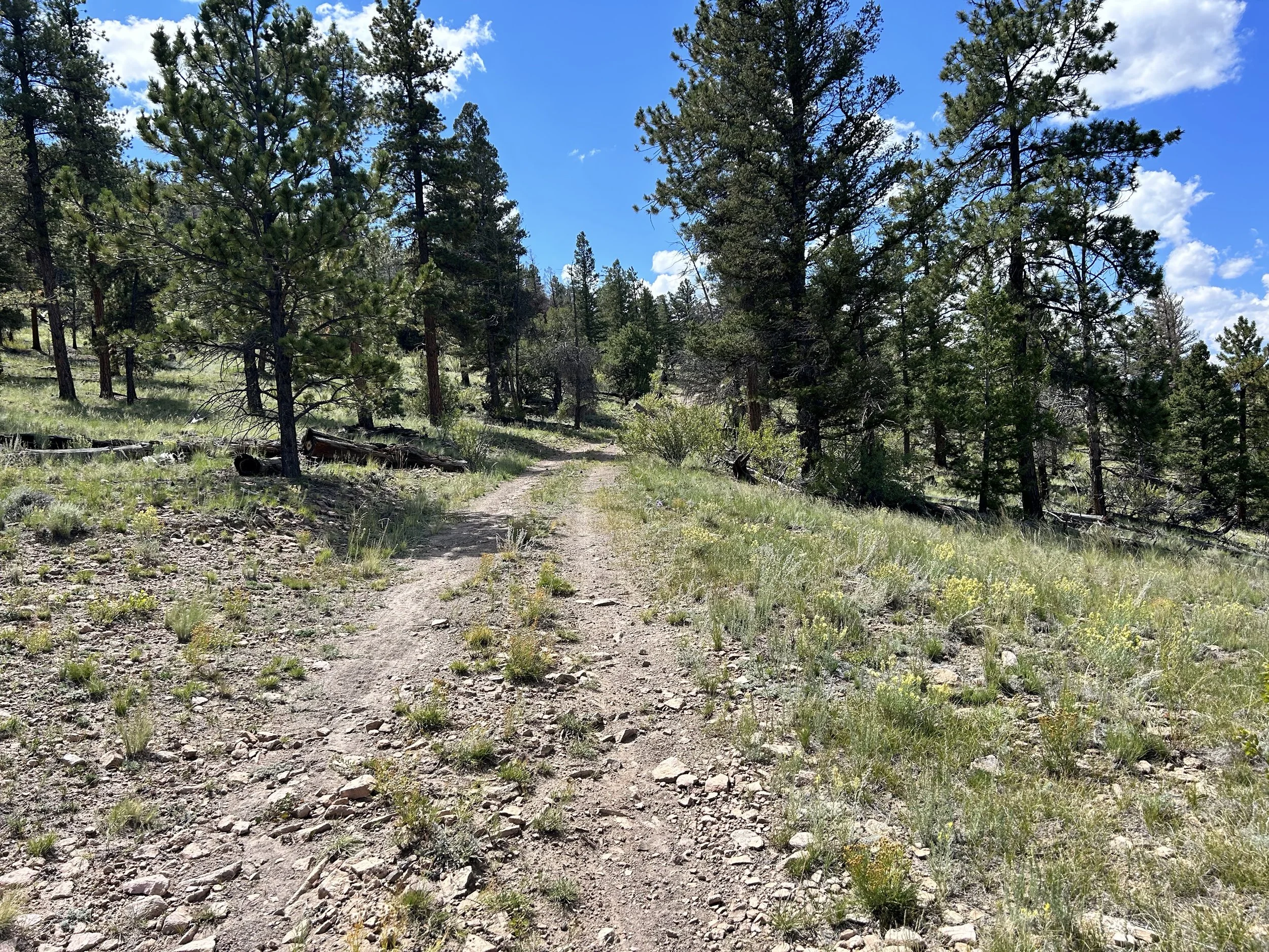
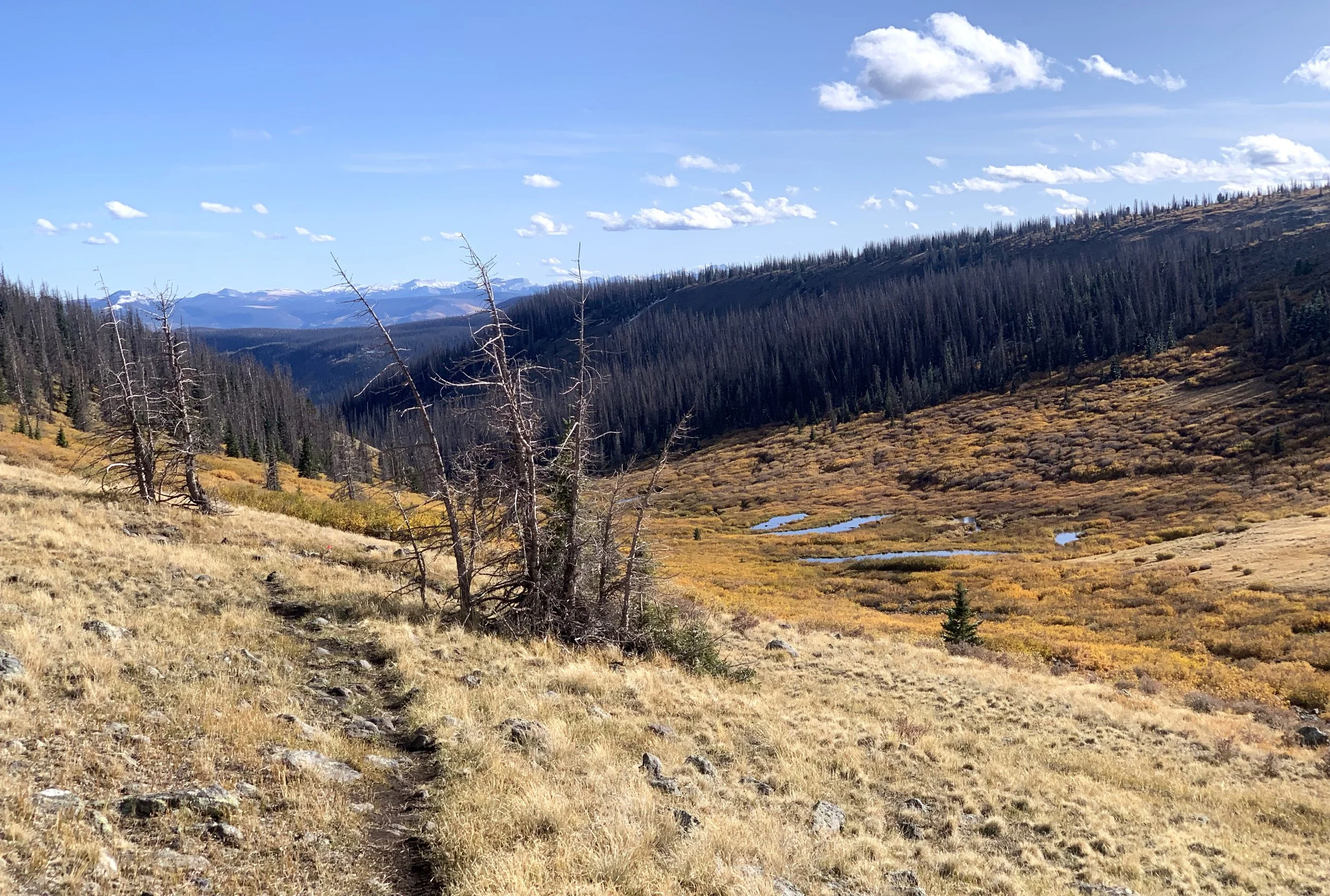
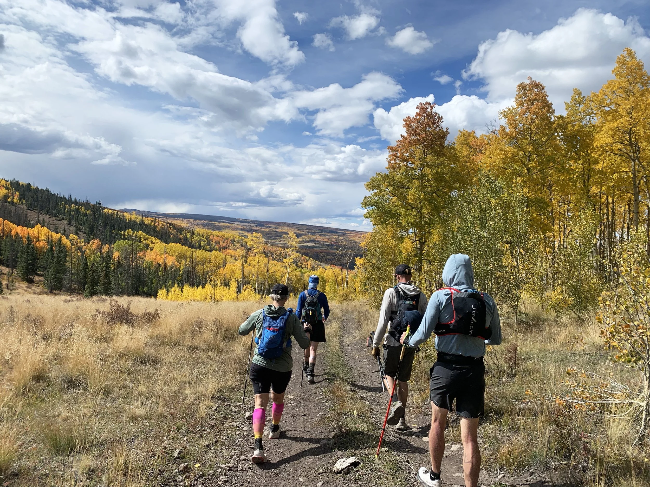
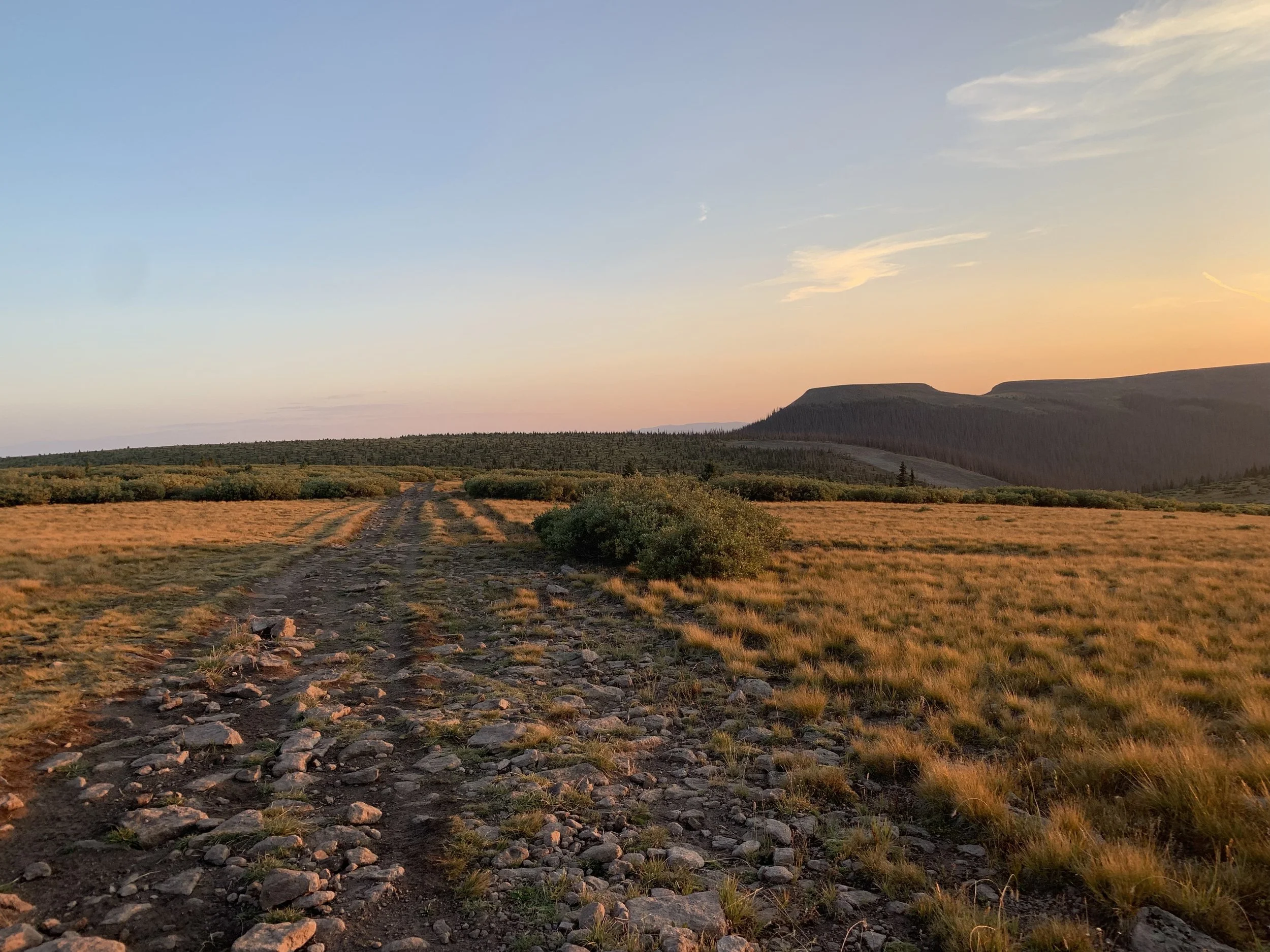
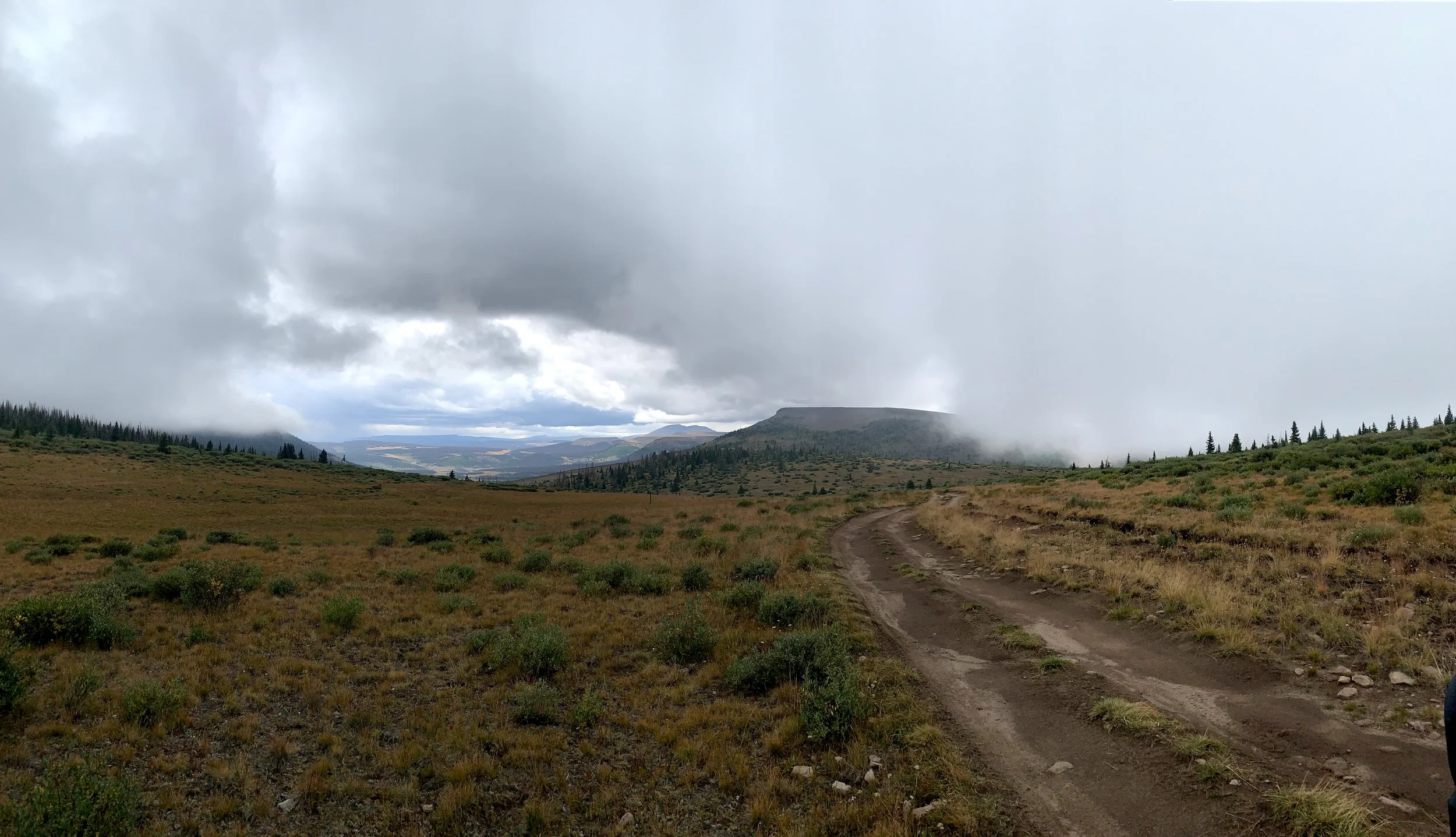
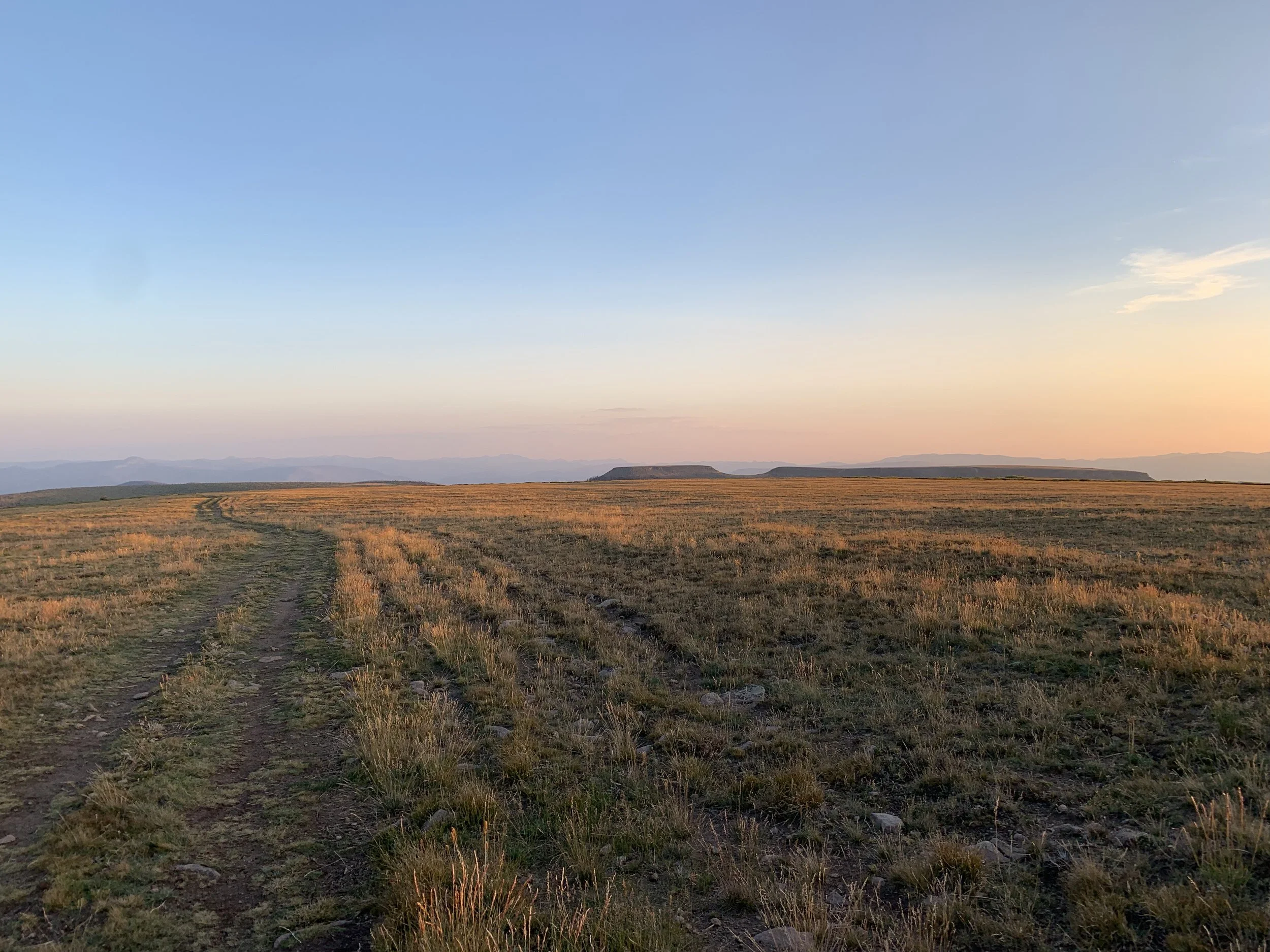
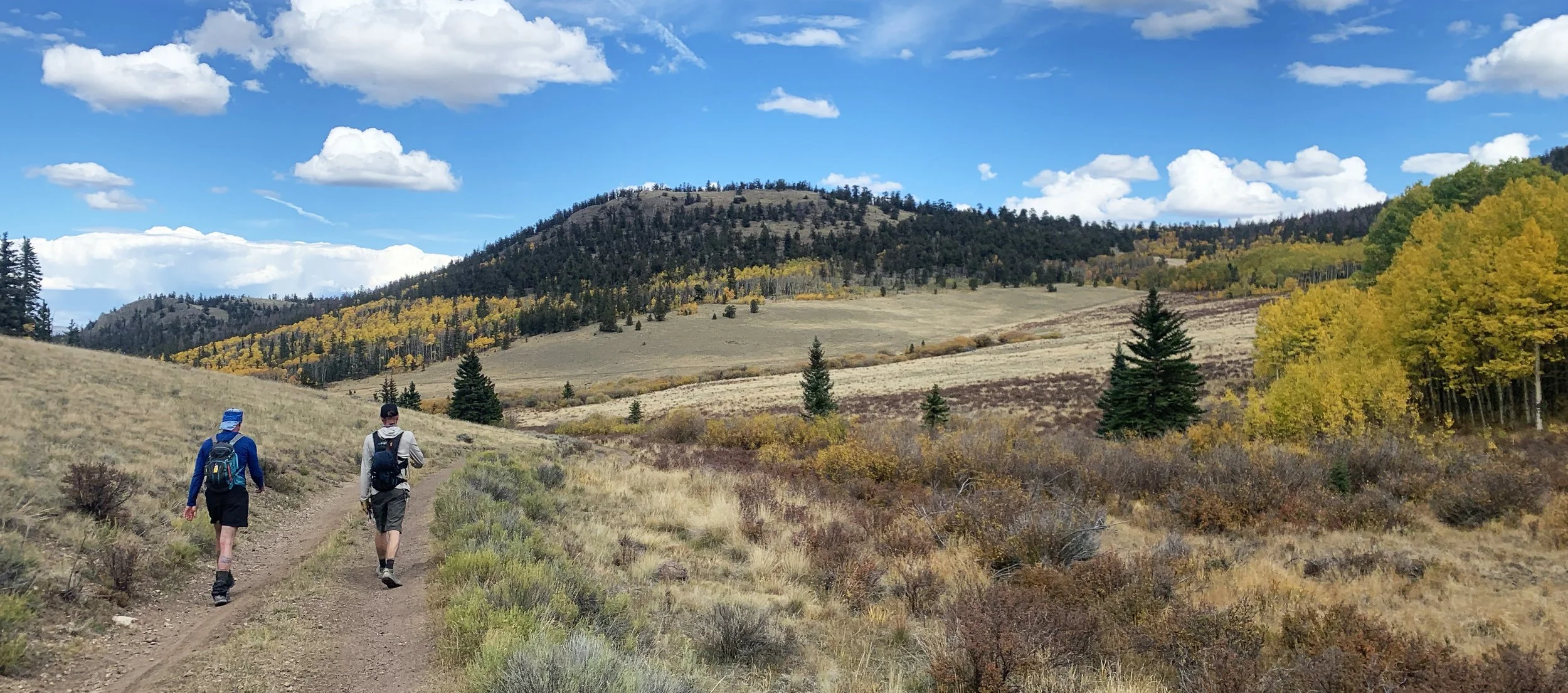
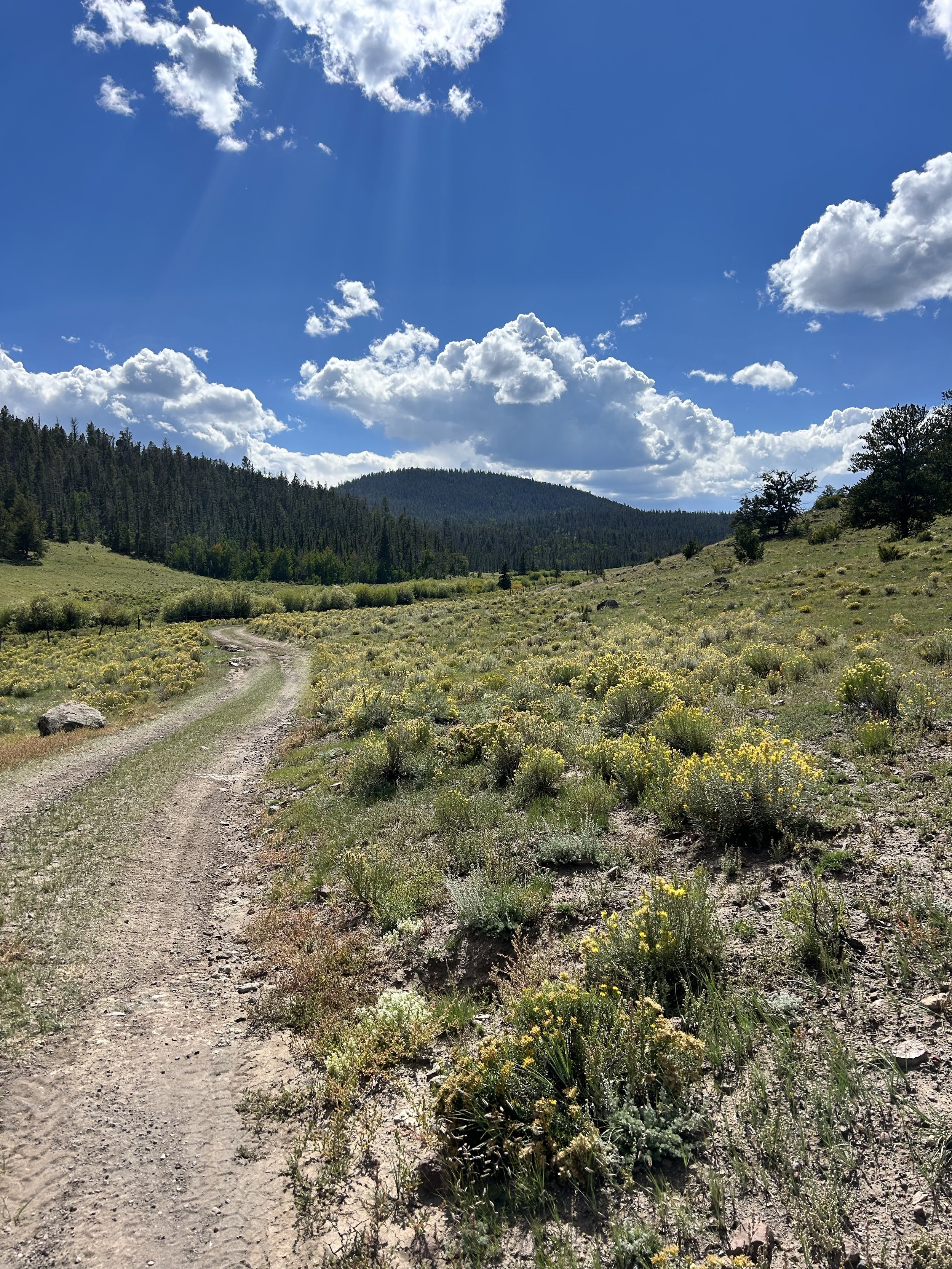
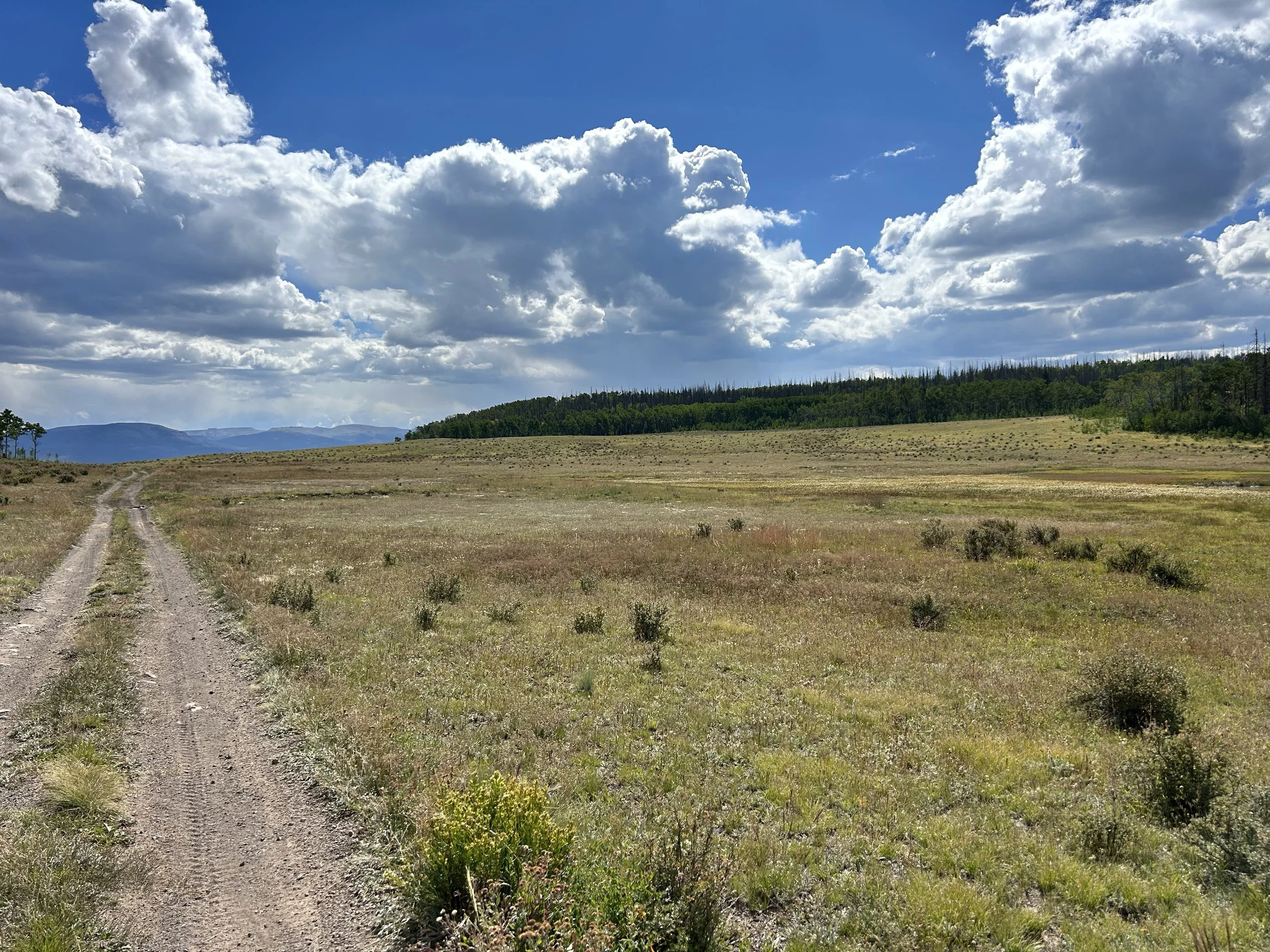
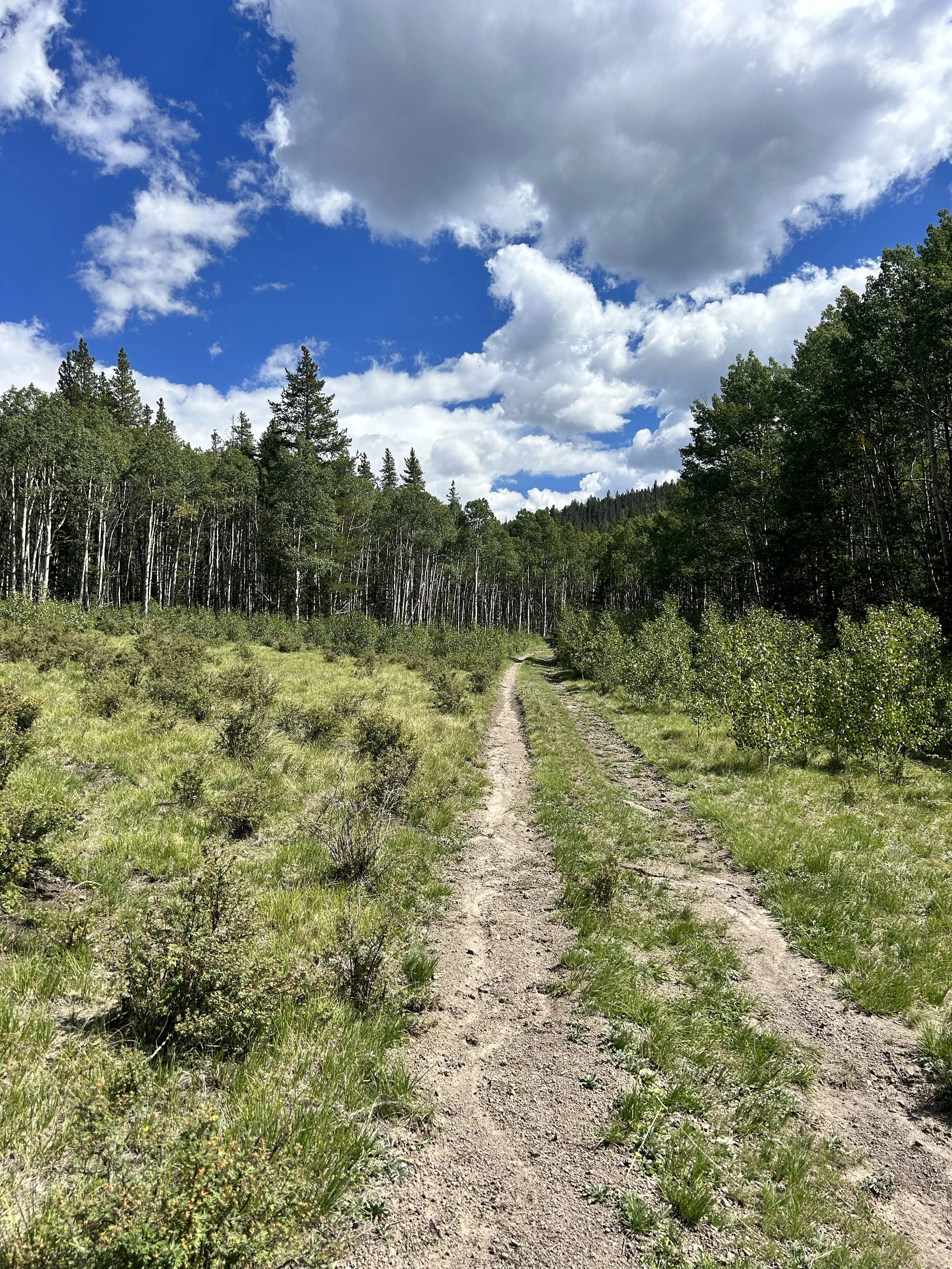
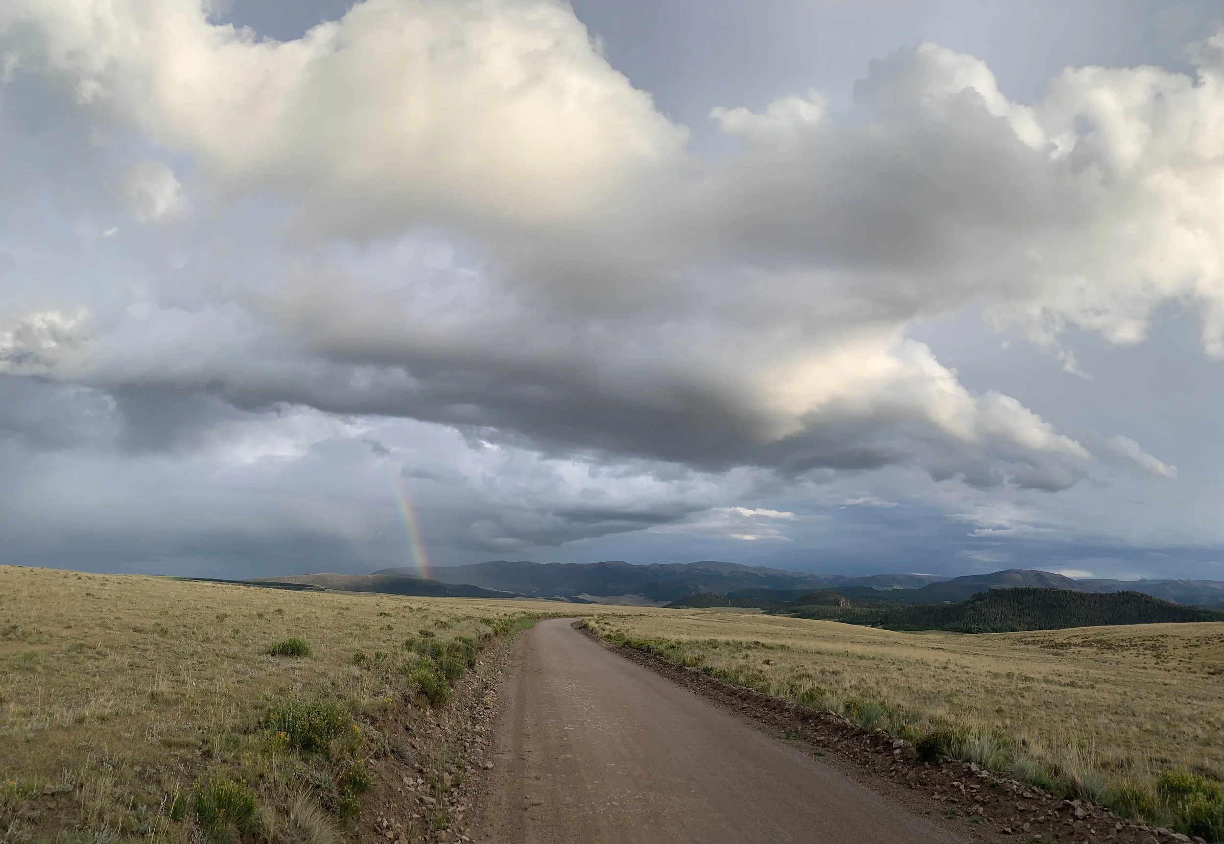
Ok, so here’s the deal. We are old school and still hold on to the belief that trail running should be simple; some shoes and proper clothing, water and food and a basic understanding of where you are going. We hold on to the idea that trail runners should be fairly self sufficient. We will warn you now, mileage is based on “ishes”, “arounds”, “approximately” - in other words IT IS NOT EXACT. If you are one of those people that live and die by the distance displayed on your watch, then this race may stretch your comfort zone. We take pride in having a well marked course and will do everything we can to mark the course and intersections clearly, but understanding and knowing the course ahead of time is a must. Having the GPX file on your phone and knowing how to use it is a MUST! You never know when our friendly elk will play tricks on you by removing ribbons and flags! As long as you see markers, just keep running until you see the aid station. Enjoy the experience and freeness of ultra trail running.
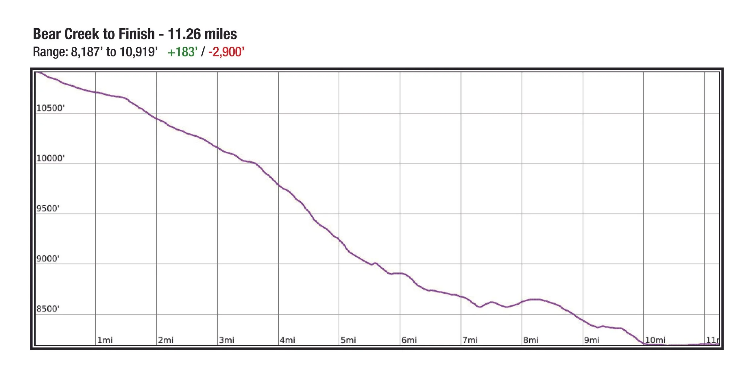
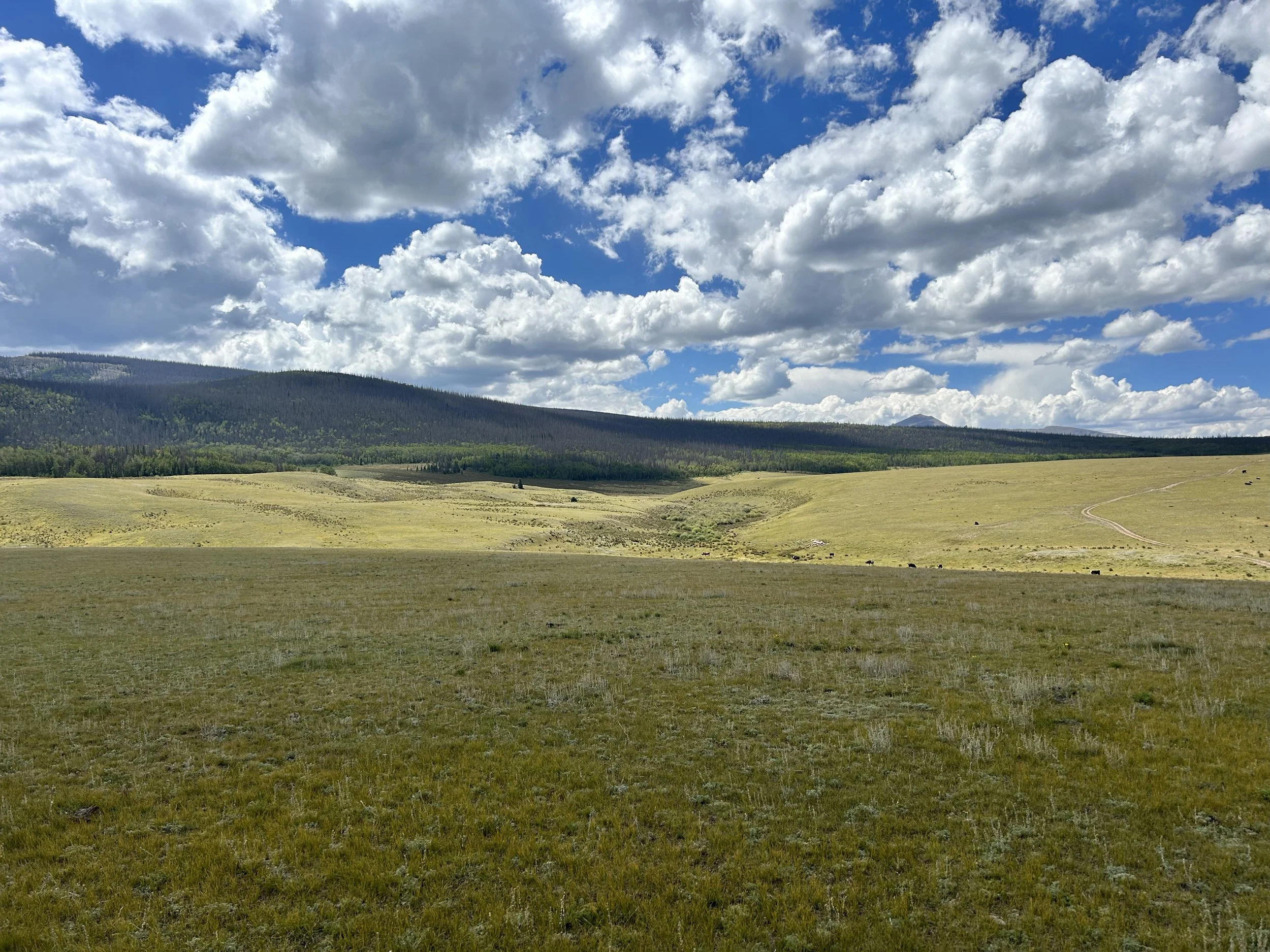
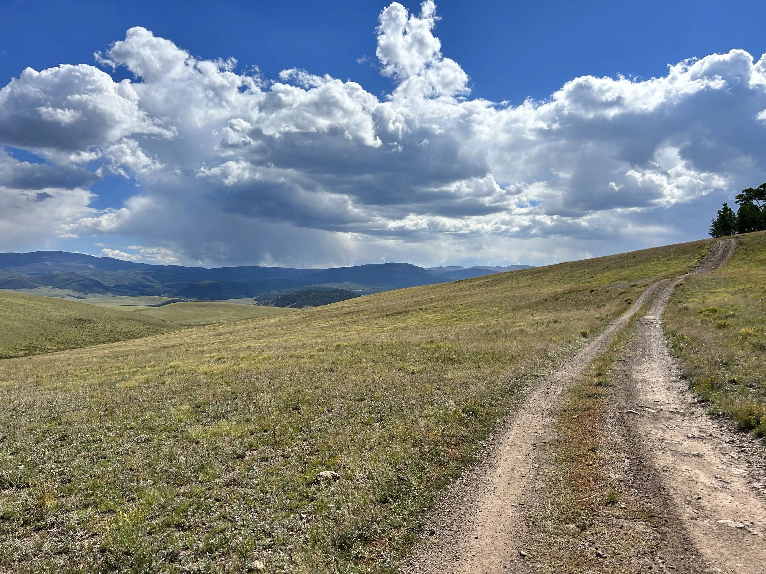
Distance: ~201.45 miles
High Point: 12,958 ft
Low Point: 8,185 ft
Average Elevation: 10,291 ft
Total Elevation gain: ~31,348
Cut Off: 108 hours
Runner’s Manual
In progress - please check back!
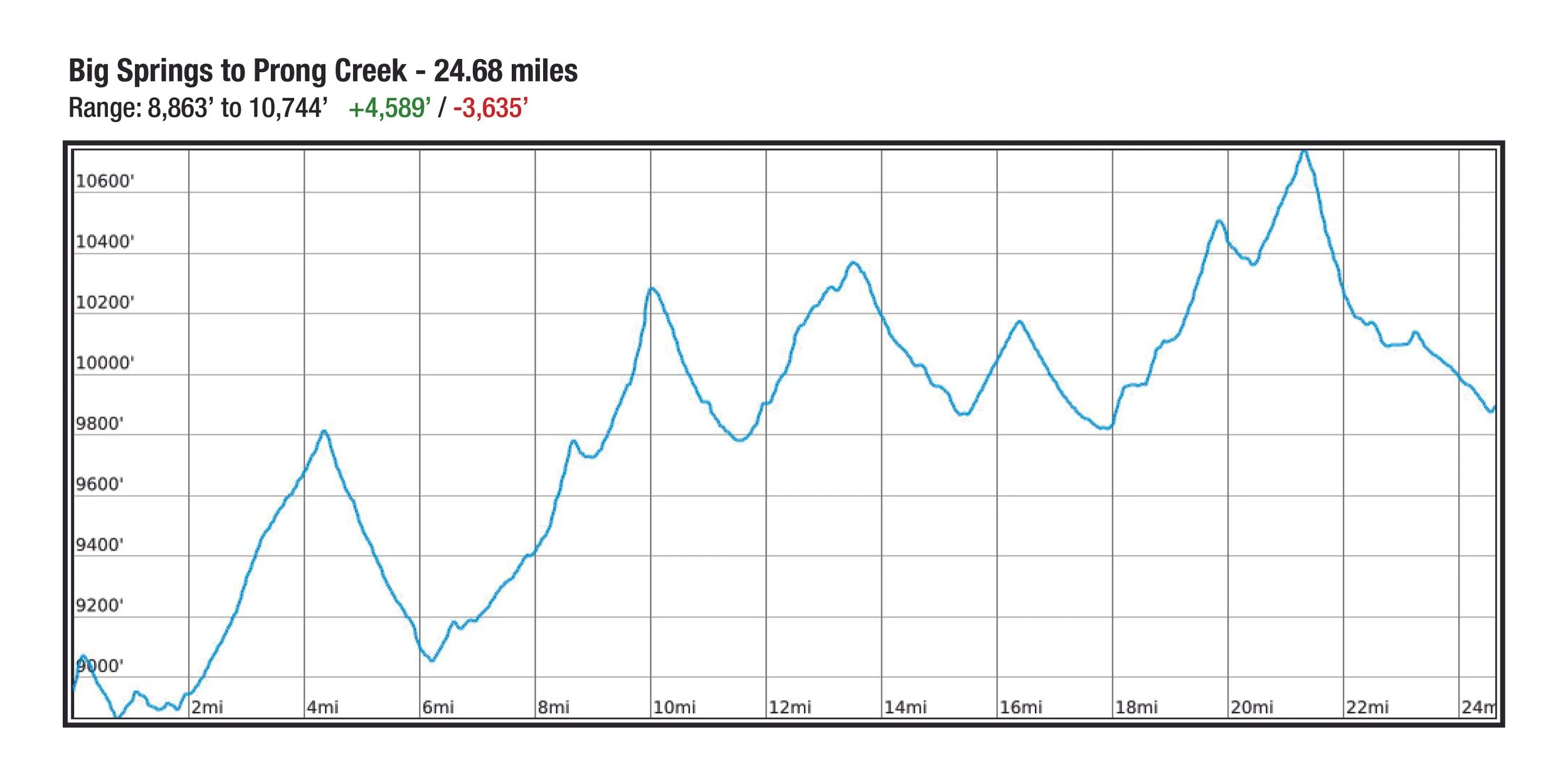
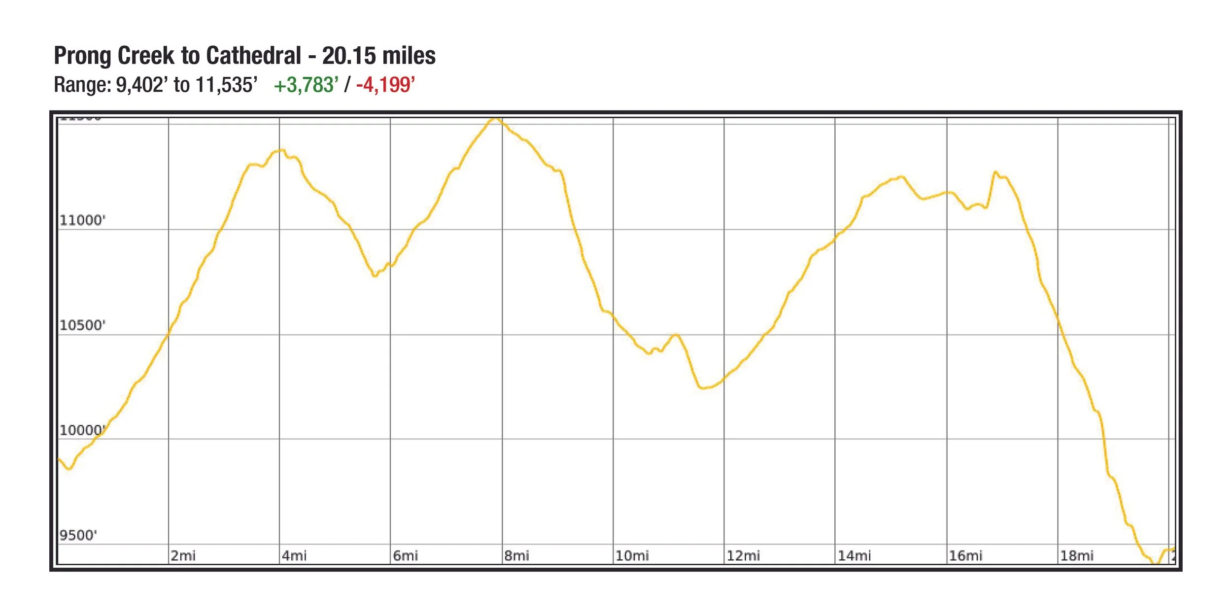
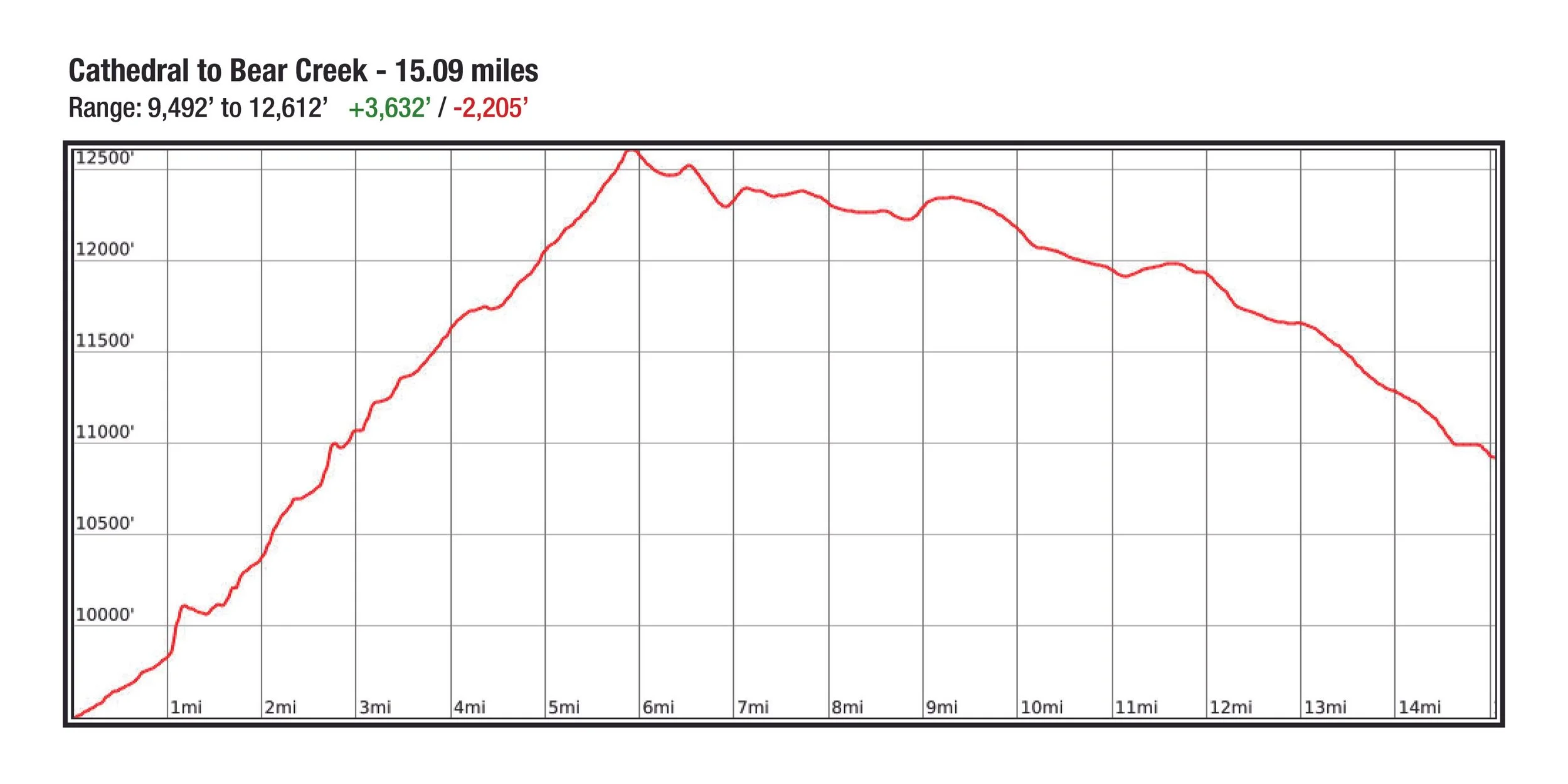
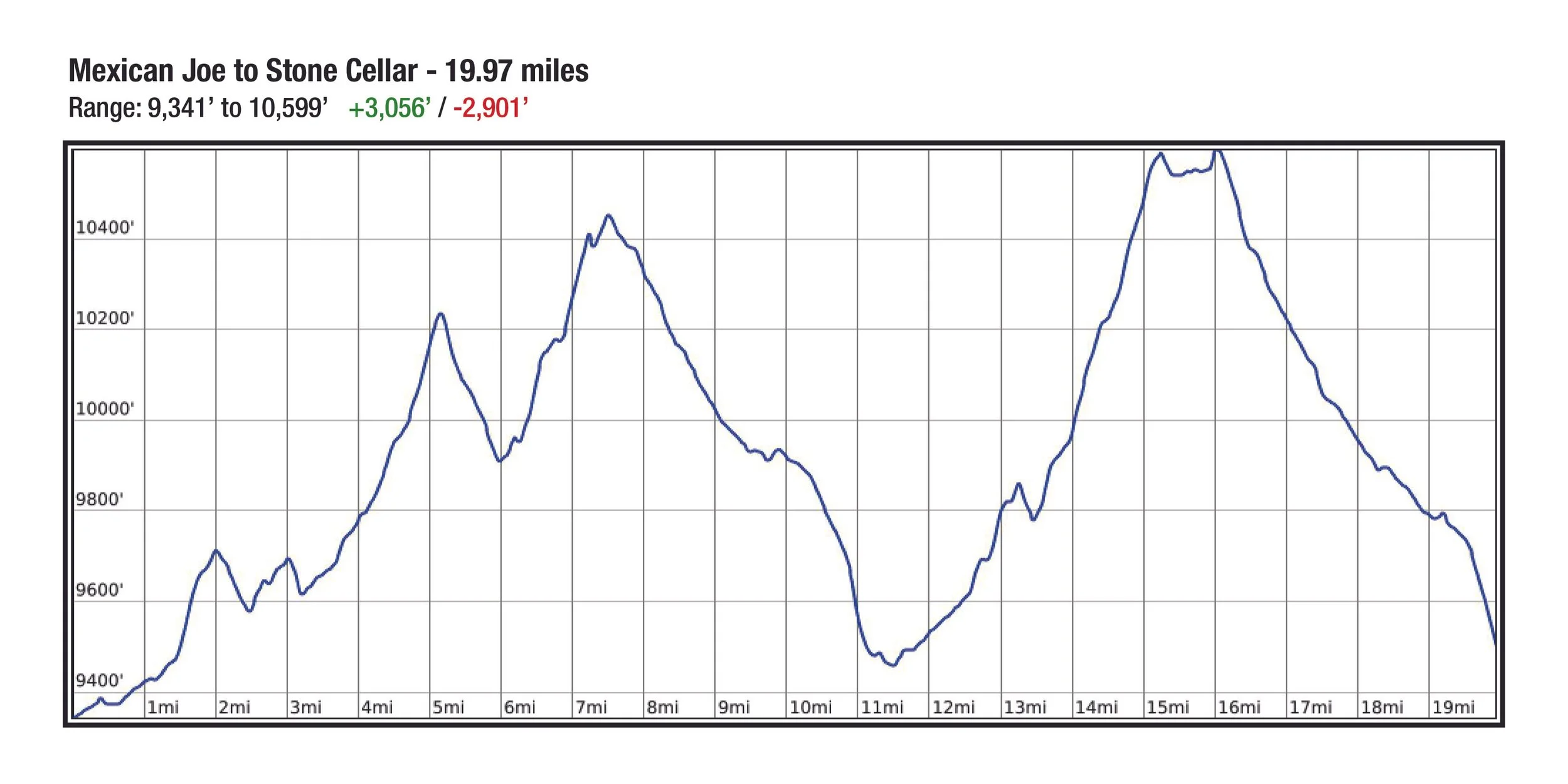
Profile
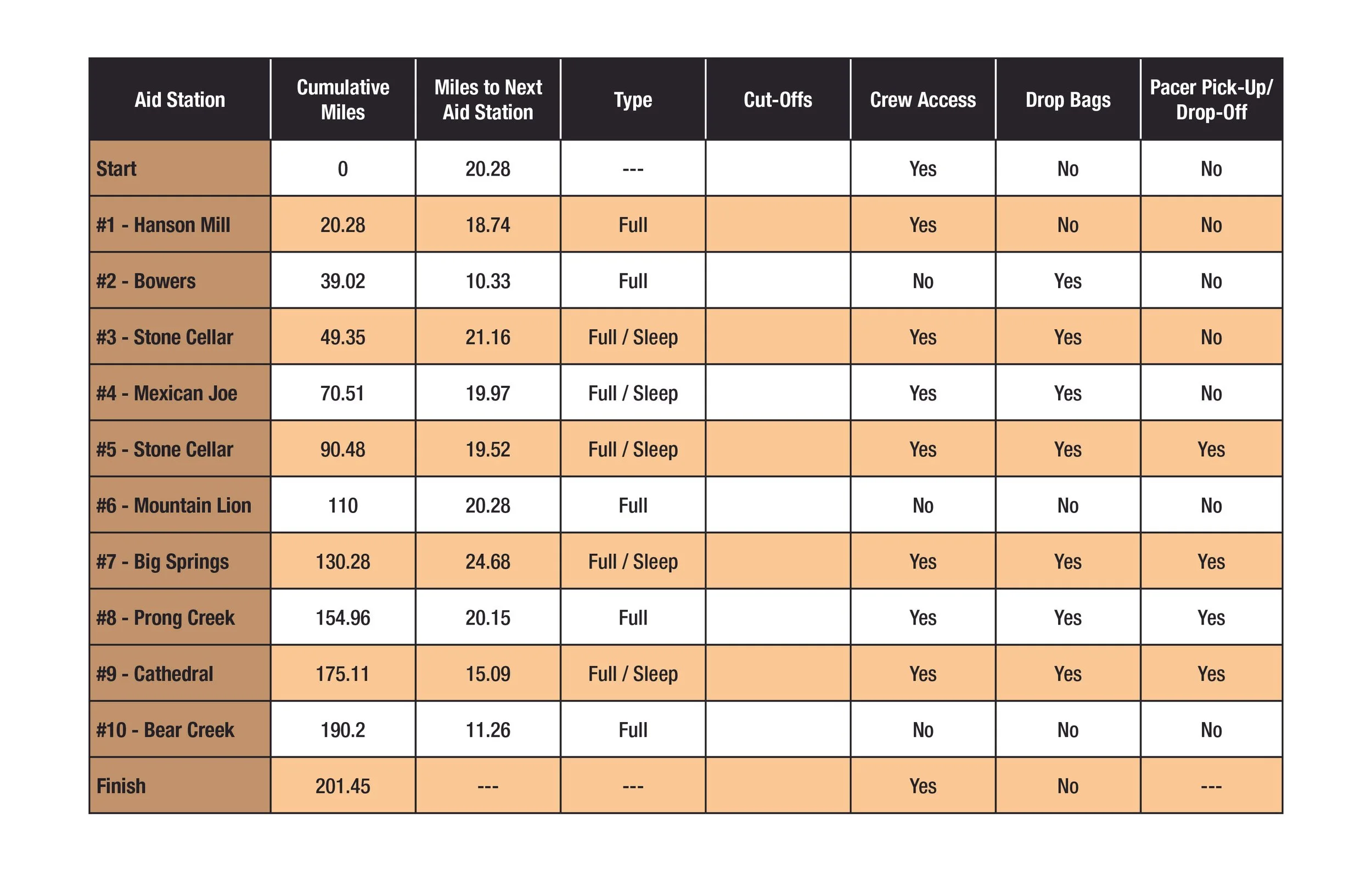
aid stations
Course Map
Download gpx map
You are required to have the GPX file downloaded onto your phone and have it with you at all times. It is your responsibility to have it downloaded and know how to use it before you start the race. The course will be marked several days before the race, but unfortunately we all know that elk, cows, deer and unfortunately even humans can tamper with markings.
Segment Details
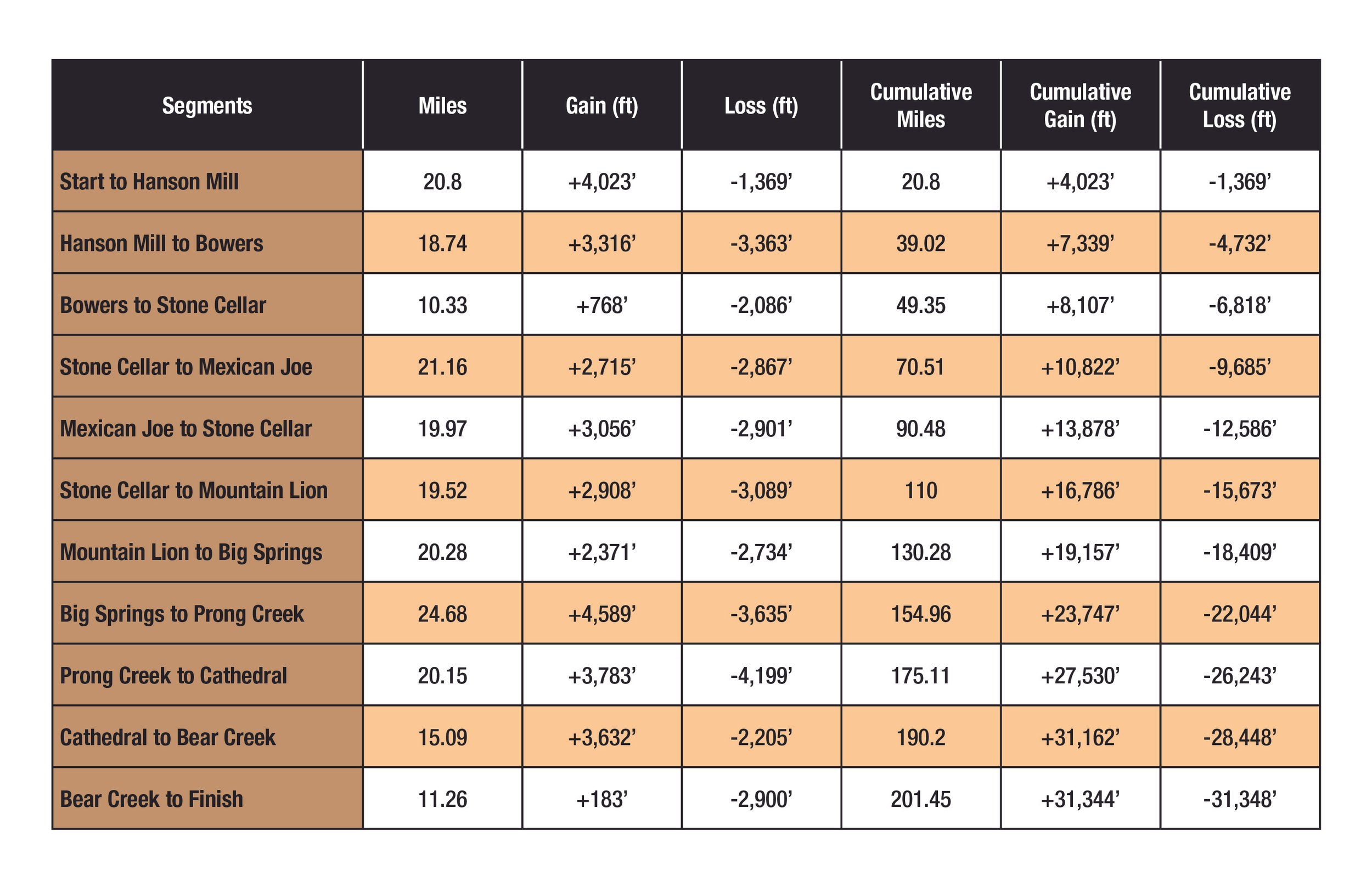
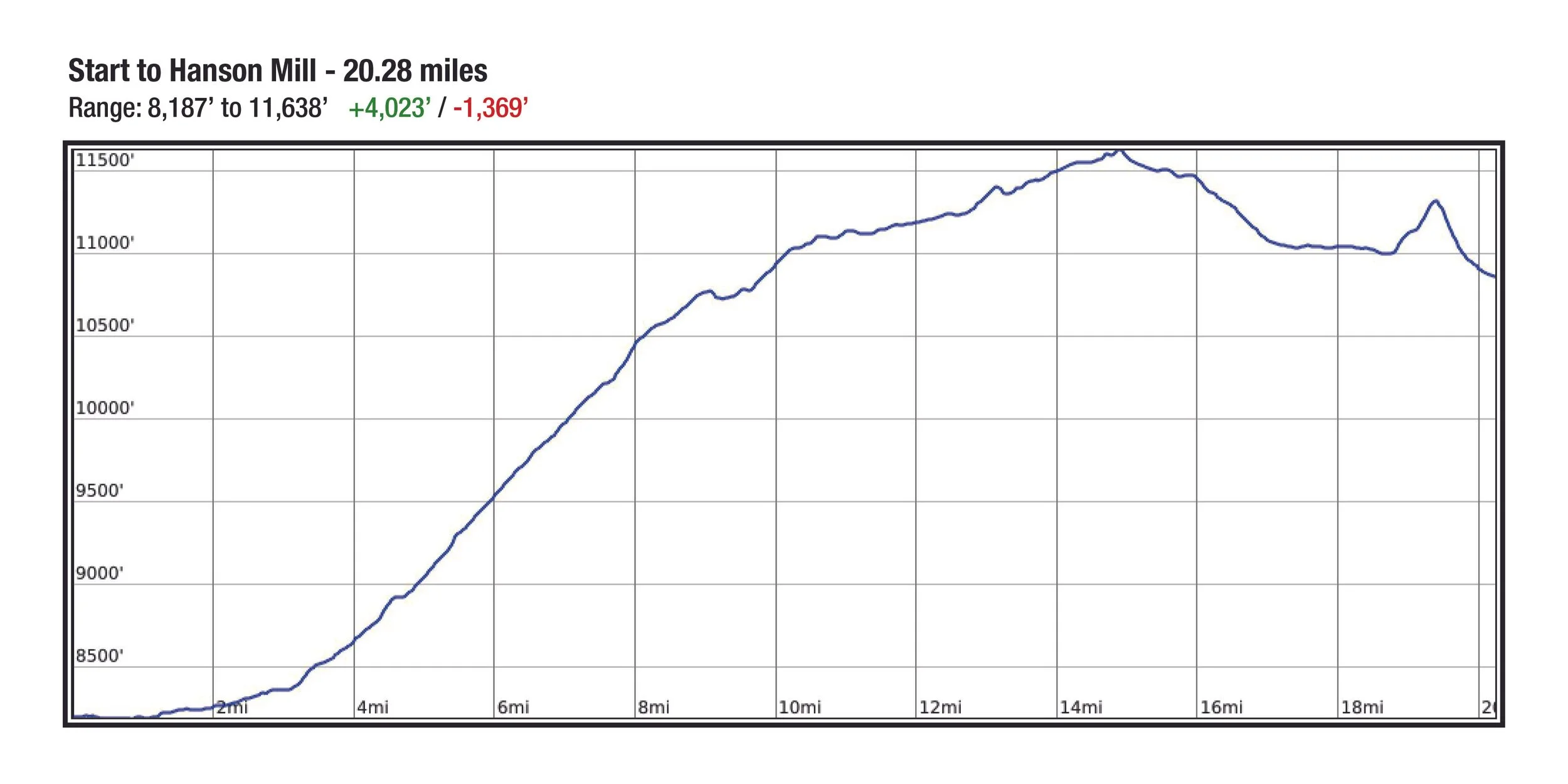
Start to AS#1 - Hanson Mill (20.28 miles)
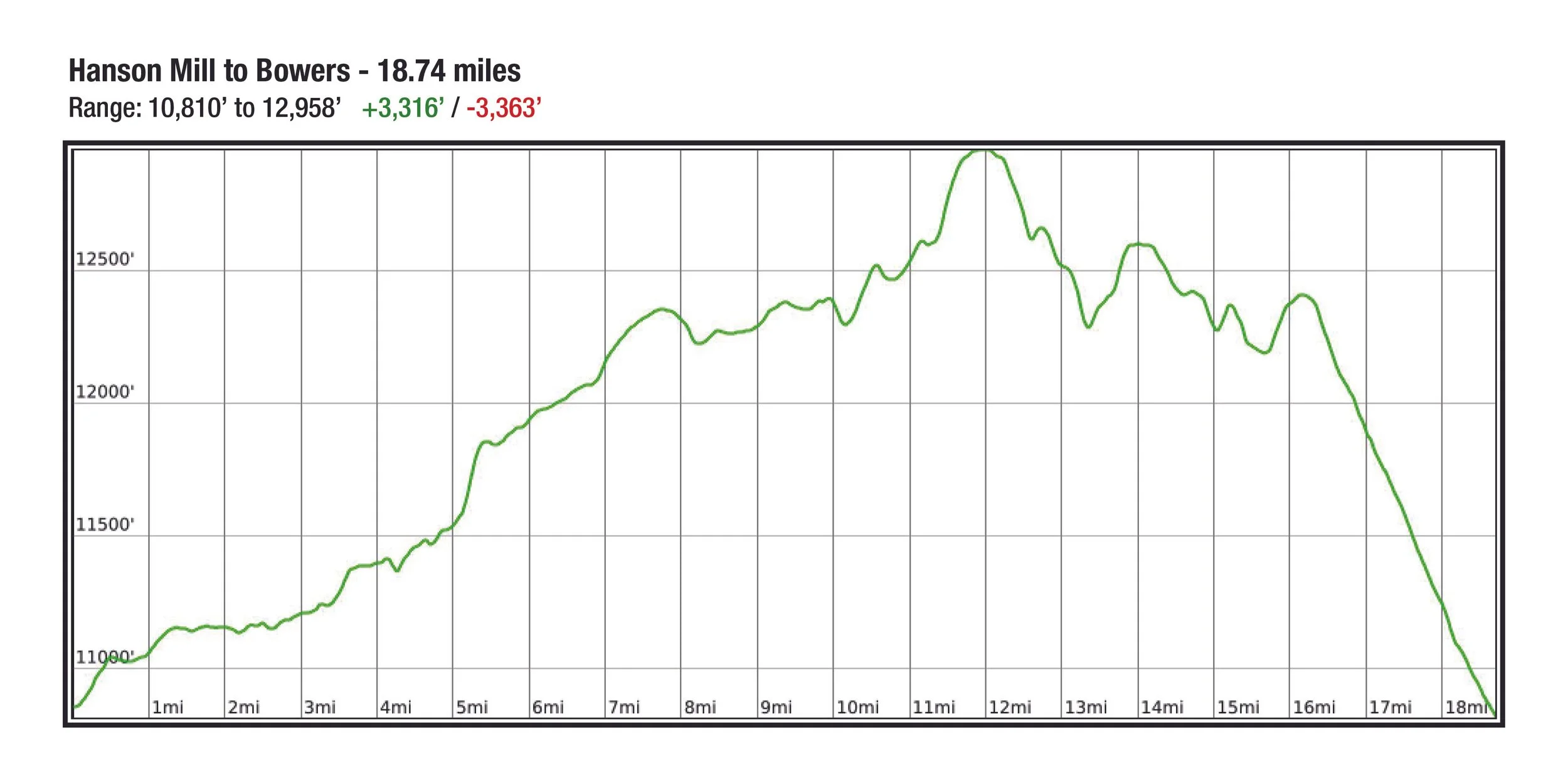
AS#1 - Hanson Mill to AS#2 - Bowers (18.74 miles)
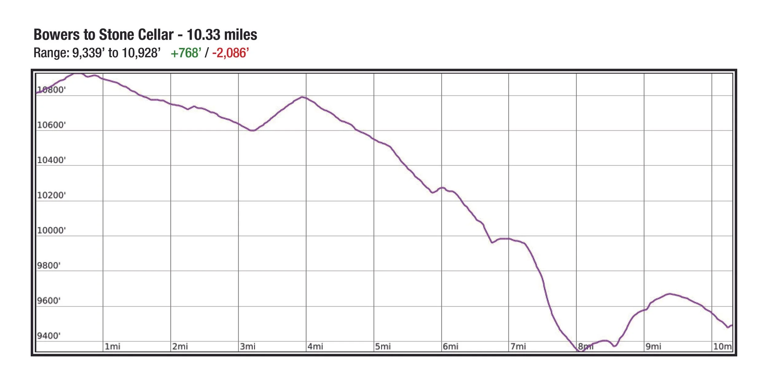
AS#2 - Bowers to AS#3 - Stone Cellar (10.33 miles)
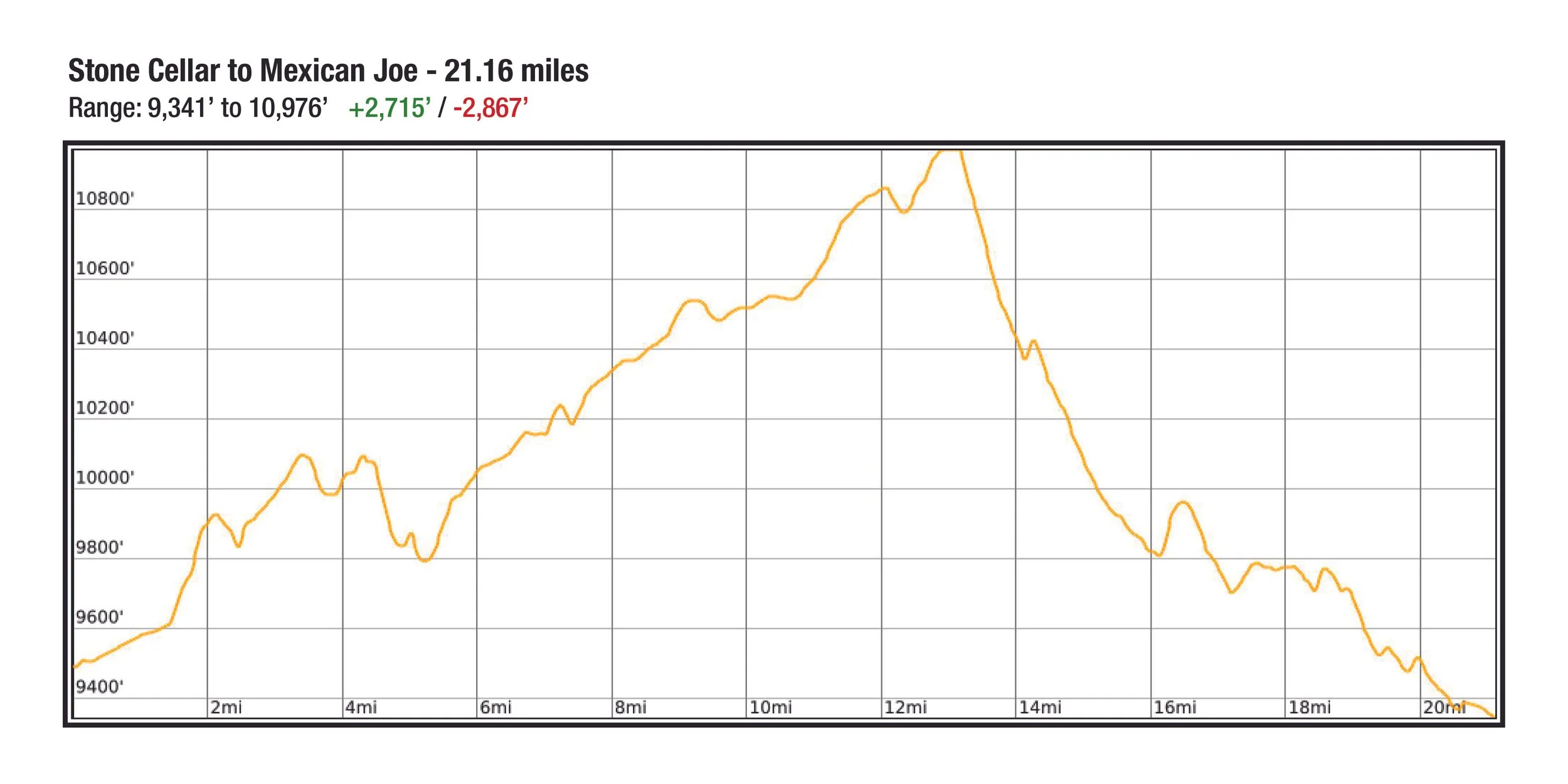
AS#3 -Stone Cellar to AS#4 - Mexican Joe (21.16 miles)
AS#4 - Mexican Joe to AS#5 - Stone Cellar (19.97 miles)
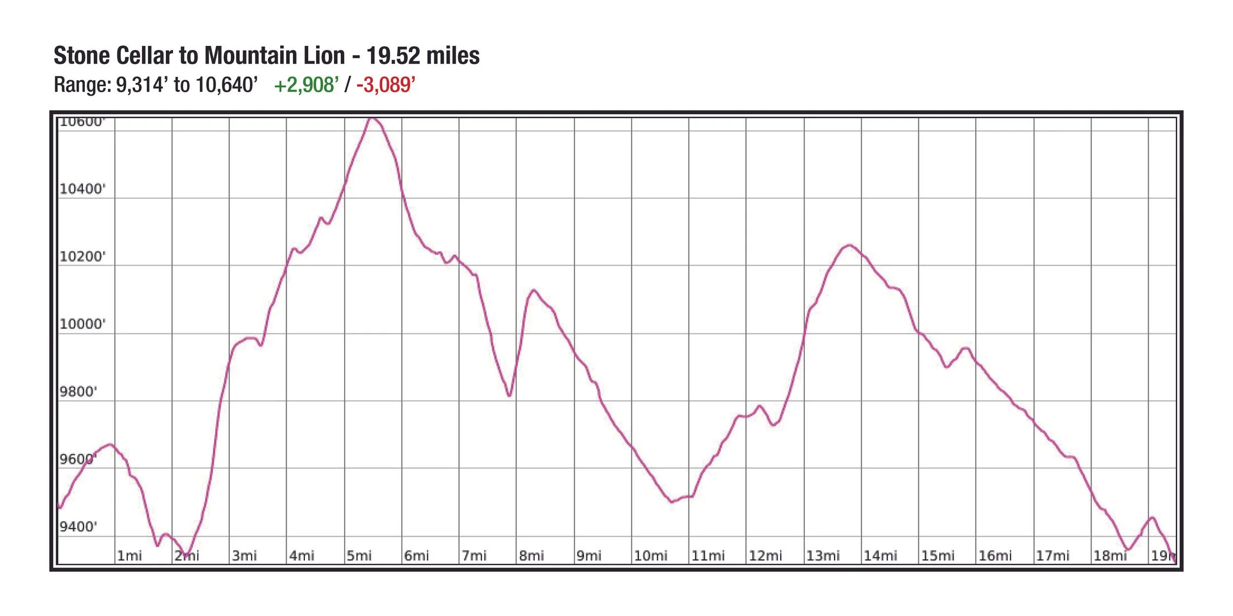
AS#5 - Stone Cellar to AS#6 - Mountain Lion (19.52 miles)
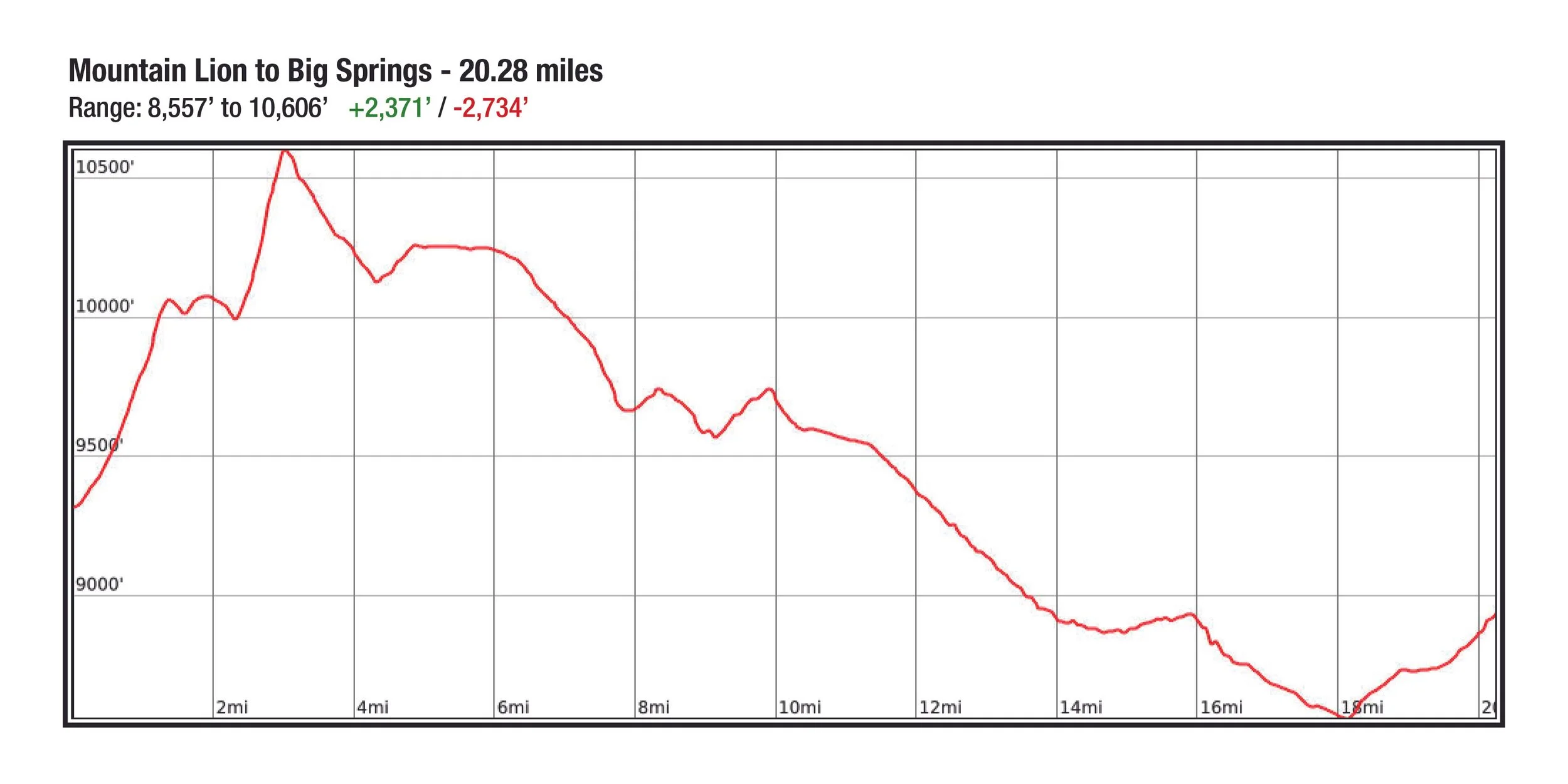
AS#6 - Mountain Lion to AS#7 - Big Springs (20.28 miles)