
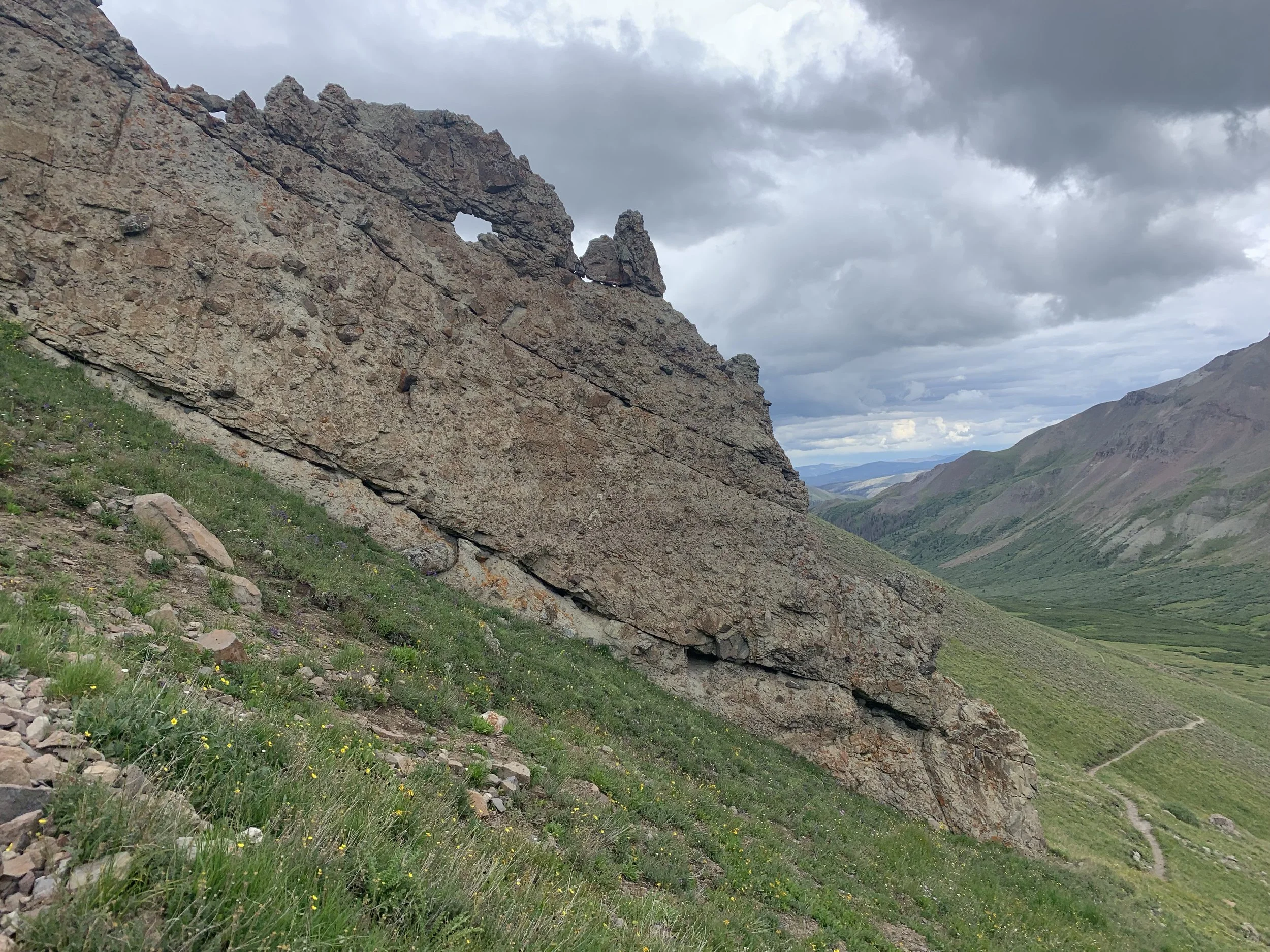
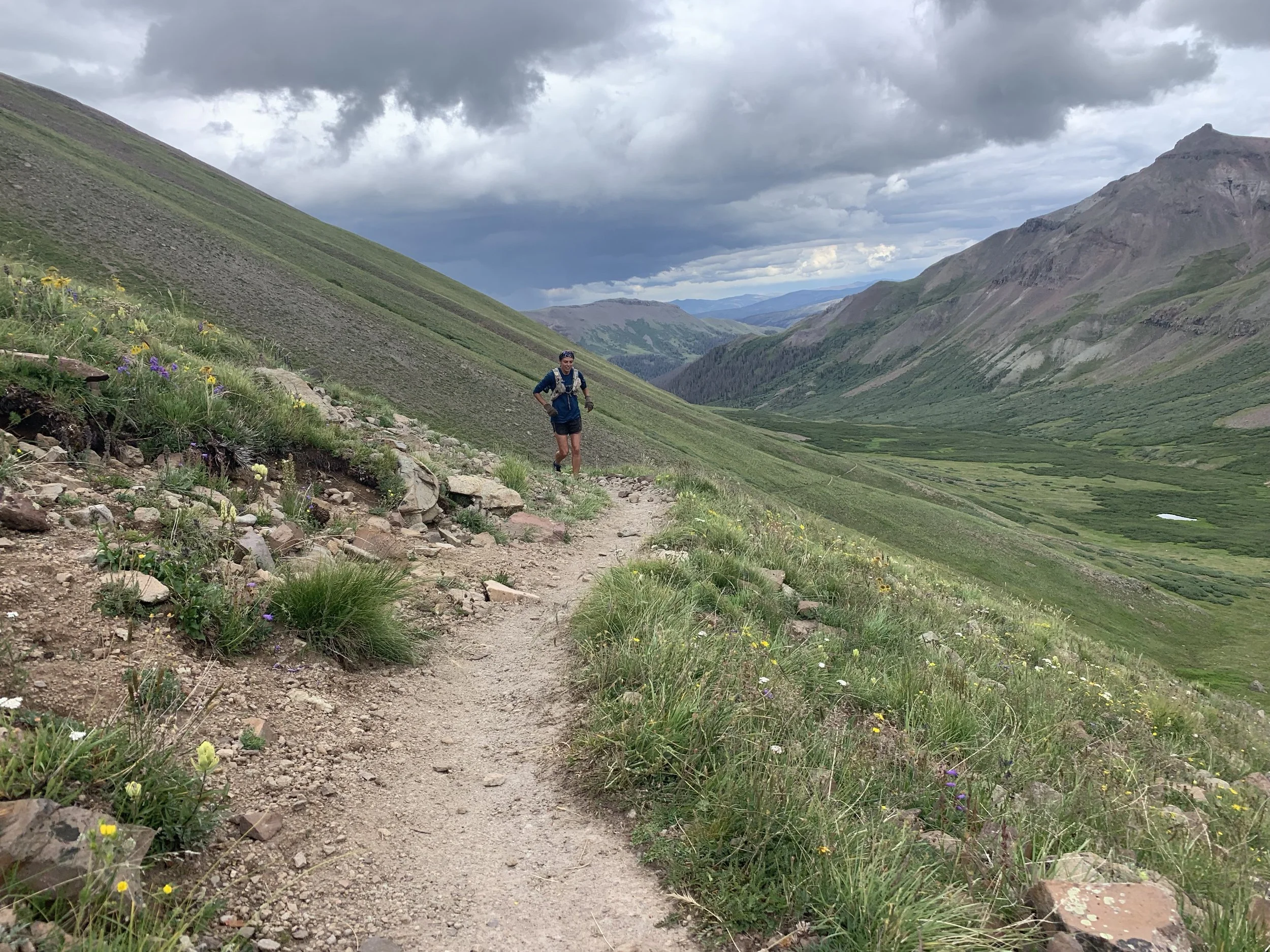
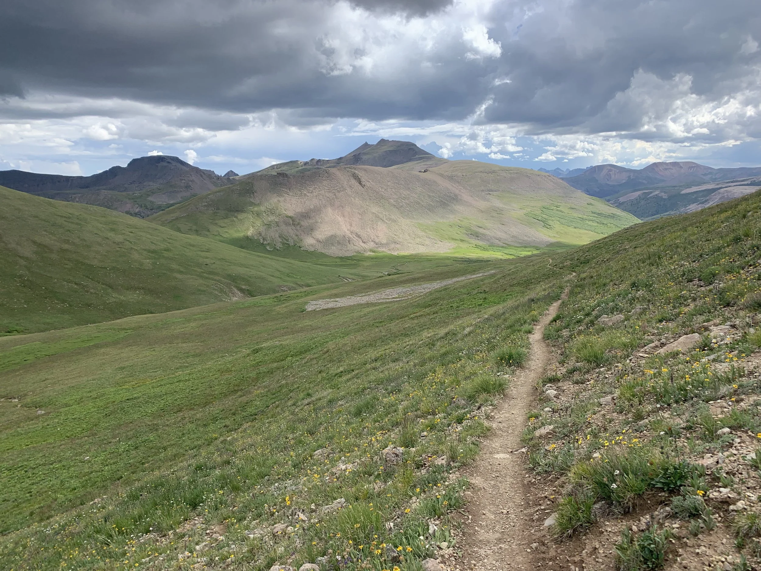
Course Details
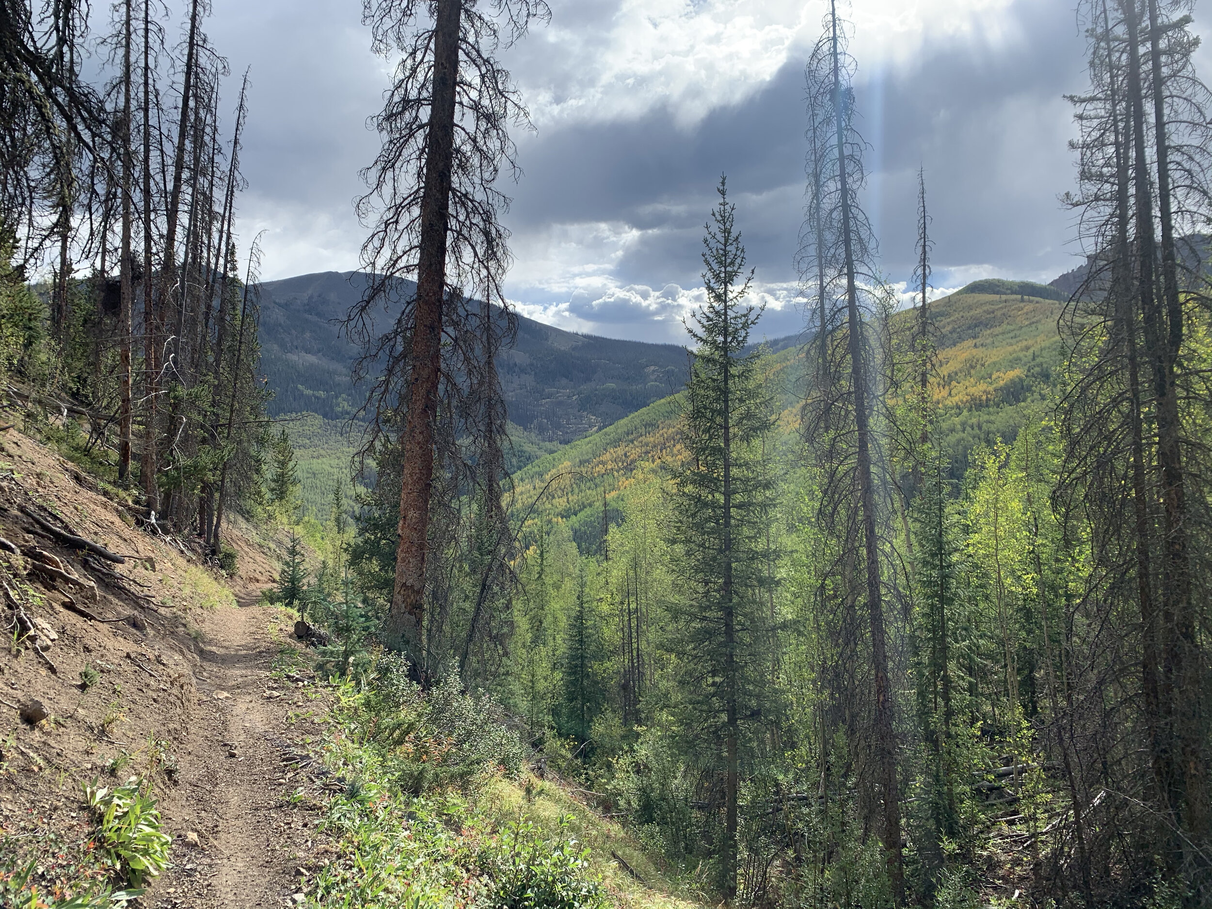
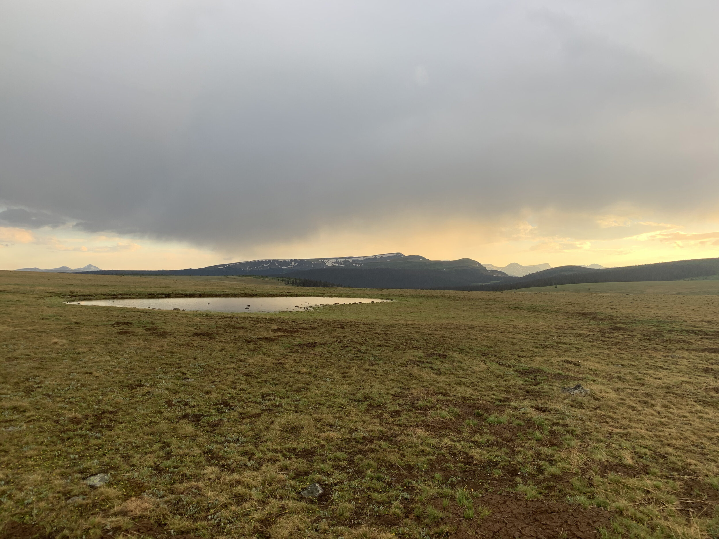
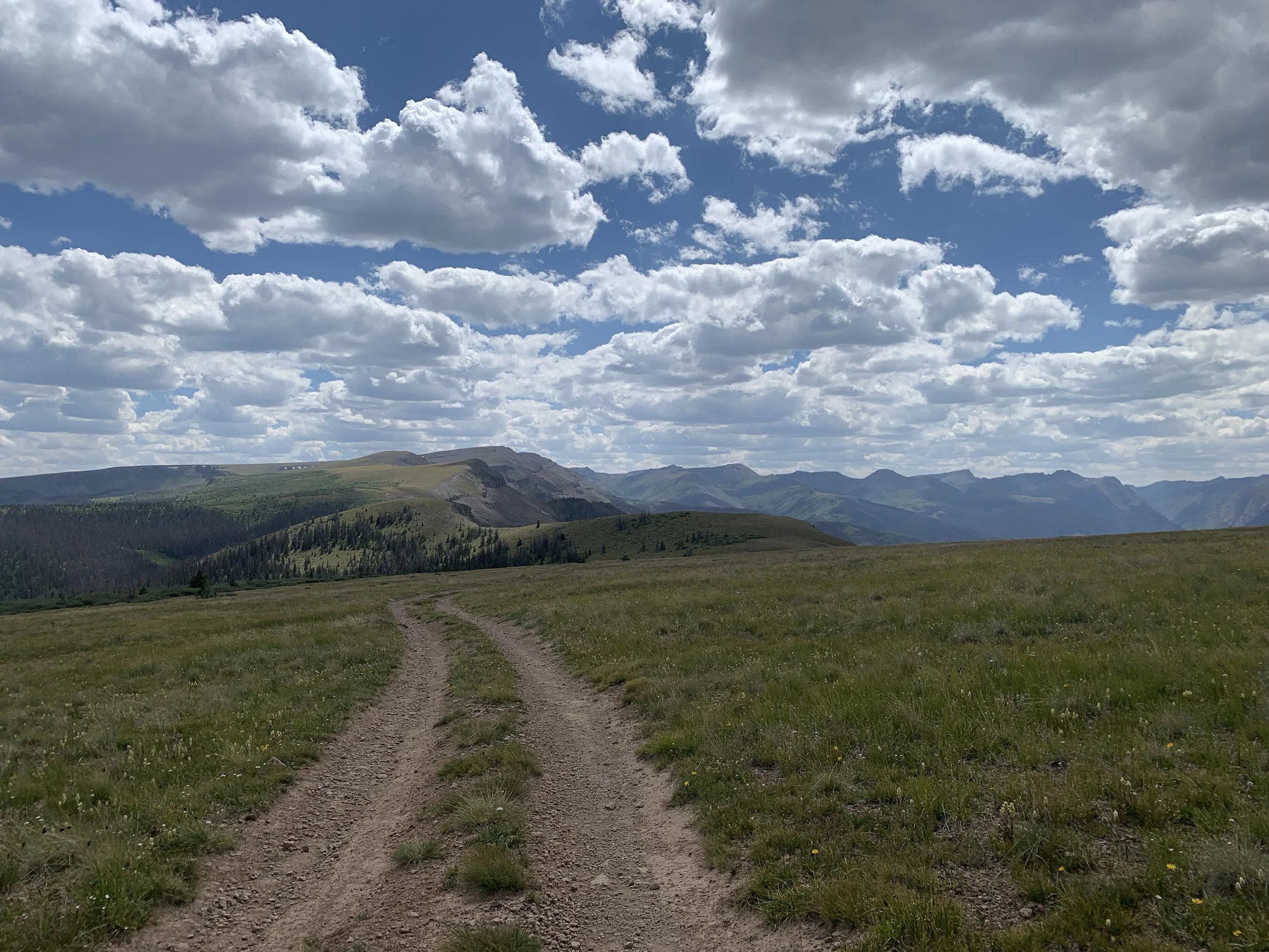
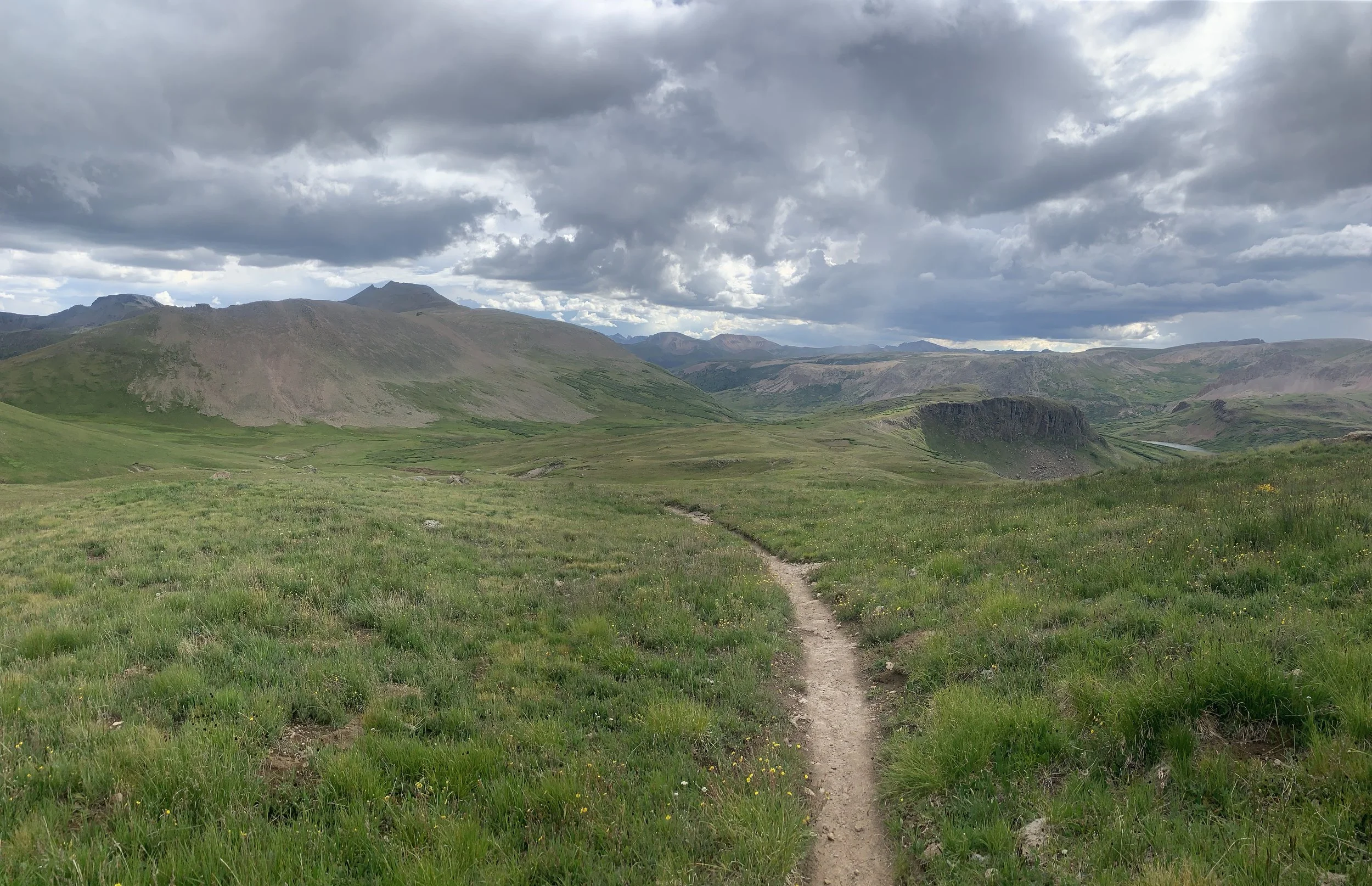
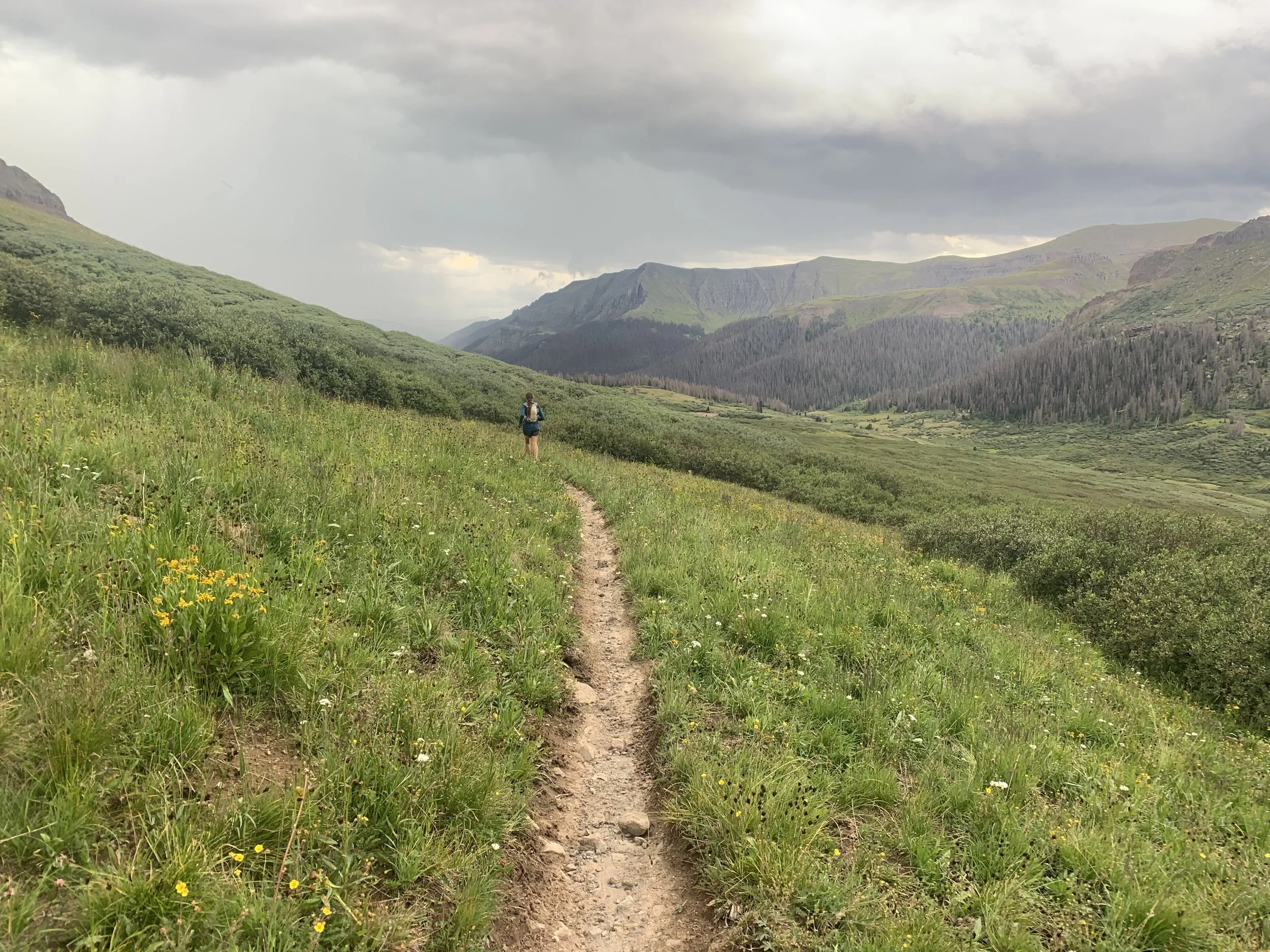
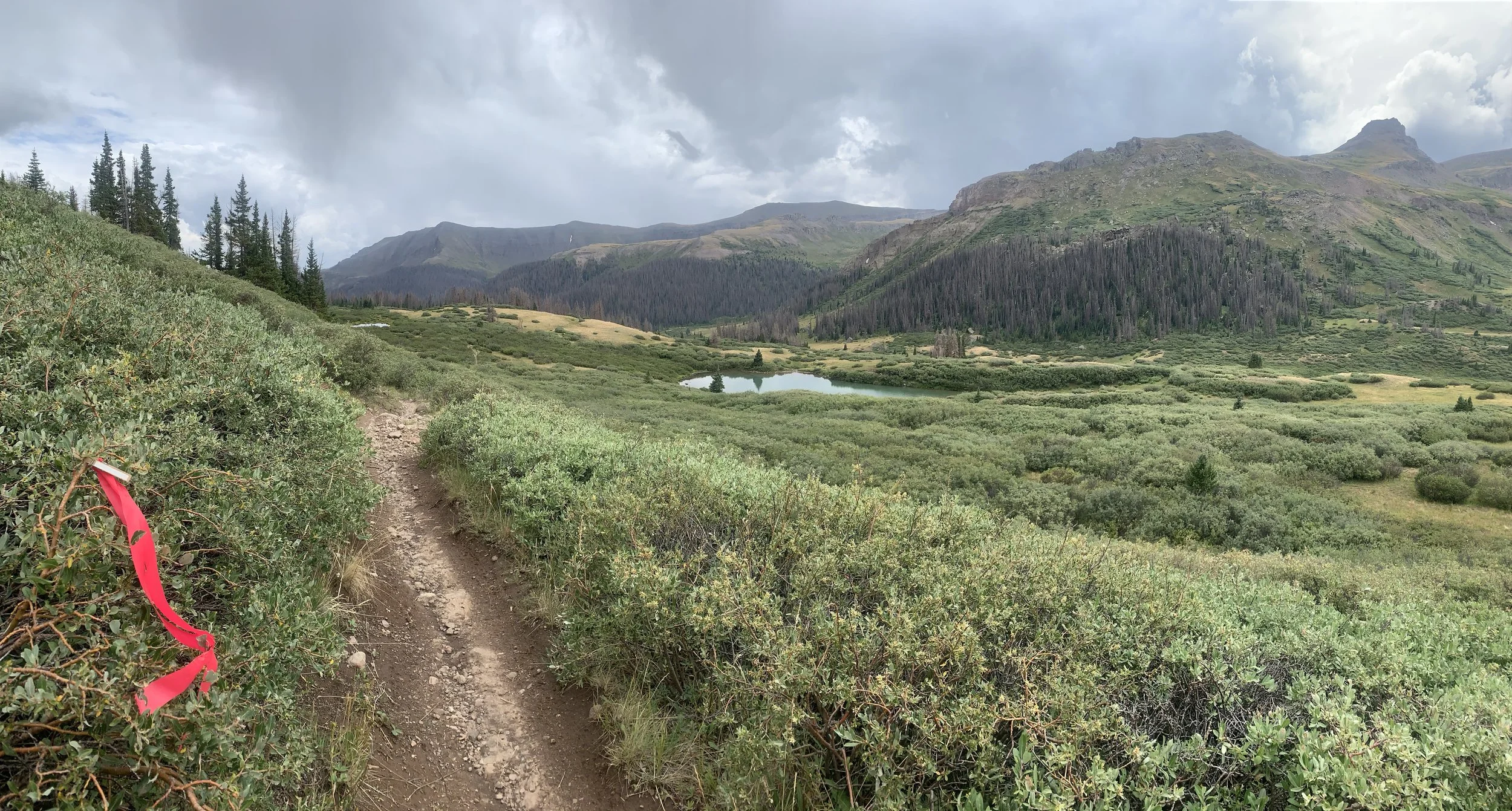
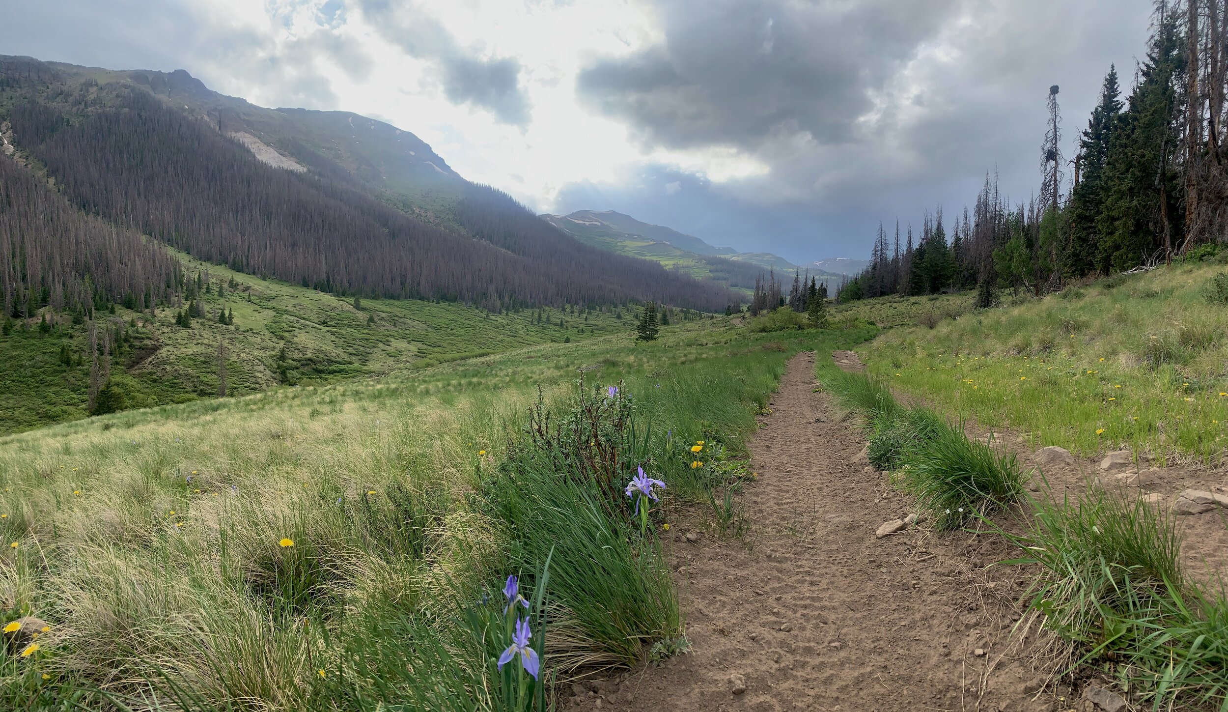
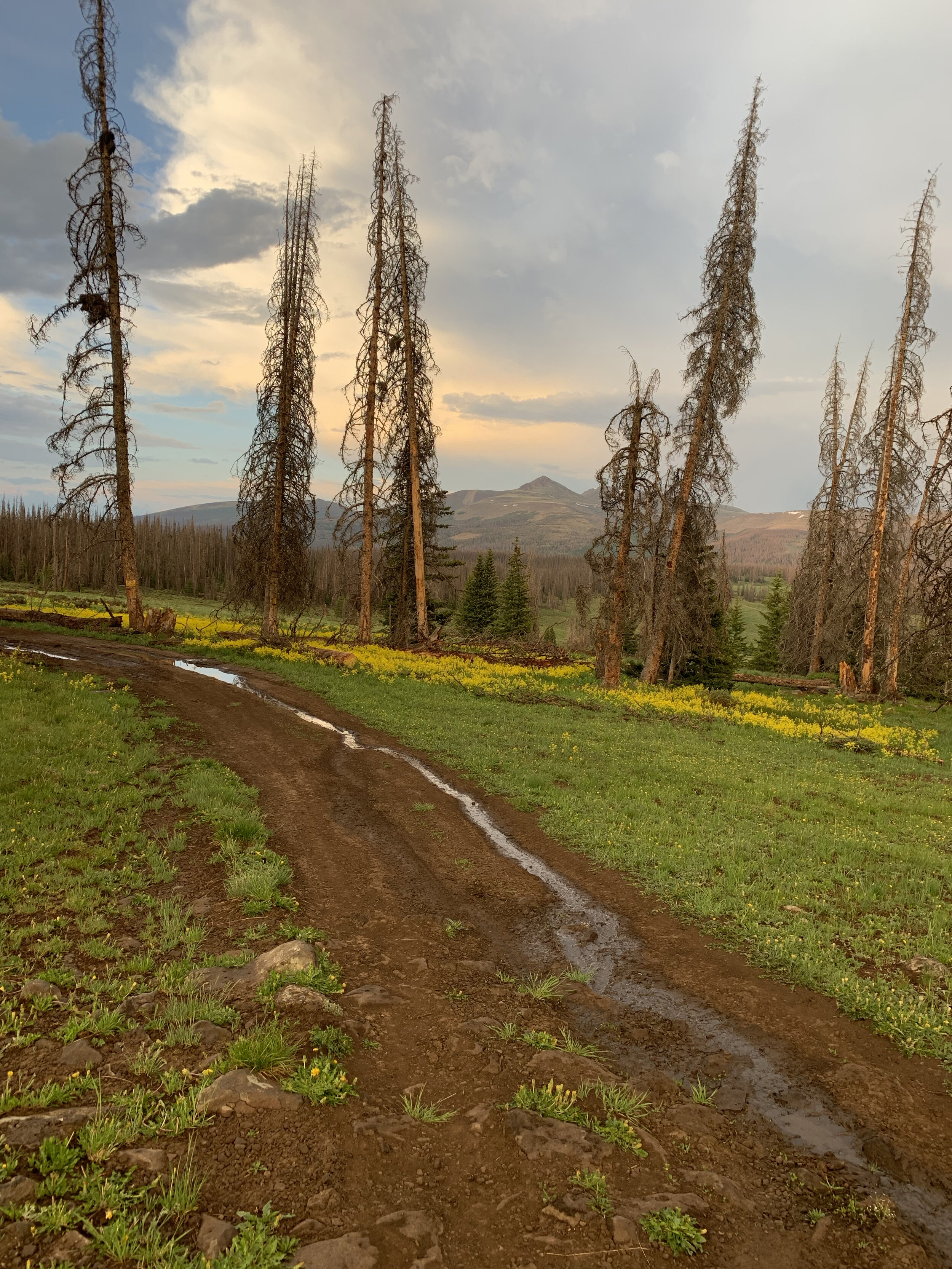
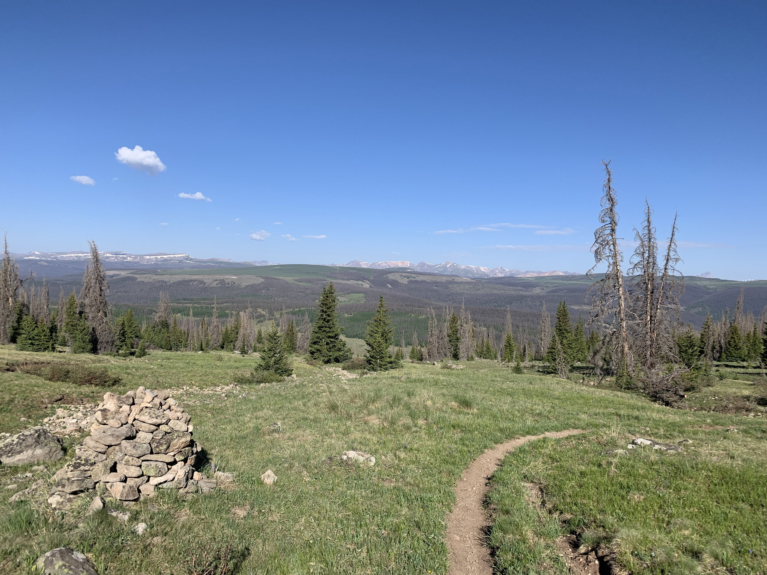
Ok, so here’s the deal. We are old school and still hold on to the belief that trail running should be simple; some shoes and proper clothing, water and food and a basic understanding of where you are going. We hold on to the idea that trail runners should be fairly self sufficient. We will warn you now, mileage is based on “ishes”, “arounds”, “approximately” - in other words IT IS NOT EXACT. If you are one of those people that live and die by the distance displayed on your watch, then this race may stretch your comfort zone. We take pride in having a well marked course and will do everything we can to mark the course and intersections clearly, but understanding and knowing the course ahead of time is a must. You never know when our friendly elk will play tricks on you by removing ribbons and flags! As long as you see markers, just keep running until you see the aid station. Enjoy the experience and freeness of ultra trail running.

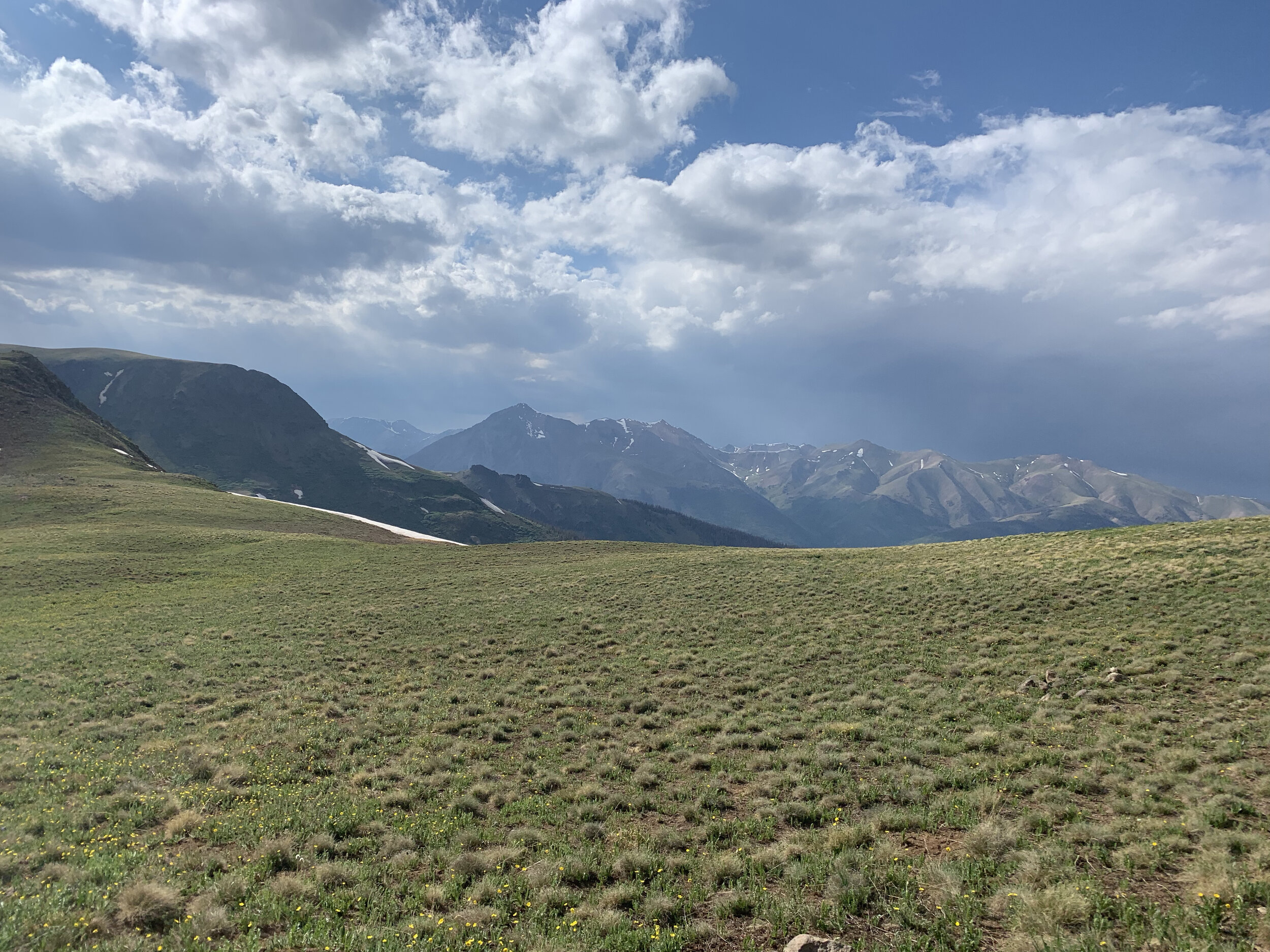
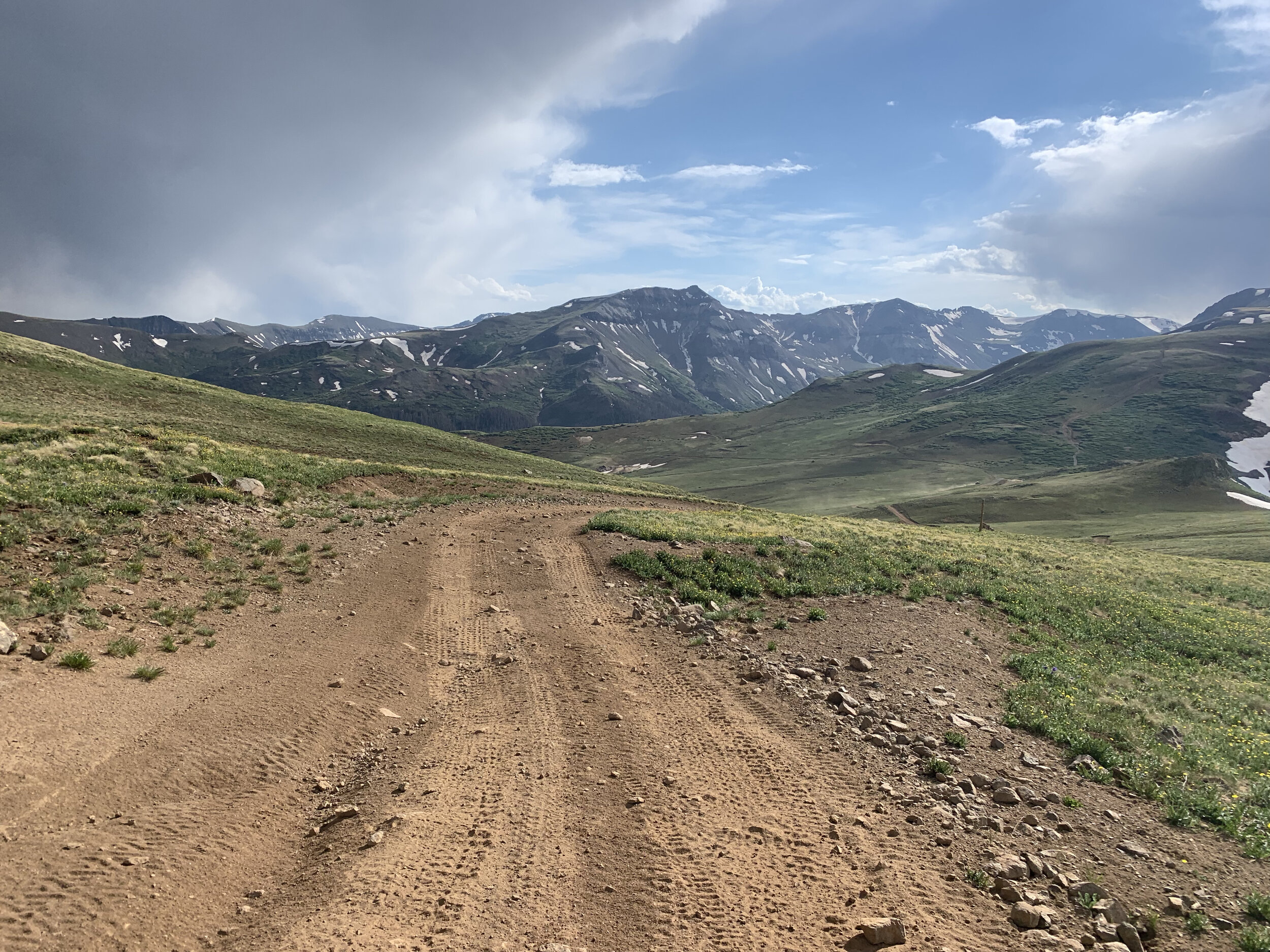
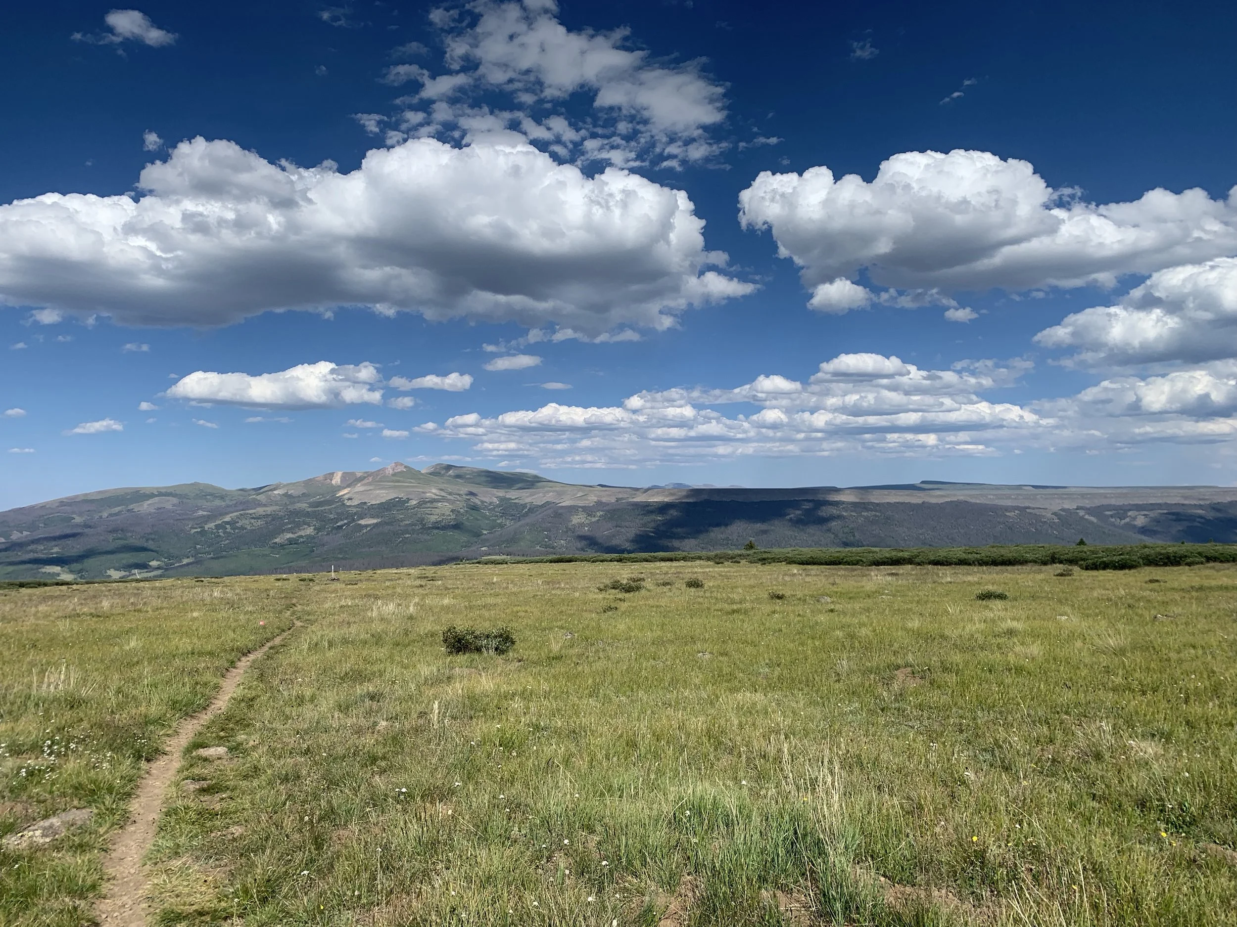
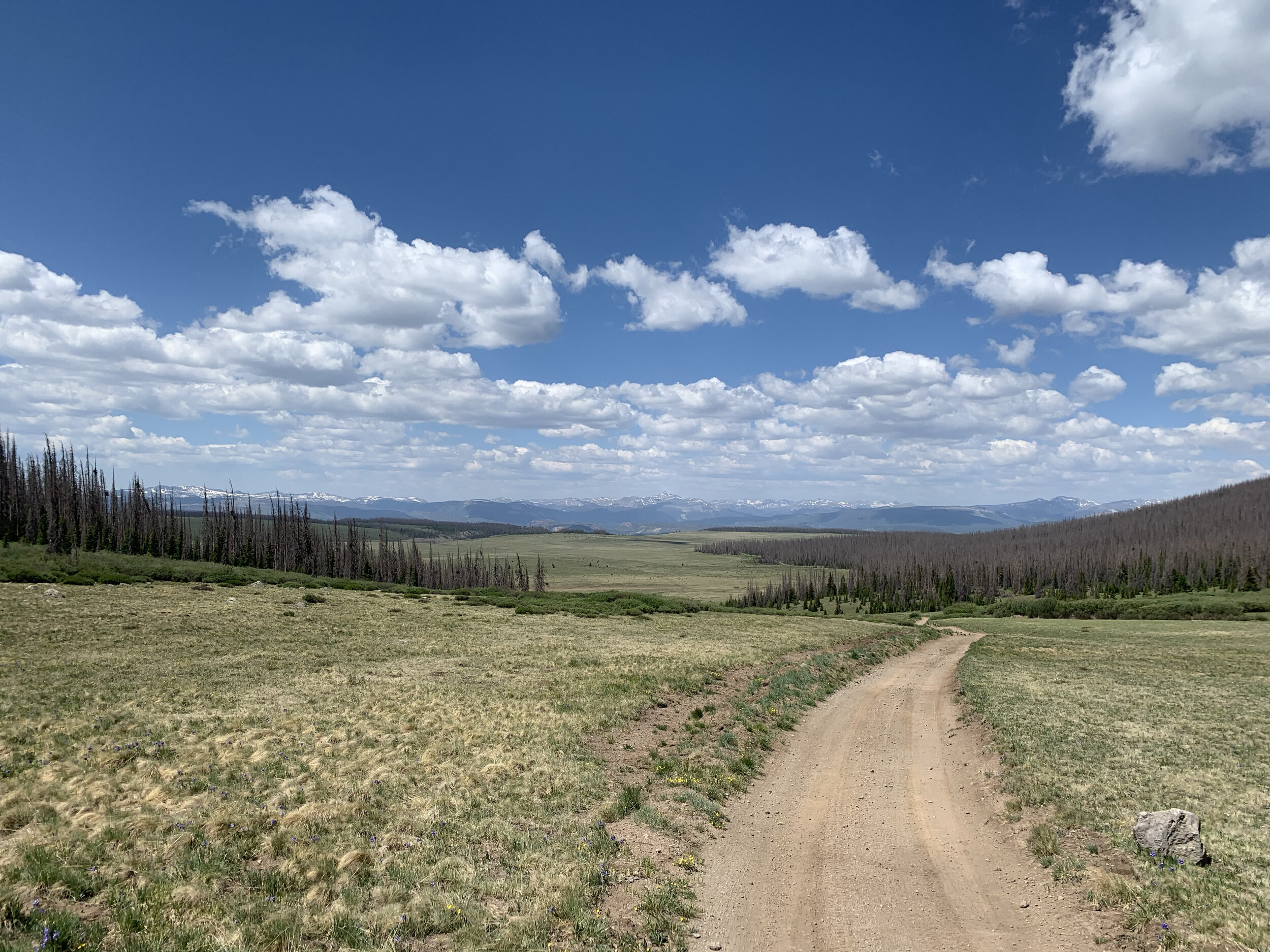
Distance: ~106.5 miles
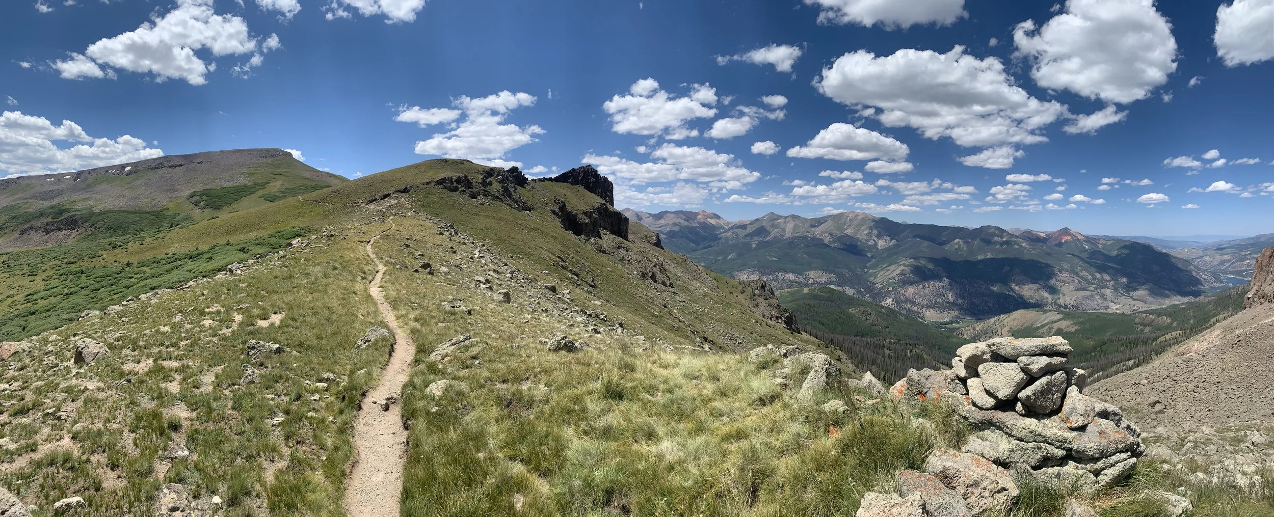
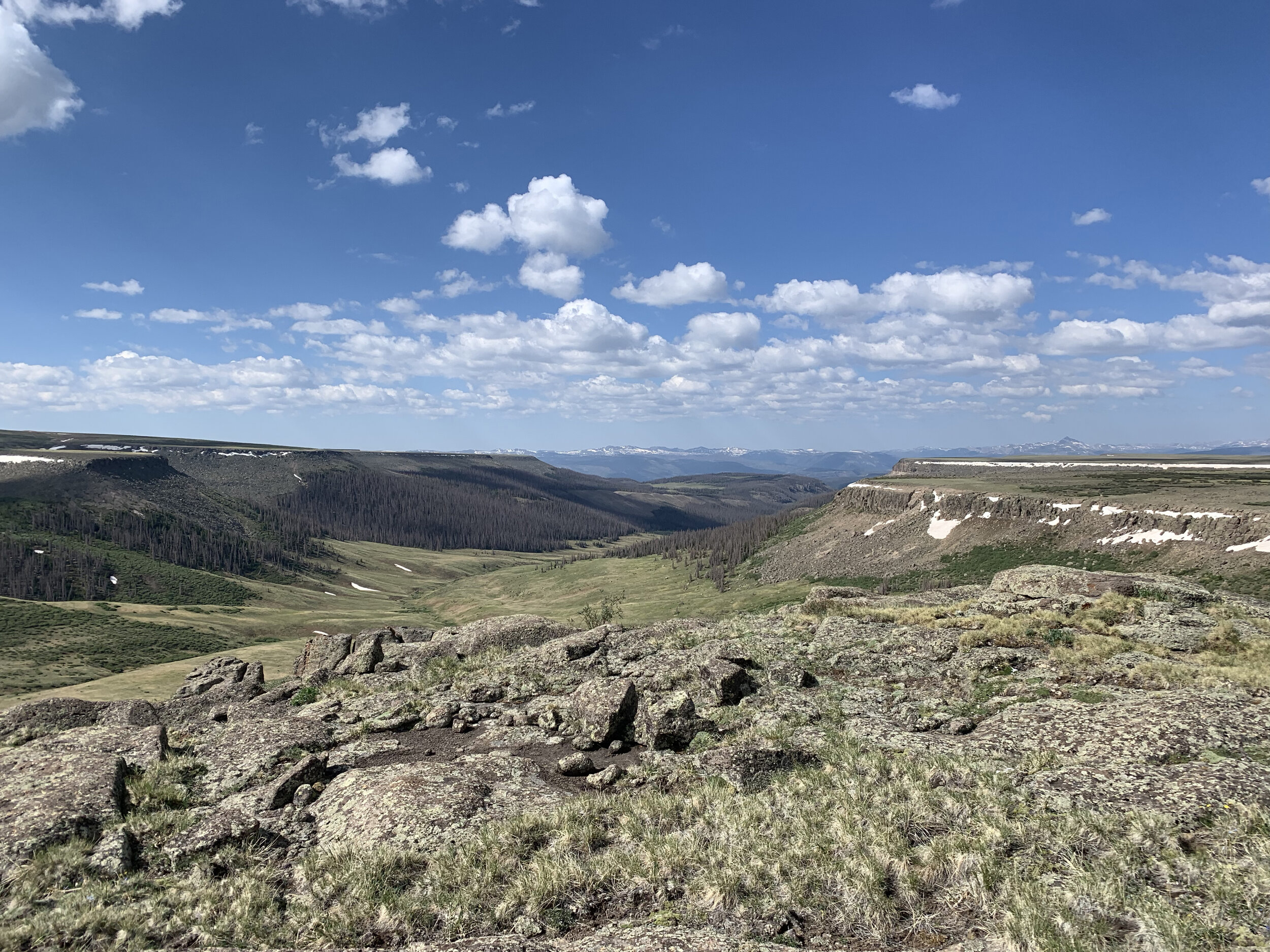
High Point: 13,261 ft
Low Point: 8,786 ft
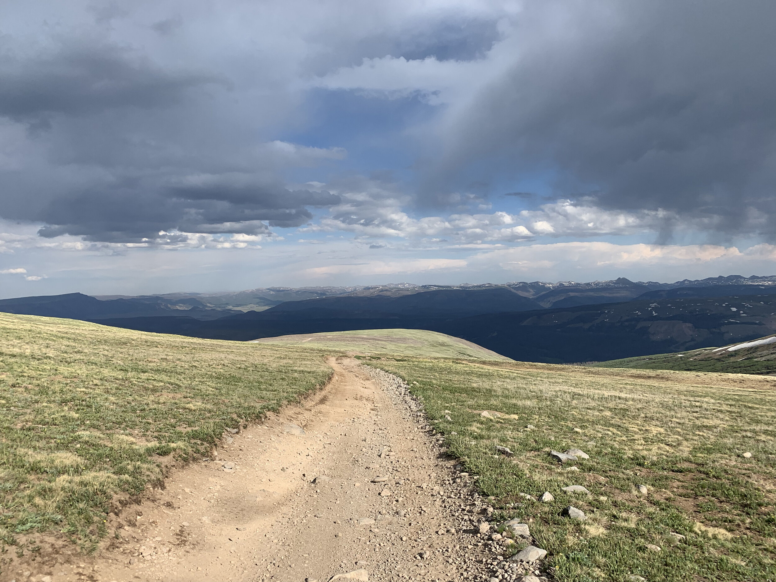
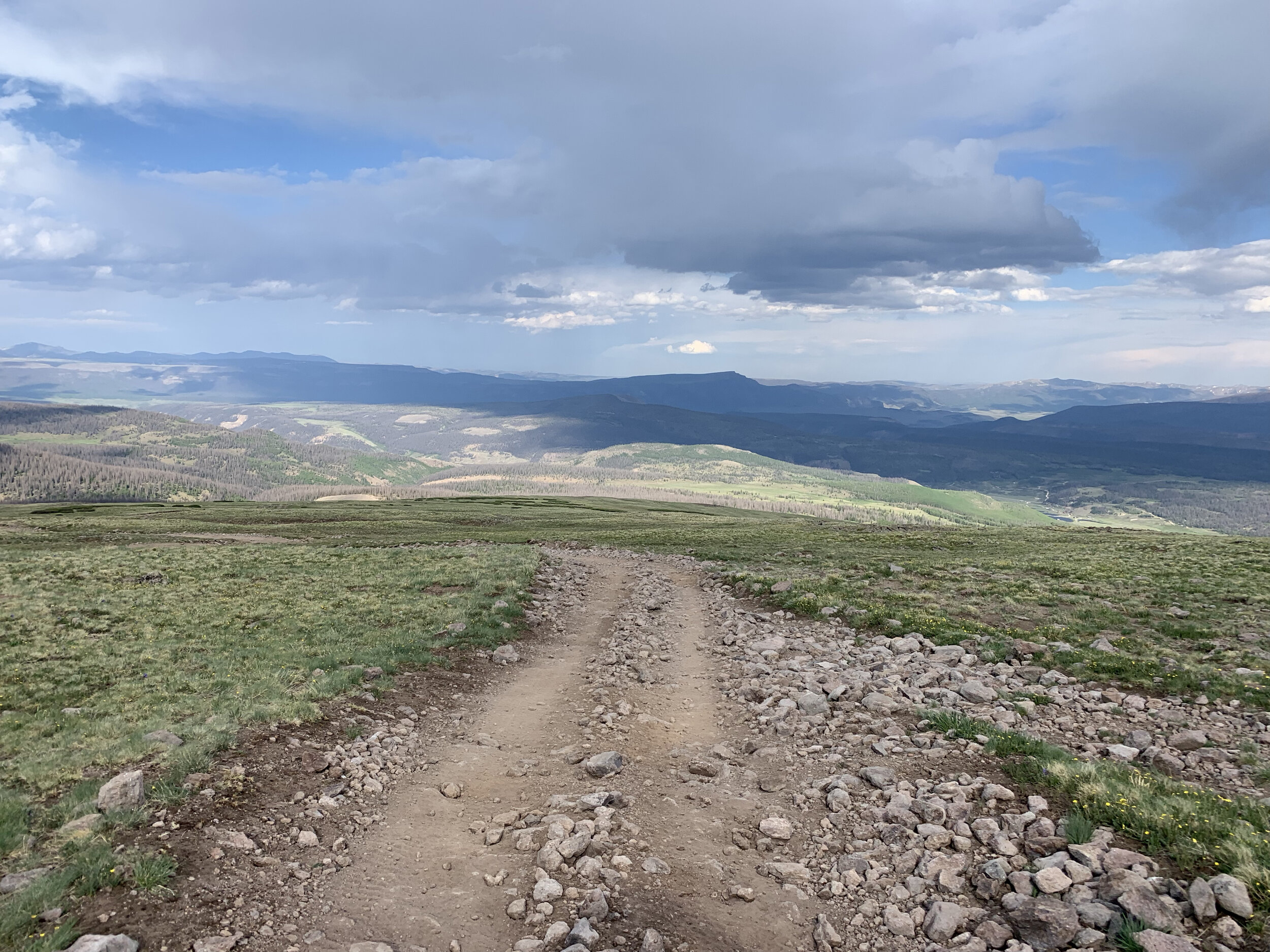
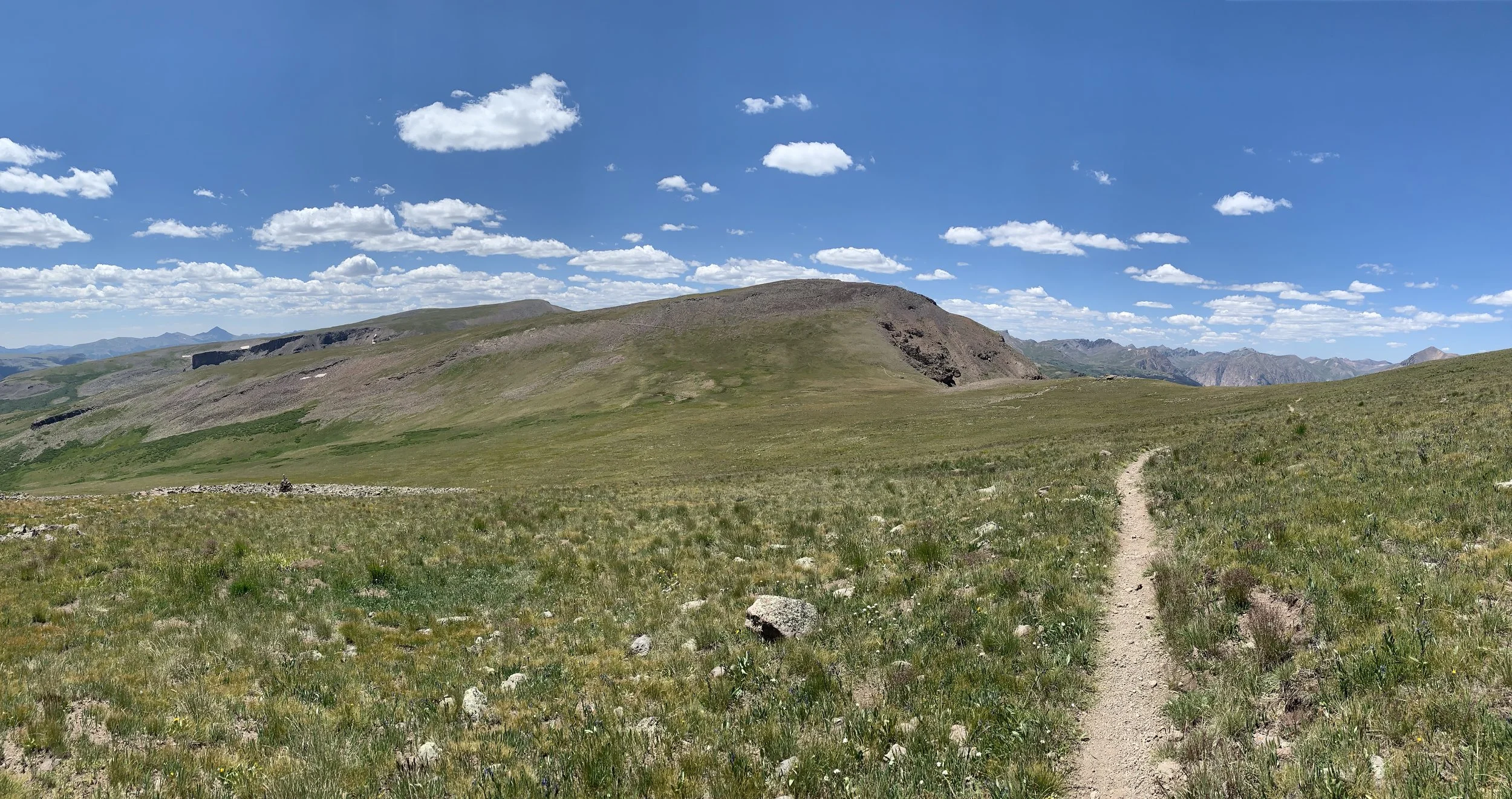
Average Elevation: 11,359 ft
Total Elevation gain: ~20,822 ft
Cut Off: 40 hours
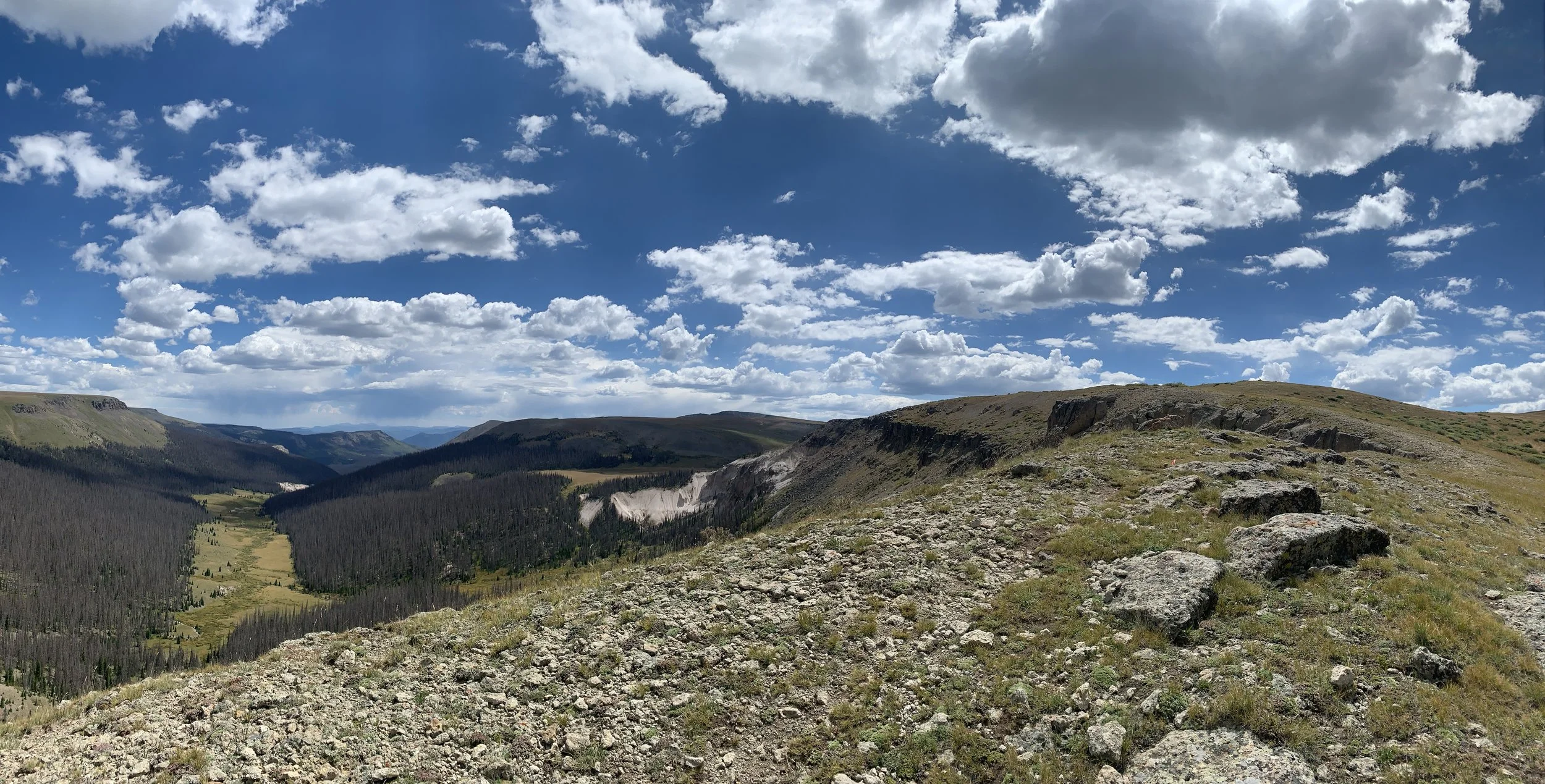
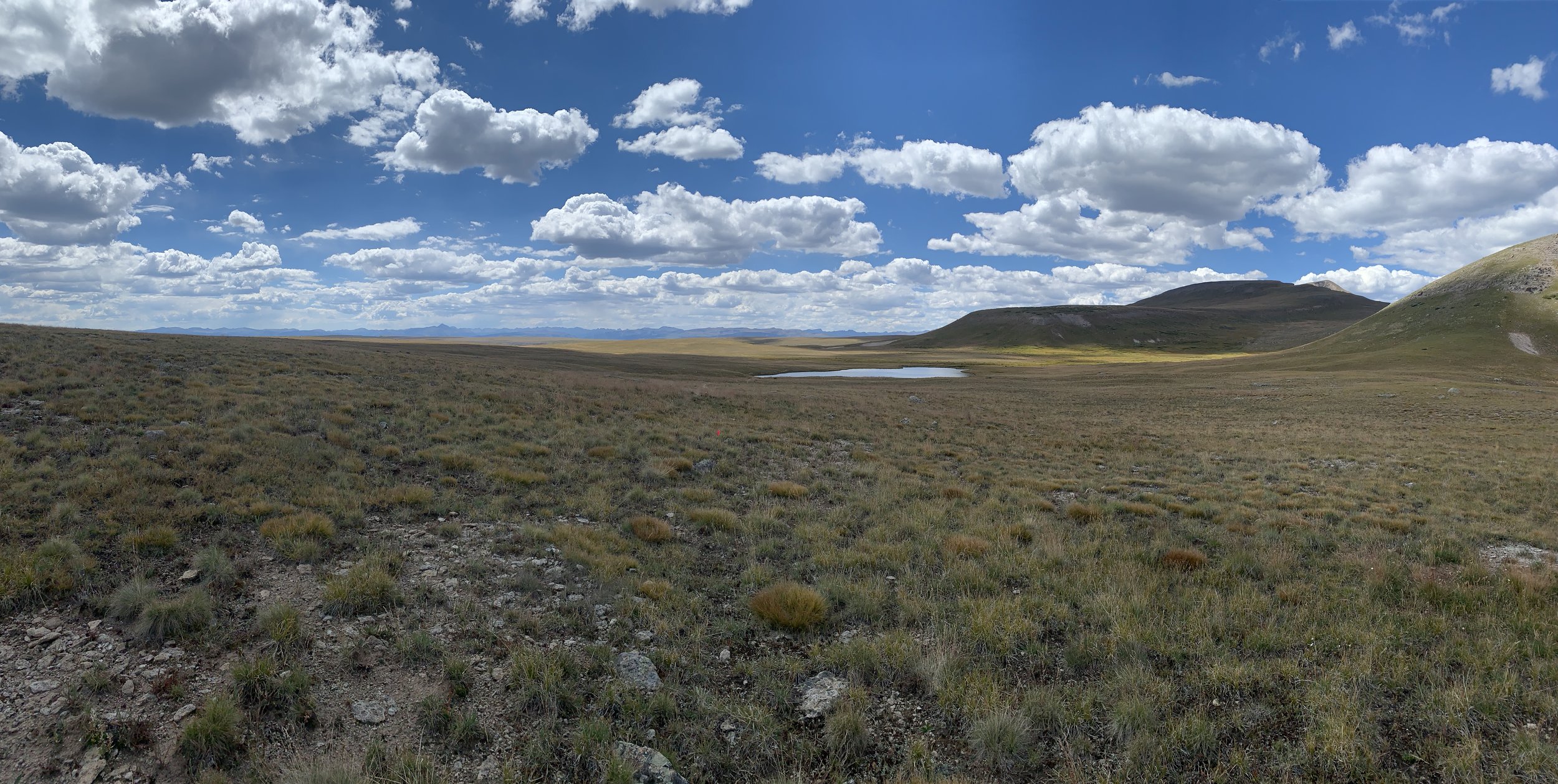
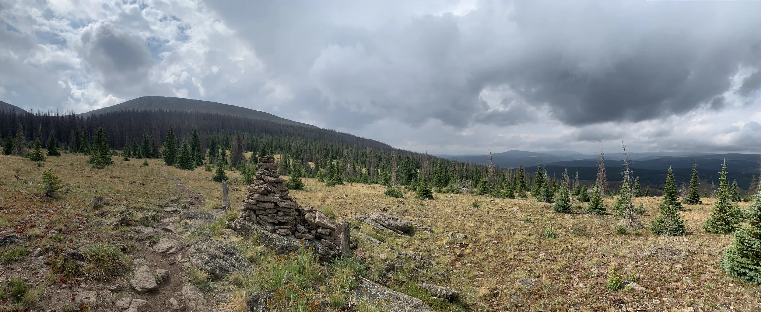
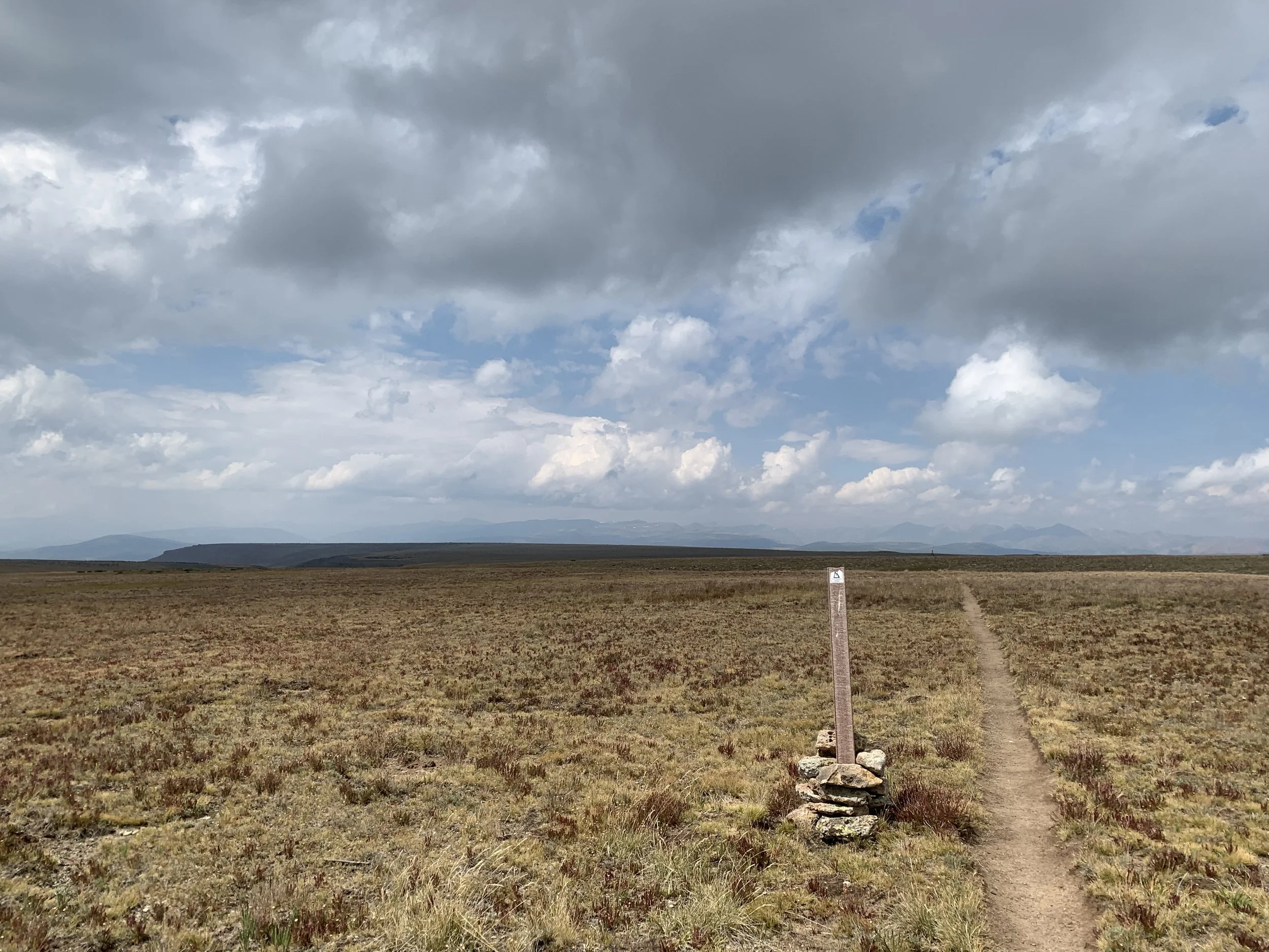
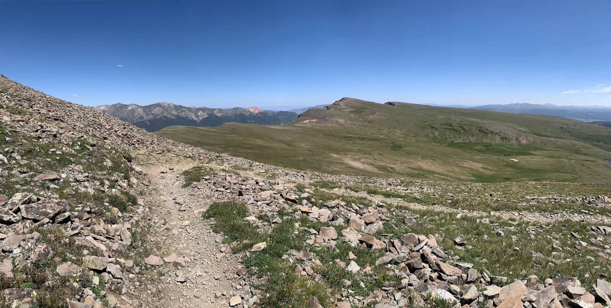
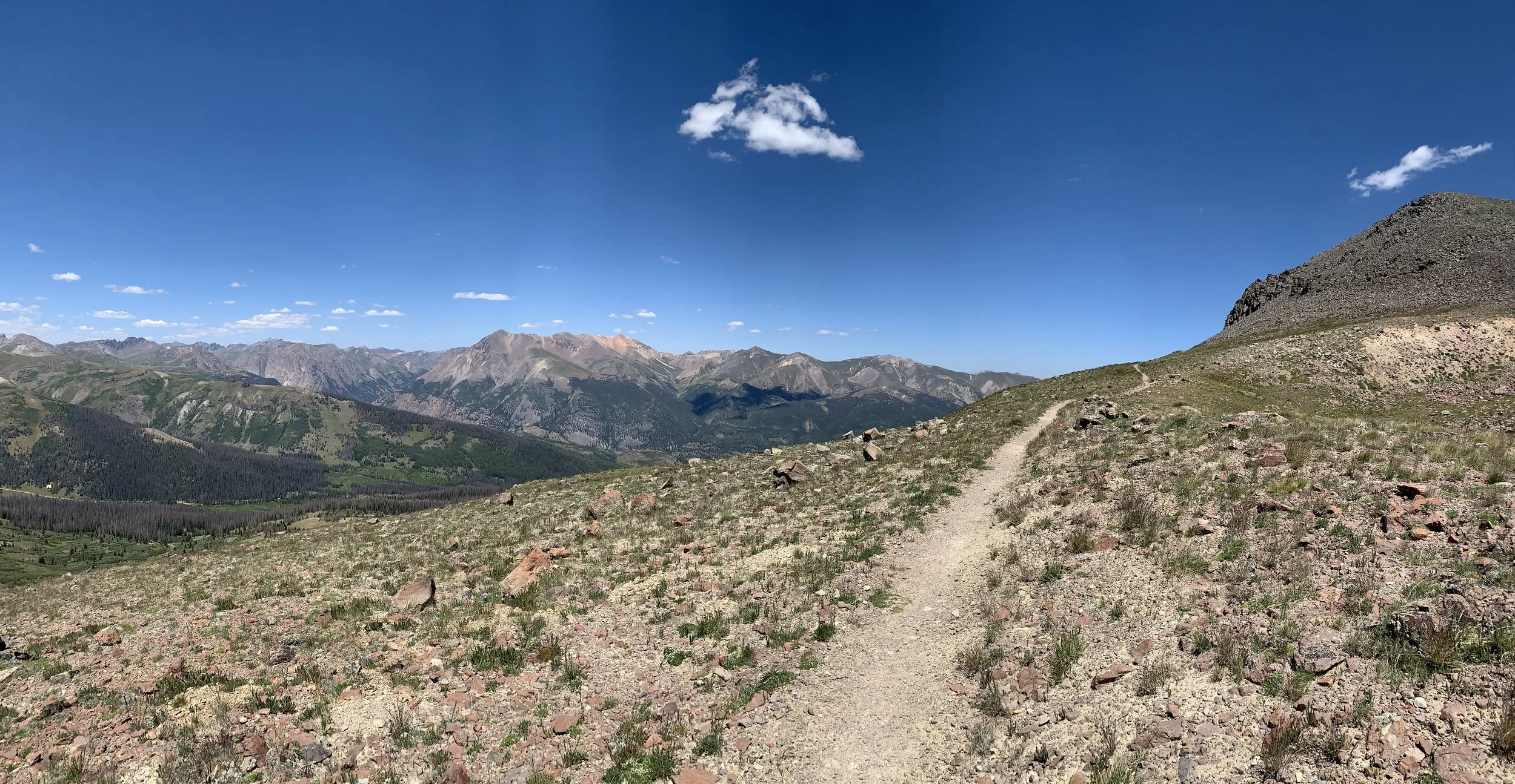
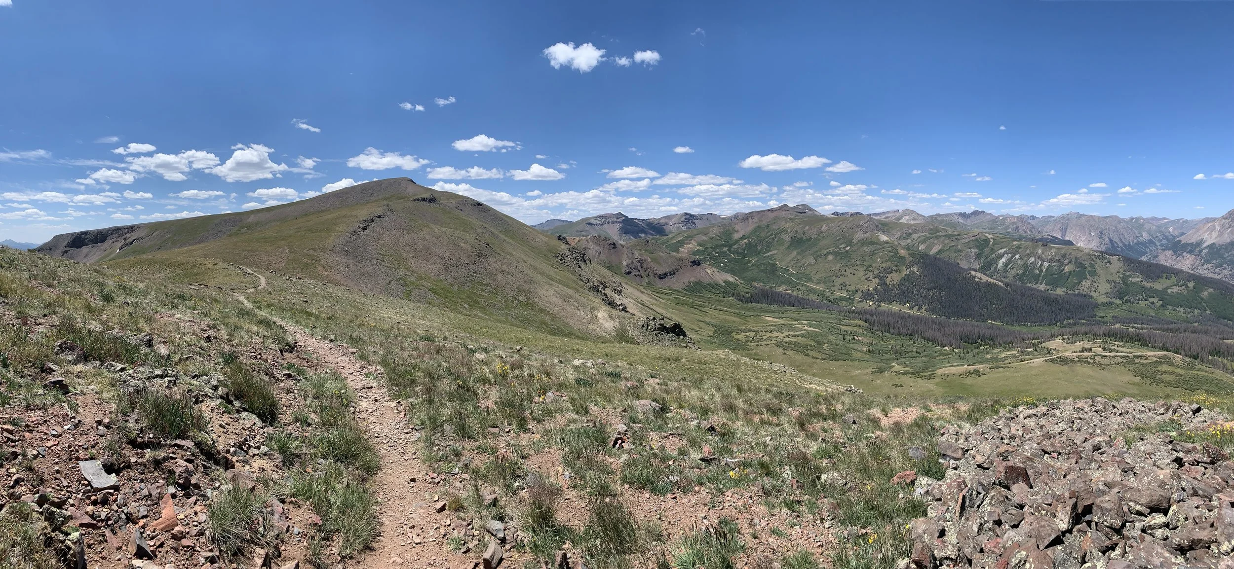
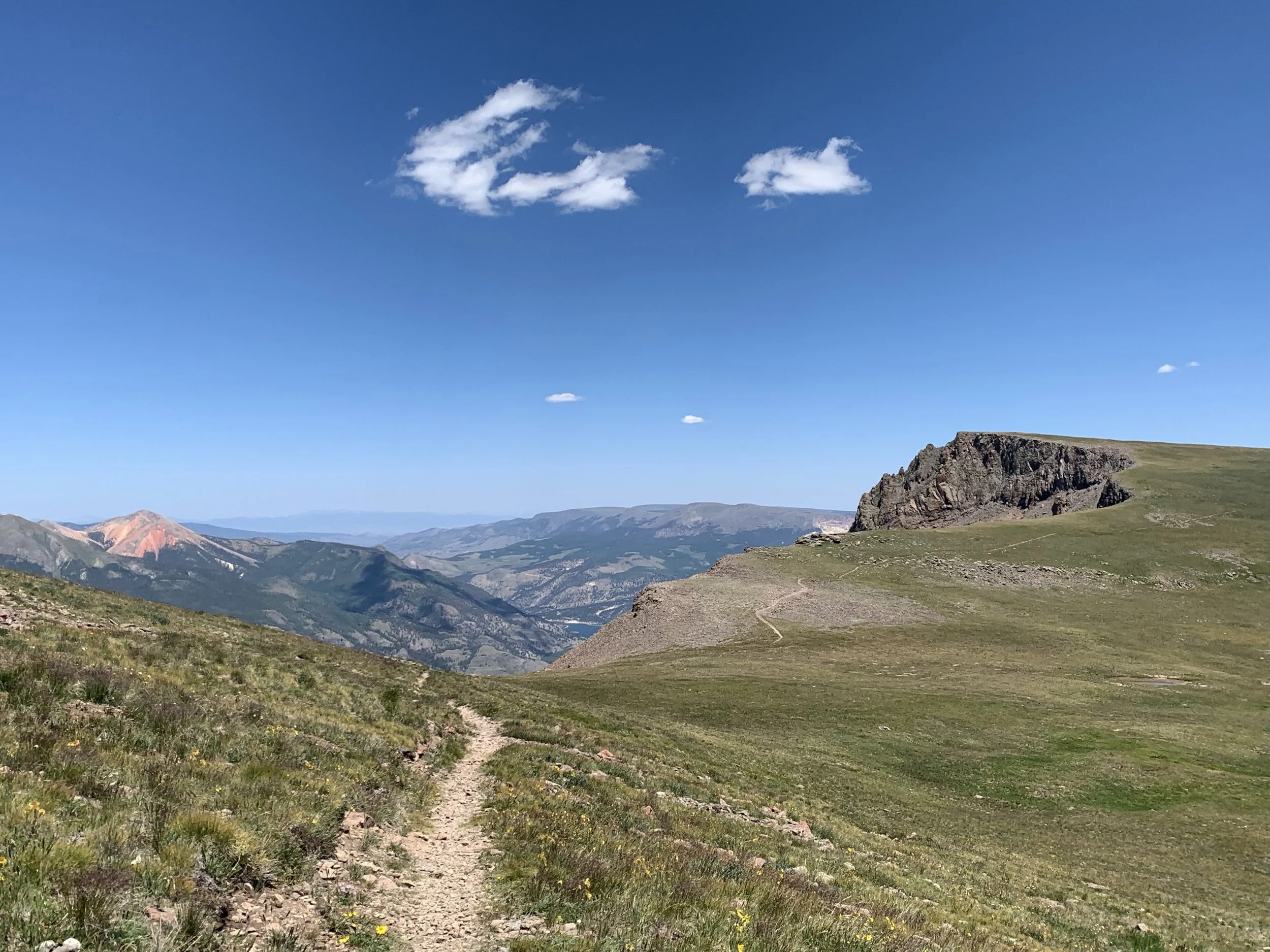
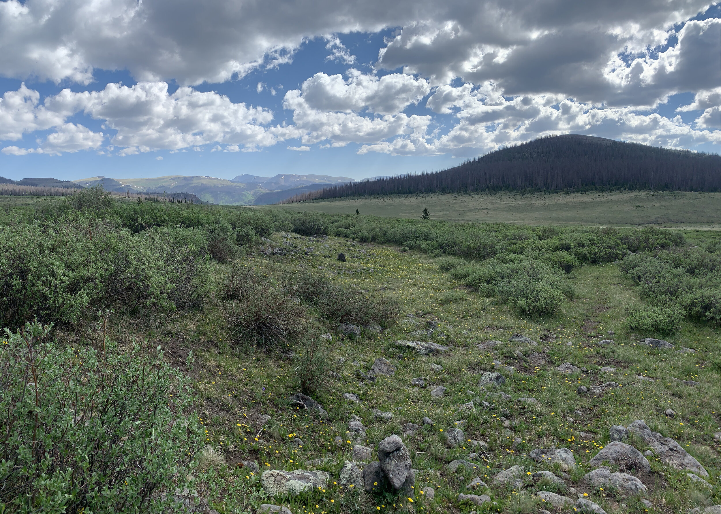
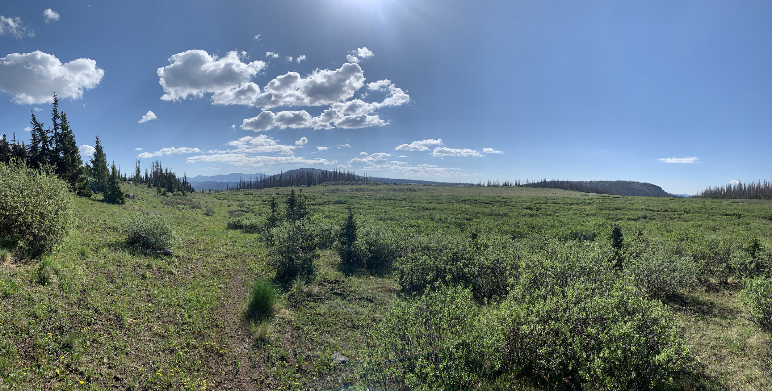
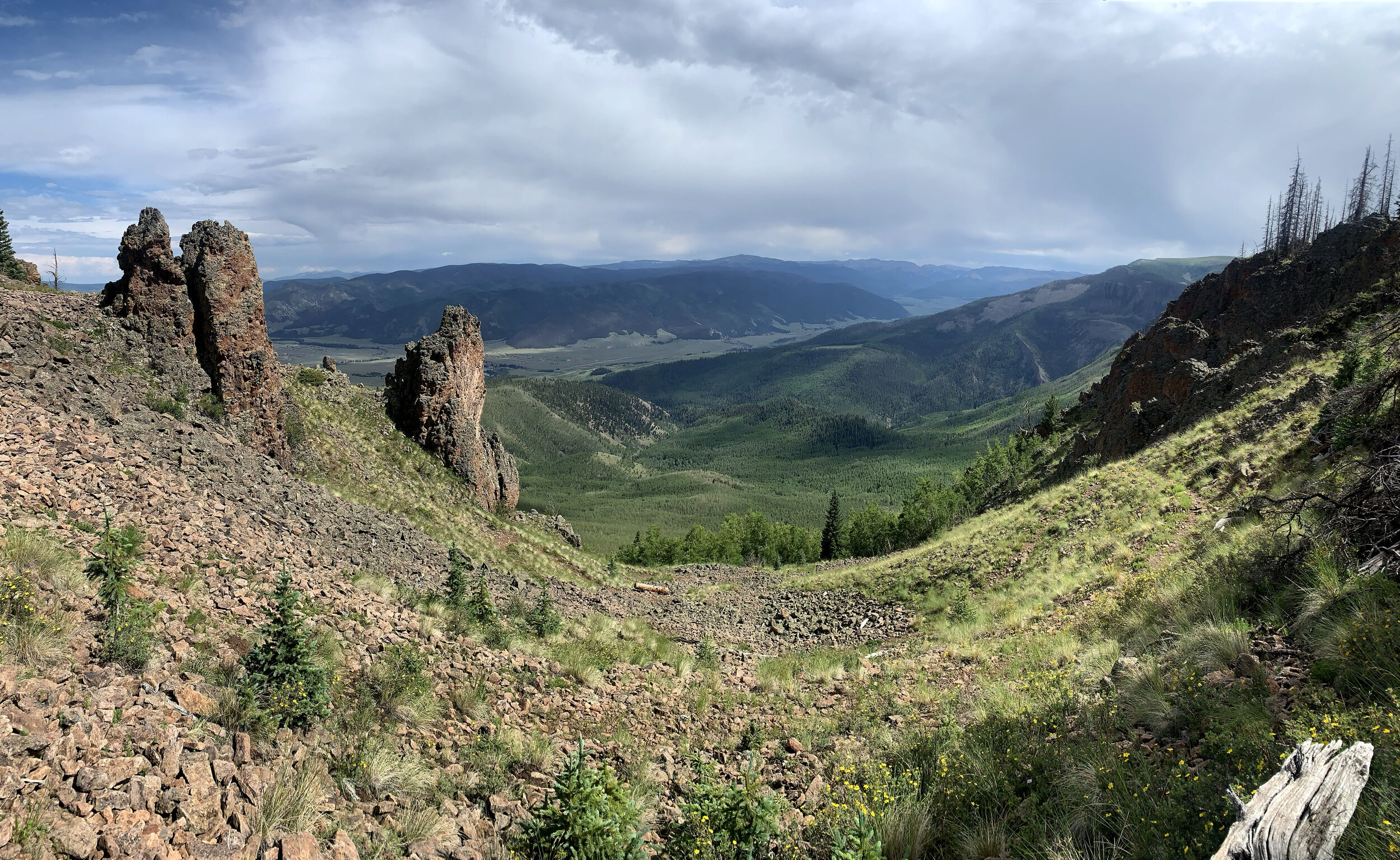
Profile
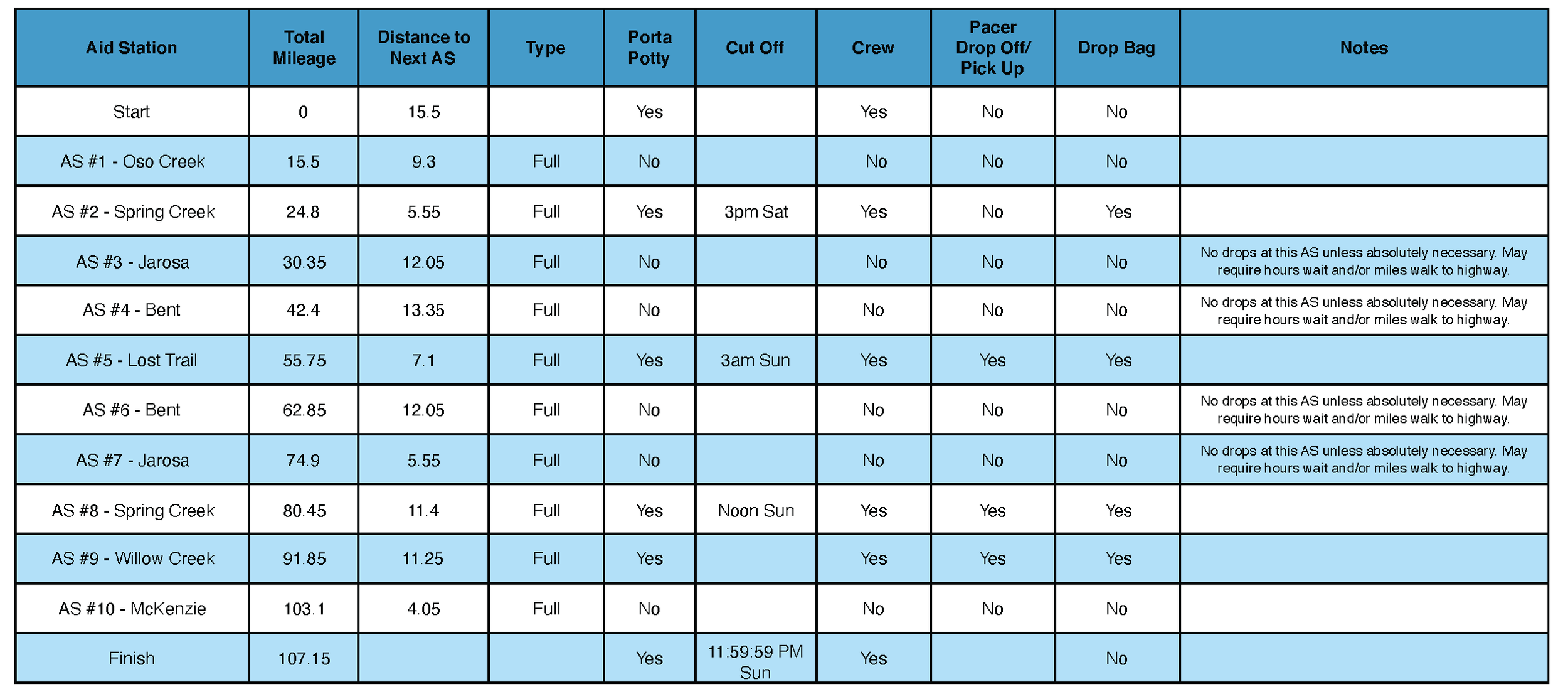
aid stations
New Cut-offs for 2026
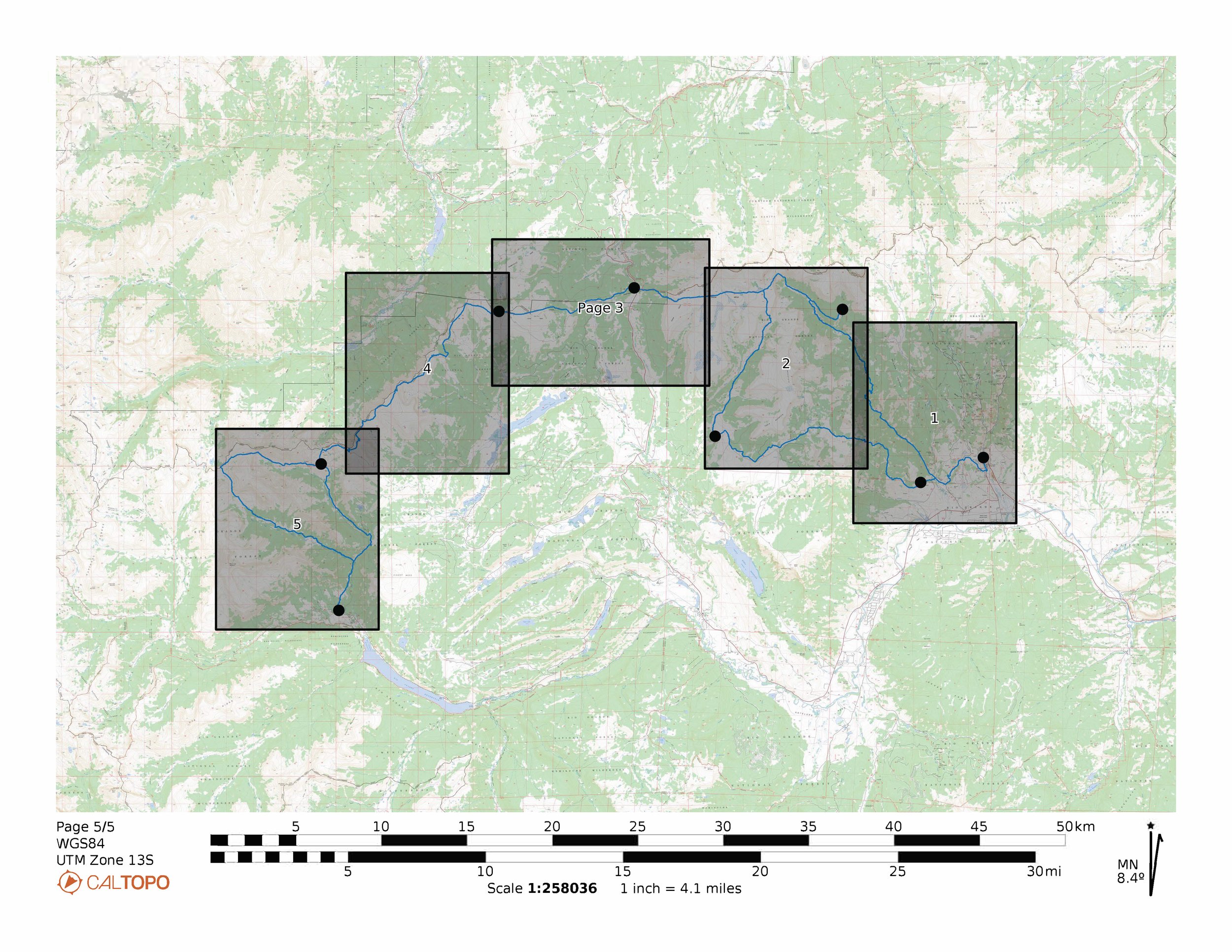
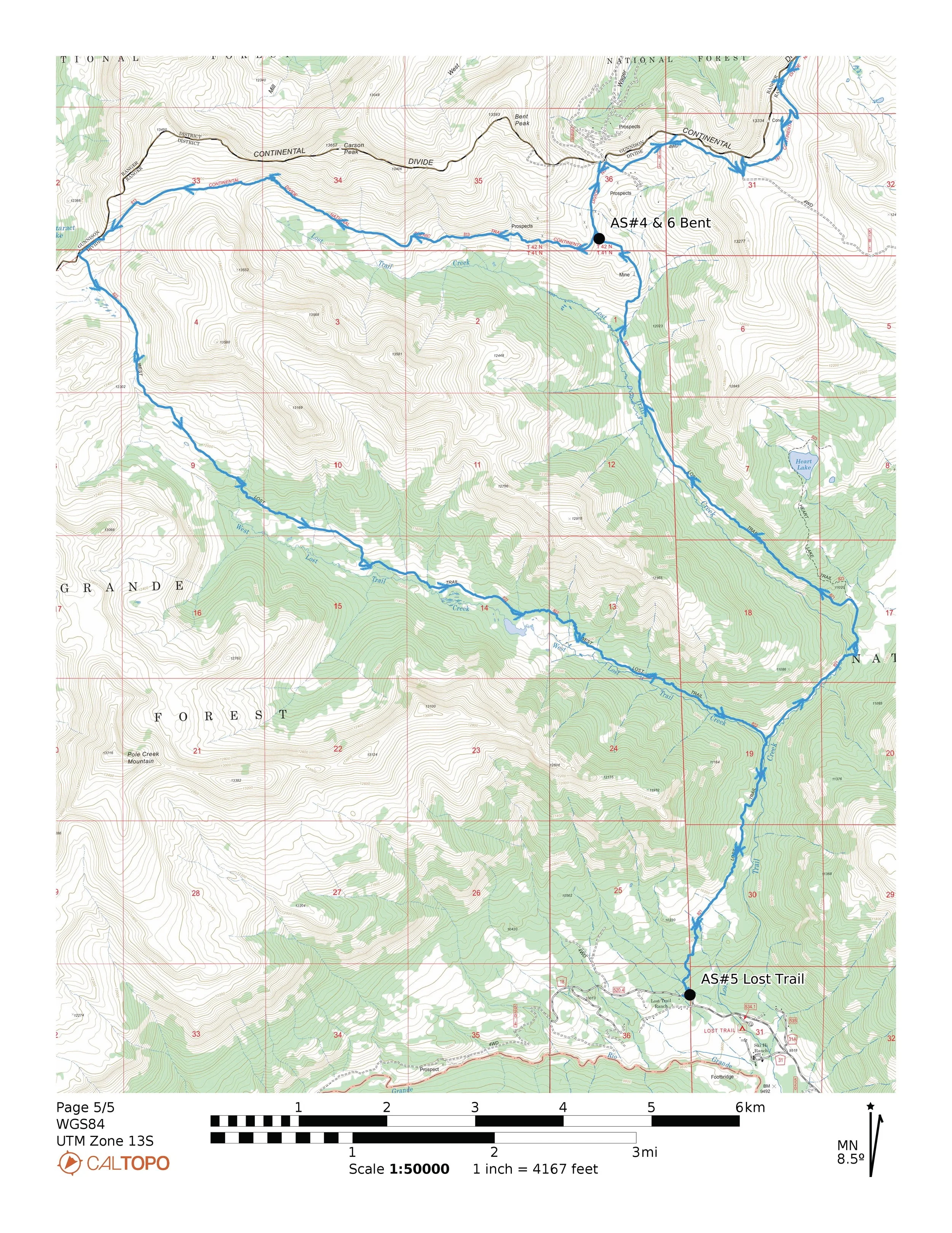
maps
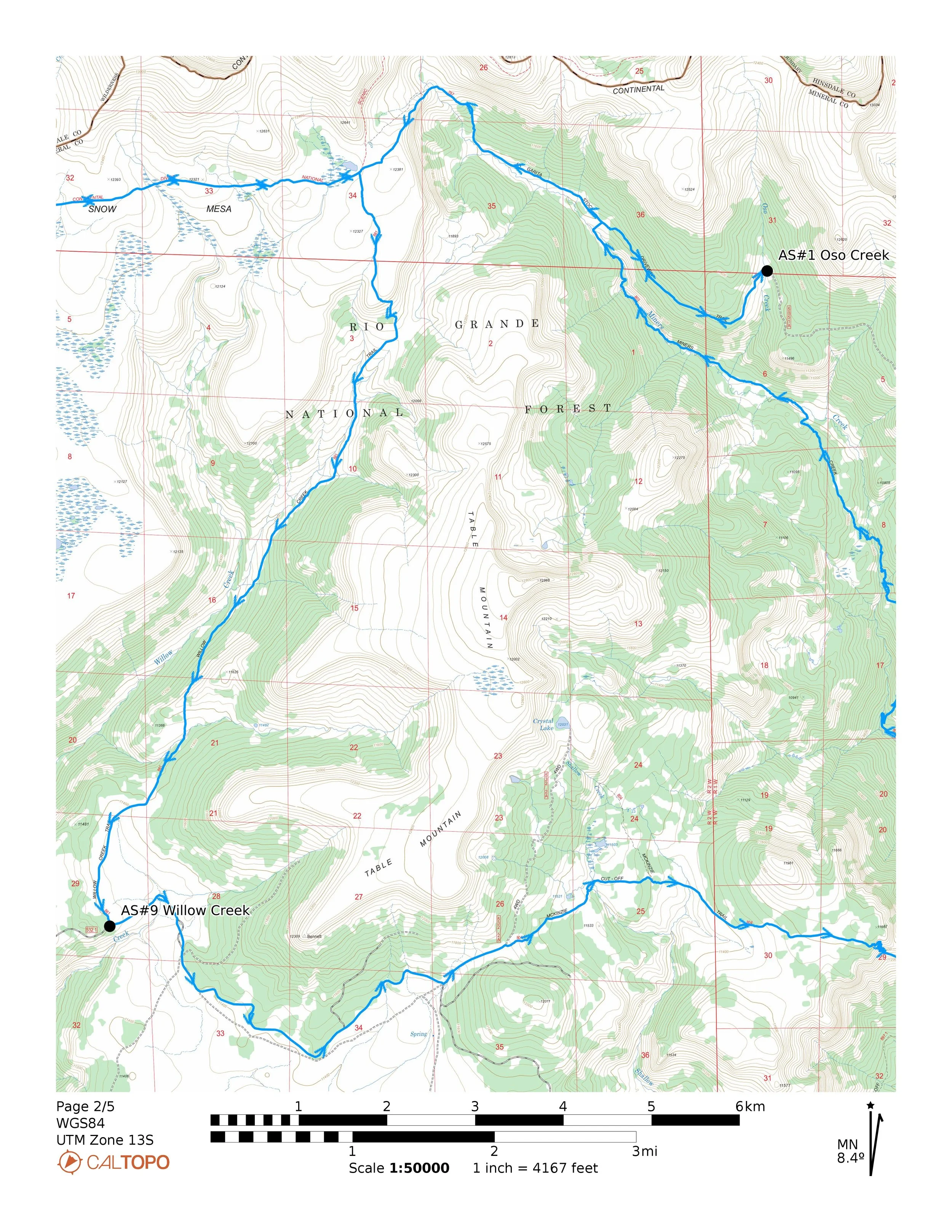


Start to AS#1 - Oso Creek (15.5 miles)
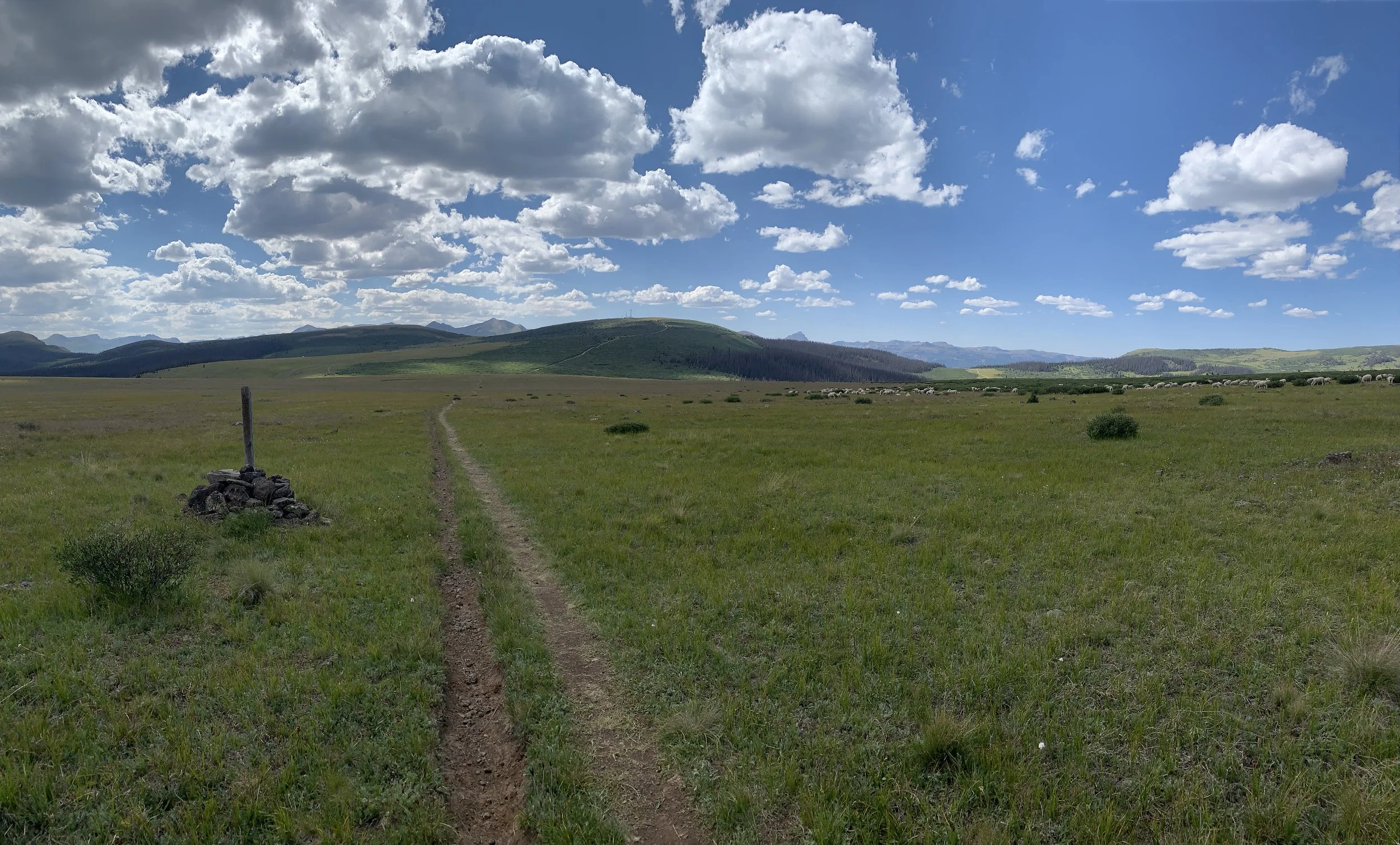
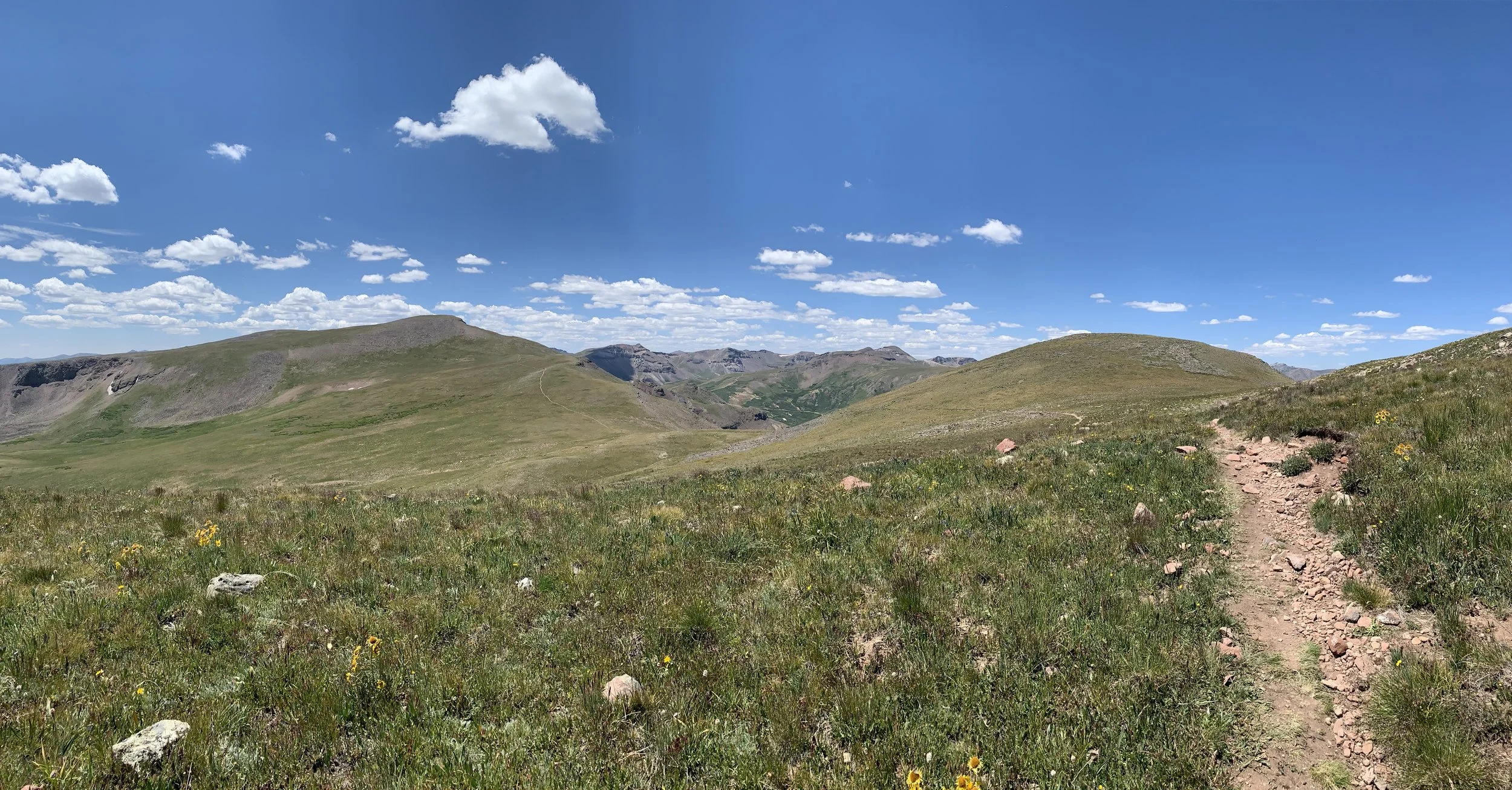
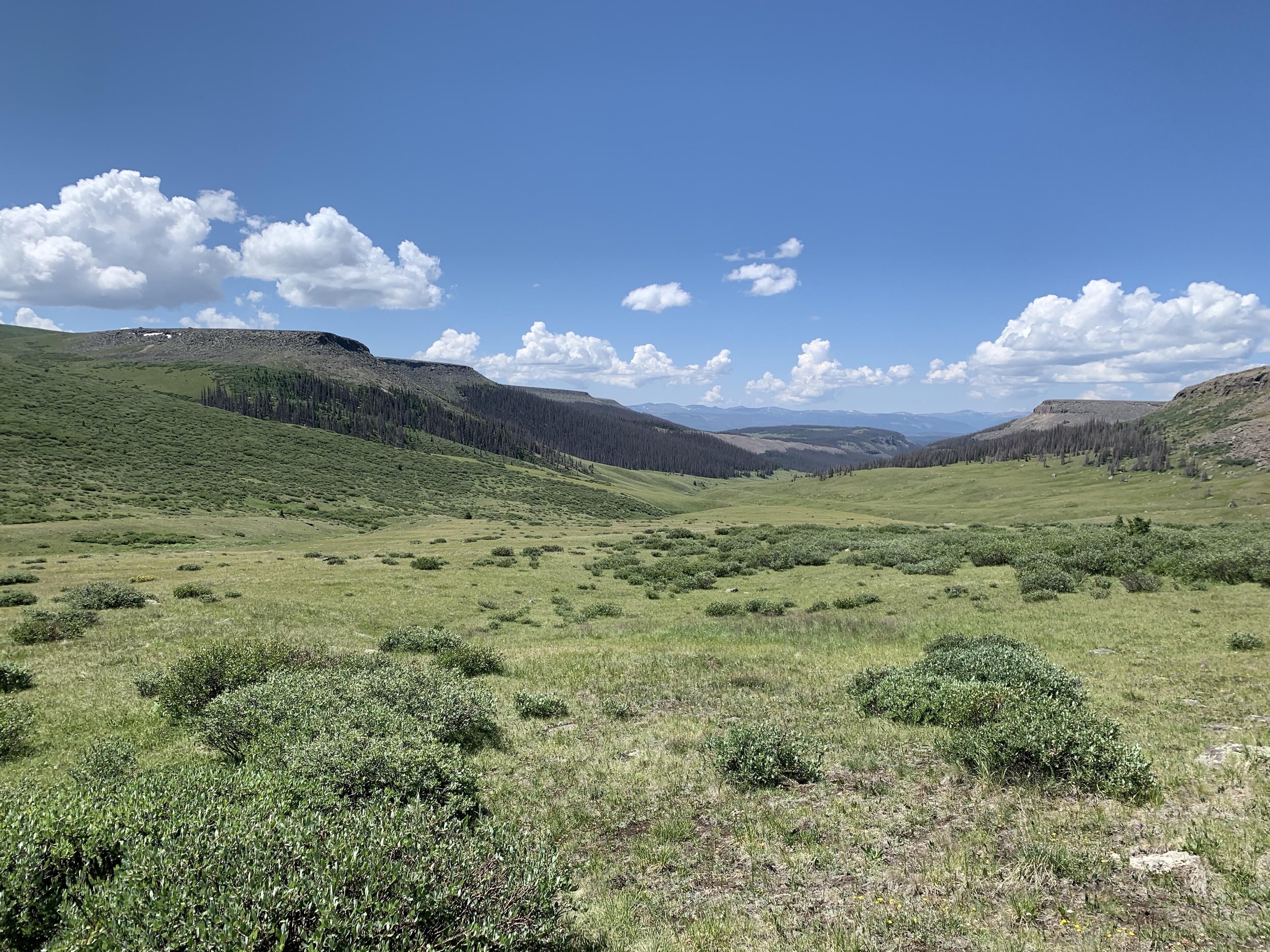
From the start in Creede, you will run south on Loma Street for .55 miles. Have a good look at civilization because this is the last time you see it before you turn this corner again in 106 miles from now! At the pavement turn hard right onto the small 2 track that cuts the corner. Follow the dirt road (FR 504 known as the Bachelor Rd) for 1.4 miles. At the Sunny Side Cut Off (FR 517), you will turn left and wind down the road for 1.4 miles. At the T turn right onto FR 507. Follow this dirt road on a gradual up hill grade for just under 2 miles to the Miner Creek TH (803). Make your way up the sweet single track for 8.75 miles. At the trail junction make sure to turn right and follow the trail for 1.5 miles to Oso Creek AS.
AS#1 - Oso Creek to AS#2 - Spring Creek (9.3 miles)
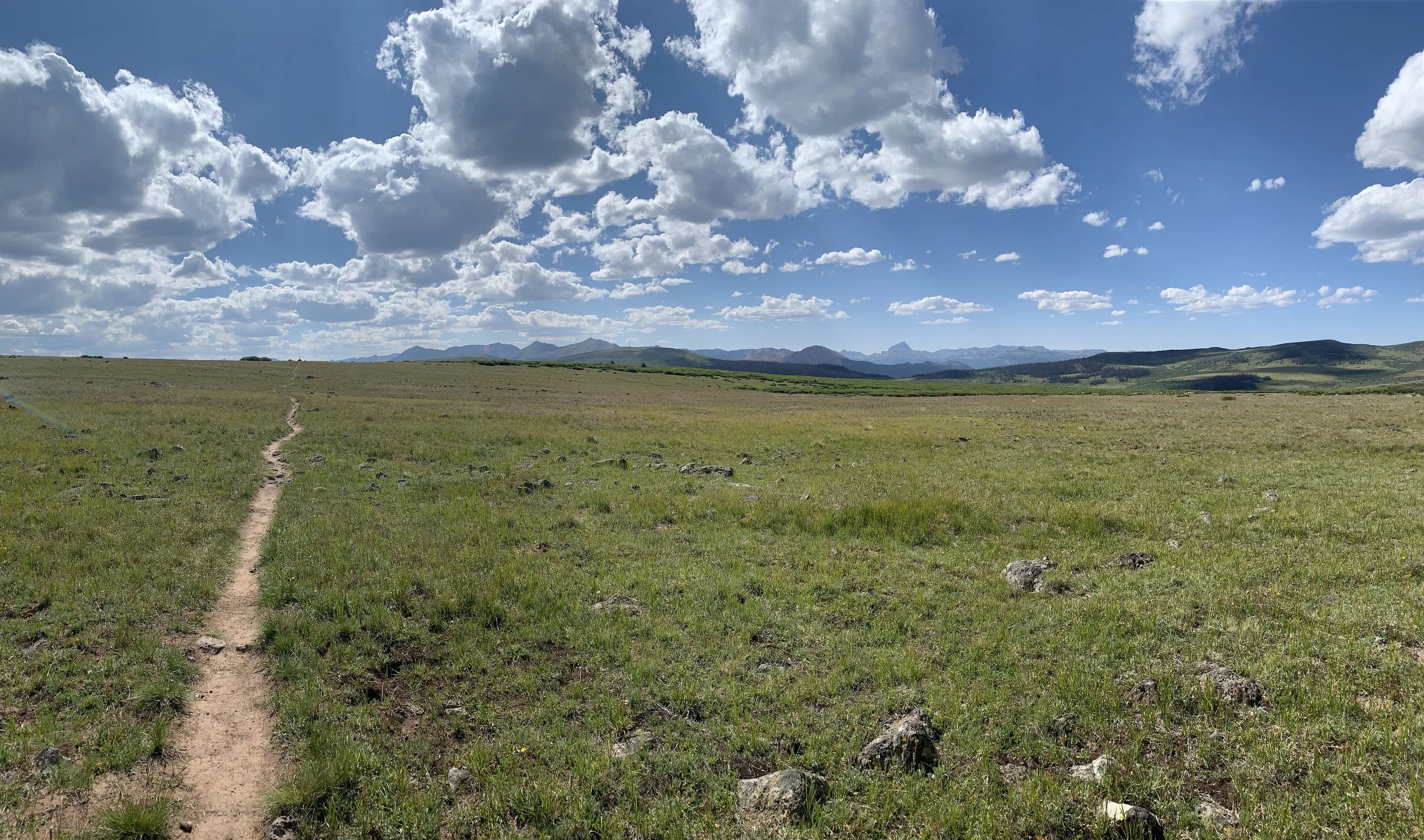
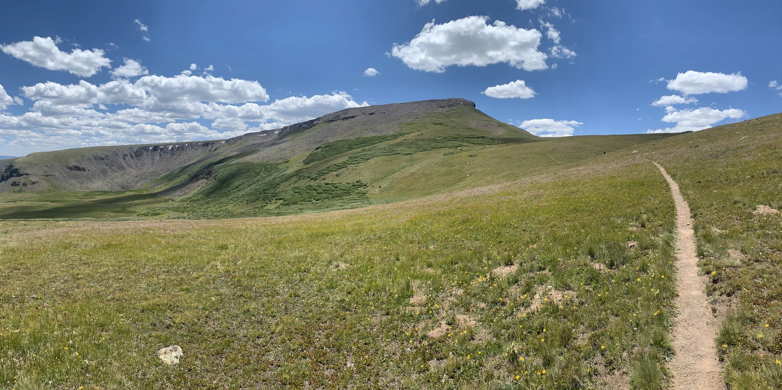
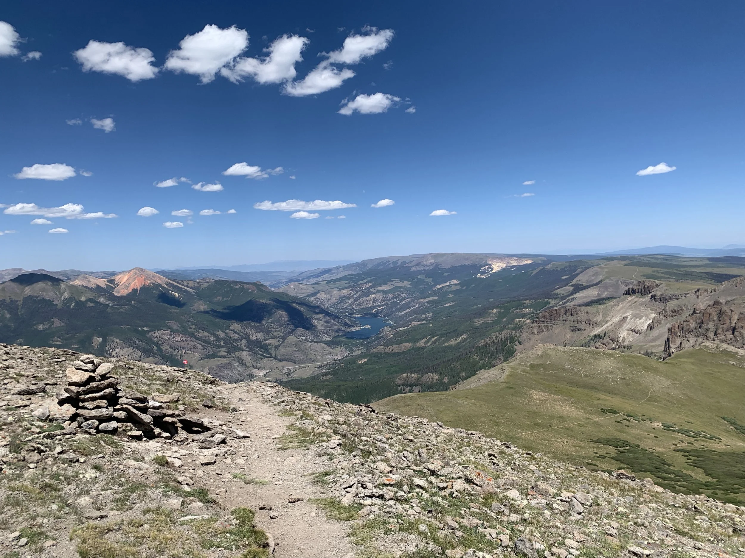
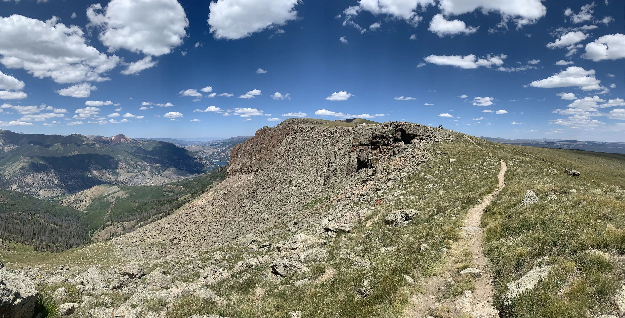
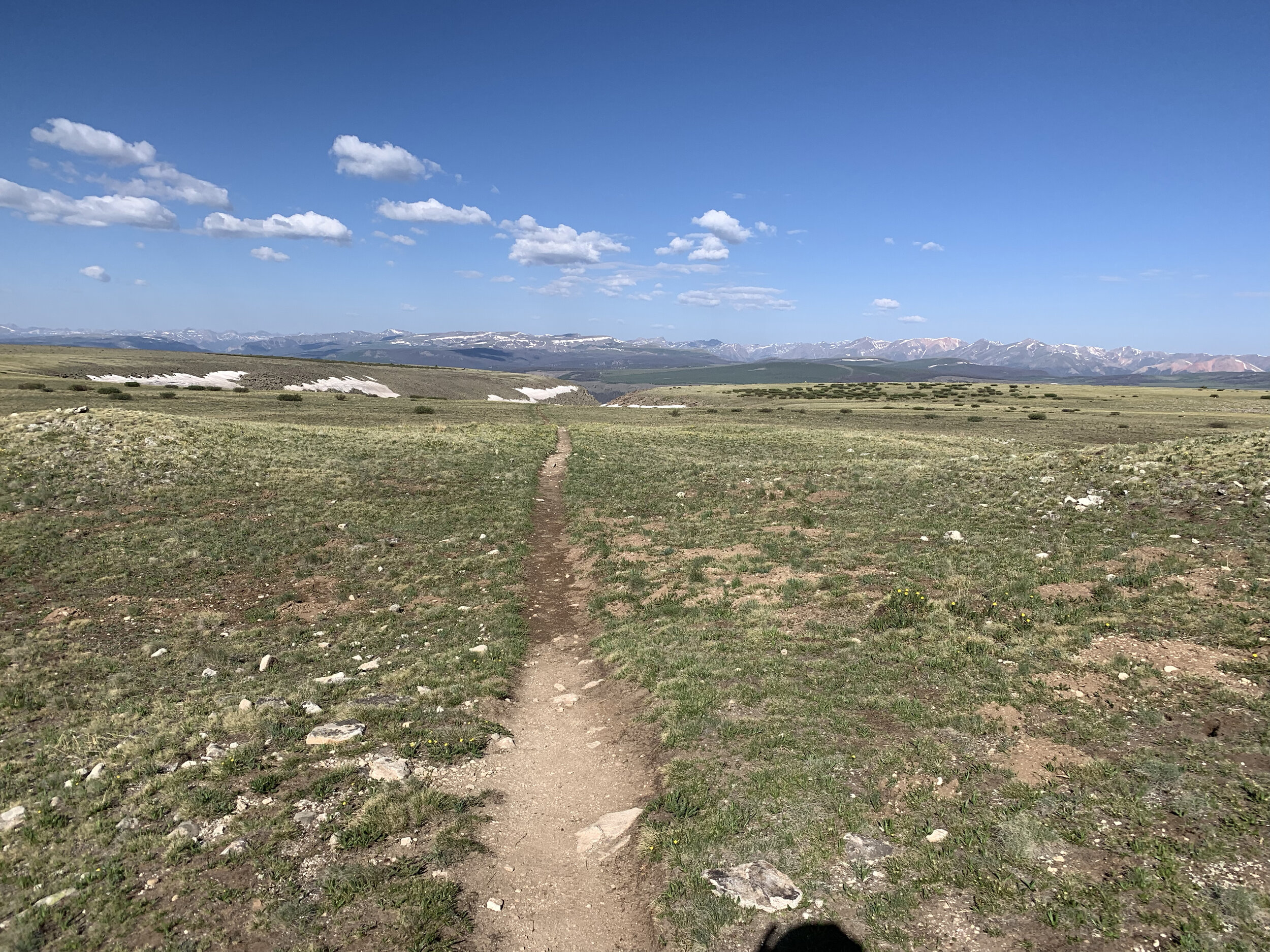
After stocking up, backtrack out of Oso Creek AS for 1.5 miles. At the junction, turn right and go uphill (do not go downhill from where you came up). Head uphill through the open park toward the bowl and in 2 miles you will emerge on Snow Mesa at just over 12,000 feet. Continue across the tundra for a little over 3 miles before dropping off into a rocky drainage. After 1/4 mile through the rocks, the forest reappears. Enjoy a nice downhill single track cruise into Spring Creek Pass AS. Carefully cross highway 149 and be welcomed by your crew and volunteers immediately on the other side.
AS#2 - Spring Creek to AS#3 - Jarosa (5.55 miles)
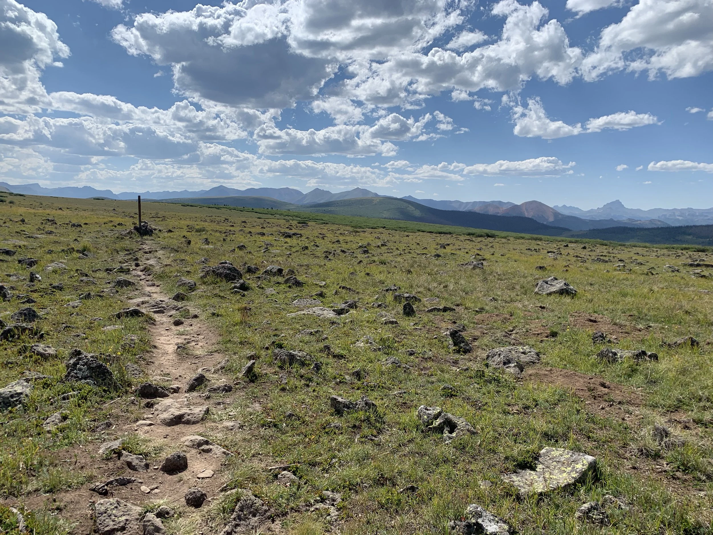
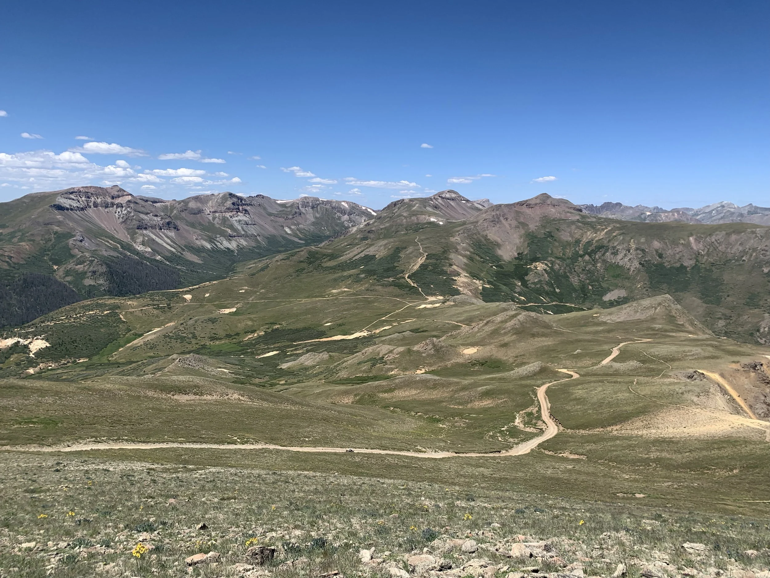
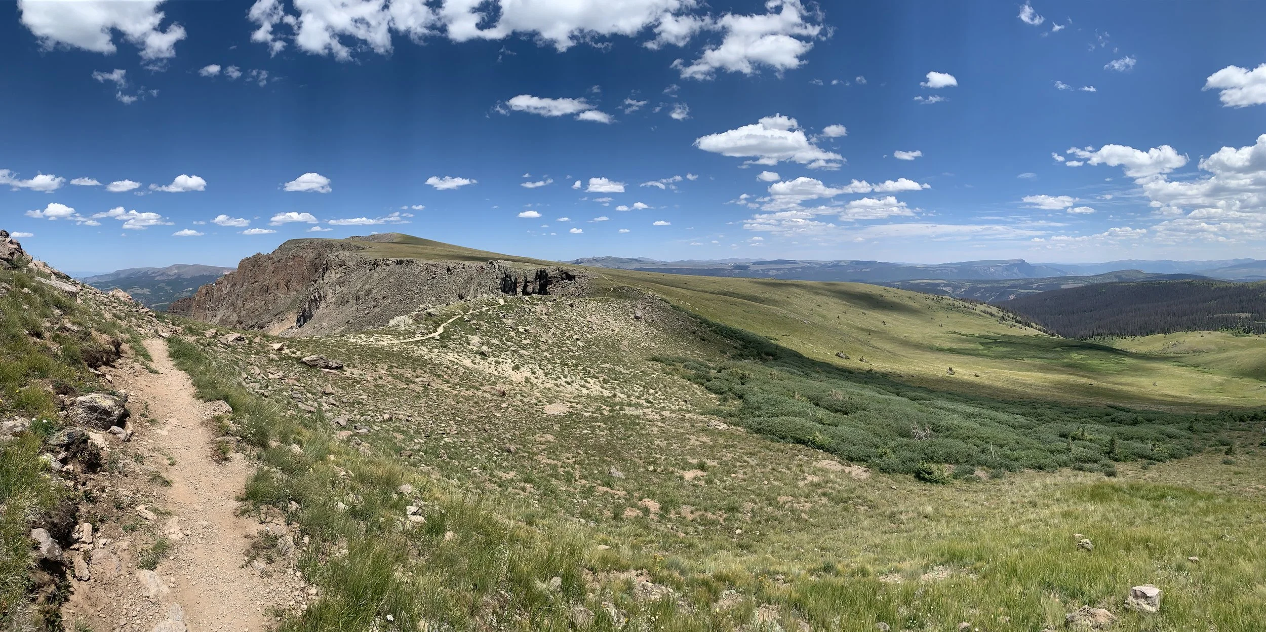
Head west out of the Spring Creek AS up the jeep trail for about 2.5 miles where you will veer right a bit onto the single track marked CDT/CT. In about 3 miles of rocky tundra single track you will arrive safely at Jarosa AS.
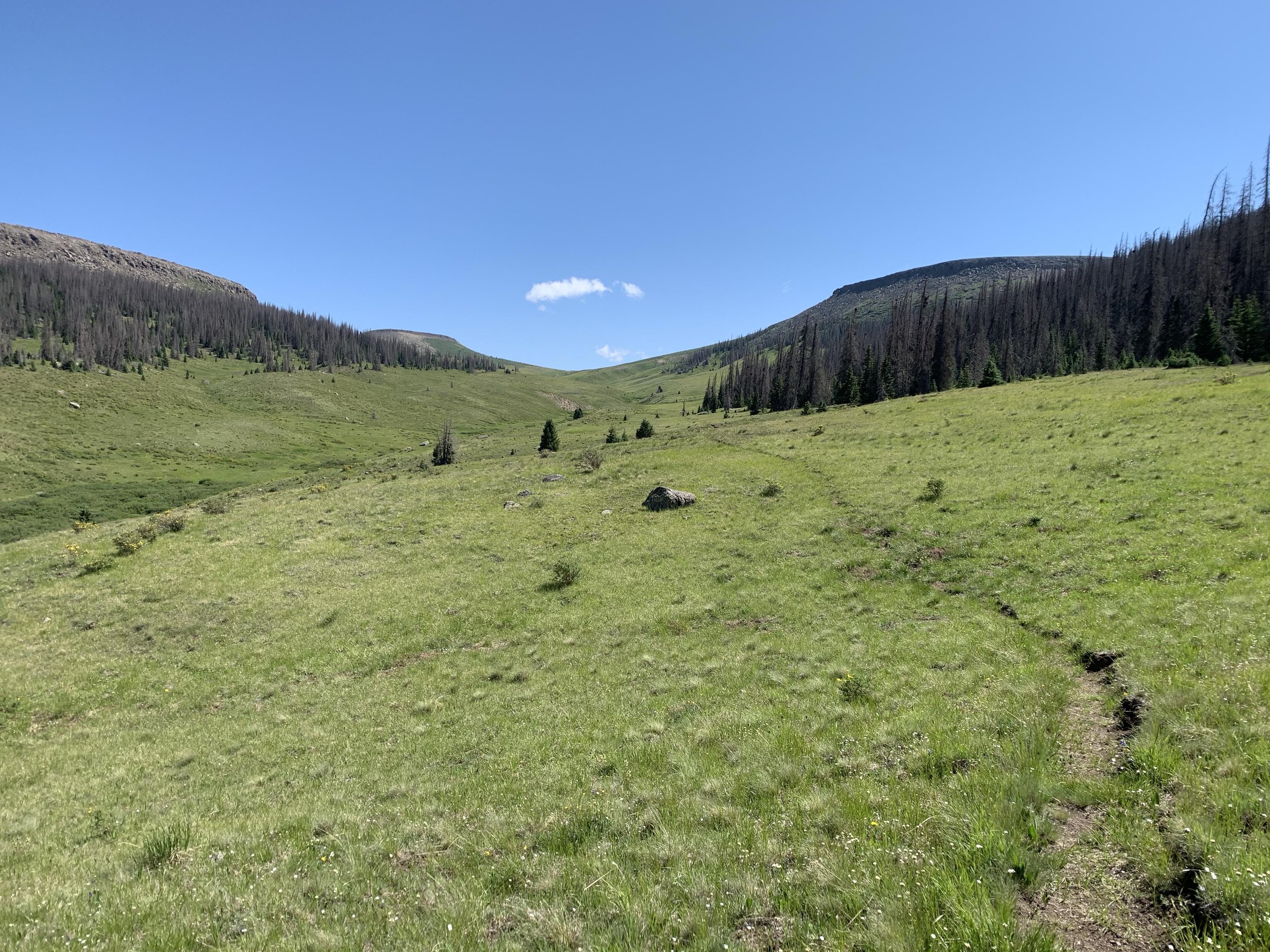
AS#3 -Jarosa to AS#4 - Bent (12.05 miles)
From Jarosa AS, run along the jeep road for a little less than 3 miles where it turns to single track trail. Follow this CDT/CT trail for a little over 7 miles where it will pop out onto a jeep road again. Turn right and travel along the road for about 1.25 miles until you reach the Bent AS down the hill. Do not make a right back onto the CDT/CT just yet. Make sure to go to the Bent AS.
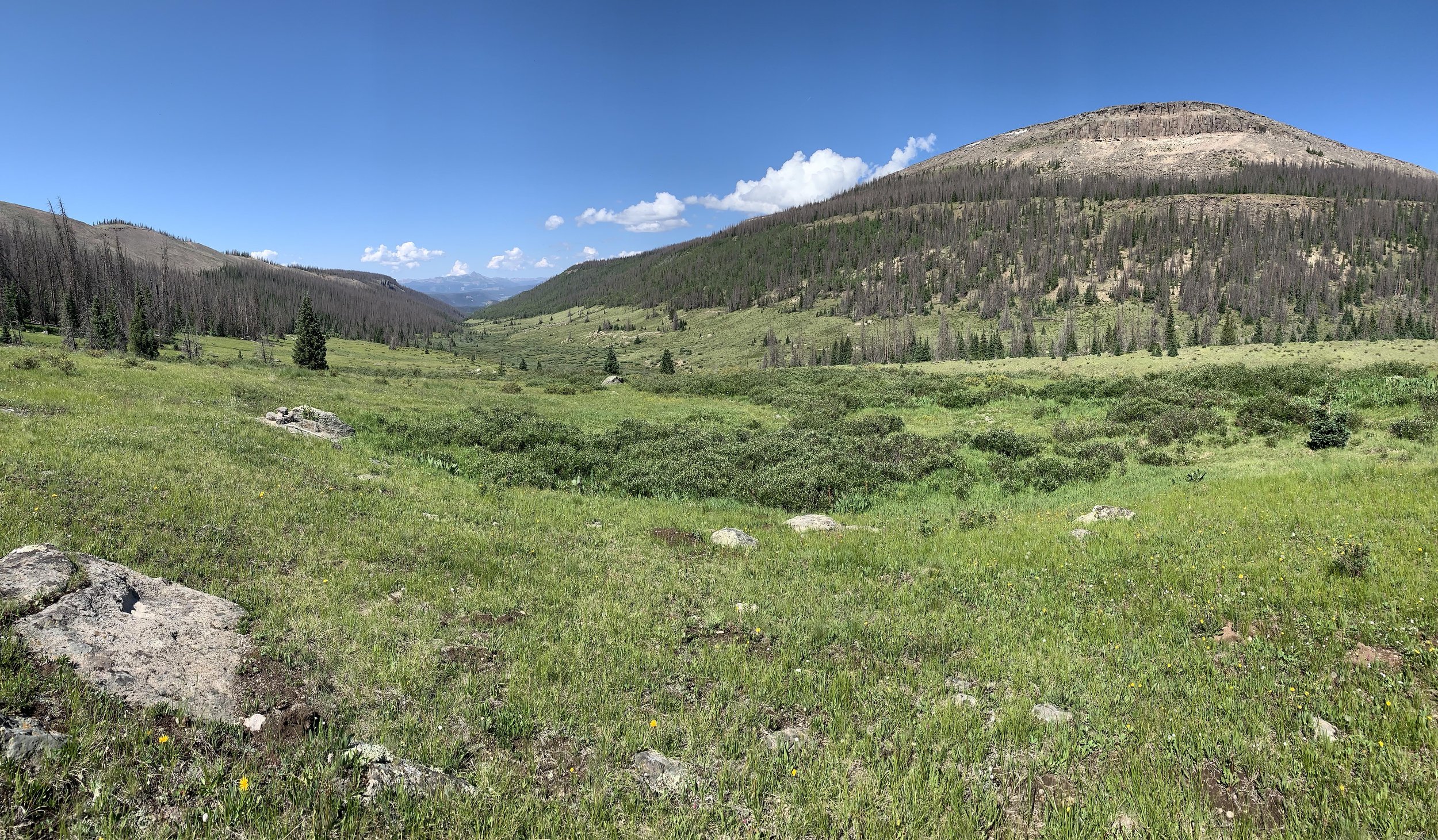
AS#4 - Bent to AS#5 - Lost Trail (13.35 miles)
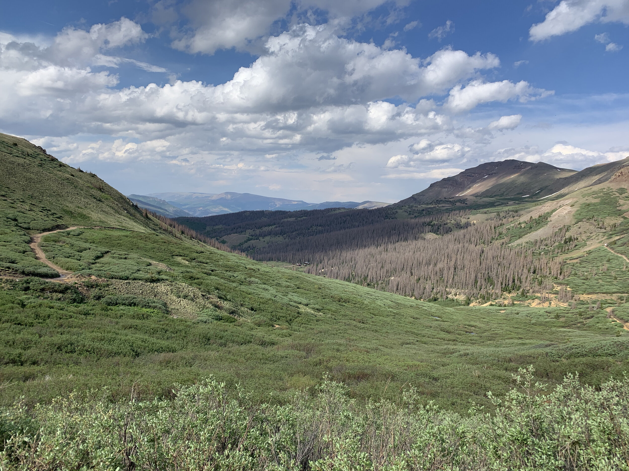
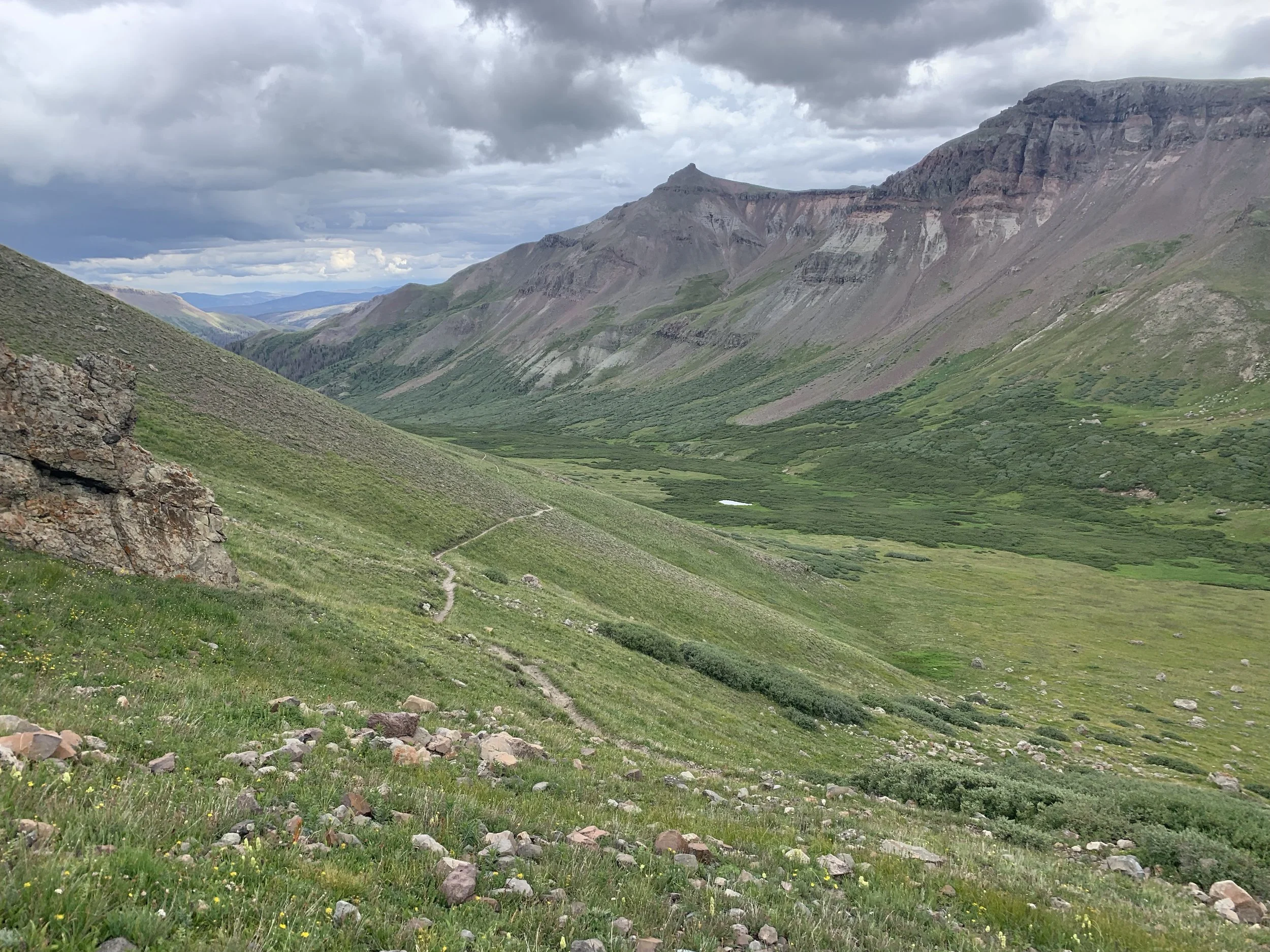
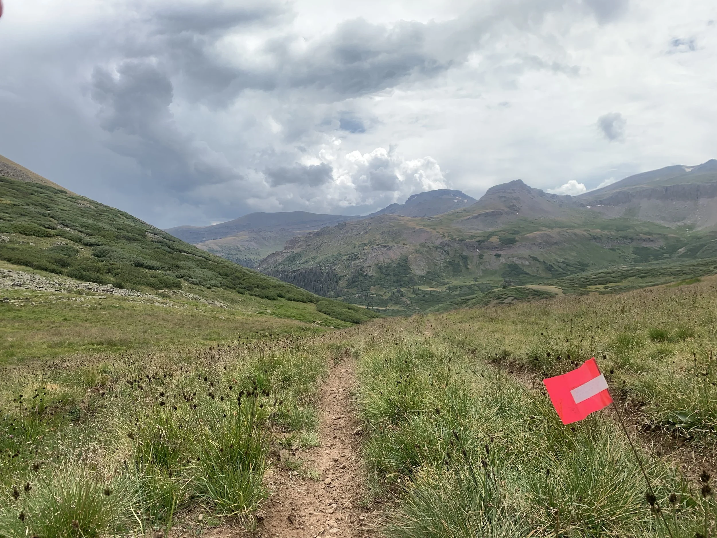
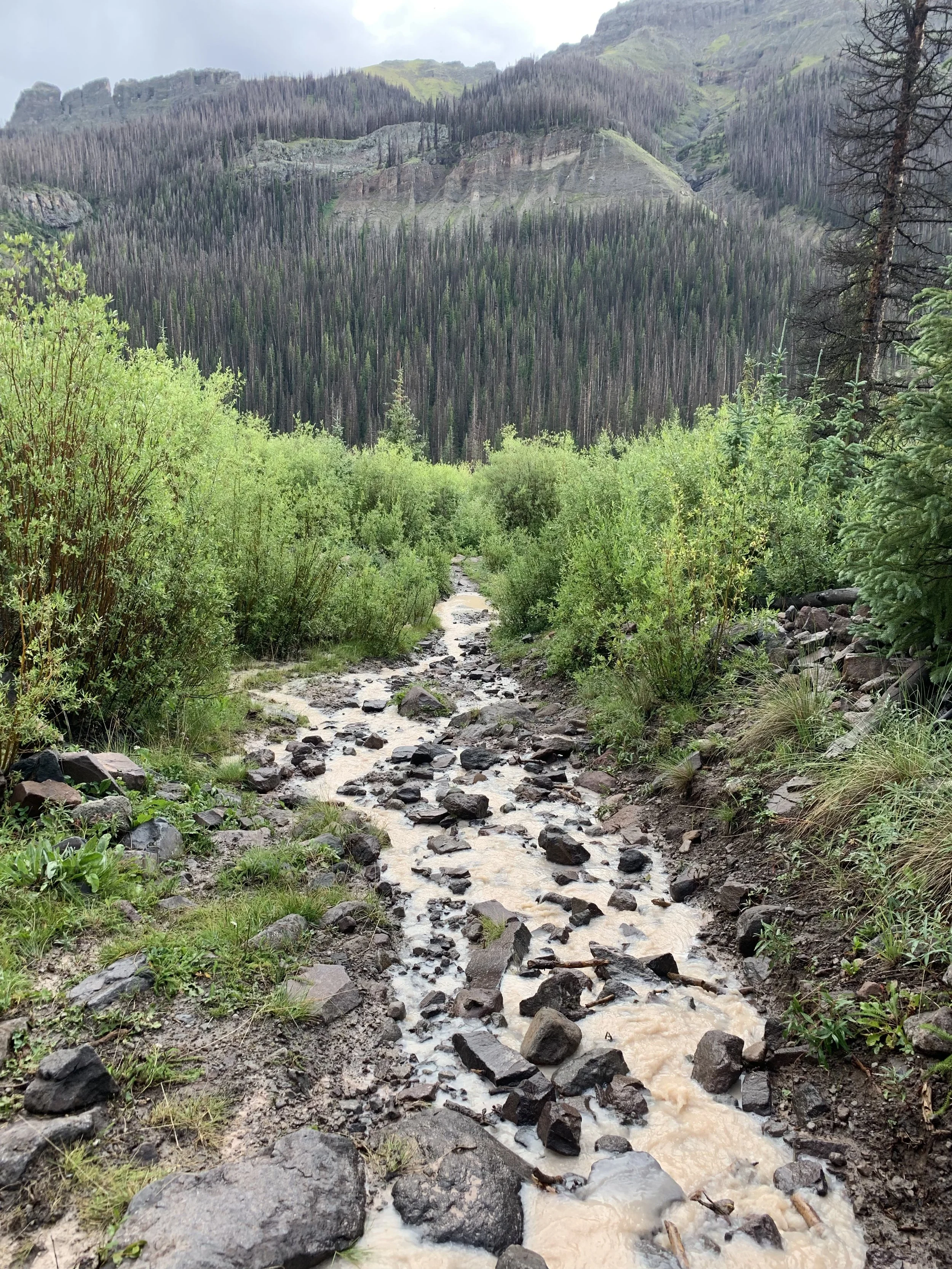
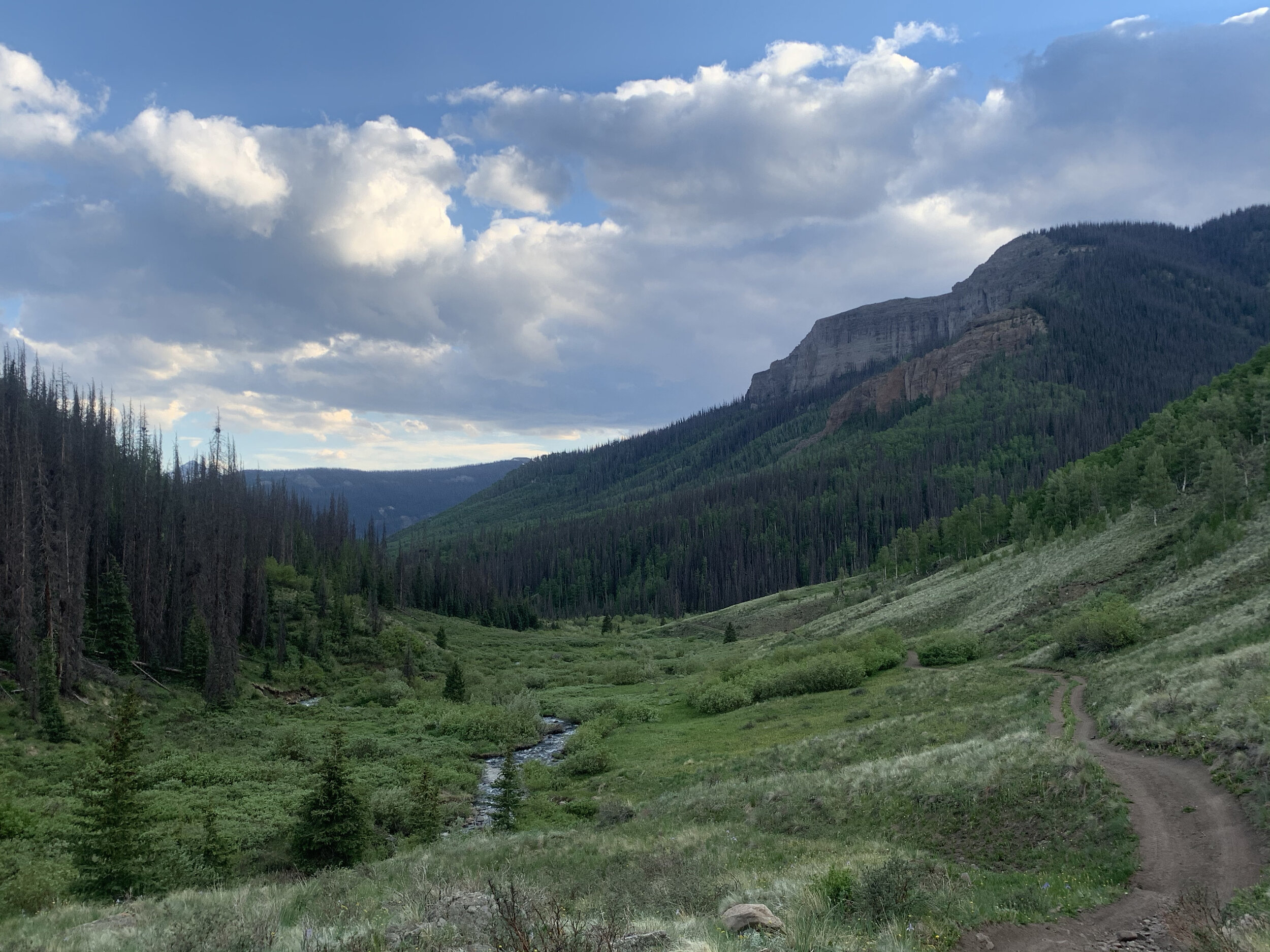
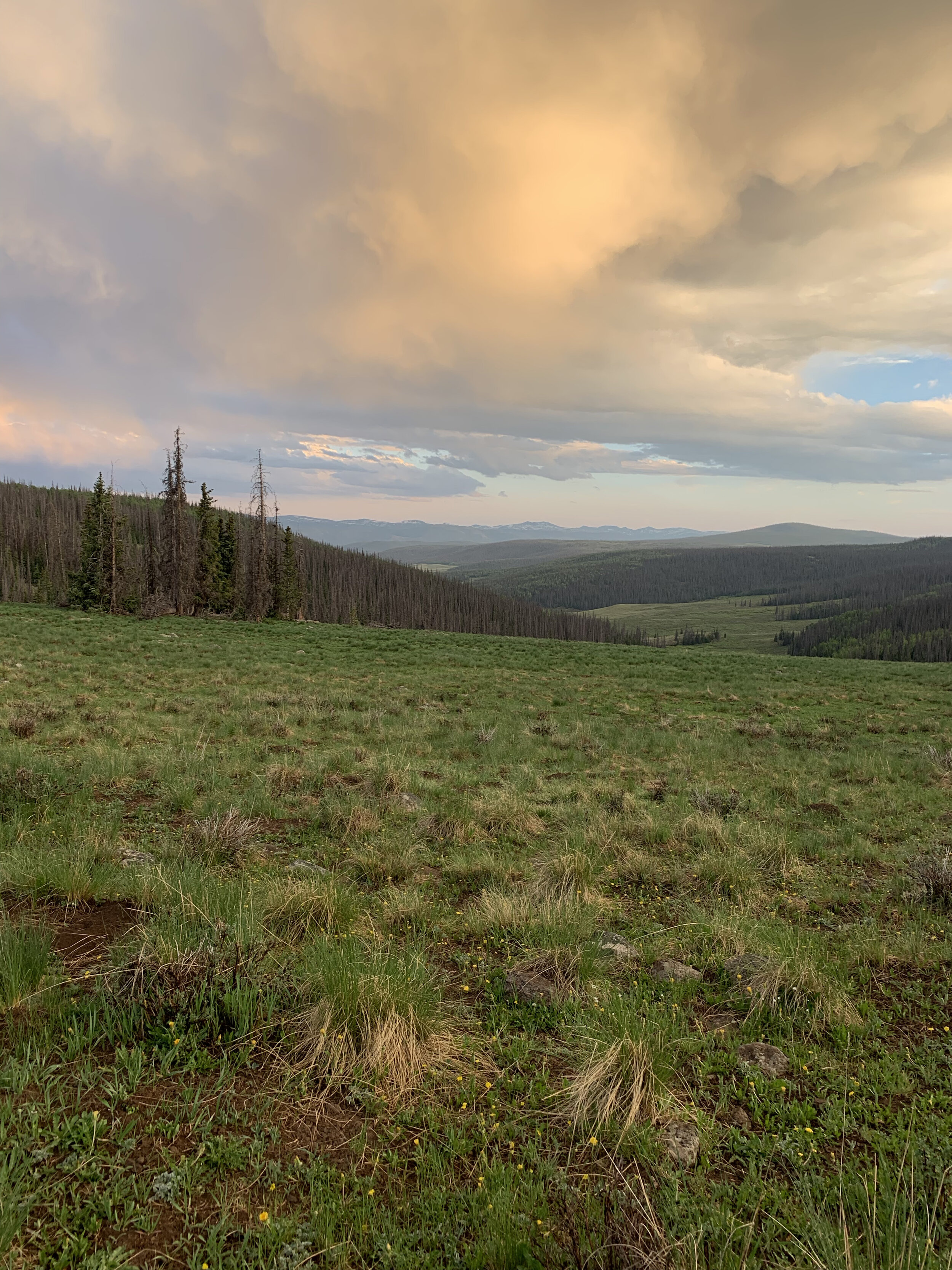
Make sure to fuel up and refill water at Bent AS because your next section is a big one! Mentally prepare yourself because for some reason this section seems to suck the life and soul out of runners. You will leave the Bent AS the same way you came in. Go about 0.1 miles where you will take a hard left back onto the CDT/CT (you passed it on your way into Bent). Once back on the single track you will enjoy beautiful views of the valley below. If it is still light, keep an eye down there for you may spot multiple moose hanging out in the willows. You will traverse about 4.15 miles where you will make a left on to West Lost Creek Trail (822). DO NOT MISS THIS TURN! Some years there are a lot of cows in the area that eat the flags, so please make a point to look for this turn. At first the trail is very faint, but we will have signs and many flags. You will stay on 822 for about 7 miles. Some years it can be very muddy and wet. Keep an eye out for moose on this trail. You will come to a “T” intersection where you will make a right onto Lost Trail (821) and immediately cross descent sized stream. Follow this for a little over 2 miles until you reach the Lost Trail AS. At this aid station you will want to take a hard and serious look at how you handled the altitude on the way there. Please DO NOT continue and go back up if you are experiencing AMS. It is very serious!
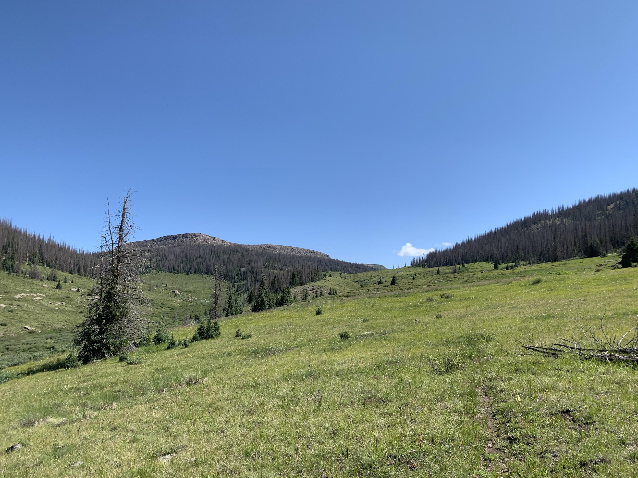
AS#5 - Lost Trail to AS#6 - Bent (7.1 miles)
Pick up your pacer if you have one and leave Lost Trail AS the same way you came in. You will go the little over 2 miles and cross the same stream as before, but continue straight on Lost Trail (821). Do not turn left onto (822) the way you came down. Just pay attention to the signs and you’ll be good. You will climb about 5 miles up a different valley until you hit the Bent AS for the second time. Sorry for the hill at the end - you’ll see what we mean!
AS#6 - Bent to AS#7 - Jarosa (12.05 miles)
Head east out of the Bent AS on the jeep road for 1.25 miles You will then go left onto the CDT/CT single track for a little over 7 miles before the trail will turn to jeep road again. Stay on this jeep road for 3 miles until you come to the Jarosa AS.
AS#7 - Jarosa to AS#8 - Spring Creek (5.55 miles)
From Jarosa AS you will continue east on the rocky single track for about 3 miles where trail will then turn into jeep road. You want to stay left and continue on jeep road for about 2.5 miles until you arrive at the Spring Creek AS for the second time.
AS#8 - Spring Creek to AS#9 - Willow Creek (11.4 miles)
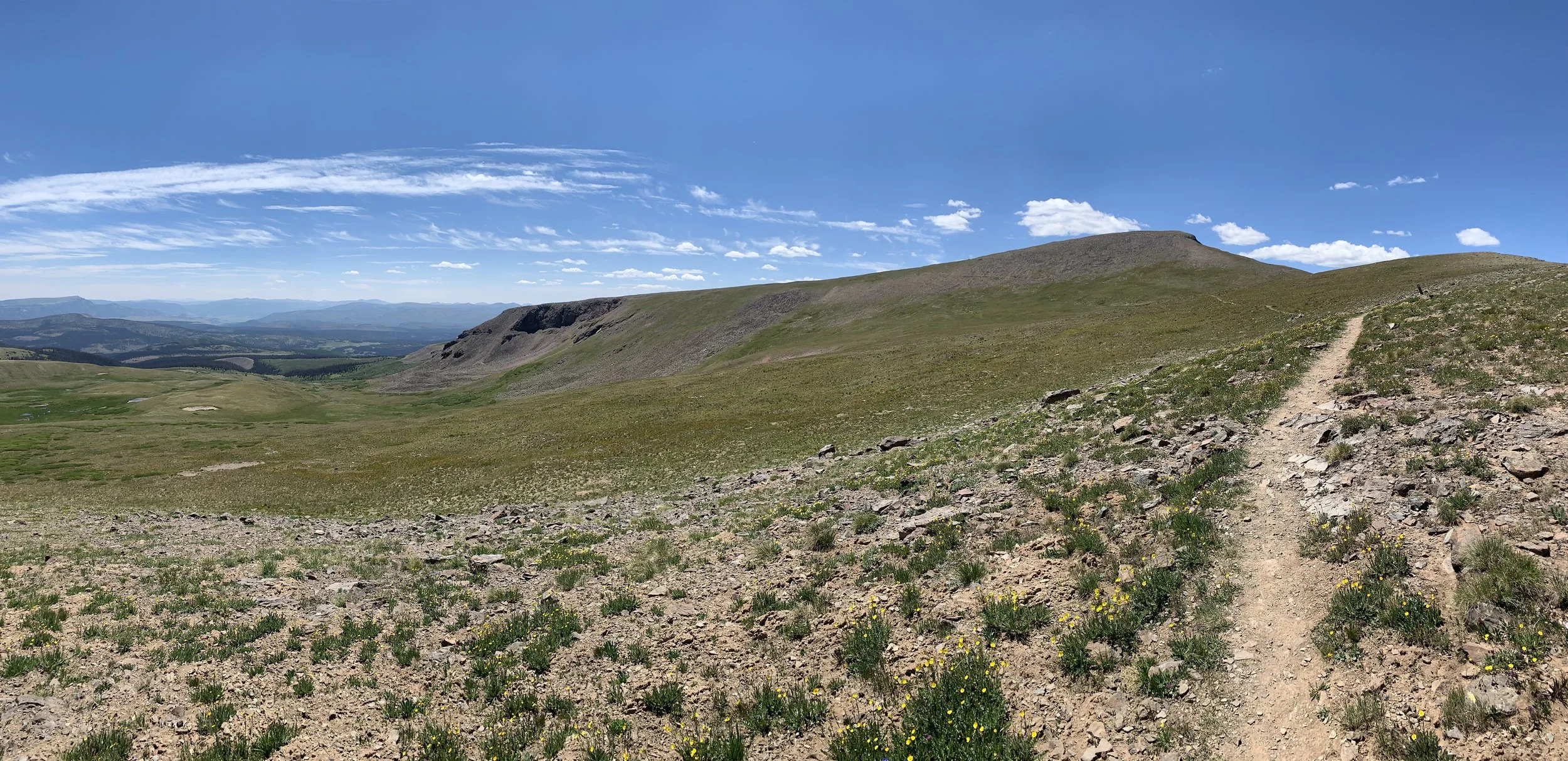
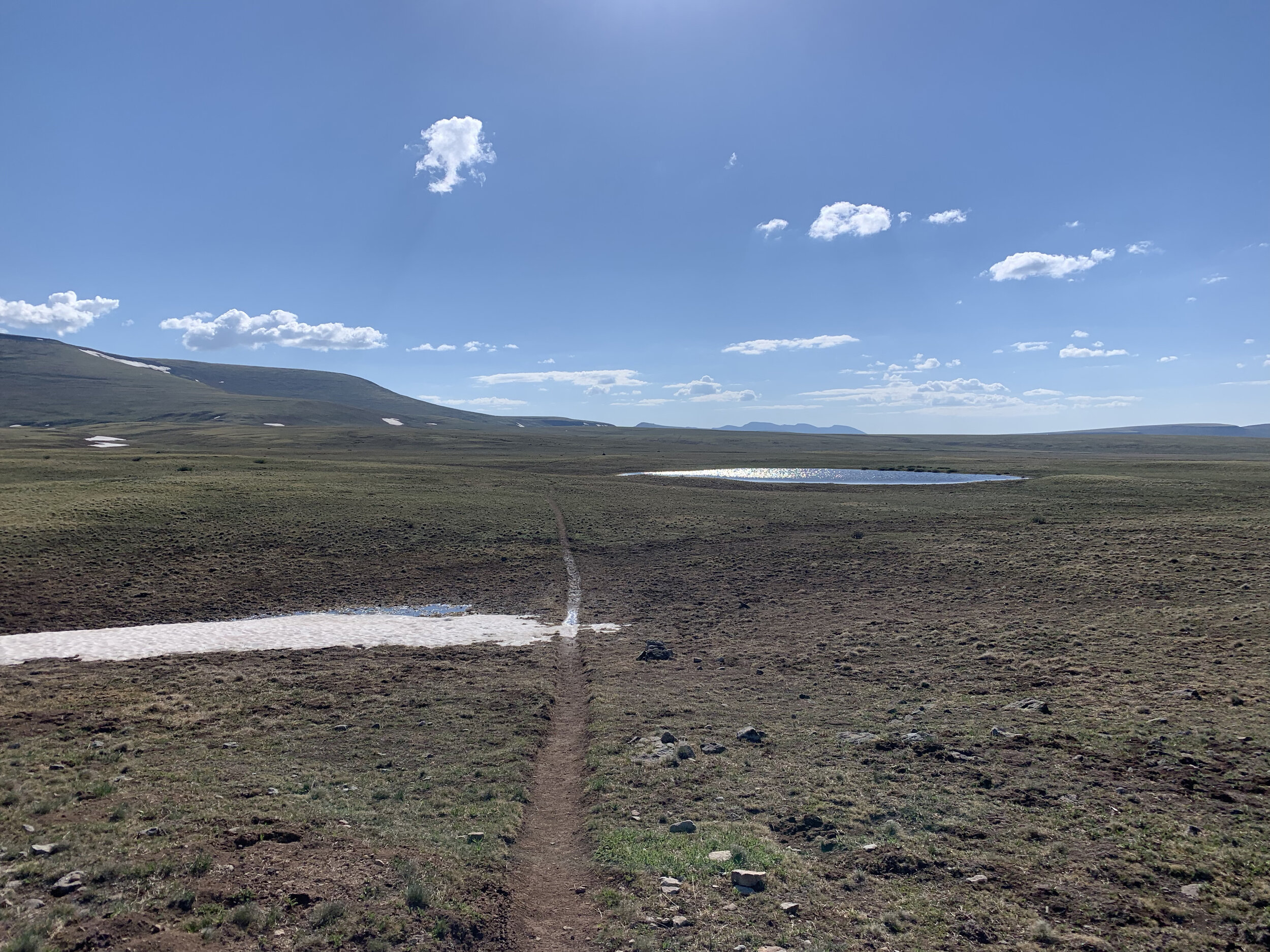
Carefully cross highway 149 and follow the CDT/CT single track uphill for 1 3/4 miles where you you will pop out on Snow Mesa. Follow the amazing single track for another 3 1/4 miles for a total of 5 miles since leaving the aid station. There will be a small lake on your left - this is where you take a 90 degree right turn and head south across Snow Mesa for 1 mile on Willow Creek Trail (881). The trail is NOT well defined so just follow the markers. You will then drop off into the Willow Creek drainage. Again, the trail is not visible so follow the markers across the grassy tundra. Continue down the drainage until you cross Willow Creek. You will climb up a small rock slide then over a couple rolling hills and across a large grass meadow before reaching the Willow Creek AS.
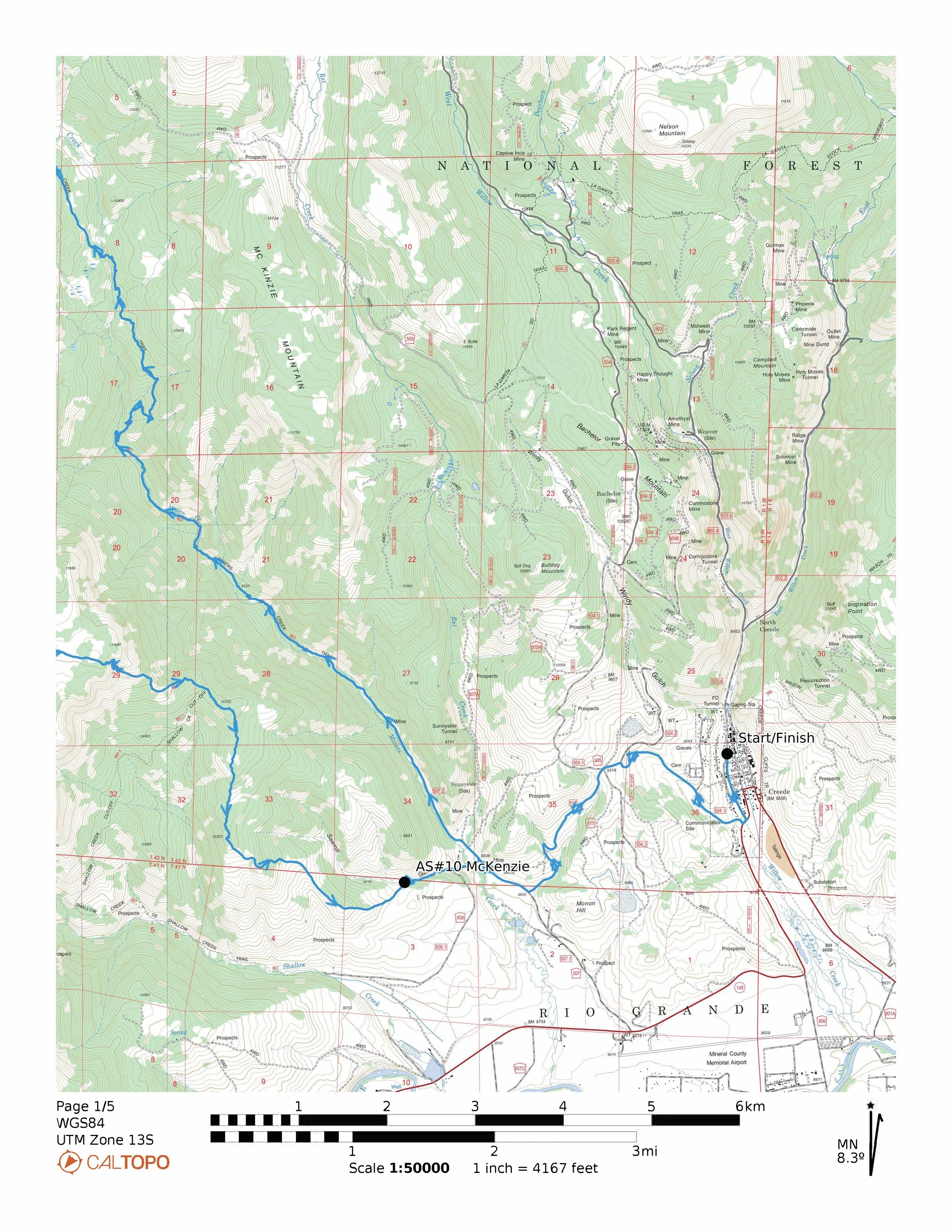
AS#9 - Willow Creek to AS#10 - McKenzie (11.2 miles)
Follow the 2 track out from the AS for 100 yards or so to the Bristol Head Road 532. Turn left and follow the road for about 3 1/2 miles where you will turn left and go up hill on FR 532 2A. After a 1/2 mile turn right onto the Mackenzie Cut Off Trial (804.1). In a little over a mile stay right on Mackenzie Trail (804) and following it down through a valley. Again, the trail looks nonexistent, so follow the flags. You will climb up out of the valley and then go down some rocky switch backs. The trail eventually turns in to a two track jeep road. Follow the road down until reaching the Mackenzie AS for a total of about 11.2 miles.
AS#10 - McKenzie to Finish (4.05 miles)
Continue down the jeep road for 1/2 mile until you come to a main dirt road (Miners Creek Road FR 507). Turn right and go about 1/2 mile, then turn left up Sunny Side Cut Off (FR517). Follow it up for about 1.4 miles until you reach the Bachelor Loop Road (FR 504). Turn right and head downhill for about about 1.4 miles. When you get to the paved road, take the two track short cut on the left and go left down Loma street for .55 miles to the finish.