
Course Details
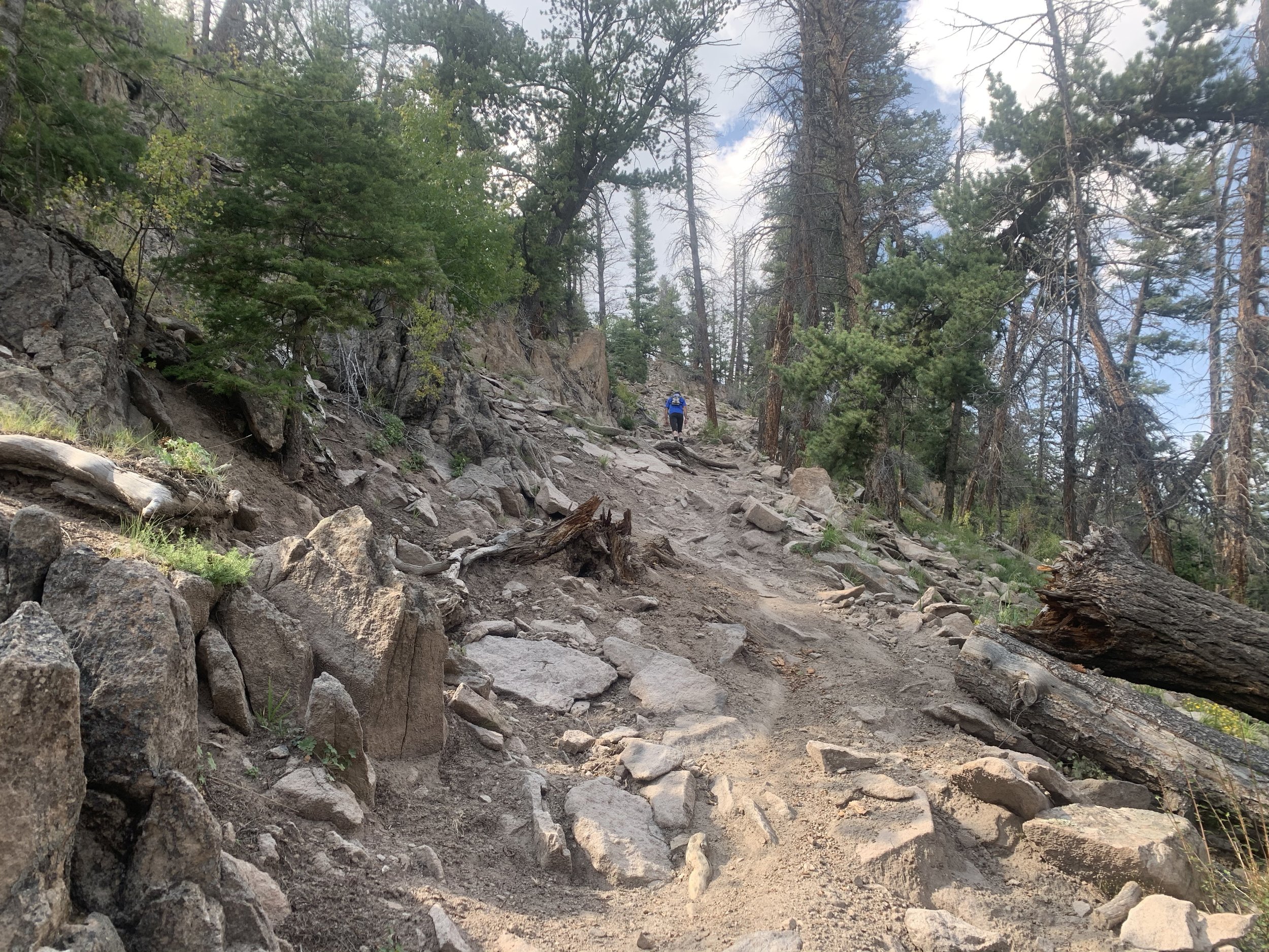
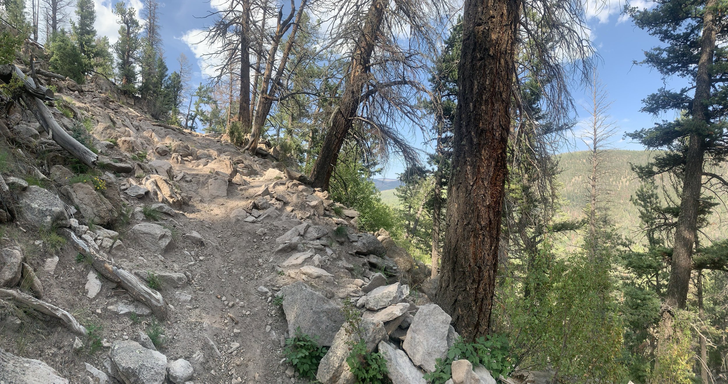
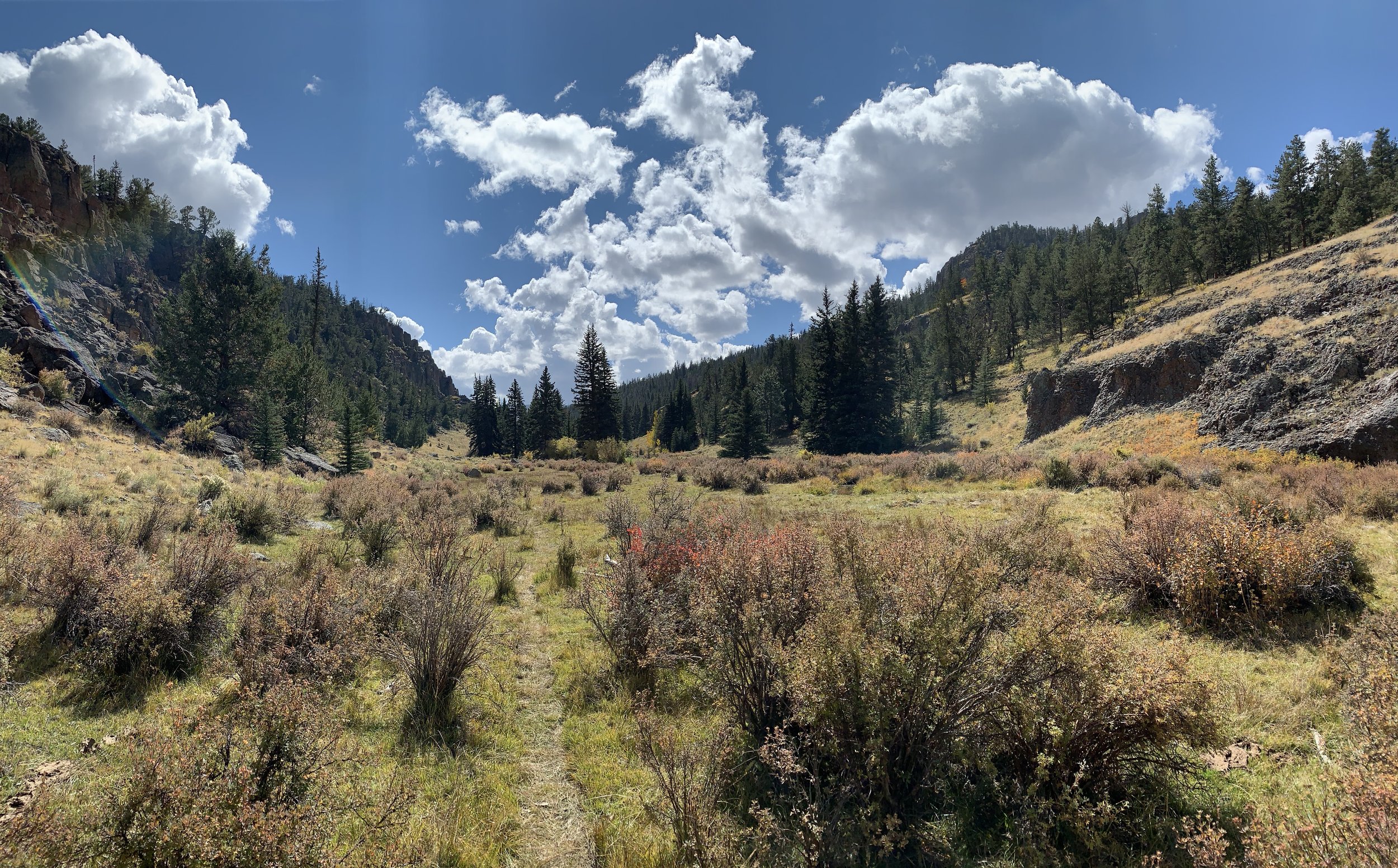
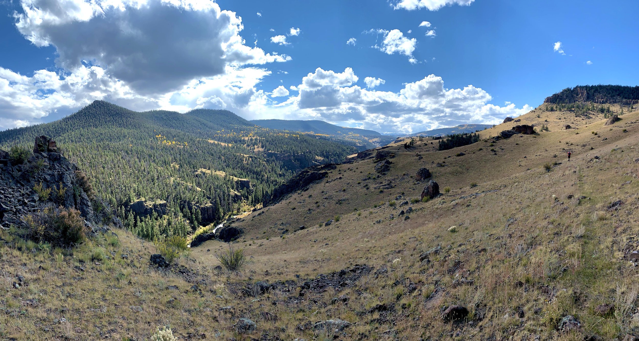
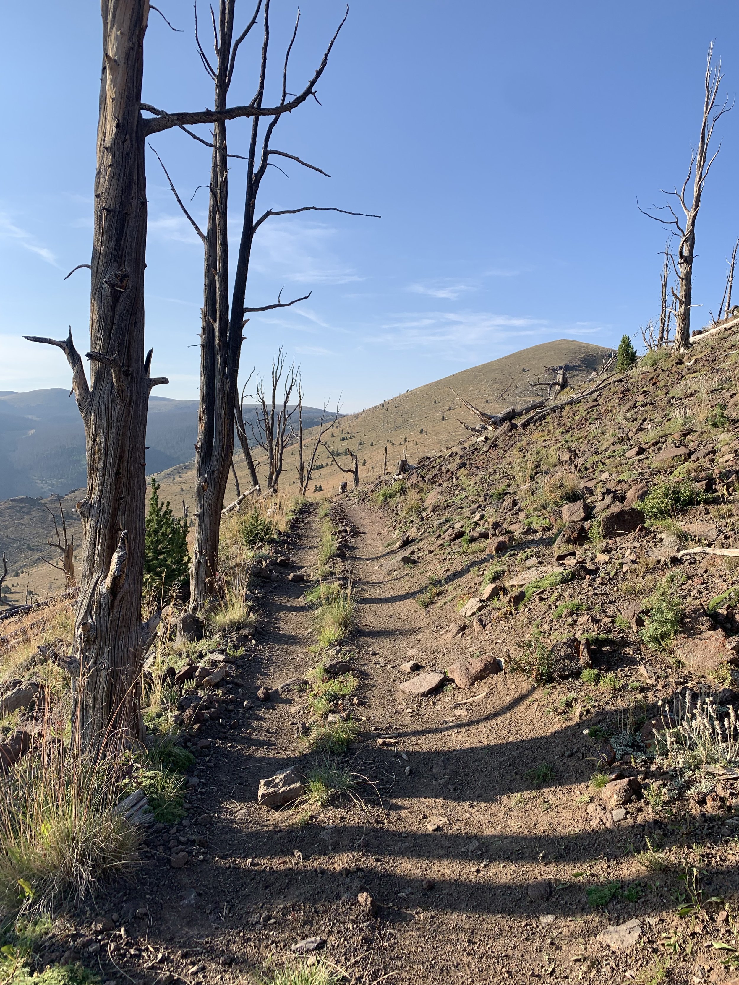
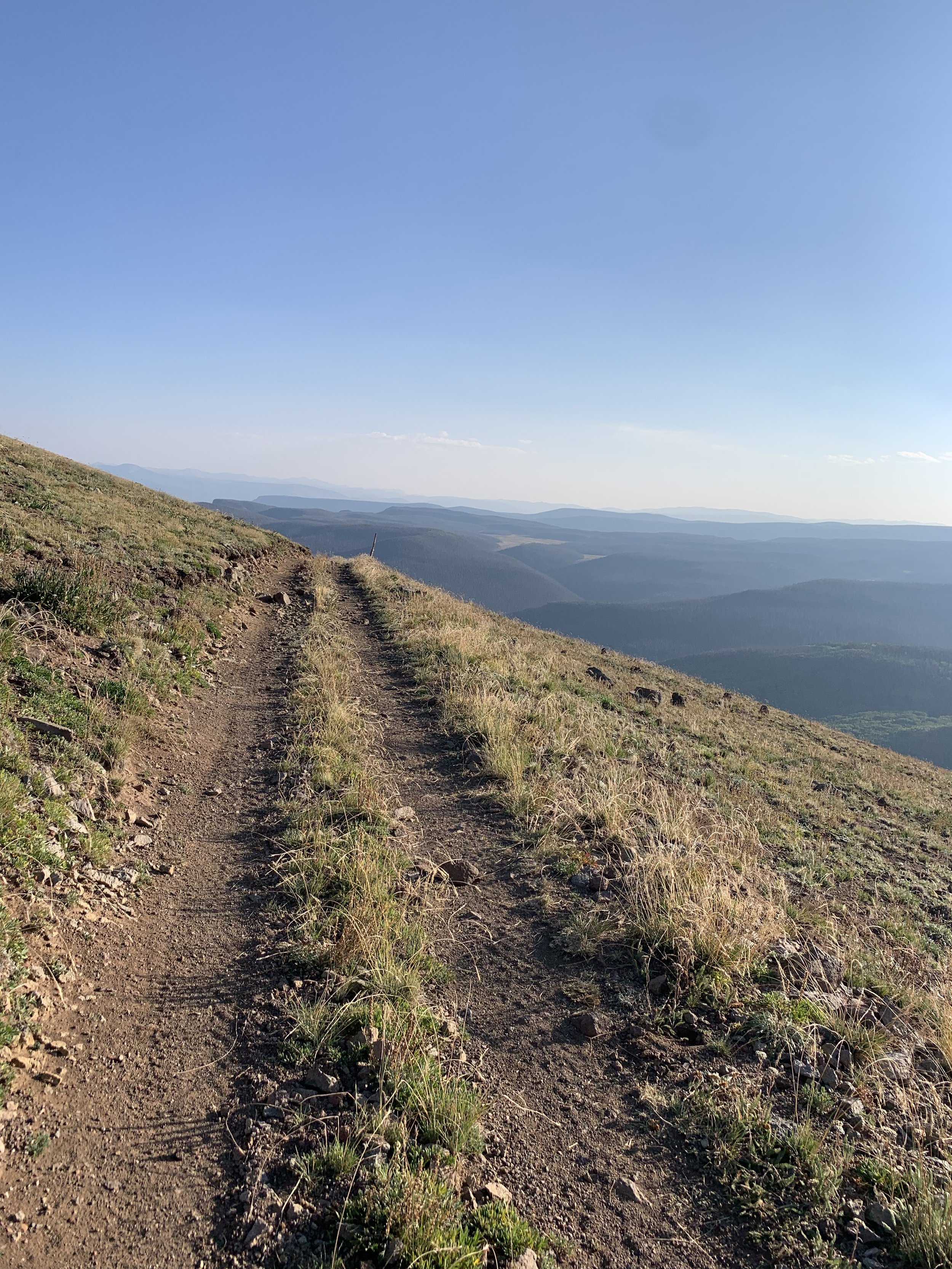
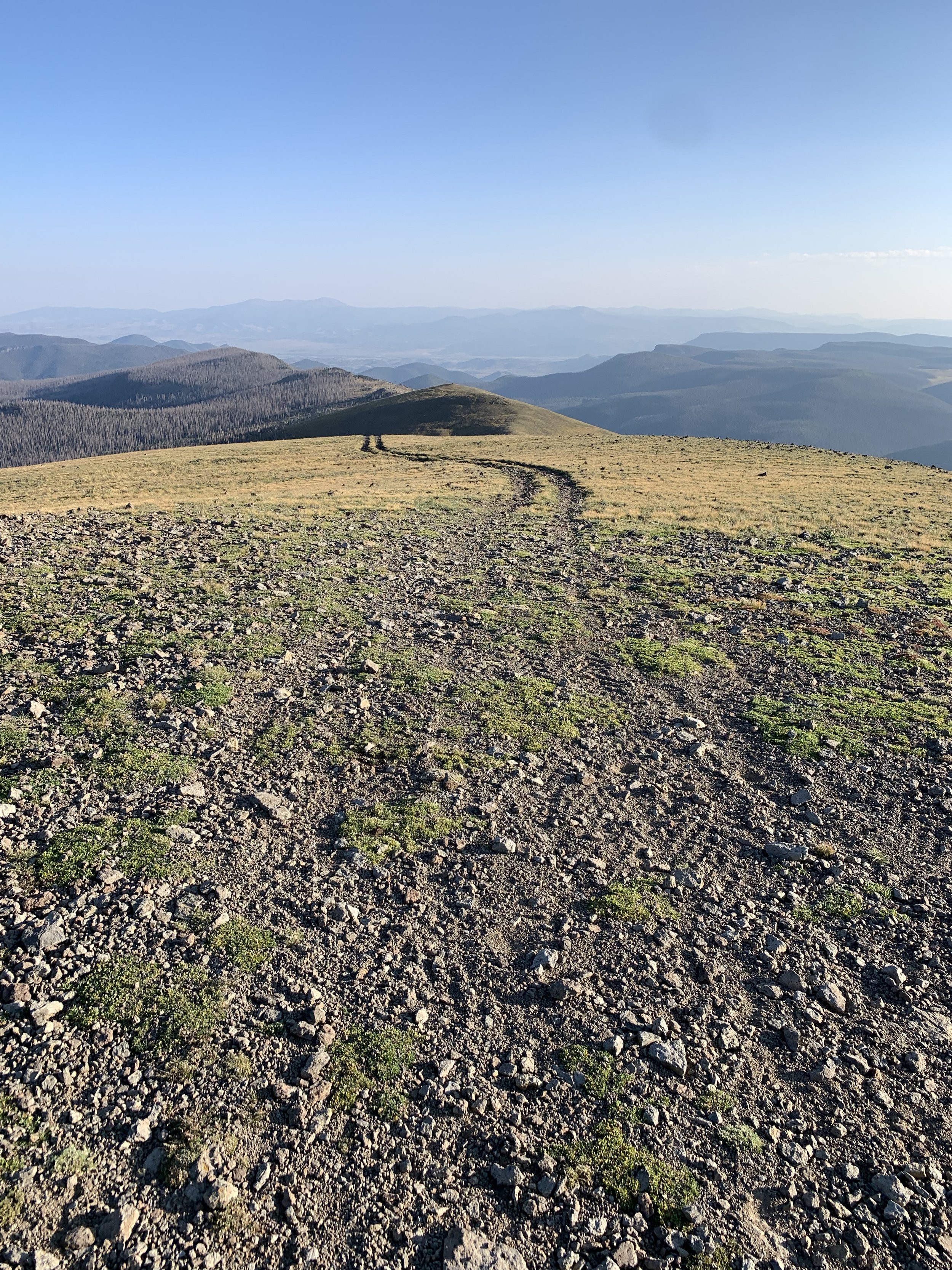
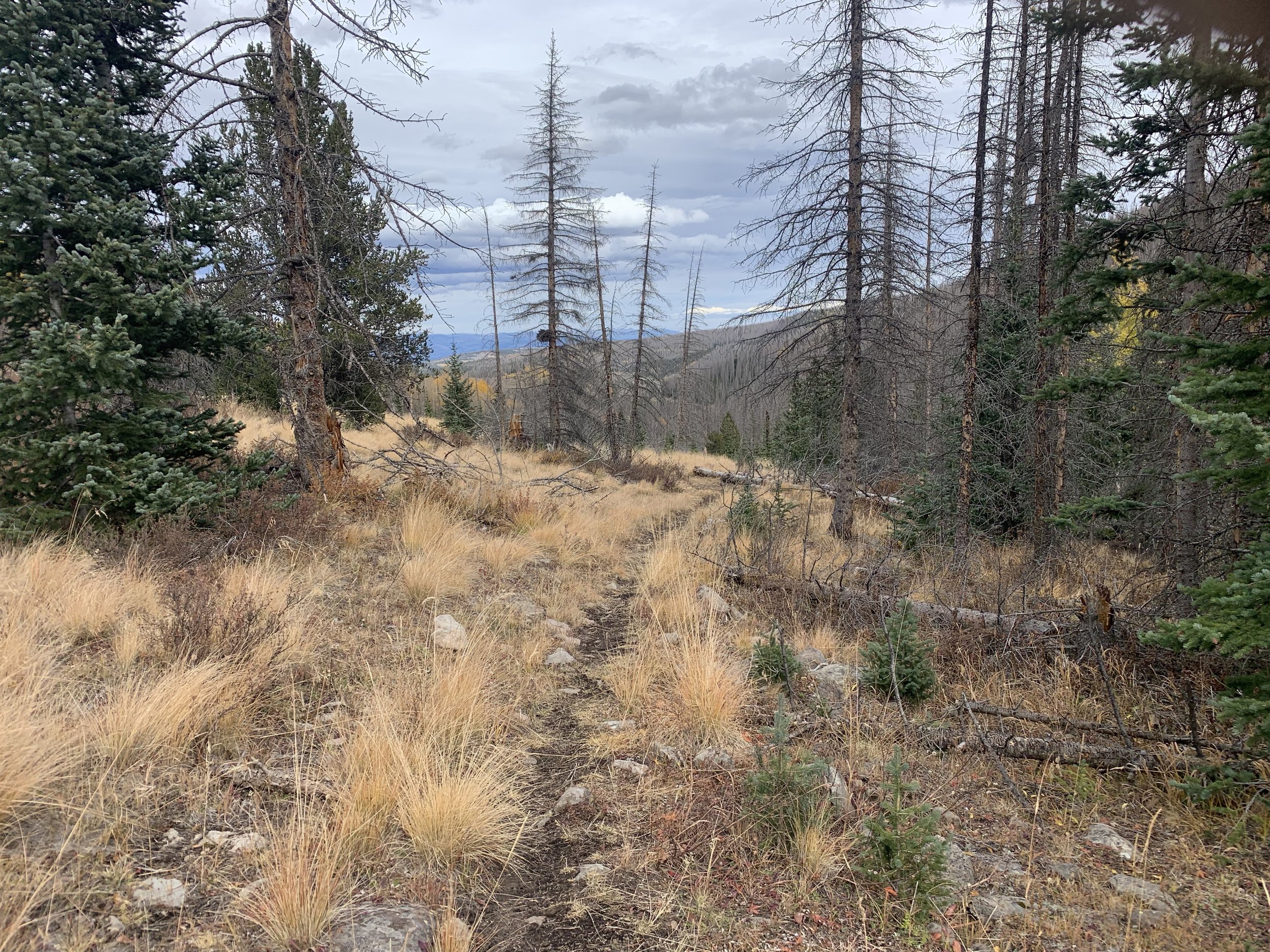
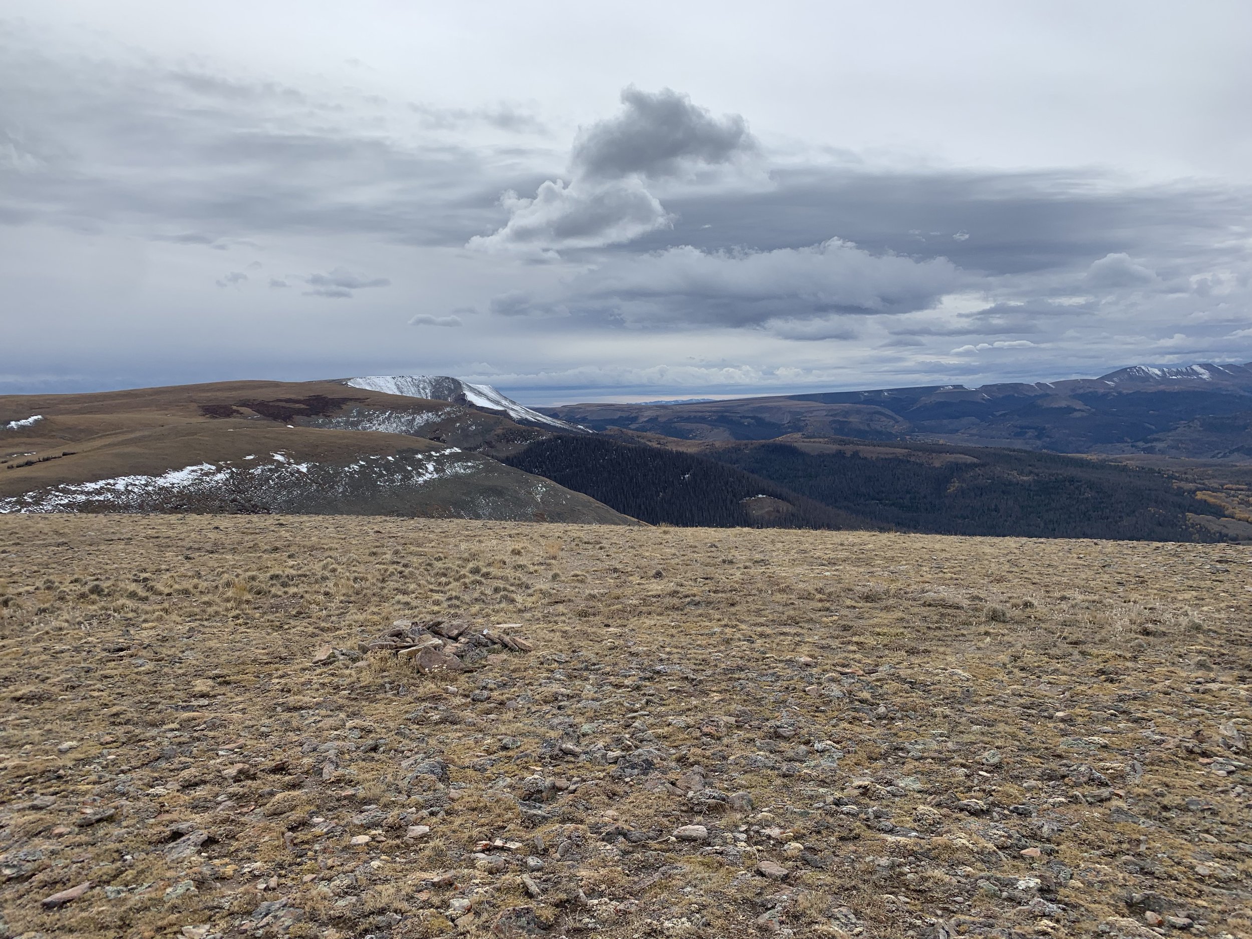
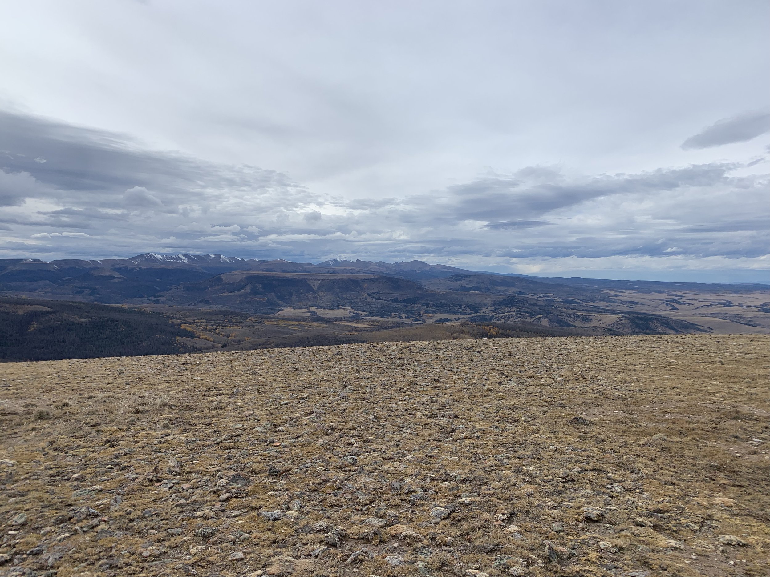
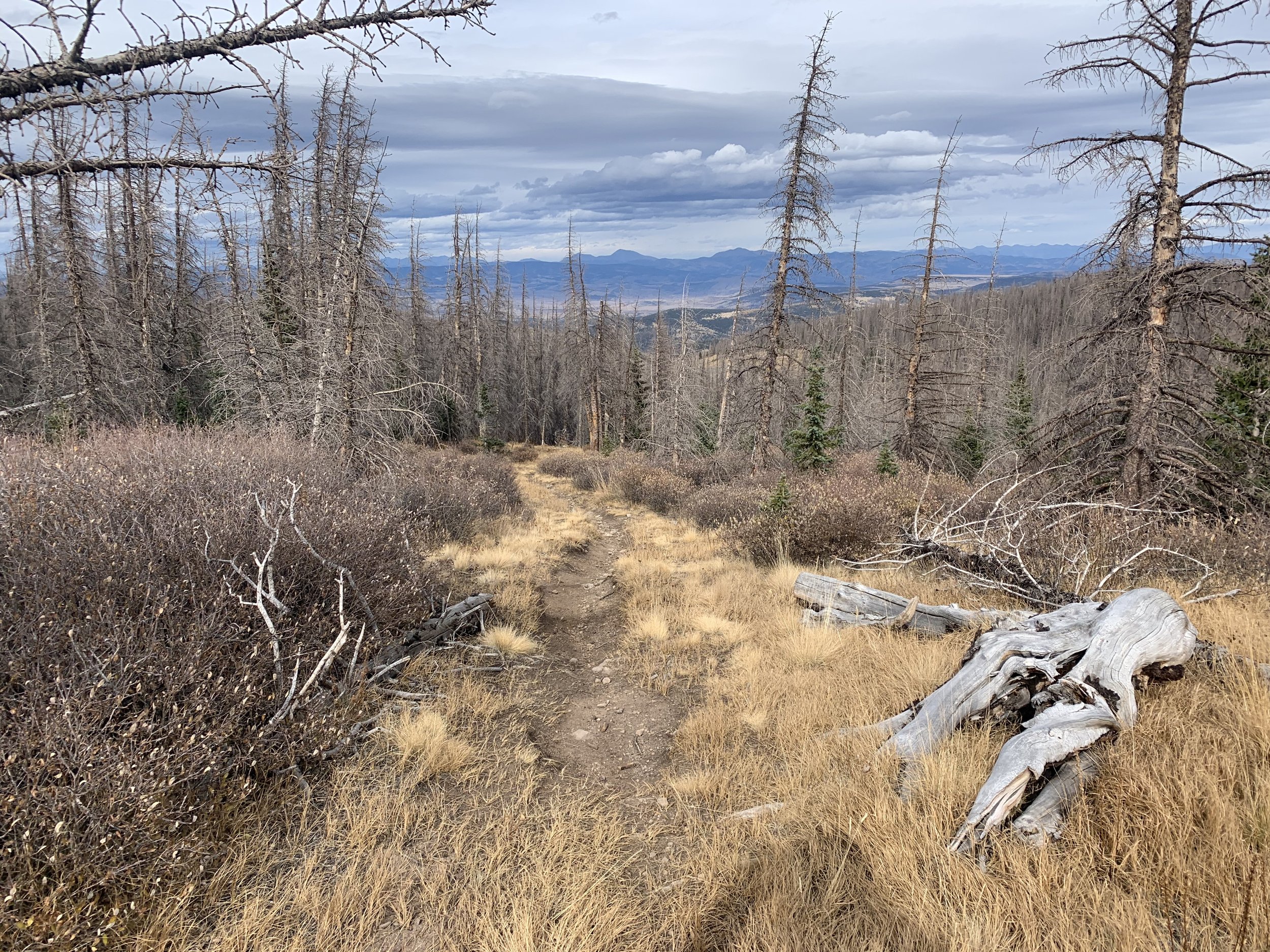
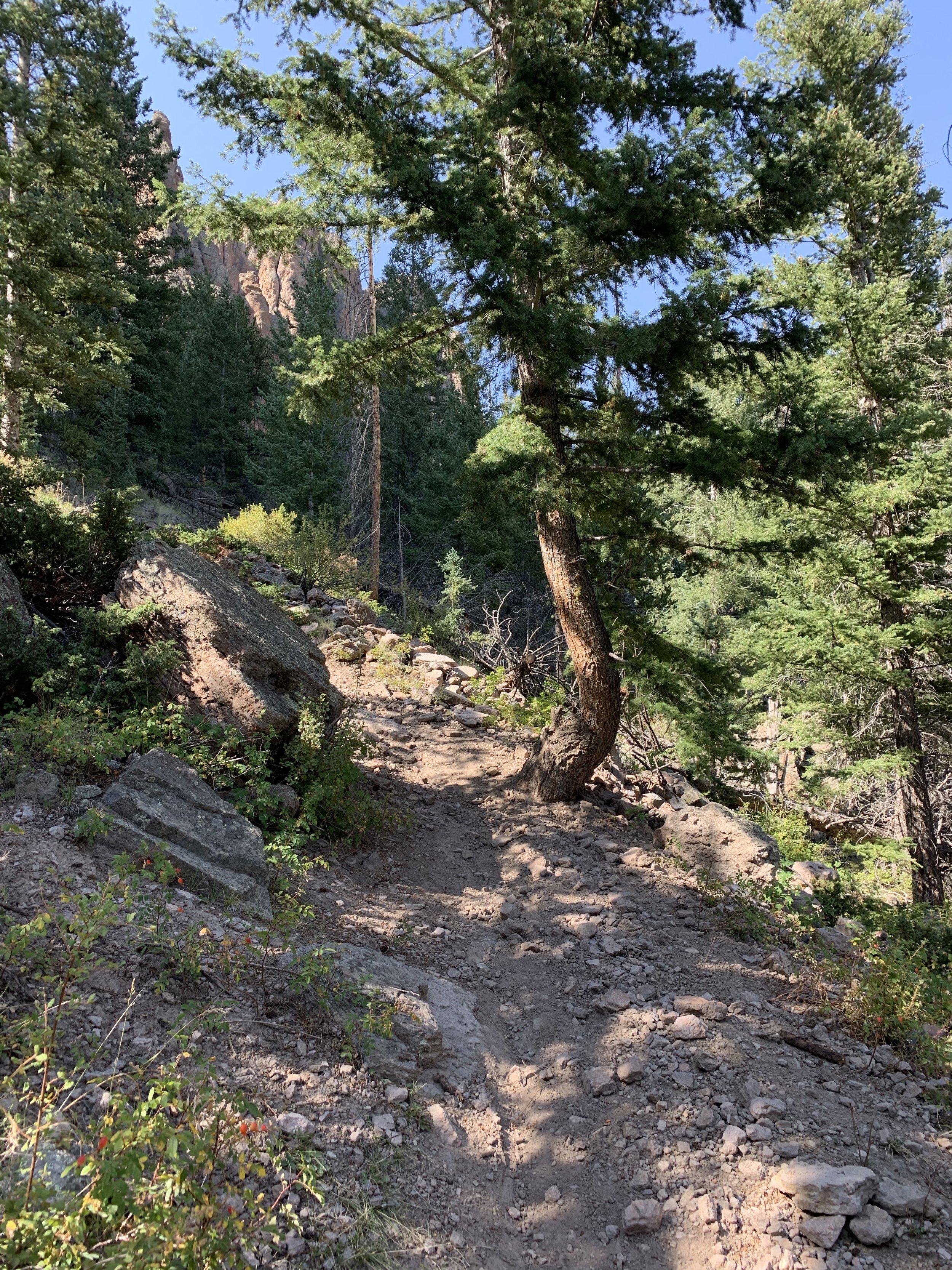
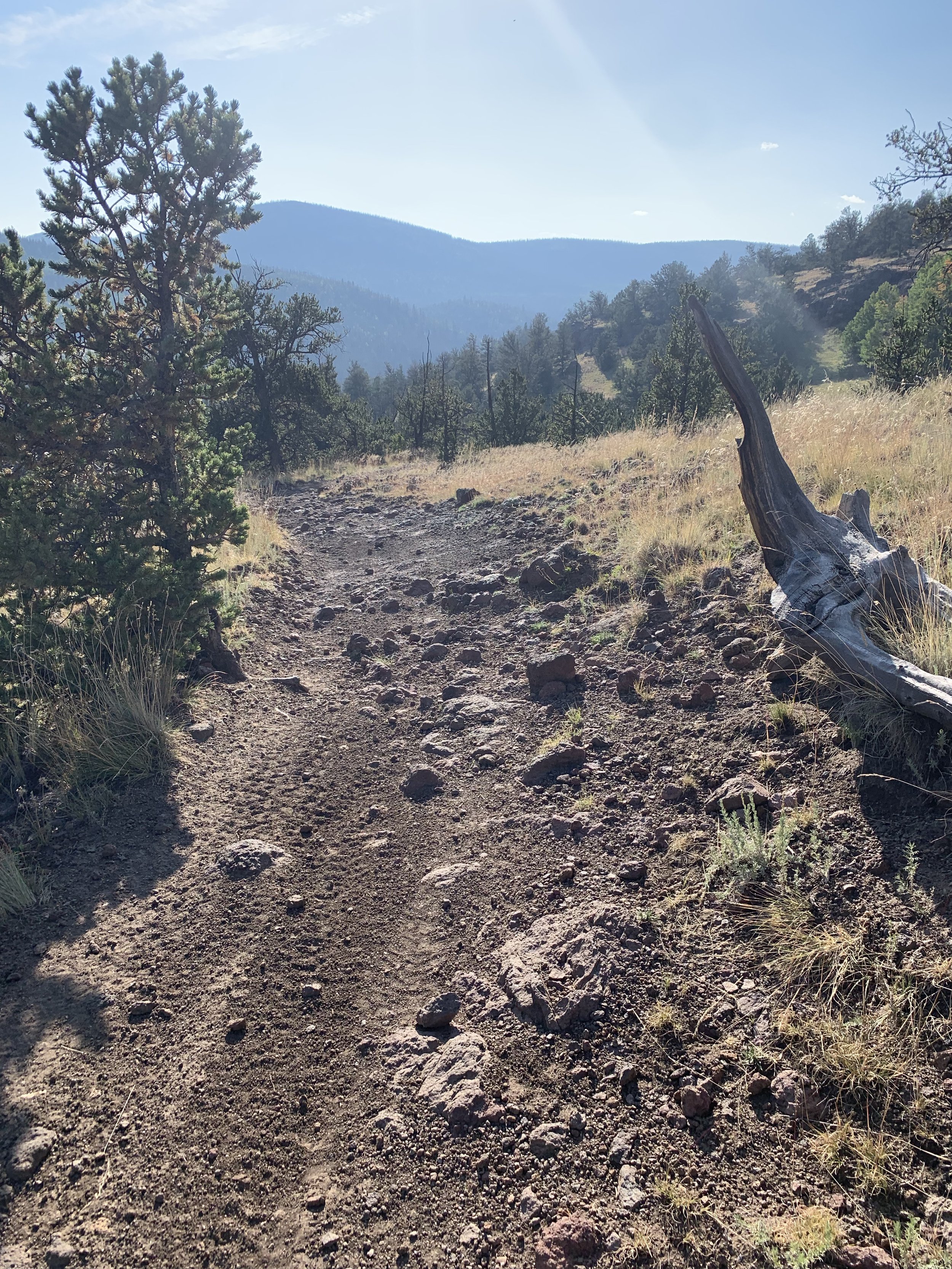
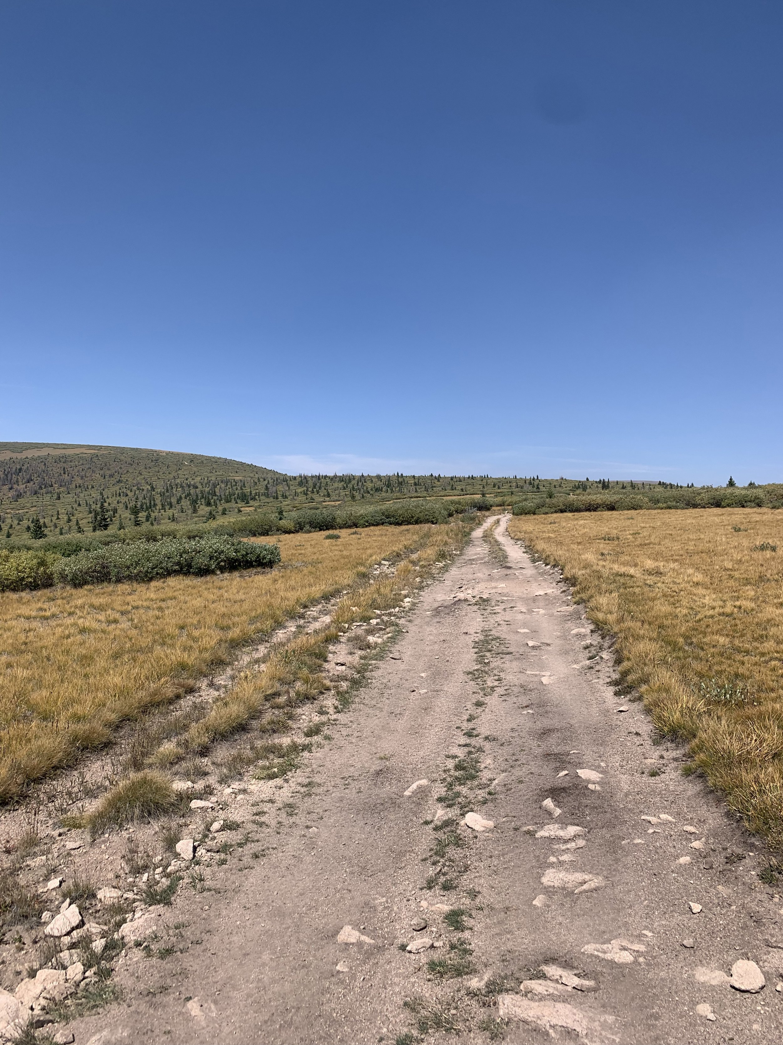
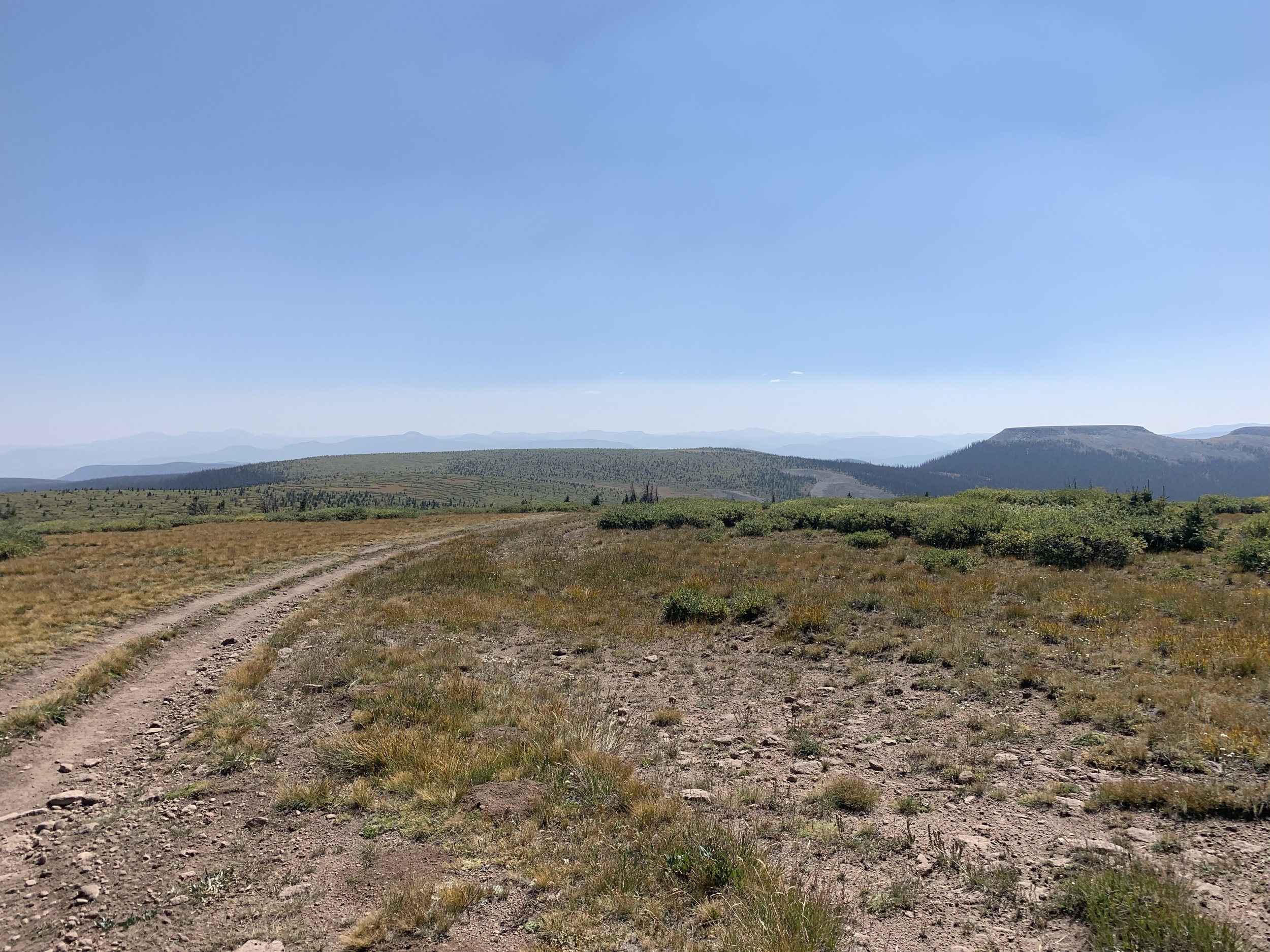
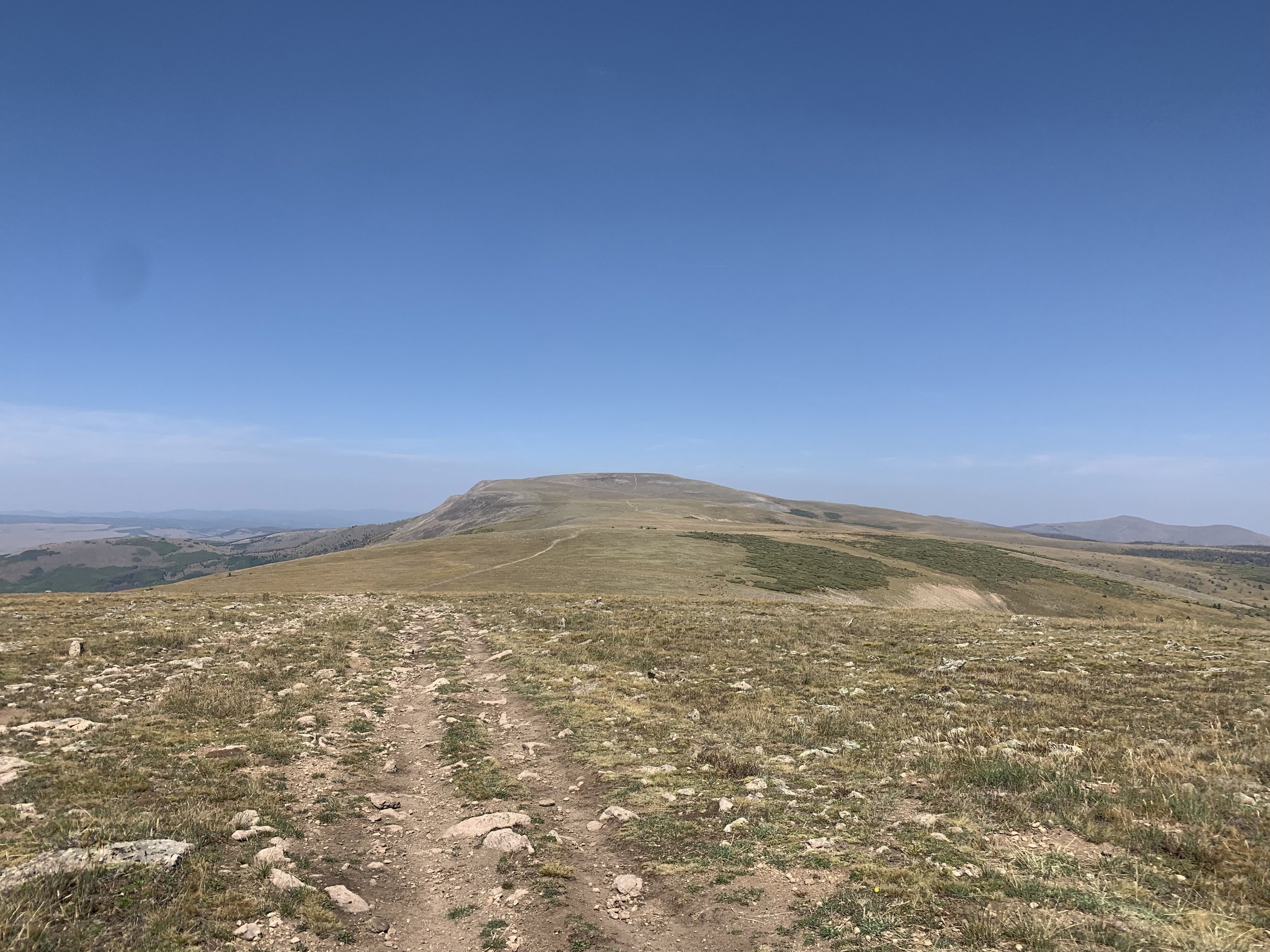
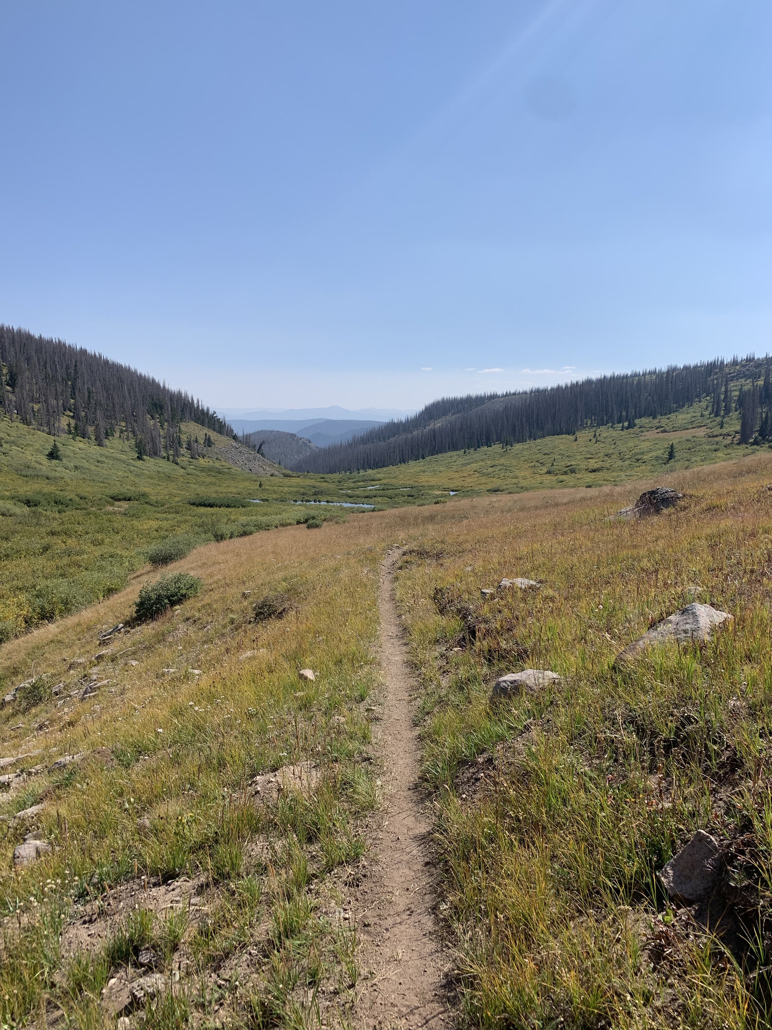
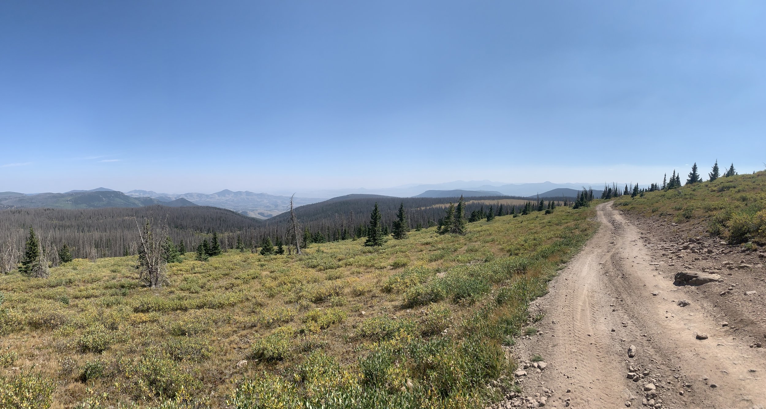
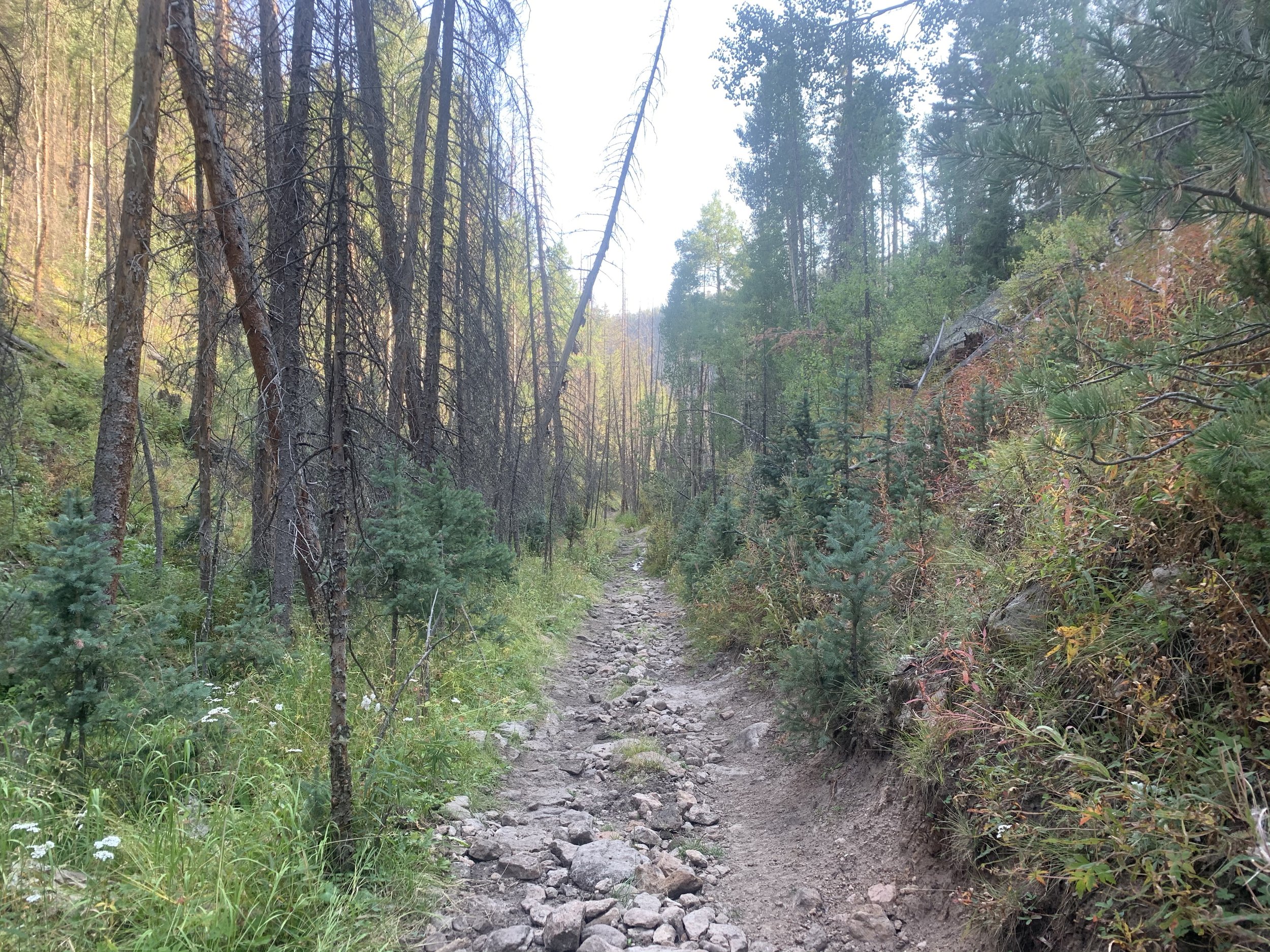
Ok, so here’s the deal. We are old school and still hold on to the belief that trail running should be simple; some shoes and proper clothing, water and food and a basic understanding of where you are going. We hold on to the idea that trail runners should be fairly self sufficient. We will warn you now, mileage is based on “ishes”, “arounds”, “approximately” - in other words IT IS NOT EXACT. If you are one of those people that live and die by the distance displayed on your watch, then this race may stretch your comfort zone. We take pride in having a well marked course and will do everything we can to mark the course and intersections clearly, but understanding and knowing the course ahead of time is a must. You never know when our friendly elk will play tricks on you by removing ribbons and flags! As long as you see markers, just keep running until you see the aid station. Enjoy the experience and freeness of ultra trail running.

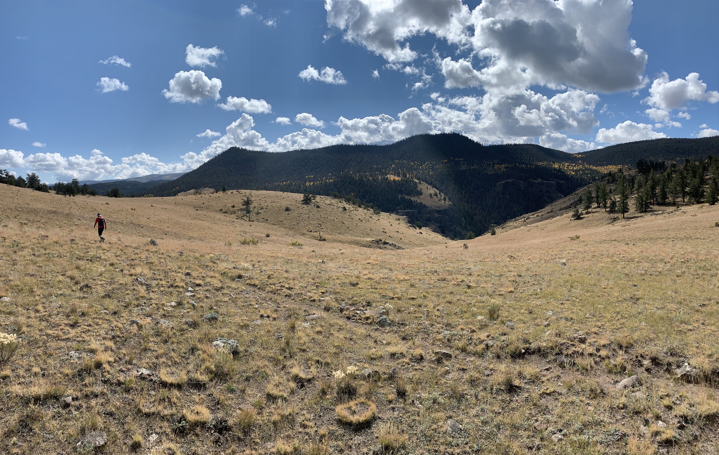
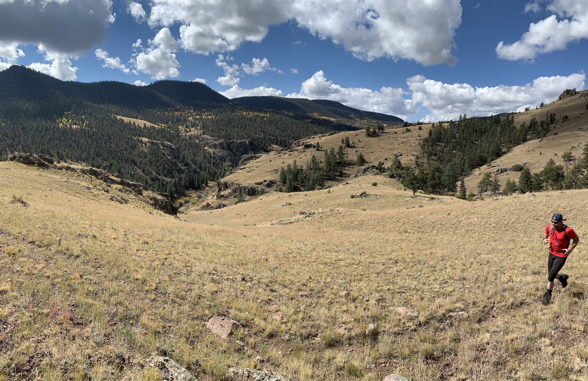
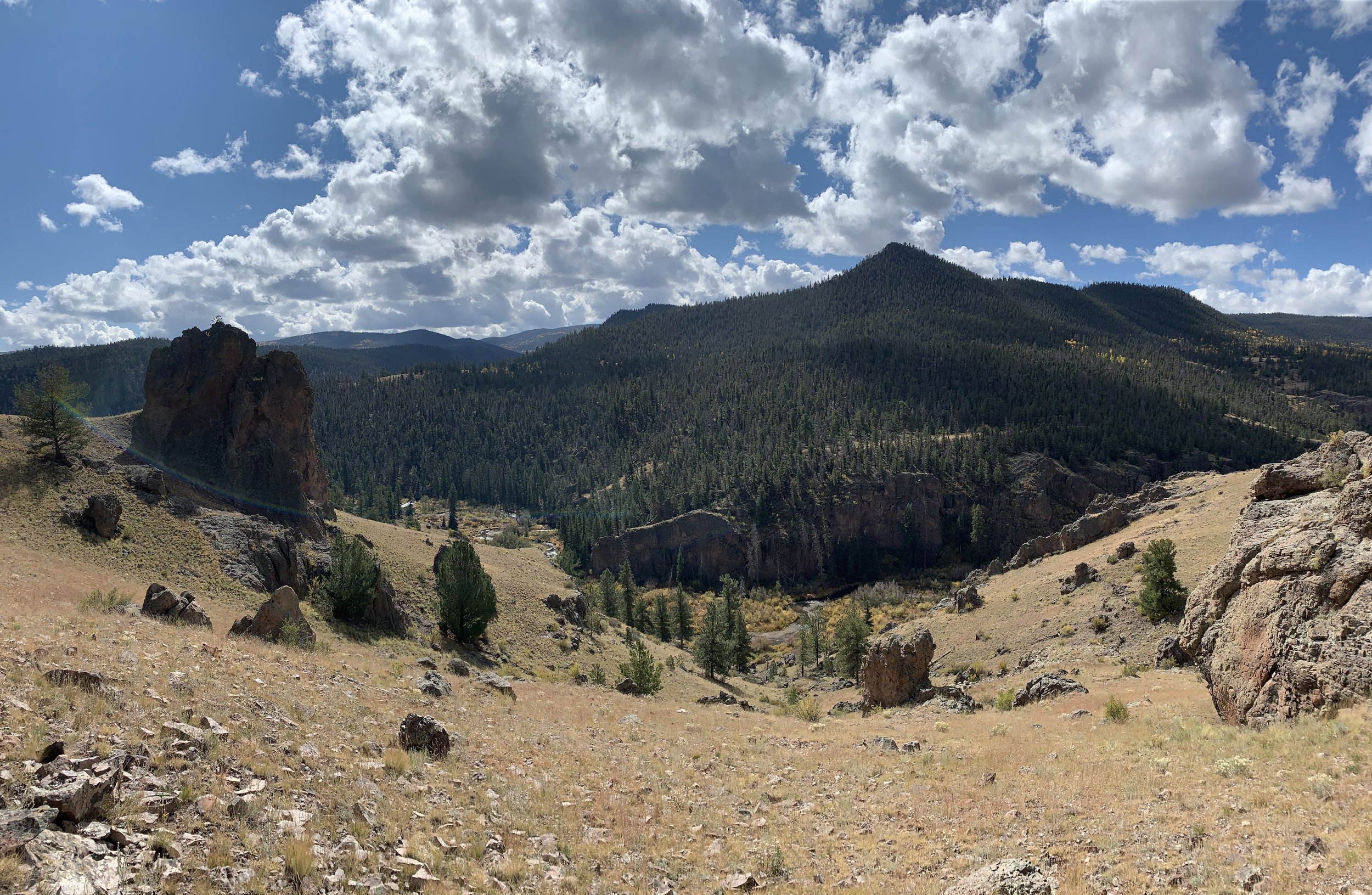
Distance: ~101.64 miles
High Point: 12,616 ft
Low Point: 8,212 ft
Average Elevation: 10,549 ft
Total Elevation gain: ~18,727 ft
Cut Off: 36 hours
Profile
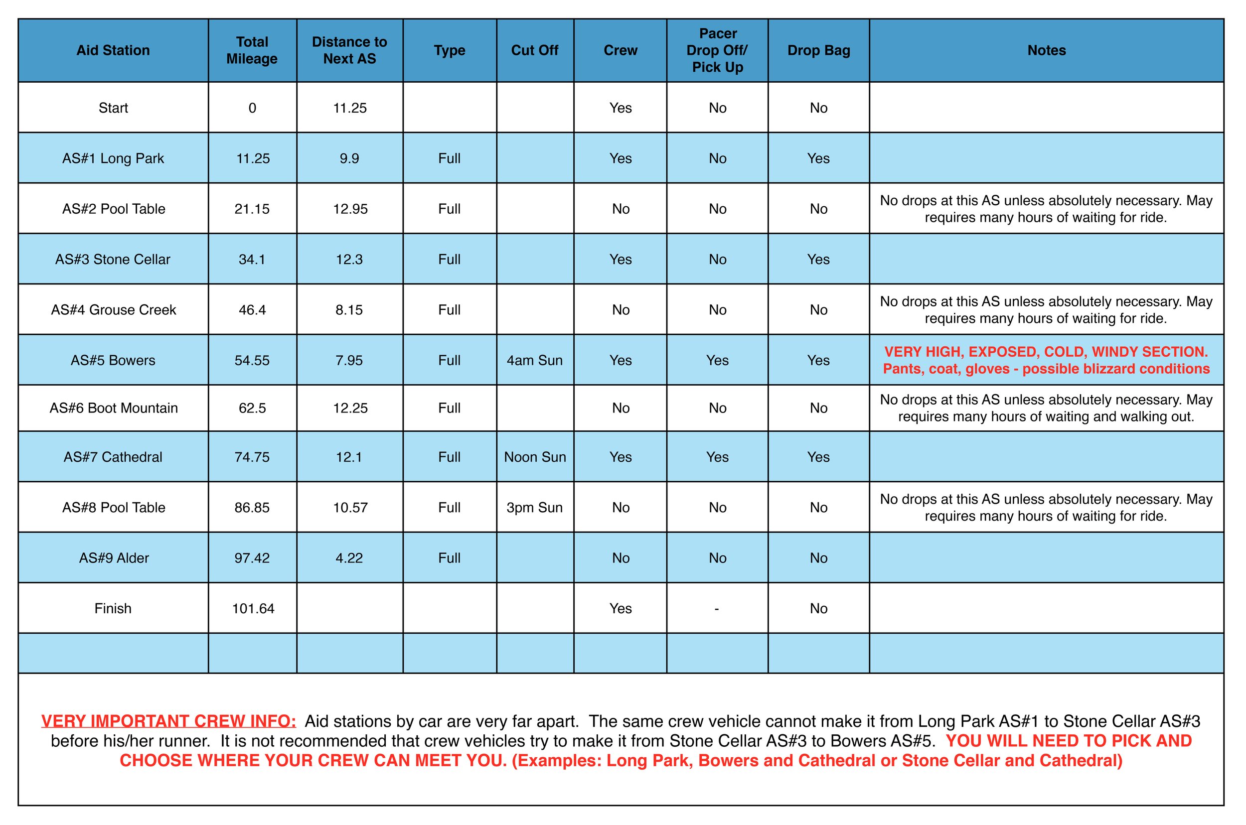
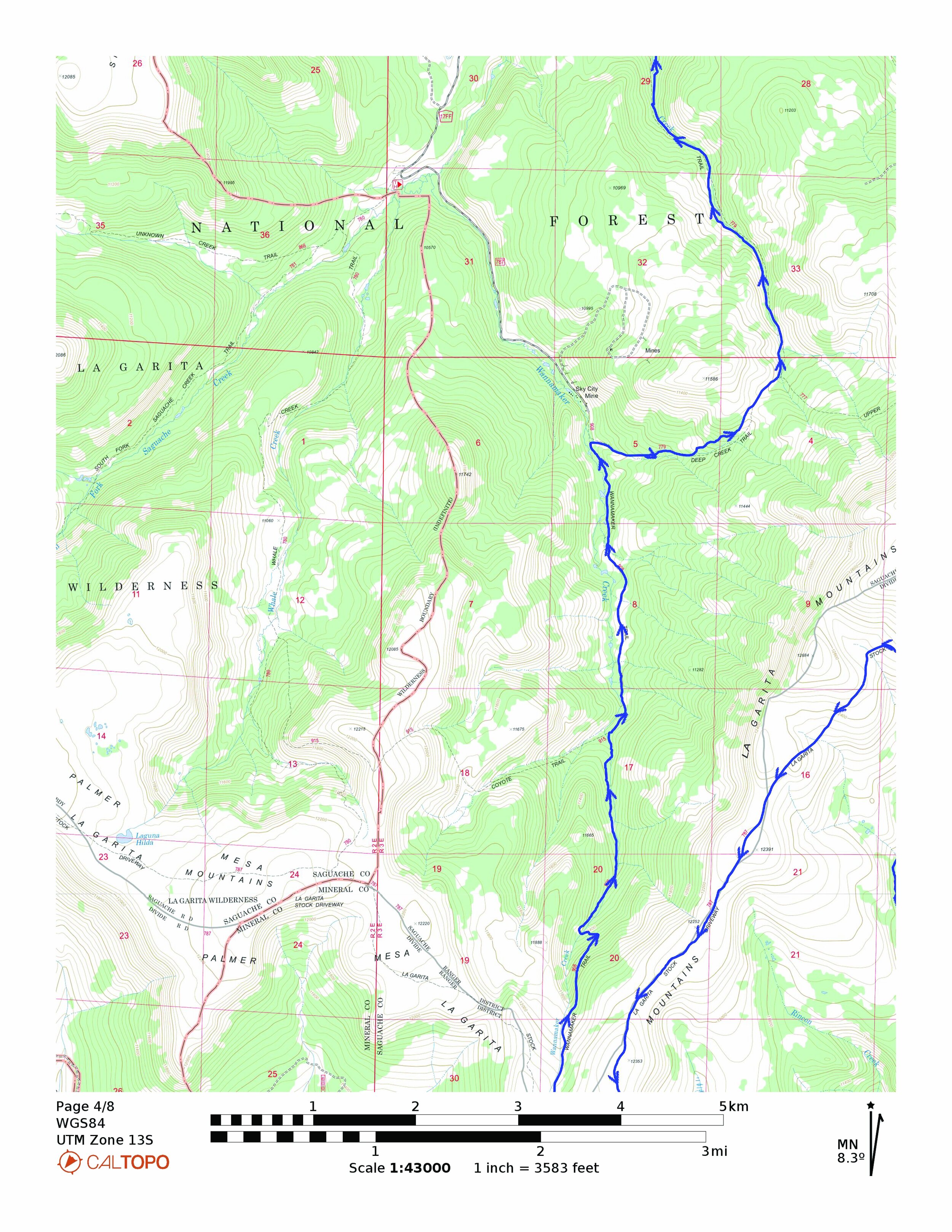
aid stations
maps


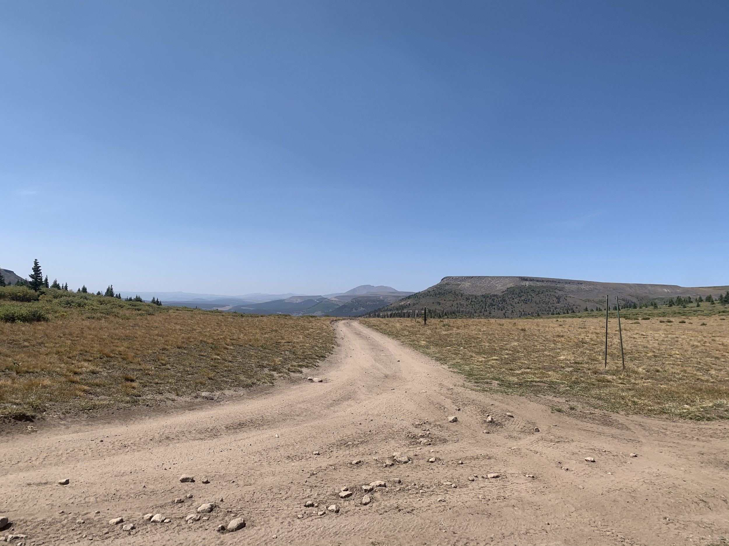
Start to AS#1 - Long Park (11.25 miles)
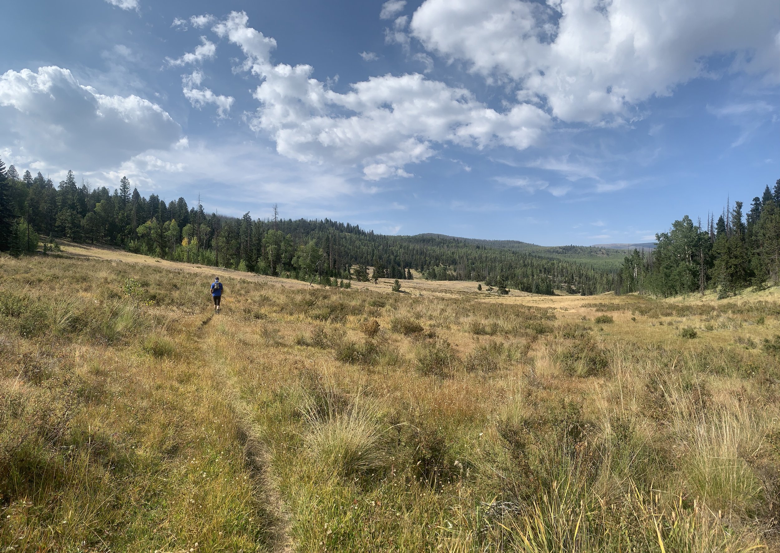
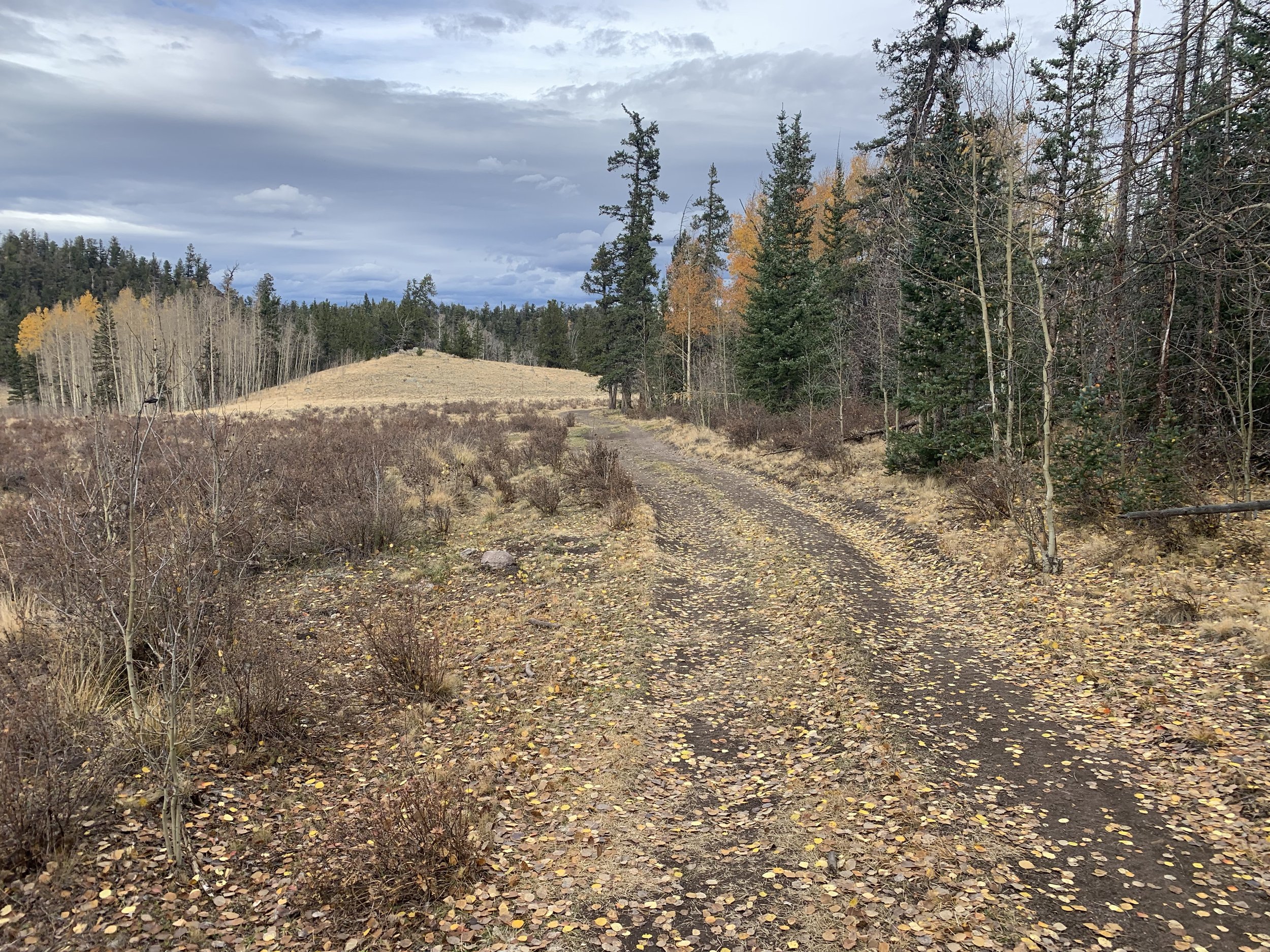
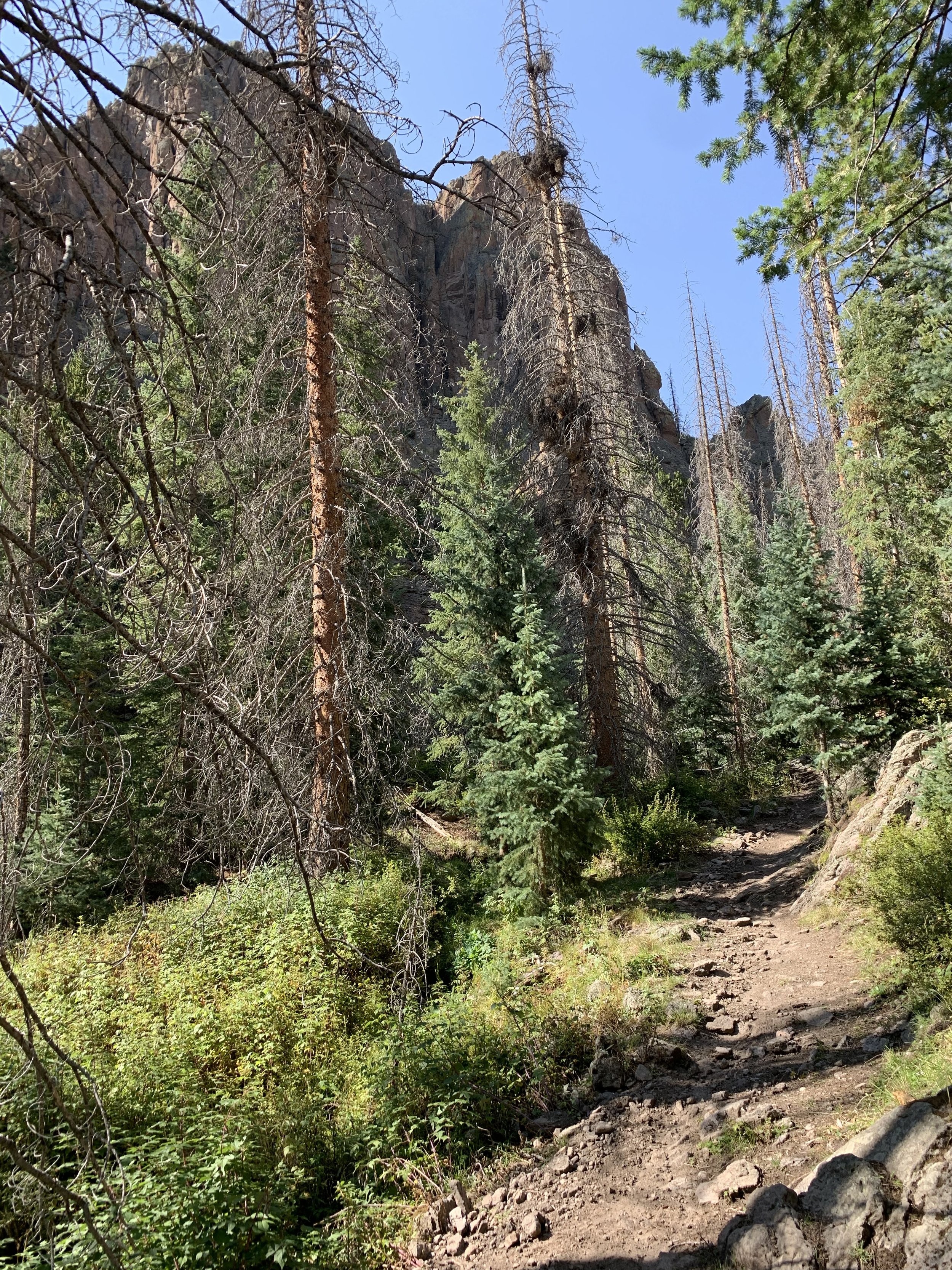
From the start, head out to the right on CR 15/North River Road. Go 1.13 miles then turn left on FR 610. In about 2 miles you will reach the Alder Guard Station (kind of just looks like and nicely kept old house). Immediately after the Alder Guard Station turn left up the Alder Bench Trail (799). Enjoy some refreshing up hill scenic single track. In 2 miles you will pass the Palisade Trail on your left, continue straight on Alder Bench. At around mile 5 you will pass through the door, trust me you will know when you see it. Drop down into Raven Park and then in a half mile or so you will pop out on to FR 602. Turn right and arrive at the Long Park AS in 1.75 miles.
AS#1 - Long Park to AS#2 - Pool Table (9.9 miles)
From Long Park AS, go right on FR 610. In 2.6 miles turn left onto West Alder Trail (798). In just under 2 miles you will reach Hanson Mill (an old lumber mill site, now a campsite and parking area). At Hanson Mill, turn right onto FR 600. I know it’s a road, but sometimes you gotta take a road to get from one beautiful place to another so just cruise and enjoy because we have some rocks up ahead. In about 4 miles you will come to a T - you need to make a hard right onto FR 3A. Do NOT go to Wheeler Monument, its amazing but that’s a different trip. In about 1.5 miles on FR 3A you will arrive at Pool Table AS.
AS#2 - Pole Table to AS#3 - Stone Cellar (12.95 miles)
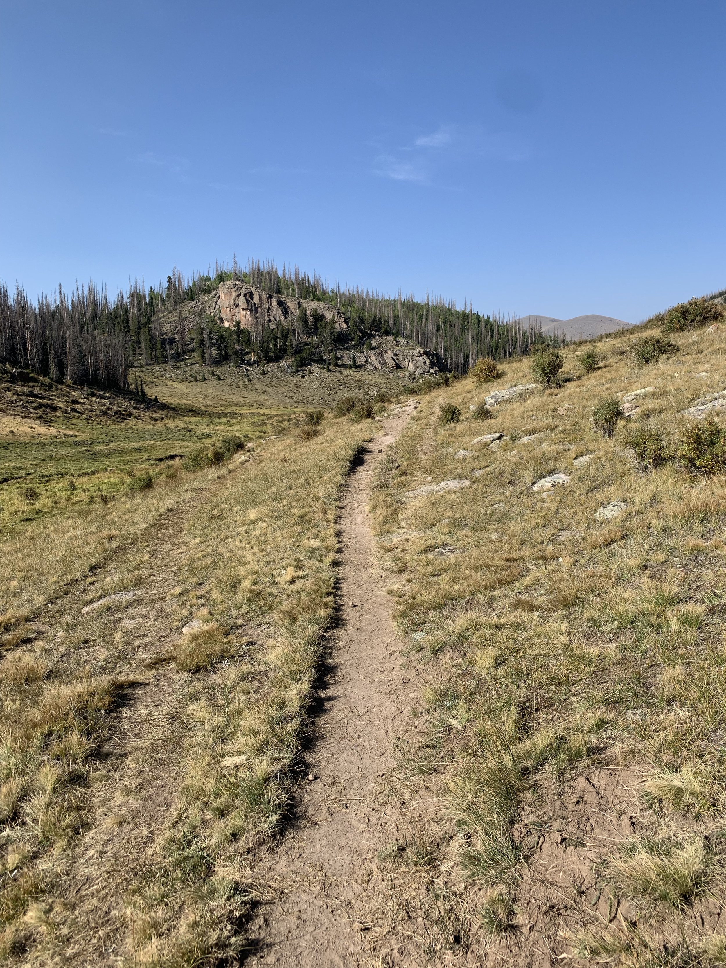
From Pool Table AS go out on trail 787.1/La Garita cut off trail. In about a mile you will come to a Y, which happens to be trail 787/ La Garita stock driveway both ways. There will be a sign there but you need to go left so you don’t do the course backwards please. In just over a mile the trail Ys again, this time stay right on the Wannamaker Trail (908). Follow the markings - the trail is faint here. In 2.75 miles the Coyote Trail will be on your left, stay straight on the Wannamaker Trail (908). Two miles after the coyote trail you will make a hard right onto Deep Creek Trail (779); if you are in a bunch of cabins you missed the hard right. Follow the markers. In 6.25 miles you will pop out onto FR 787. Turn right on the road and in .25 miles you will arrive at Stone Cellar AS.
AS#3 -Stone Cellar to AS#4 - grouse Creek (12.3 miles)
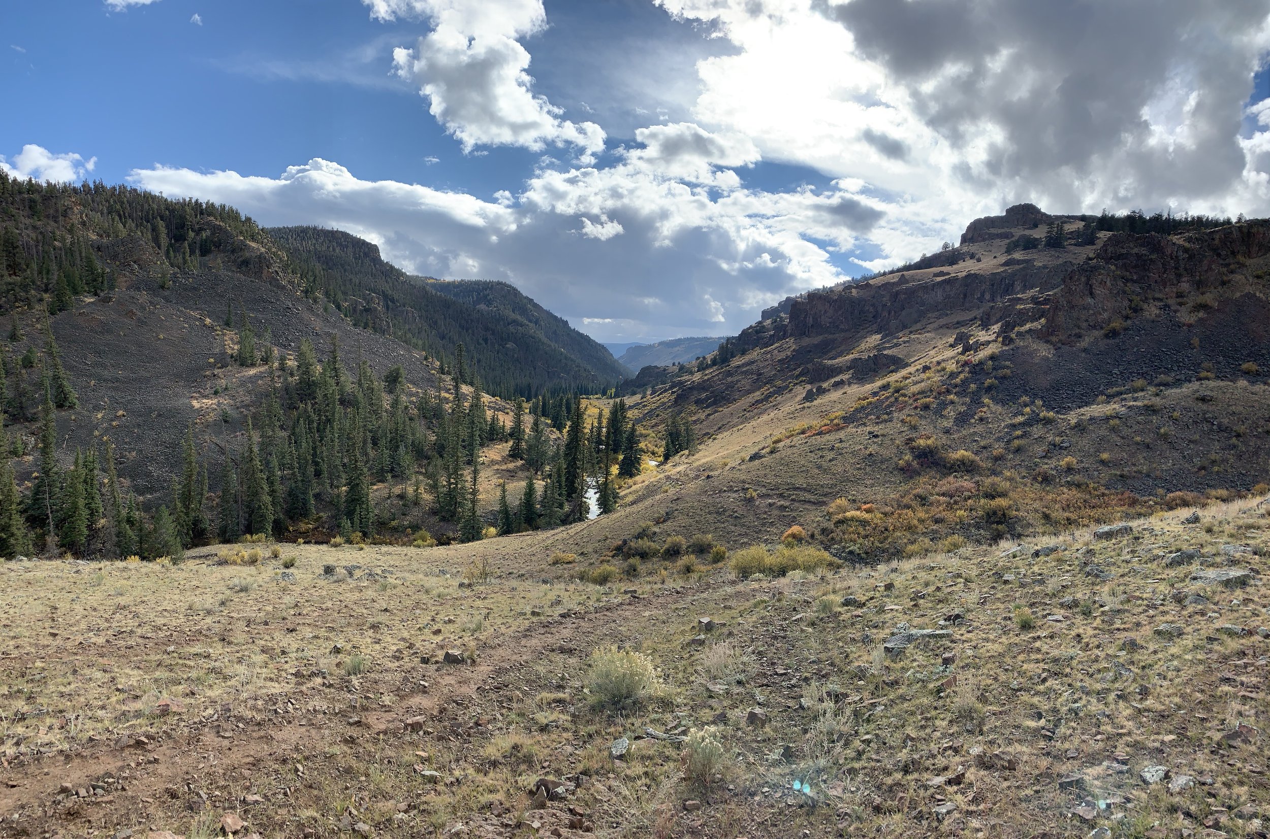
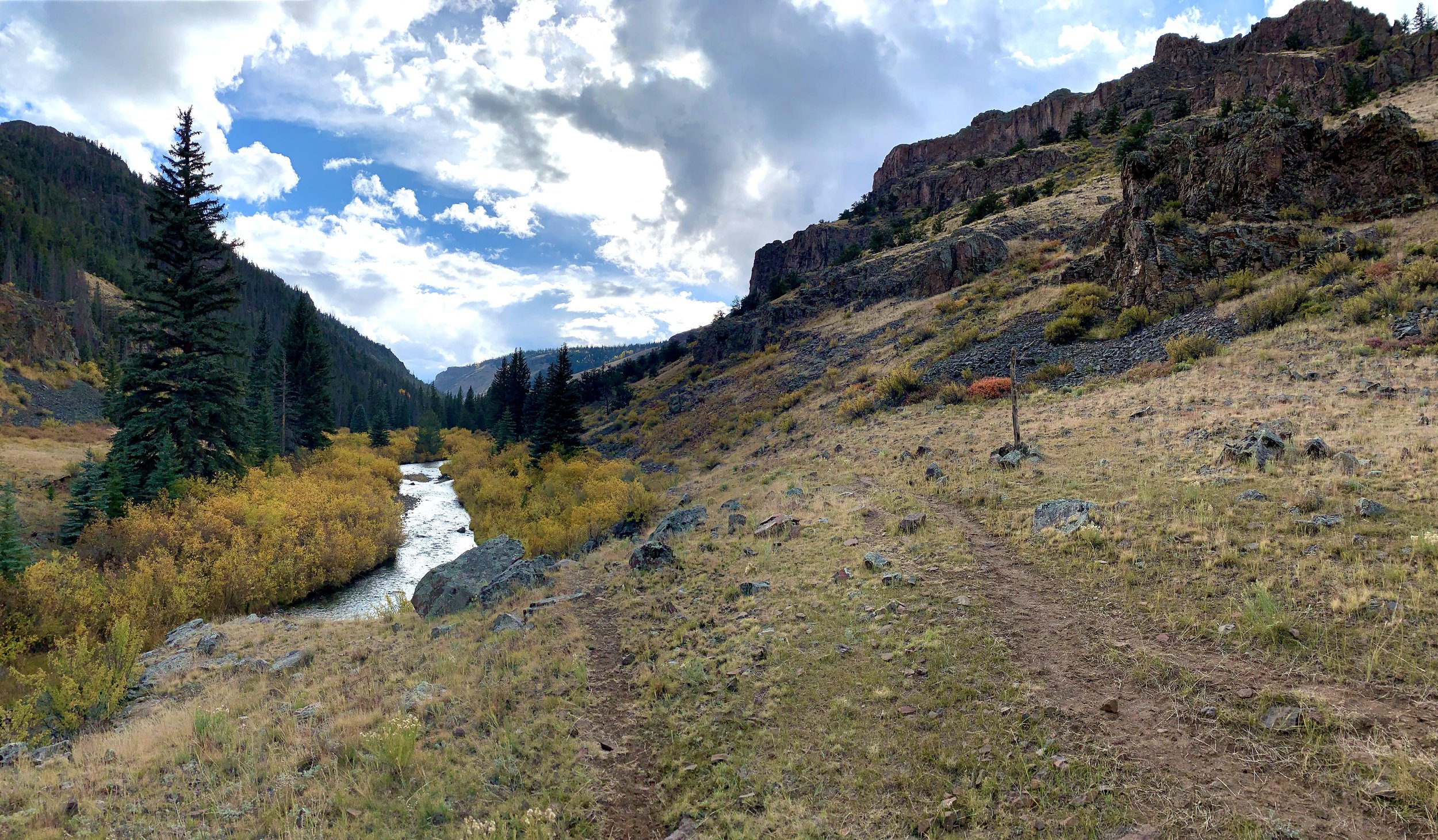
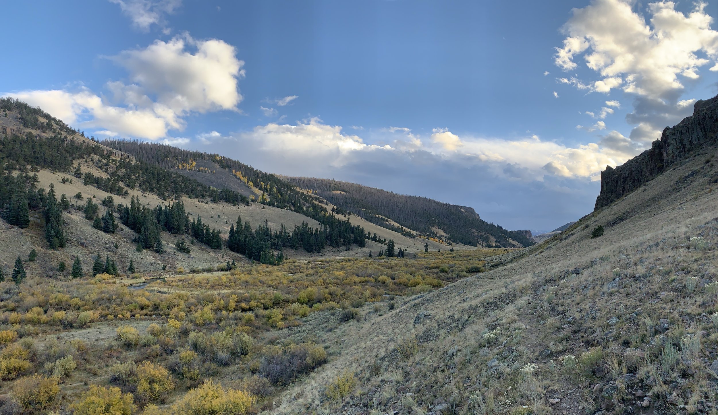
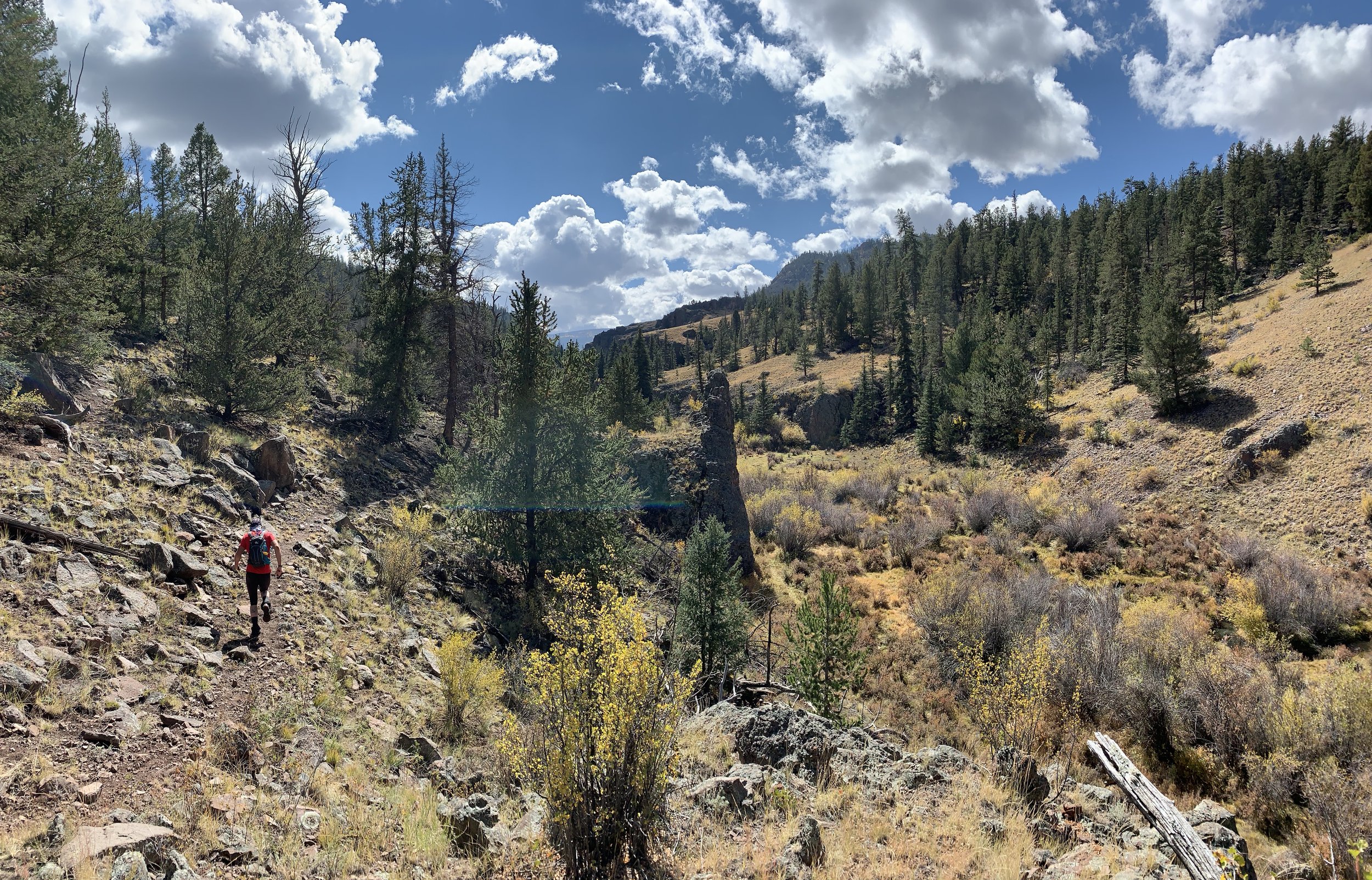
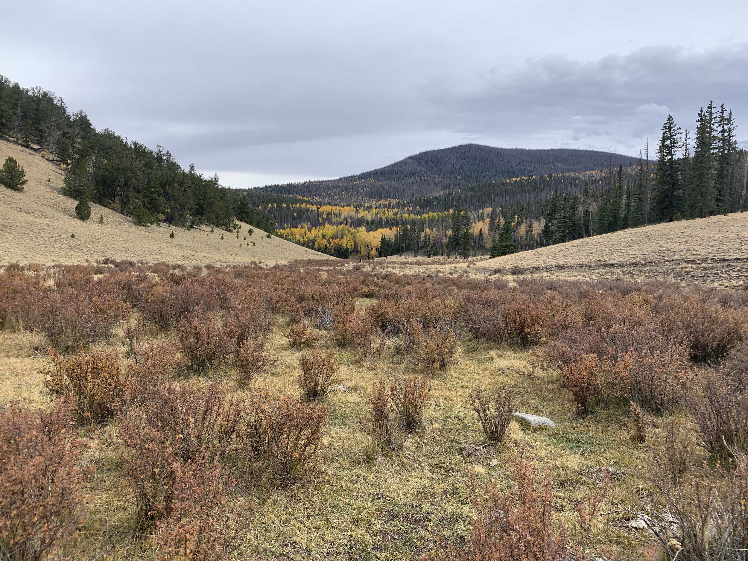
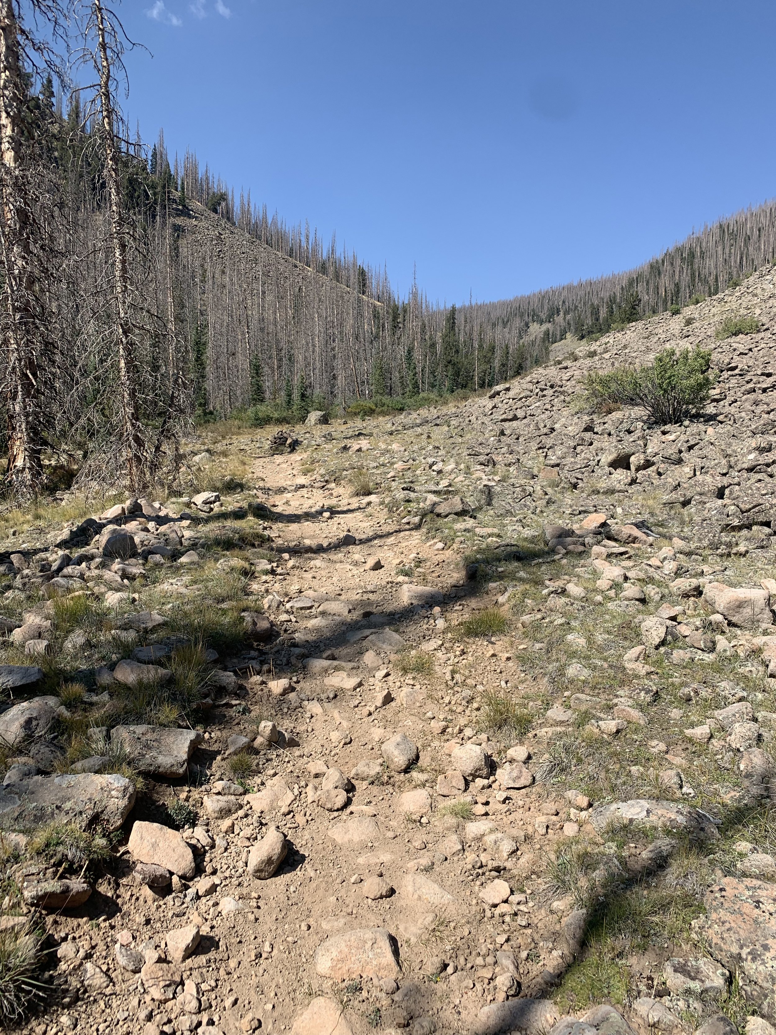
From Stone Cellar AS, continue down the road about 2.25 miles to a 2 track jeep road on the right that leads off downhill. This is FR 375 3P. Continue on this for .5 miles then follow the markers and cross the Saguache Creek; you’re probably gonna get you’re feet wet here - it’s a big creek. Follow the creek passed some boulders and down the beautiful canyon. There are a lot of cow trails and many times there will be several trails; they almost always join back in but the markers follow the best route. In 4 miles it’s crucial to follow the markers and not the cow trail. You will come to a small rise and the trial will go up and to the left leading you up a small ravine for several hundred feet. Here you will see a 2 track jeep road and you will need to go another 100 foot and veer off to the right and follow the barely visible trail up the hill; this will be marked well. You will continue around the hill and come to a 2 track jeep road and follow it for .5 miles or so then head straight (or slightly left) when the road goes right - this trail is also hard to see but will be marked well. Wind around for 2.5 miles then drop down into Saguache Creek for another crossing. Once across the vegetation is very thick, markers will lead you to a nice singe track. In .25 miles or so you will come to a wire cowboy gate, this gate MUST remain closed, you wouldn’t want to lose your pet just as the ranchers don’t want to lose their cows. Just lift the wire loop off the top of the right side, lean the gate to the side, step over and through, then return the gate to it’s original position and put the wire loop back over. In about 1.5 miles you will cross the small creek and head up though the woods on a non-visible trail for a couple hundred feet uphill leading you to a 2 track jeep road. Follow it for another .25 miles arriving at Grouse Creek AS.
AS#4 - Grouse Creek to AS#5 - Bowers (8.15 miles)
Follow the 2 track jeep road FR 2B for 1.4 miles where you will stay left at FR 761. Then stay left again in just under .5 miles when you pass FR 2C. One mile past FR 2C, make a hard right onto FR 760. In 1.8 miles turn left on to FR 675. In a little over 3 miles you will reach Bowers AS.
AS#5 - Bowers to AS#6 - Boot Mountain (7.95 miles)
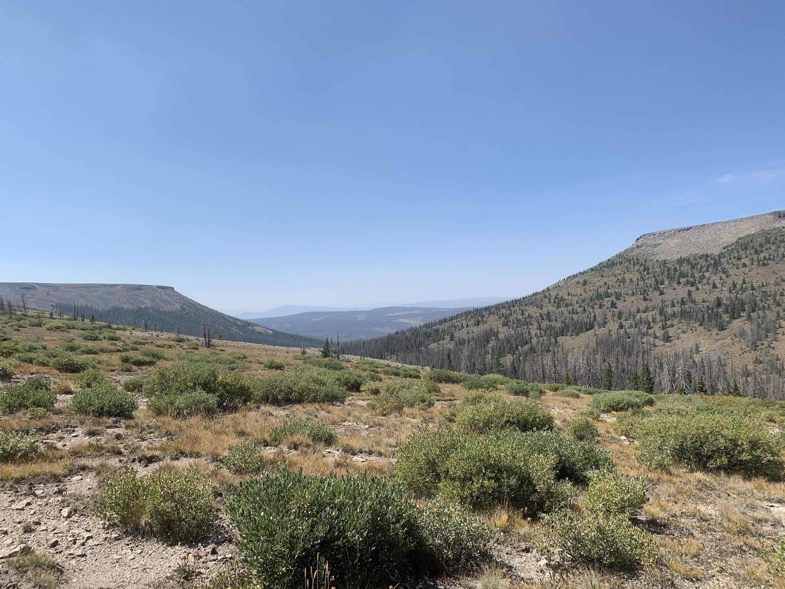
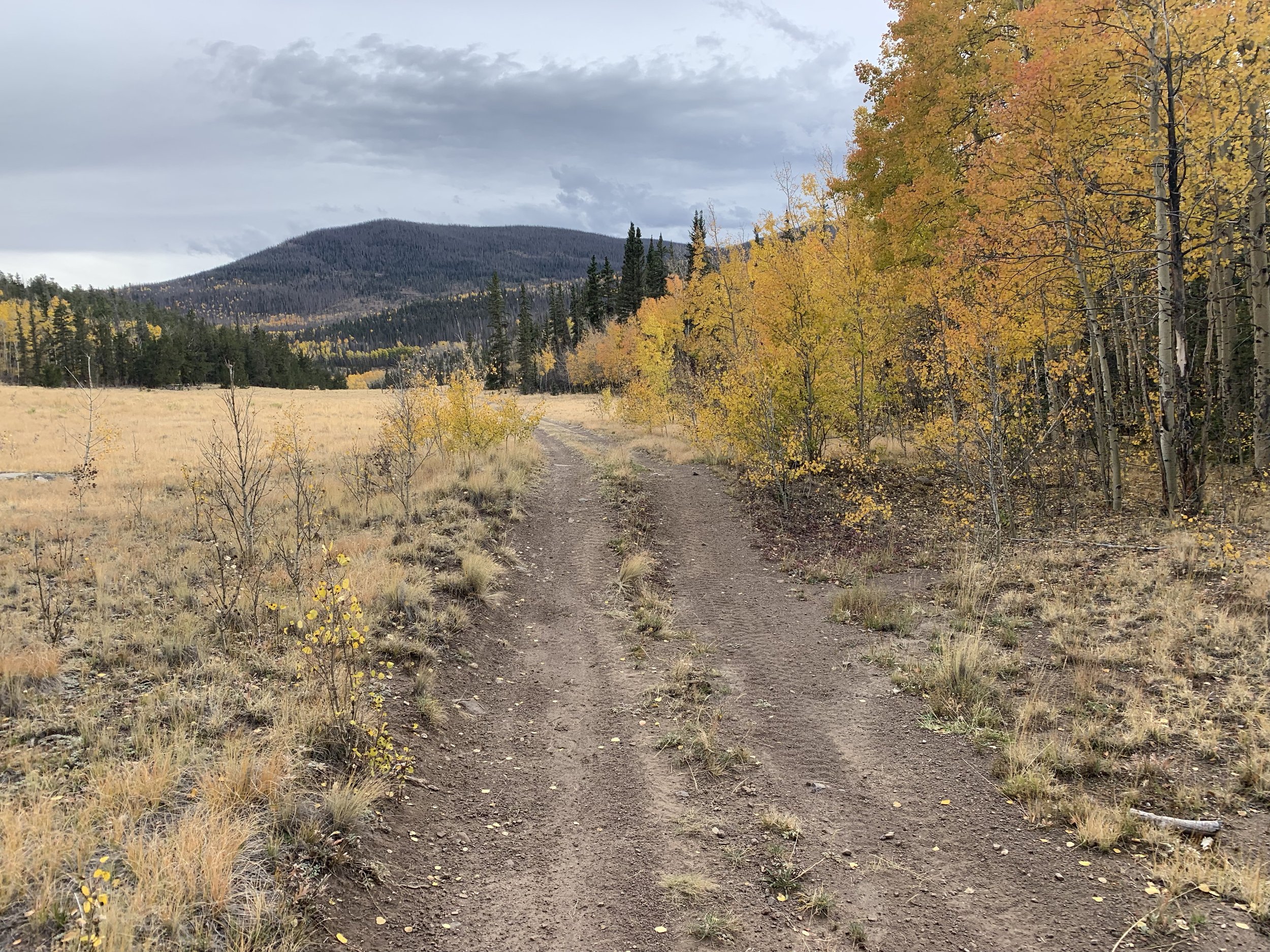
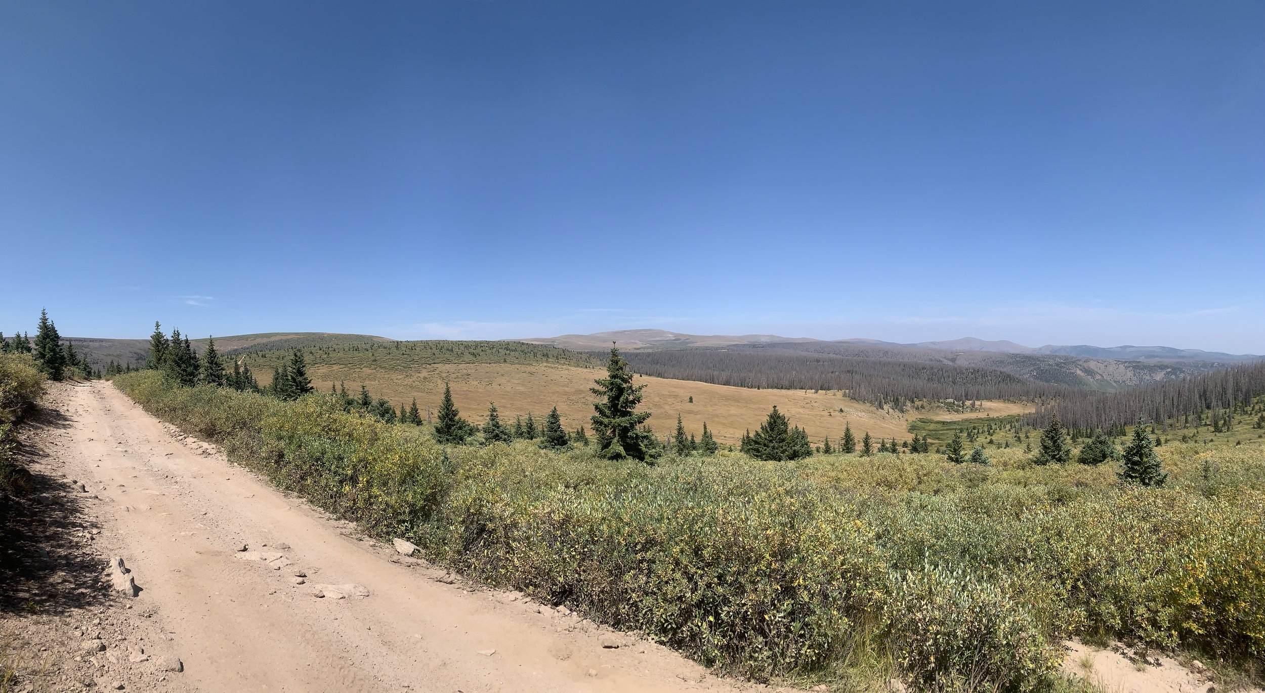
From Bowers AS, head up Bowers Trail (909) climbing for 2.5 miles. Bowers Peak will be to your left at the top. Follow the single track down .75 miles to an intersection; you will go left then immediately stay right on trail 787. In .8 miles stay right again onto trail 787. Make your way though the woods for another 2 miles, then climb Boot Mountain in a short .5 mile. Enjoy the view and congratulations you’re above 12,000 feet for the 3rd time. Descend off Boot Mountain for slightly over 1 mile to the aid station.
AS#6 - Boot Mountain to AS#7 - cathedral (12.25 miles)
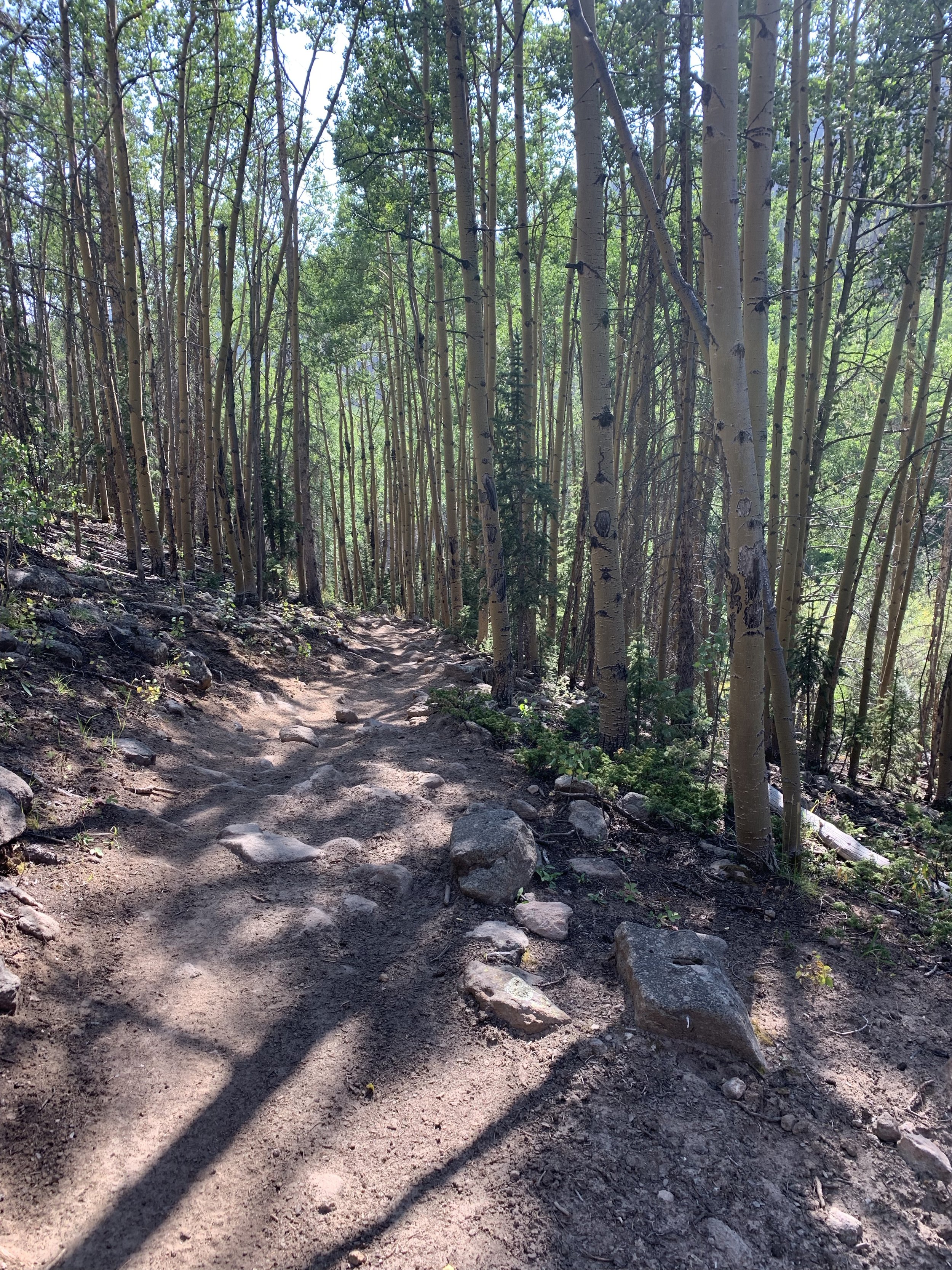
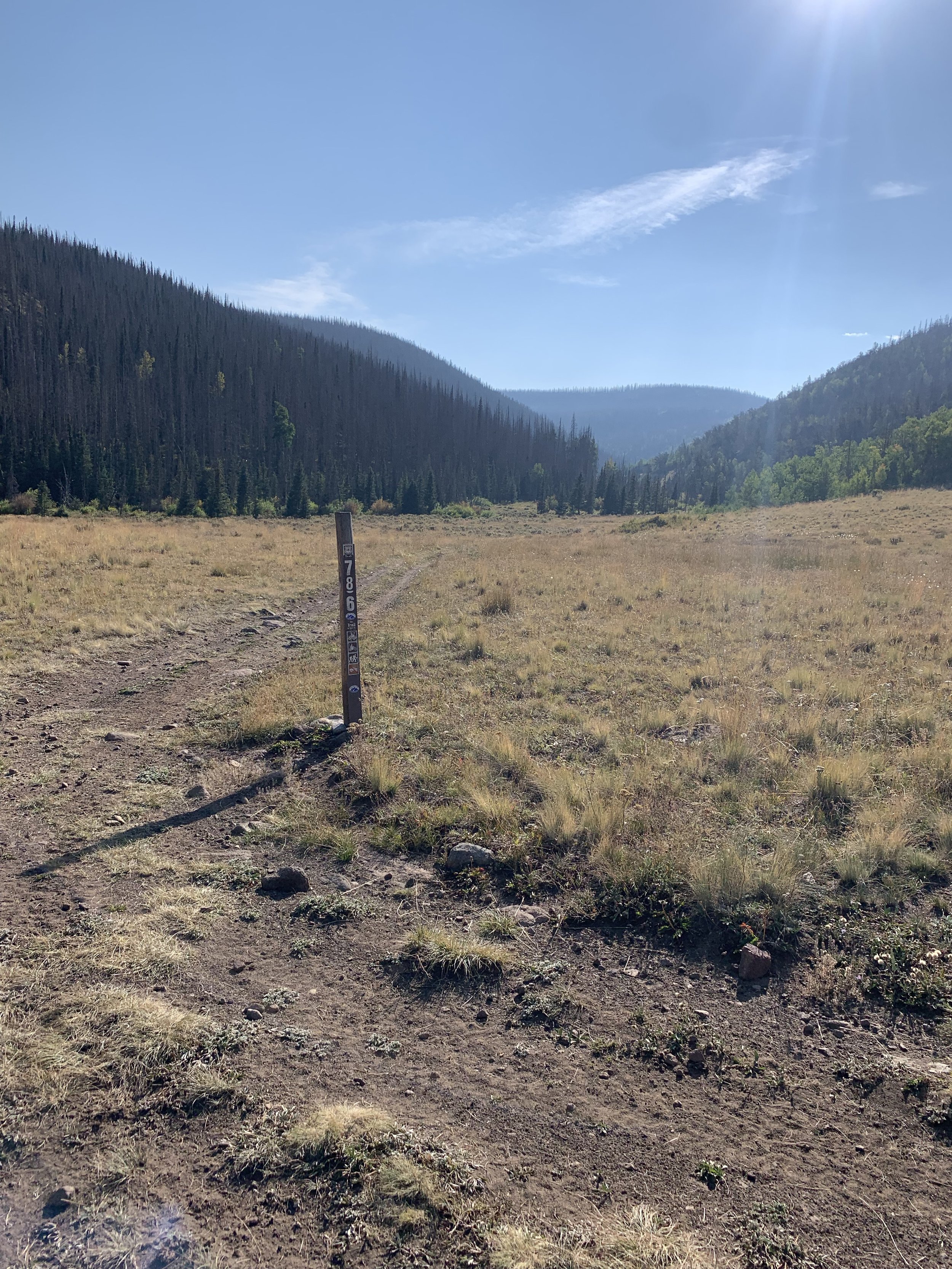
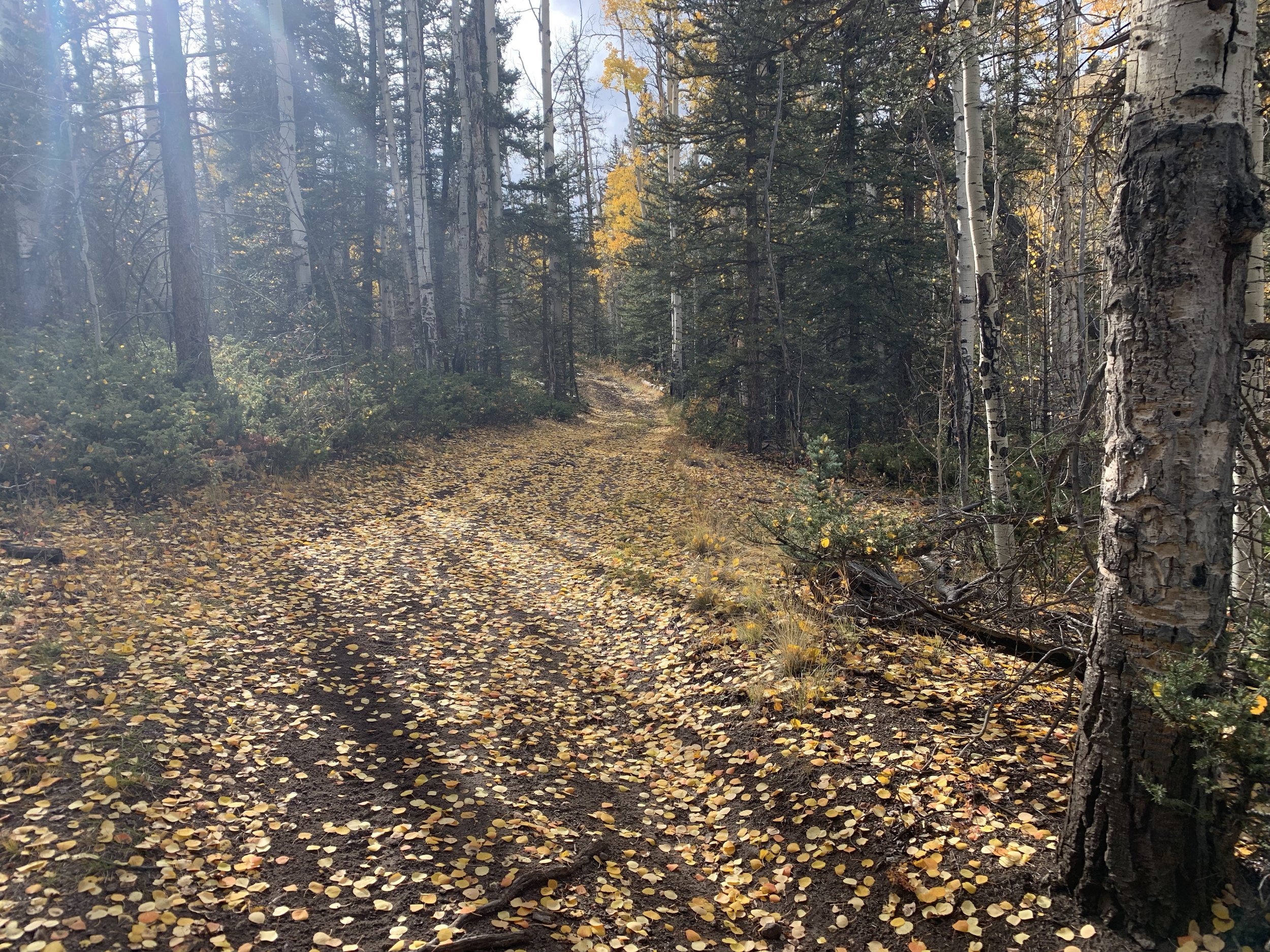
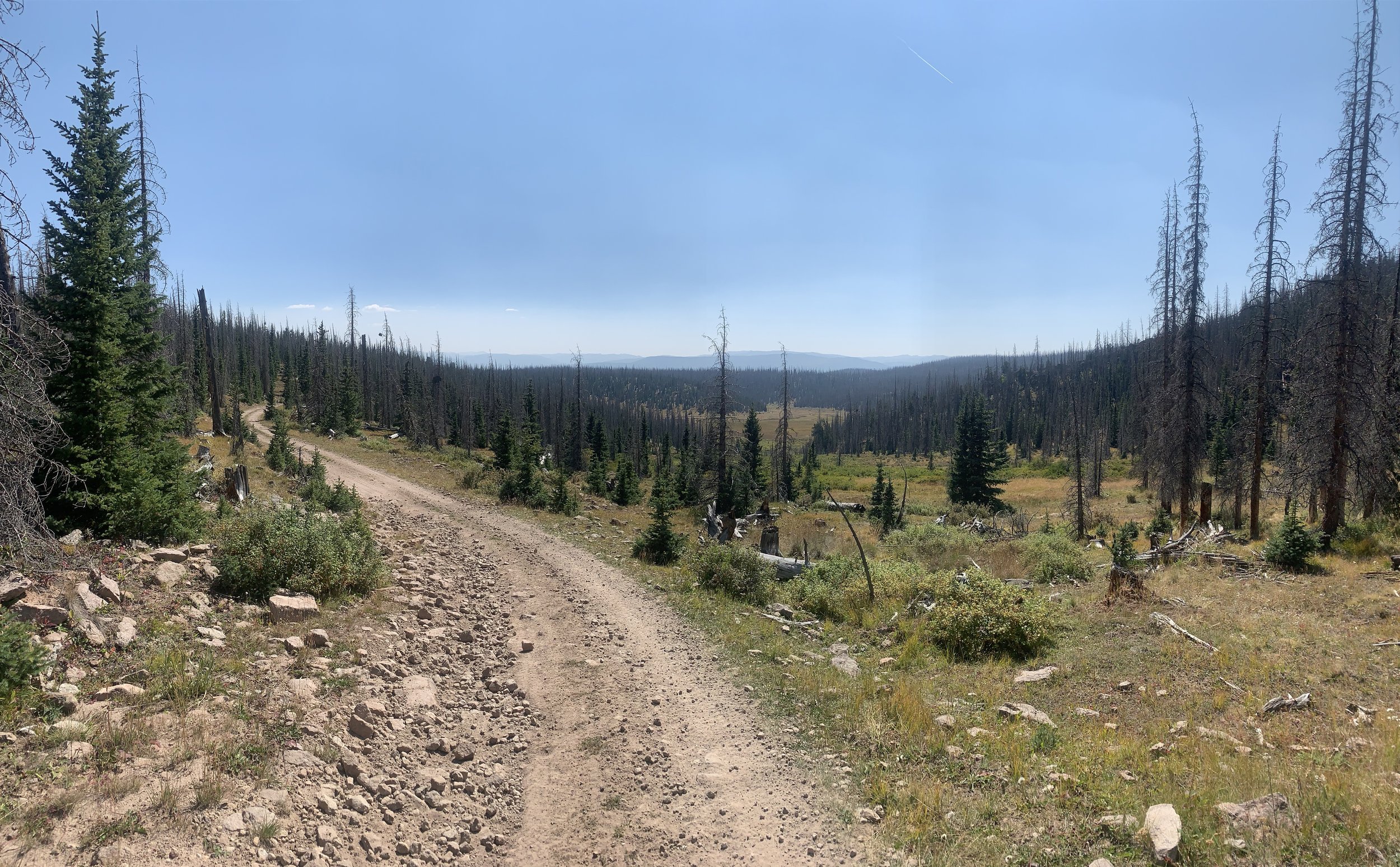
From Boot Mountain AS, which is at the T in the trails, you will follow the jeep trail for just over a mile. Then you will turn left onto La Garita Creek trail (793) which is an ATV trail. Follow it for about 2.5 miles where you will go right onto the Benino trail 786. In a little over .5 miles, you will again go left onto Ground Hog Creek Trail (795). In 2.25 miles when you come out into Groundhog Park, go right on the single track. This may be another area the cow trails may be abundant, so follow markers. In 1.5 miles you will come to a road (FR 650). Turn left and follow it for .25 miles or so and then turn right off the road onto Cathedral Trail (794). In about .5 miles another cowboy gate will block your way, please do as before and close it behind you. A little over 2.5 miles you will cross Embargo Creek, which will be bigger than Cathedral Creek you crossed a couple times in the last few miles. Immediately across Embargo Creek is Cathedral Camp Ground. There’s a pooper if you need it. Please be very quiet and respectful at night when going through the camp ground. Happy campers don’t complain to the forest service, who graciously allows us to have this race in the forest! Go straight passed the pooper and up a short hill to the road. Turn right on the road and go .5 miles to the Cathedral AS.
AS#7 - cathedral to AS#8 - pool table (12.1 miles)

Head up the 2 track jeep road .25 miles. Stay right on the Embargo Trail (792). In 5.7 miles turn left and stay on Embargo Trail (792) heading up hill. In just over .5 miles, turn left onto trail 787 La Garita Stock Driveway. In 4.3 miles stay left onto 787.1 La Garita cut off. In a little over one mile you will reach Pool Table AS.
AS#8 - pool table to AS#9 - alder (10.57)
Head down FR 630 for 1.5 miles. At the T turn right onto FR 611. In .5 miles you will pass FR 612 stay left/straight onto FR 611. 1.5 miles past FR 612, make a hard right onto FR E1. Then in .4 miles turn left off the road onto what used to be 611 1A (now just an overgrown old road). In 1.6 miles make a right onto FR 611 then an immediate left onto trail 797 Middle Alder Trail. In just under 5 miles you will hit the Alder AS.
AS#9 - alder to finish (4.31 miles)
Head down FR 610 and in 1.2 miles you will reach the Alder Guard Station. Continue down the road for about 2 miles. Then turn right onto the north river road and in one mile of amazingly smooth pavement you will reach the finish!