
Crews
While you are allowed crews, we have limited the areas in which you will have access to them. The decisions that we have made about this are for our runners safety and health and for environmental concerns, logistical reasons and because we are a bit old school. Runners do risk disqualification due to the actions of his/her crew. Your crew must not only be able to take care of you, but also themselves. The Wet Mountains do not have great cell service, so it’s best to assume you will not have service. Depending on your cell phone carrier, it is very hit or miss. It is best to have crew members that are not directionally challenged!
Crews
Ok crews, listen up! Your main goals are to keep your runner motivated, fueled and healthy so that he/she can cross that finish line. You cannot support them if you cannot find or get to them. Just as a runner has a plan, you need one as well. We have provided directions below, but here are some other helpful tips.
Assume you will not have cell service: Depending on your cellphone carrier, cell service is very hit and miss. Make sure that you have pulled up any maps you may need well ahead of time. Even our main roads and small towns in the area have limited cell service. Print out driving directions ahead of time! And dare I say it, carry a paper map as well.
Have a full tank of gas: We cannot stress this enough! Even though you may see a town on your map, many of the towns are so tiny they do not have gas stations. You can fill up in Pueblo, Walsenburg, Colorado City, Westcliffe and Beulah. There are NO gas stations in Rye, Gardner or San Isabel. To that end, tow trucks or AAA may take longer to get to you than it will take the runners to finish the race (ok, maybe not that bad but it’s not like they are around the corner either), so don’t run out of gas!
Be self-sufficient: In order to get from aid station to aid station, it will take you a few hours and there is little in between them. You should come prepared with food and water to get yourself through the race. As mentioned before, many of these towns are small and they roll up their sidewalks at 8 or 9pm. Don’t think that grocery stores or restaurants will be open, assuming that there even is a grocery store. Aid stations are for runners and pacers only. We will not feed you too.
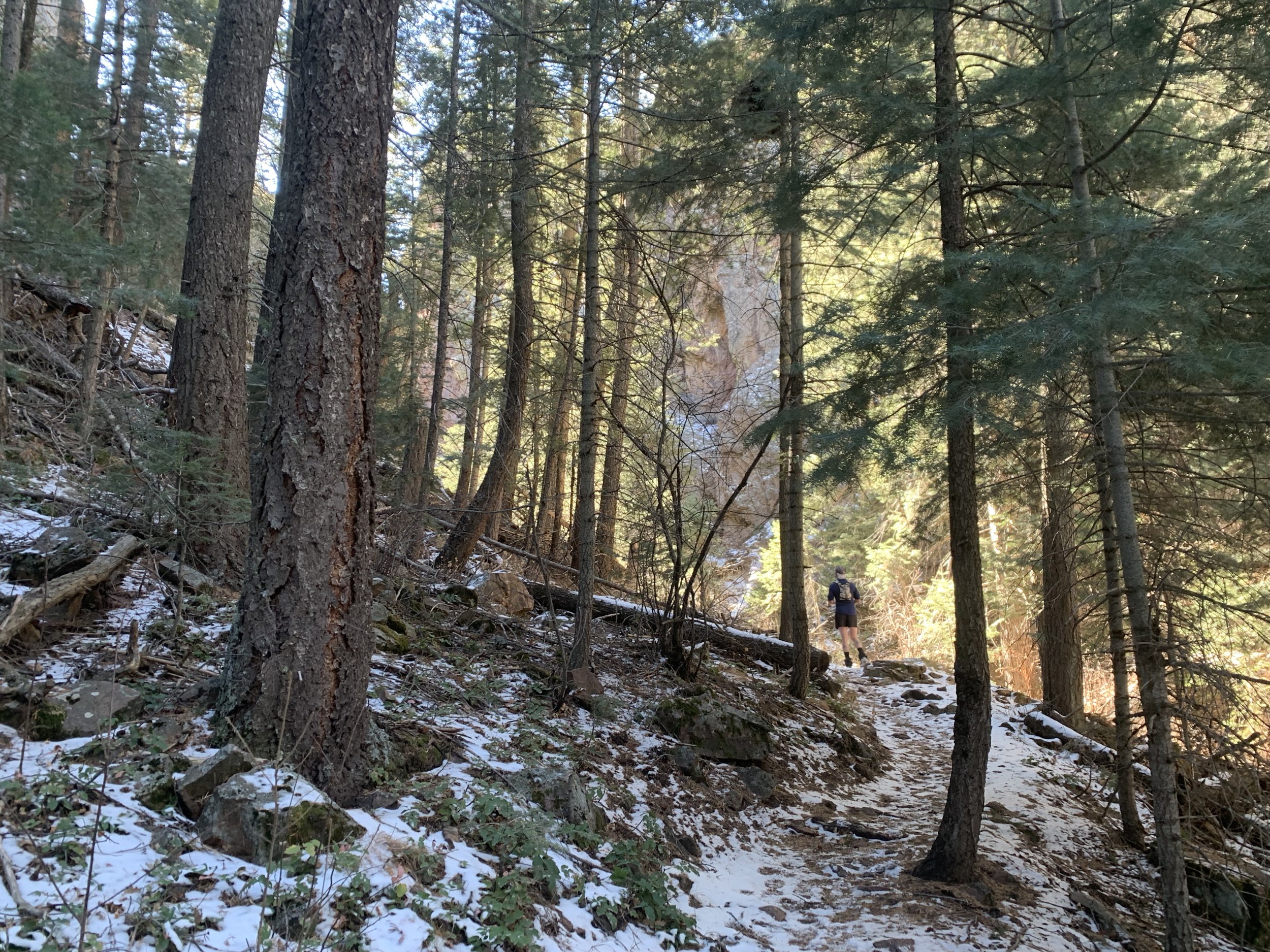
Vehicles: Once off the main roads you will be traveling on dirt roads. Some of them can be rough with washboards and rocks. Please drive responsibly and slowly. Although all crew accessible aid stations are attainable by car, they can be hard on tires. With that said, your crew should be familiar with changing a flat tire - AAA is hours away and you will miss your runner. No RVs at aid stations please. We have narrow roads, limited parking and small turn around areas. Also, one car per runner at the aid stations for the above stated reasons.
Speed limit: Our small towns take their speed limits seriously. You have been warned - unless you want to make a donation, it’s best to stick to the posted limit.
Parking: Roads and trailheads are still open to the public, so be courteous and do not block roadways. Please limit your parking to one side of the road and absolutely no parking in the grass off the roads. If a race volunteer asks you to move, please be respectful and listen.
Roads that are off limits: Now armed with a paper map of the area, your crew sits waiting for you at an aid station. With the map open they discover a short cut to the next aid station. Please, Please don’t do it! First, such a decision would likely put you on the race course and runners don’t want tons of cars going by them kicking up dust. Second, the line on the map most likely requires a more capable machine than your Hyundai Elantra rental car. Even if you’re in a jeep, please follow the given directions to aid stations. And third, your runner will be at risk of disqualification because his/her crew didn’t follow rules. We did our best to keep rules to a minimum.
The prevention of invasive species: The USDA Forest Service requires that vehicles be washed prior to entering forest service boundaries to help with the prevention of invasive species in the area.
Dogs: Dogs must be on a leash at all times and never left unattended. Dogs are not allowed within close proximity of aid station tents and all waste must be picked up. Barking, aggressive, or otherwise disruptive dogs may result in you being asked to leave the aid station. If rules are not followed, your runner will be at risk of disqualification.
Special Needs: If you have members in your crew with special needs, please contact us before the race. We will do our best to work with you to meet those needs.
directions
Start: Located just 26 miles from the city of Pueblo, 70 miles from Colorado Springs and 140 miles from Denver.
Pueblo Mountain Park: 9112 Pueblo Mountain Park Road; Beulah, CO 81023

If coming from Denver or Colorado Springs, exit I25 onto highway 50 west toward Canyon City. In 2.2 miles keep left on the left hand exit, then go 0.4 miles and turn left onto North Pueblo Blvd. In 5.4 miles turn right onto W Northern Ave (Hwy 78). In 21 miles, as you enter Beulah, keep an eye out for the brown sign for Pueblo Mountain Park. Keep left at the fork turning onto Pine Drive. In 1.4 miles take a slight left turn onto South Pine Drive. If you are following a GPS it may guide you into the back entrance, but please go a little farther to the main entrance where there is a Pueblo Mountain Park sign. Make a right into the park and follow the signs to the Horseshoe Lodge. Please follow signs and race volunteers direction for parking. For solo style runners leaving cars at the mountain park for the duration of the race, we will have you park in a different area.
If coming from the south, exit I25 onto West Pueblo Blvd. In 2.4 miles turn left onto Surfwood Lane. In 0.6 miles turn left onto Hwy 78. In 21 miles, as you enter Beulah, keep an eye out for the brown sign for Pueblo Mountain Park. Keep left at the fork turning onto Pine Drive. In 1.4 miles take a slight left turn onto South Pine Drive. If you are following a GPS it may guide you into the back entrance, but please go a little farther to the main entrance where there is a Pueblo Mountain Park sign. Make a right into the park and follow the signs to the Horseshoe Lodge. Please follow signs and race volunteers direction for parking. For solo style runners leaving cars at the mountain park for the duration of the race, we will have you park in a different area.
Aid Station Directions: If you are looking at a map there are other routes, but please follow our directions because many of the “roads” are 4WD only and not passable depending on weather and vehicle type. Also this is to keep traffic off the race course for the safety of your runner.
Pueblo Mountain Park to AS#2 - Greenhorn: Miles: 31.1 miles (only 3.5 miles is paved, the rest is bumpy dirt roads with low speed limits) - Time: 1hrs 30mins to 2hrs
The runners will be running up Hwy 78 for 4 miles, so please hold off leaving the start for an hour to allow runners to get to the trail turn off for safety. This would be a great time to head into Beulah for some breakfast or coffee. Check out the Dining & Lodging page for our suggestions!
As you exit the main entrance of the Pueblo Mountain Park, go right on S Pine Drive (Hwy 78). Follow the windy dirt road 9.7 miles, then turn right onto Hwy 165. In 3.5 miles, turn left onto Ophir Creek Road (FR 360) and in 1.2 miles stay left to continue on Ophir Creek Road (FR 360). Travel 7 miles, then turn left onto FR 369. Continue 9.7 miles to the Greenhorn AS on your right.
AS#2 - Greenhorn to Unofficial AS (South Creek TH) or to AS#4 - Second Mace: Miles: XXX Time: 1hr 10mins
From Greenhorn AS, go back down FR 369 for 9.7 miles. Turn right onto FR 360 (Ophir Creek Road) and go 8.2 miles to HWY 165. Turn right. If you are going directly to AS#4 Second Mace, then go 1.3 miles and turn left onto FR 382 towards Davenport Campground. Go 1.3 miles where the aid station will be on your left just before the campground. Please park single file on the right side of the road as you are traveling in to the aid station. Do not park on both sides of the road. If you are going to the Unofficial AS (South Creek TH), then after turning onto HWY 165, drive about 2.7 miles to a left turnoff to South Creek TH. Or you can stop about 600ft before this turnoff at the Saint Charles TH where there is a small pull off spot on the left side off the road. Please watch for runners on the road. You can crew your runner here.
Unofficial AS (Lion Park) to AS4 - Second Mace: Turn right (north) on HWY 165 and go 1.4 miles. Turn right on FR 382 towards Davenport Campground. Go 1.3 miles where the aid station will be on your left just before the campground. Please park single file on the right side of the road as you are traveling in to the aid station. Do not park on both sides of the road.
AS#4 - Second Mace to Finish (Pueblo Mountain Park): Miles: 11.8 - Time: 30mins
Drive back up FR 382 for 1.3 miles to HWY 165. Turn left on HWY 165 and drive 2.1 miles. Turn left onto HWY 78 (dirt road - S Pine Drive) and go 9.7 miles to the main entrance of the Pueblo Mountain Park on your left.