
Crews and Pacers
While you are allowed pacers and crews, we have limited the areas in which you will have access to both. The decisions that we have made about this are for our runners safety and health and for environmental concerns, logistical reasons and because we are a bit old school. Runners do risk disqualification due to the actions of his/her crew and pacers. We recommend that you choose experienced pacers that can handle distance and tough terrain. This is not a race where you can swap out pacers every 5 miles. Your pacers will need to be able to go the distance with you. The same can be said of your crew. Your crew must not only be able to take care of you, but also themselves. Creede and the surrounding San Juan Mountains do not have great cell service, so it’s best to assume you will not have service. Depending on your cell phone carrier, it is very hit or miss. It is best to have crew members that are not directionally challenged!
Pacers
Runners are allowed to pick up pacers starting at the Lost Trail Aid Station #5 at mile 55.67. Pacers must pick-up a pacer bib and sign a waiver. At this time, pacers are required to show their CORSAR card.
Pacer Locations:
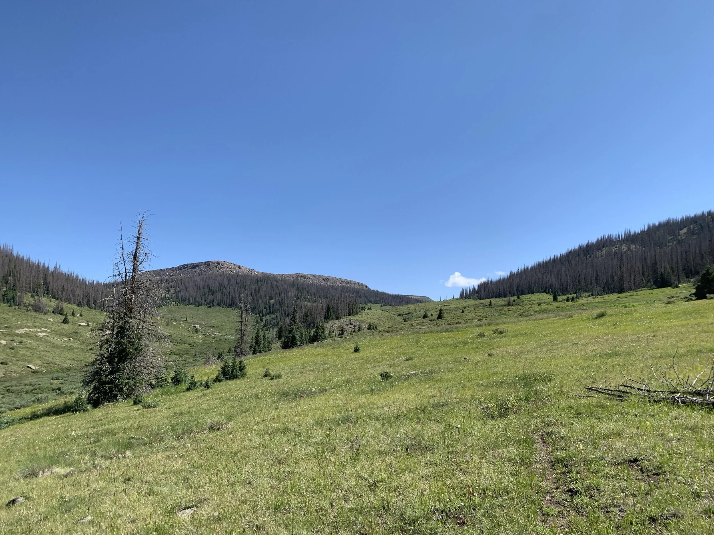
Lost Trail Aid Station #5 (mile 45.85) - Make sure to choose an experienced and trained pacer at this location for he/she will be with you for the next 24.78 miles.
Spring Creek Aid Station #8 (mile 80.45)
Willow Creek Aid Station #9 (mile 91.85)
Pacer Rules:
Pacers must present his/her CORSAR card while obtaining a pacer bib.
Pacers must wear bib at all times
Pacers must sign a waiver
Pacers cannot be picked up or dropped off at non-crew aid stations (only at pacer locations)
No muling - runner must carry his/her own gear
Only one pacer per runner
Crews
Ok crews, listen up! Your main goals are to keep your runner motivated, fueled and healthy so that he/she can cross that finish line. You cannot support them if you cannot find or get to them. Just as a runner has a plan, you need one as well. We have provided directions below, but here are some other helpful tips.
Assume you will not have cell service: Depending on your cellphone carrier, cell service is very hit and miss. Make sure that you have pulled up any maps you may need well ahead of time. Even our main roads and small towns in the area have limited cell service. Print out driving directions ahead of time! And dare I say it, carry a paper map as well.
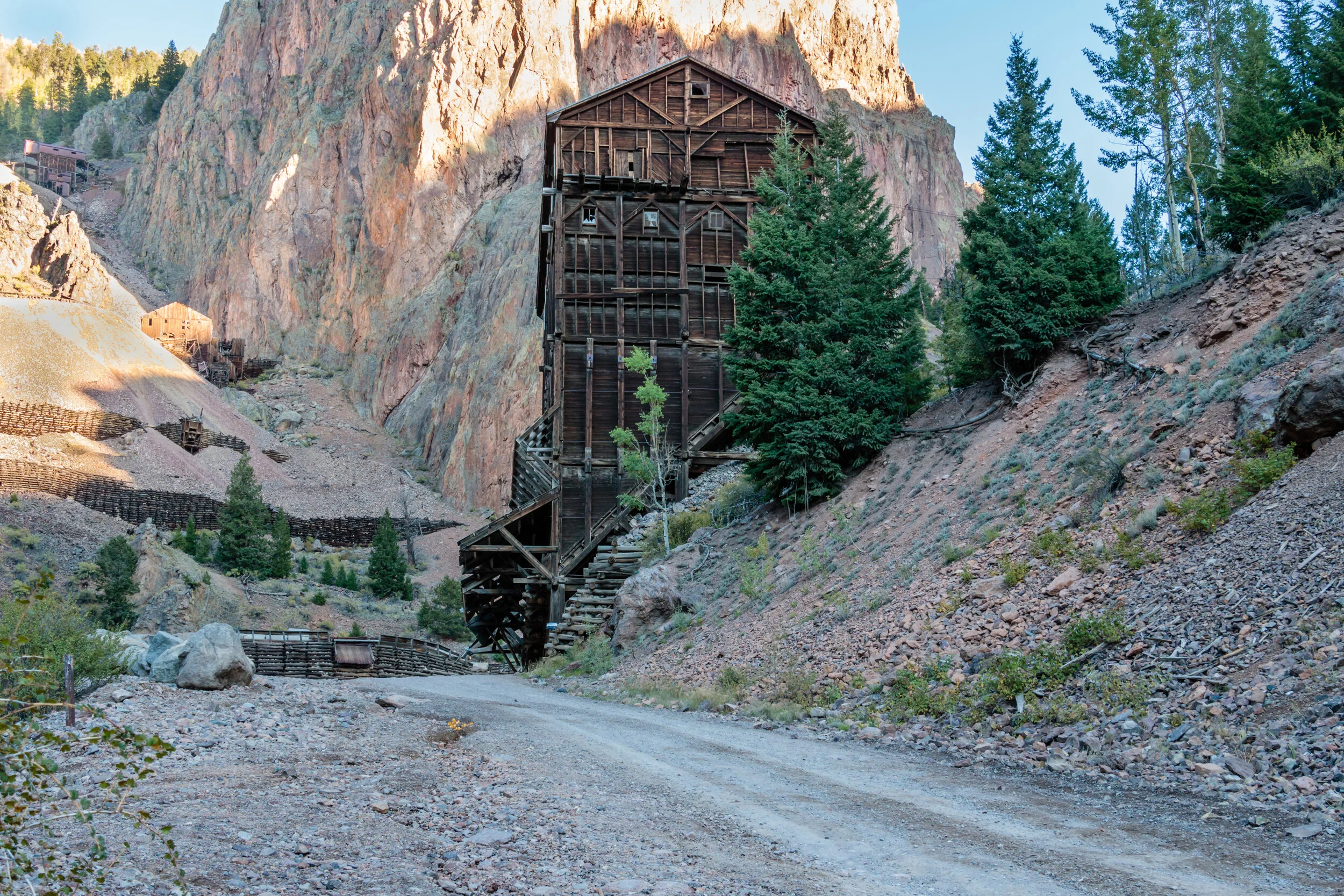
Have a full tank of gas: We cannot stress this enough! Even though you may see a town on your map, many of the towns are so tiny they do not have gas stations. You can fill up in South Fork, Creede and Lake City. To that end, tow trucks or AAA may take longer to get to you than it will take the runners to finish the race (ok, maybe not that bad but it’s not like they are around the corner either), so don’t run out of gas!
Be self-sufficient: In order to get from aid station to aid station, it will take you a few hours and there is little in between them. You should come prepared with food and water to get yourself through the race. As mentioned before, many of these towns are small and they roll up their sidewalks at 8 or 9pm. Don’t think that grocery stores or restaurants will be open, assuming that there even is a grocery store. Aid stations are for runners and pacers only. We will not feed you too.
Vehicles: Once off the main roads you will be traveling on dirt roads. Some of them can be rough with washboards and rocks. Please drive responsibly and slowly. Although all crew accessible aid stations are attainable by car, they can be hard on tires. With that said, your crew should be familiar with changing a flat tire - AAA is hours away and you will miss your runner. No RVs at aid stations please. We have narrow roads, limited parking and small turn around areas. Also, one car per runner at the aid stations for the above stated reasons.
Speed limit: Our small towns take their speed limits seriously. You have been warned - unless you want to make a donation, it’s best to stick to the posted limit.
Parking: Roads and trailheads are still open to the public, so be courteous and do not block roadways. Please limit your parking to one side of the road and absolutely no parking in the grass off the roads. If a race volunteer asks you to move, please be respectful and listen.
The prevention of invasive species: The USDA Forest Service requires that vehicles be washed prior to entering forest service boundaries to help with the prevention of invasive species in the area.
Dogs: Dogs must be on a leash at all times and never left unattended. Dogs are not allowed within close proximity of aid station tents and all waste must be picked up. Barking, aggressive, or otherwise disruptive dogs may result in you being asked to leave the aid station. If rules are not followed, your runner will be at risk of disqualification.
Special Needs: If you have members in your crew with special needs, please contact us before the race. We will do our best to work with you to meet those needs.
directions
Start: Town of Creede, CO (right behind the Kentucky Belle Market)
Aid Station Directions:
Start in Creede to AS#2 - Spring Creek: Miles: 33.21 miles (paved road) - Time: 40 mins
As you leave the starting area, head south on Loma St. for 0.55 miles. You will turn right onto highway 149. Follow highway 149 towards Lake City for 32.65 miles where you will turn left into the Spring Creek Pass Information Site (just before mile marker 55 and where the Continental Trail crosses the highway).
AS#2 - Spring Creek to AS#5 - Lost Trail: Miles: 31.3 (13.1 miles paved and 18.2 miles dirt road) - Time: 1hr 15mins to 1hr 30 mins
From Spring Creek AS turn right onto highway 149. Drive 13.1 miles then turn right onto FR 520 towards Rio Grande Reservoir. Stay on FR 520 for 18.2 miles. You will pass Road Canyon Reservoir and Rio Grande Reservoir before coming to the Lost Trail AS on your right at the Lost Trail trailhead.
AS#5 - Lost Trail to AS#8 - Spring Creek: Miles: 31.3 (13.1 miles paved and 18.2 miles dirt road) - Time: 1hr 15mins to 1hr 30 mins
Reverse the directions above
AS#8 - Spring Creek to AS#9 - Willow Creek: Miles: 10.8 (6.2 mies paved and 4.6 miles dirt road) - Time: 30 mins
From Spring Creek AS turn right onto highway 149 and drive 6.2 miles. You will turn left onto FR 532 (just before North Creek Falls). If you pass the entrance to North Creek Falls viewing area you have gone too far. FR 532 is directly across from the Fisherman Parking area. You will have to drive your vehicle across a small stream right after turning onto FR 532. Travel 4.6 miles and turn left on to an unmarked road. Willow Creek AS will be 0.1 miles further at the 881 trailhead.
AS#9 - Willow Creek to Finish: Miles: 31.6 (4.6 miles dirt road and 27 miles paved) - Time: 1 hr
From Willow Creek AS drive the 0.1 miles back to FR 532. Turn right and go 4.6 miles to highway 149. Turn left onto highway 149 and drive 27 miles toward Creede. Turn left onto Loma St. and go 0.55 miles to the start/finish area.