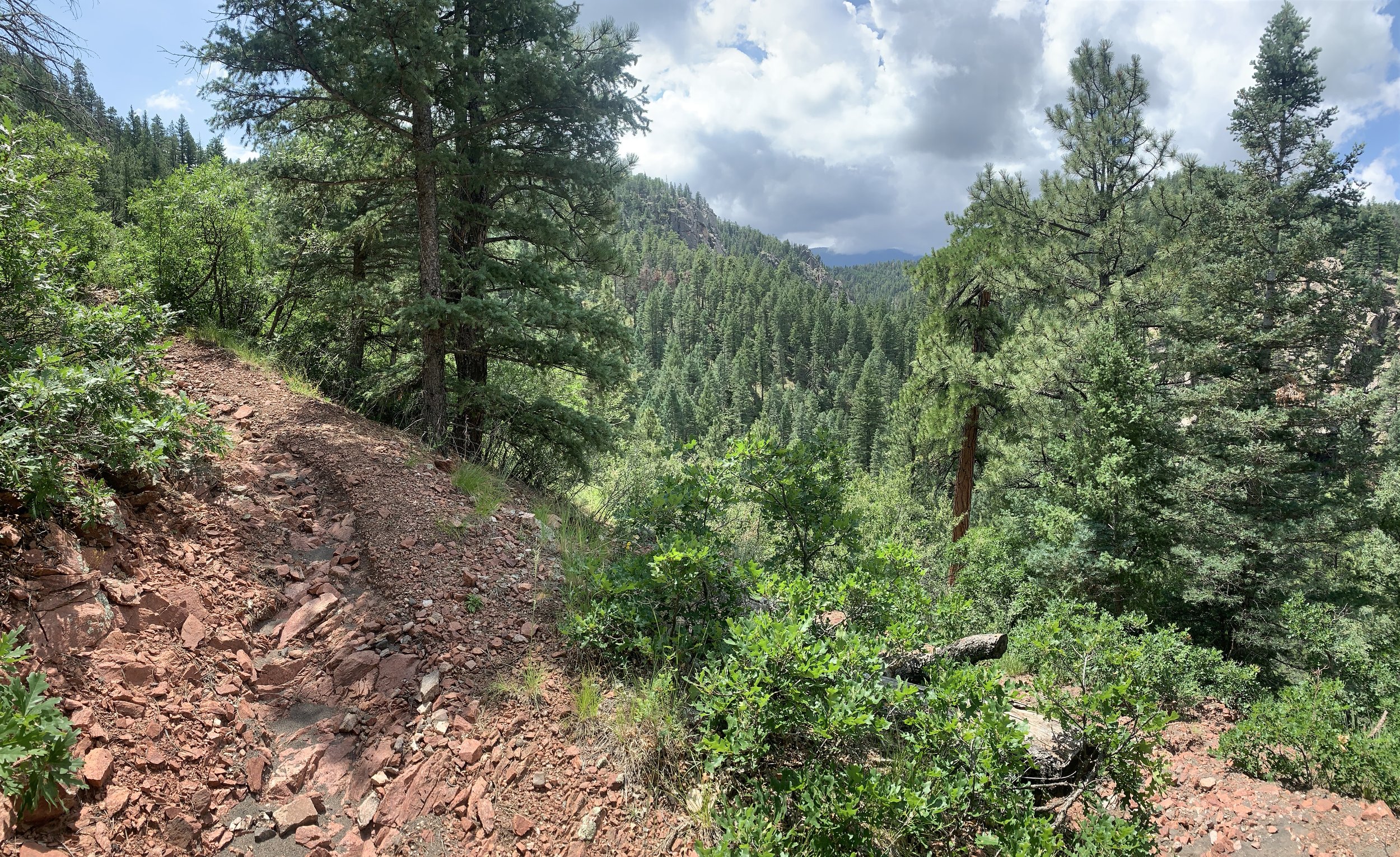
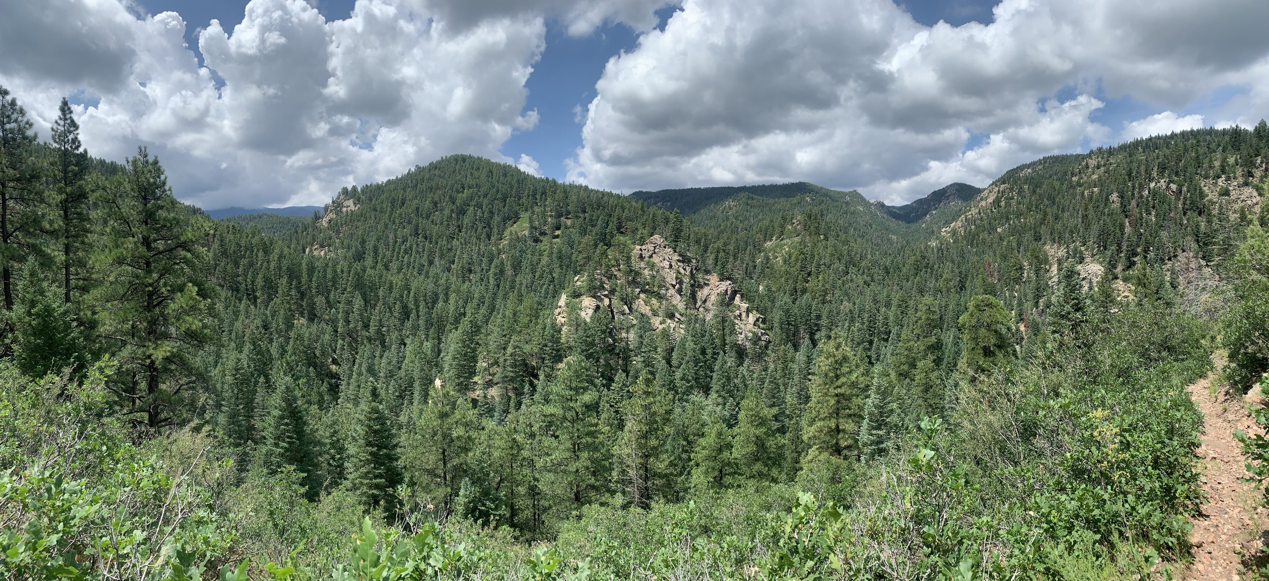
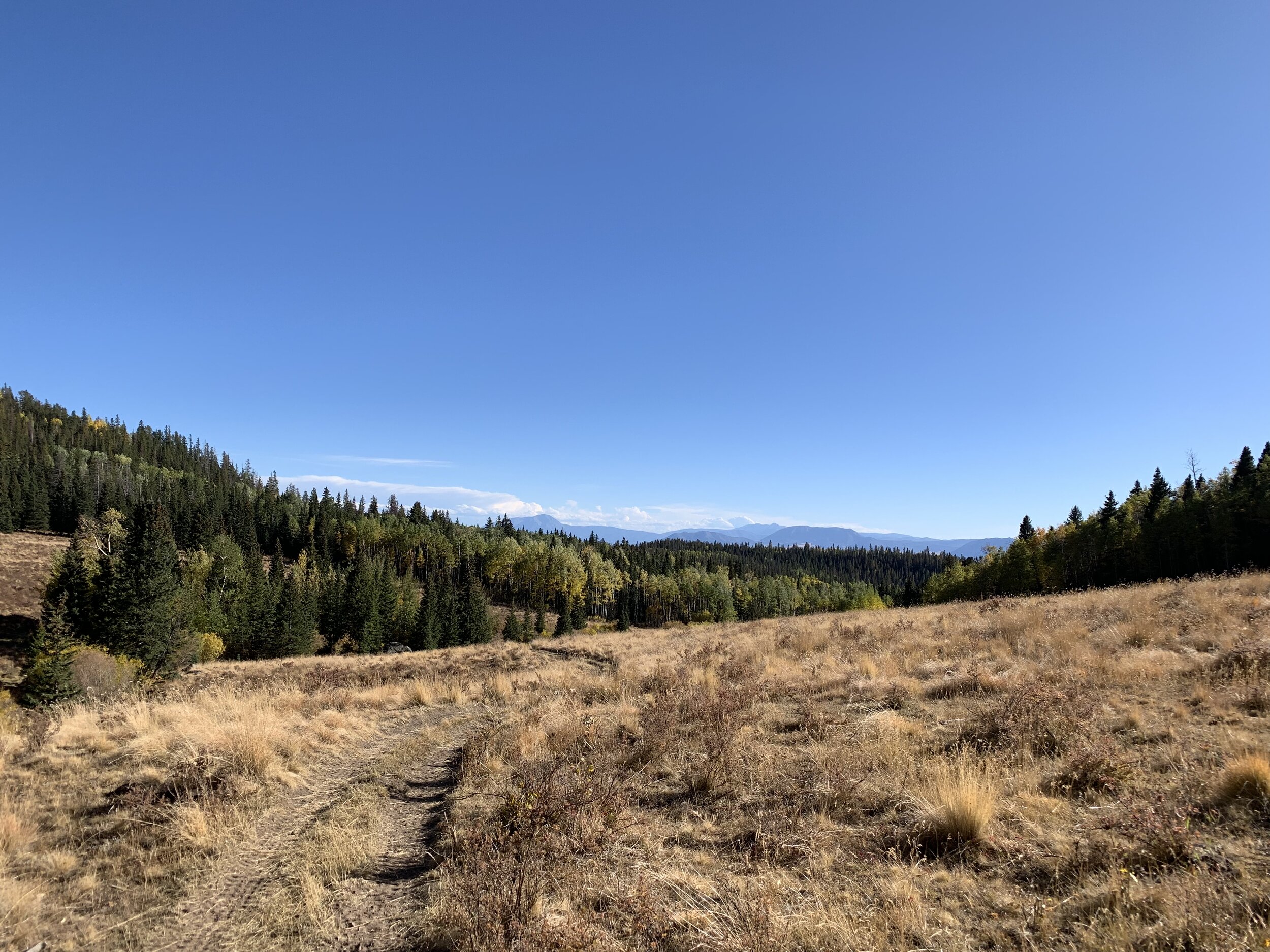
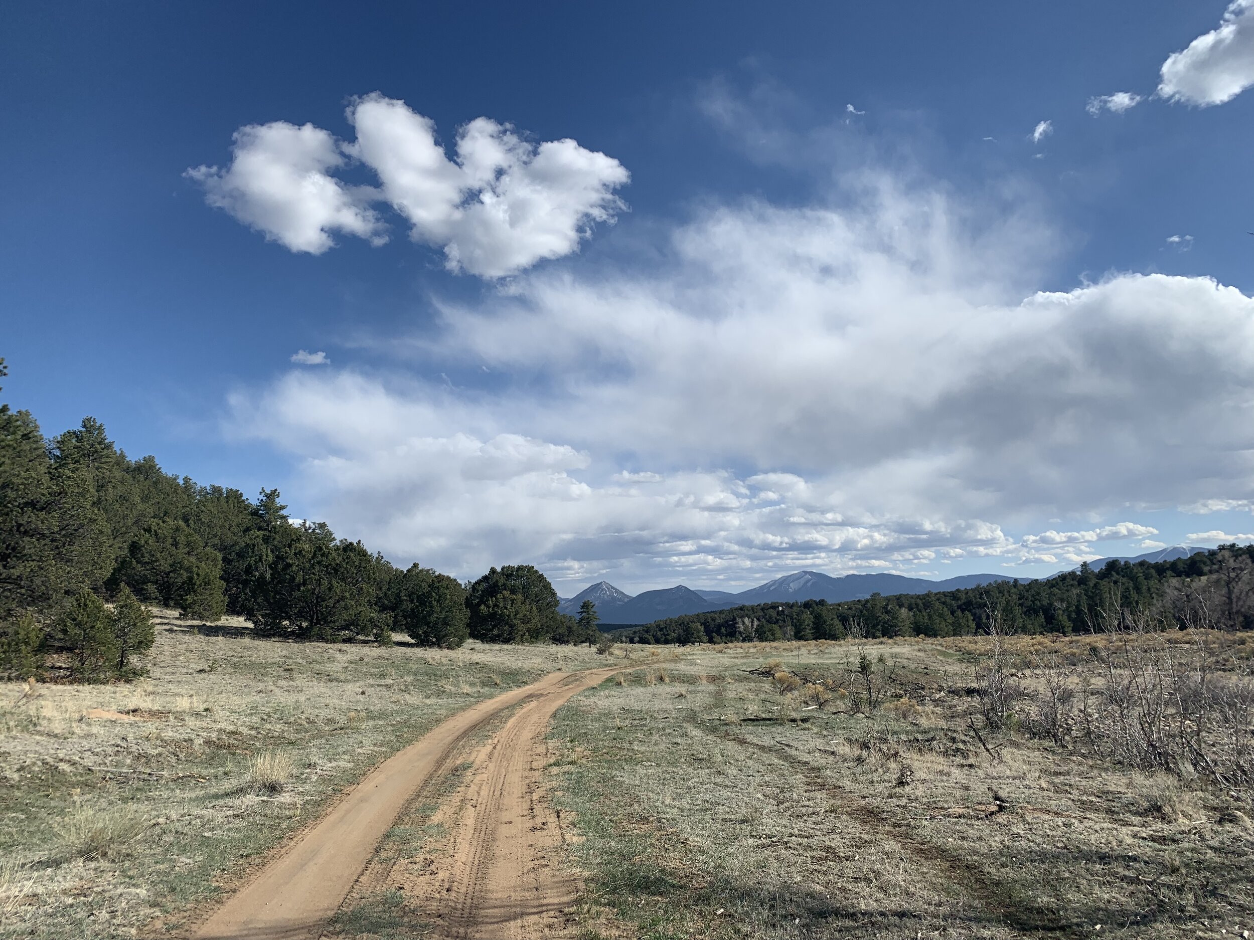
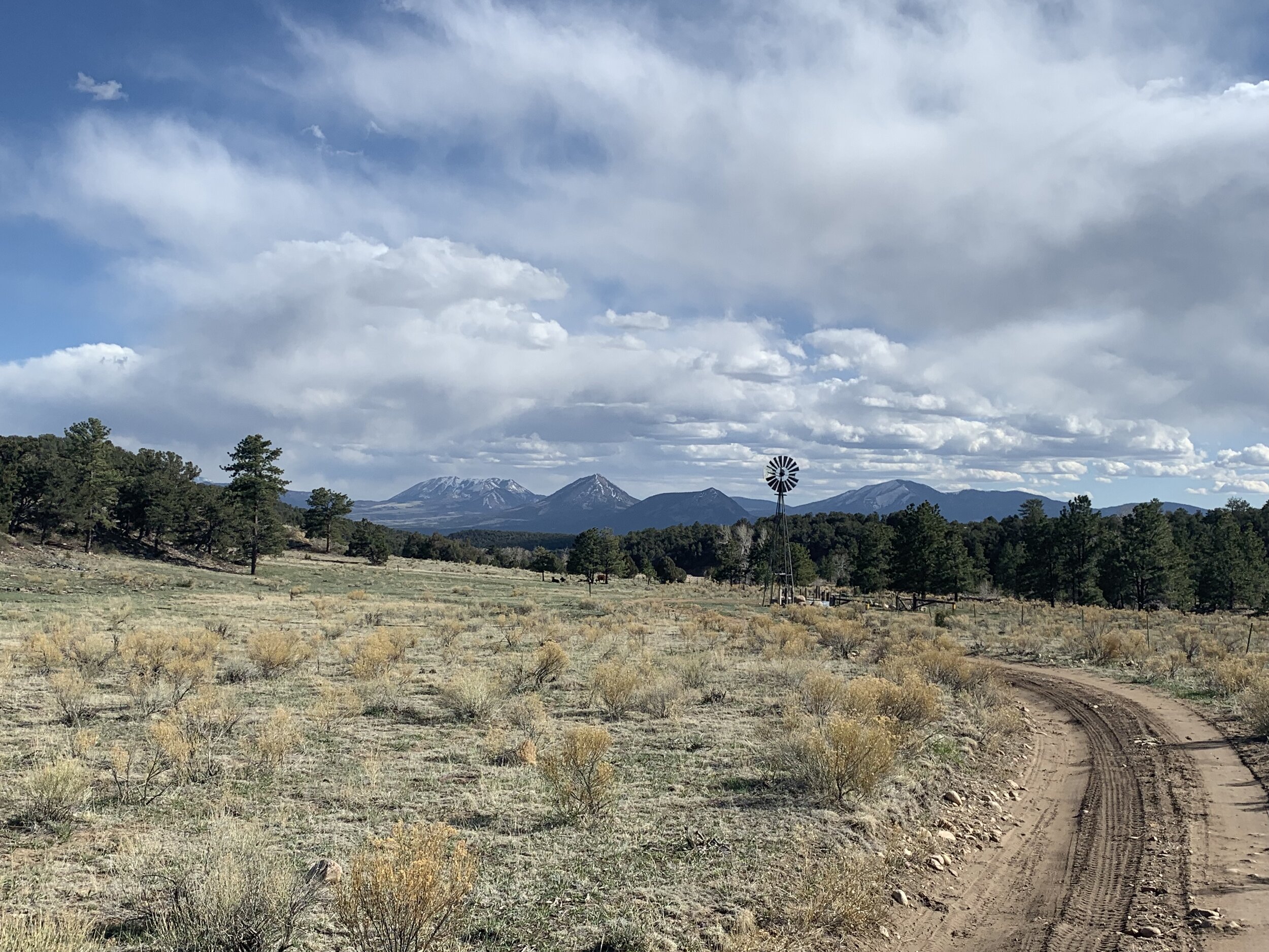
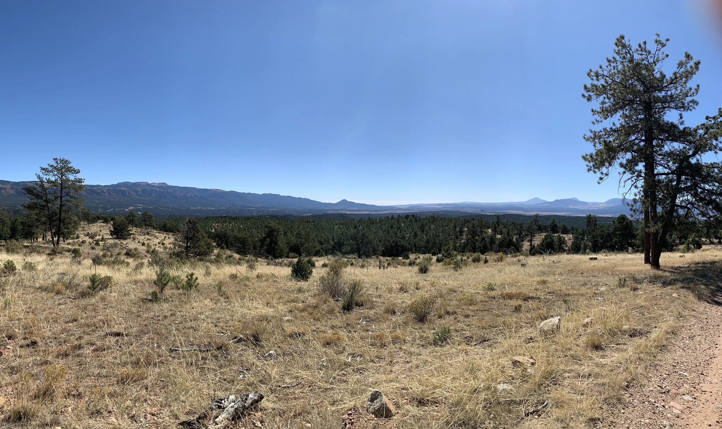
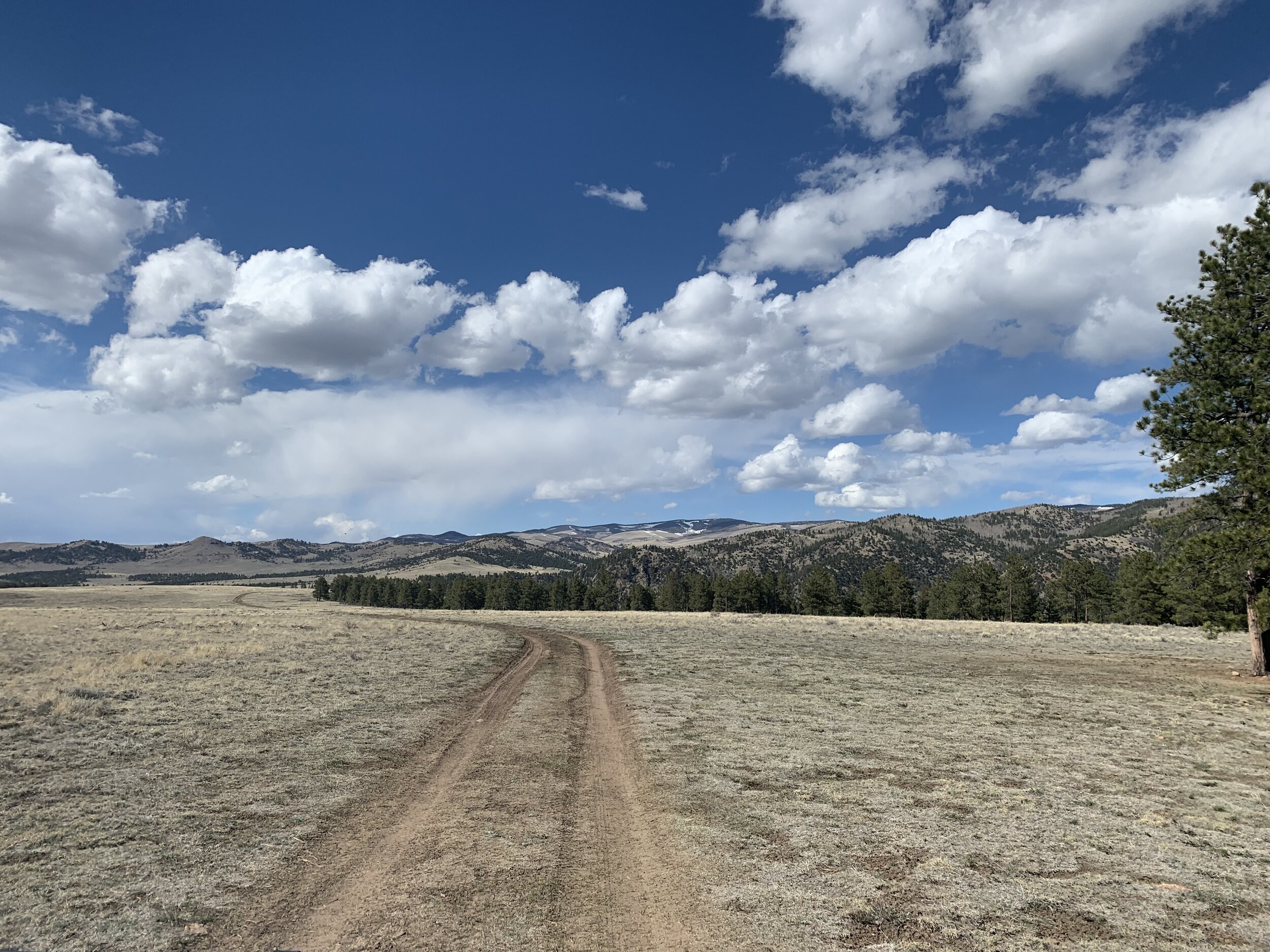
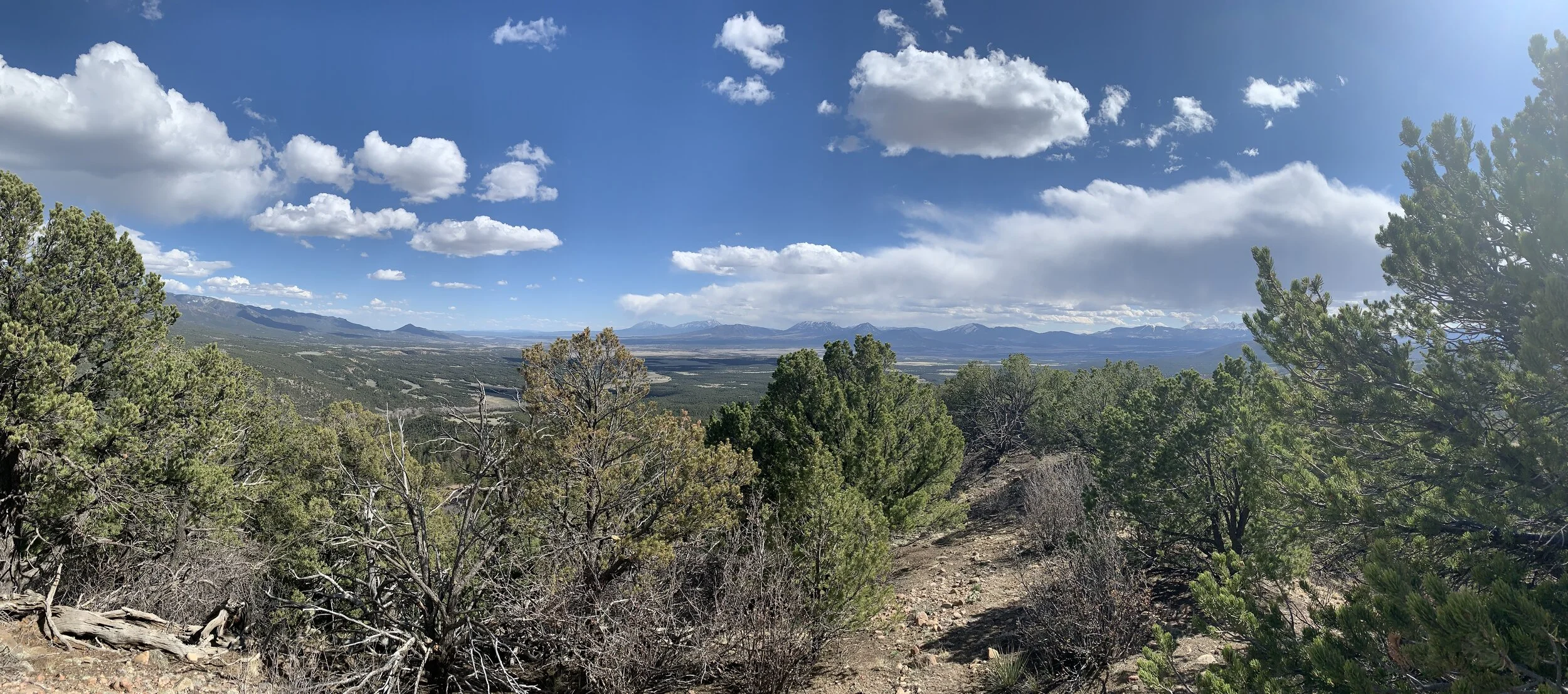
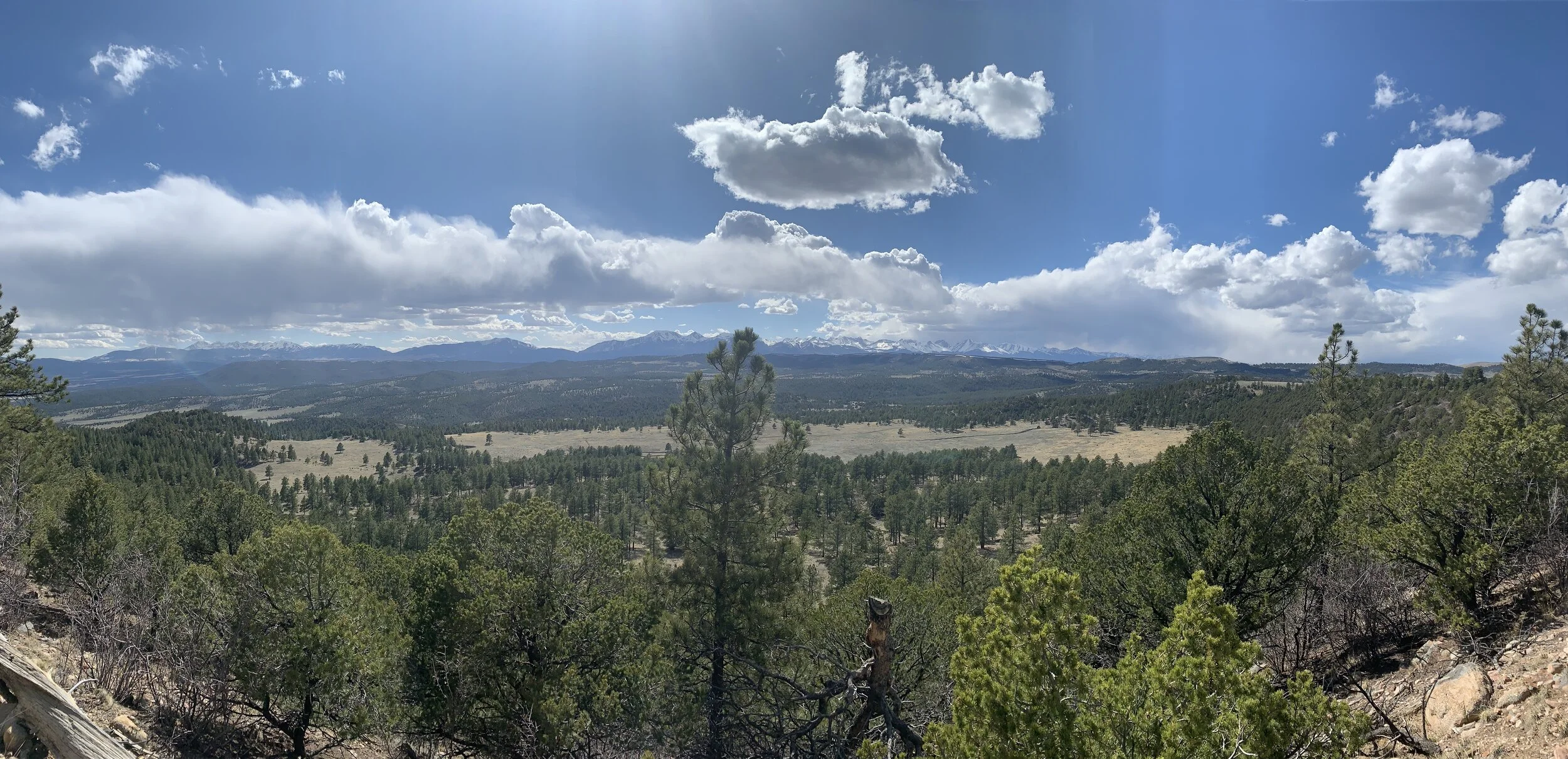
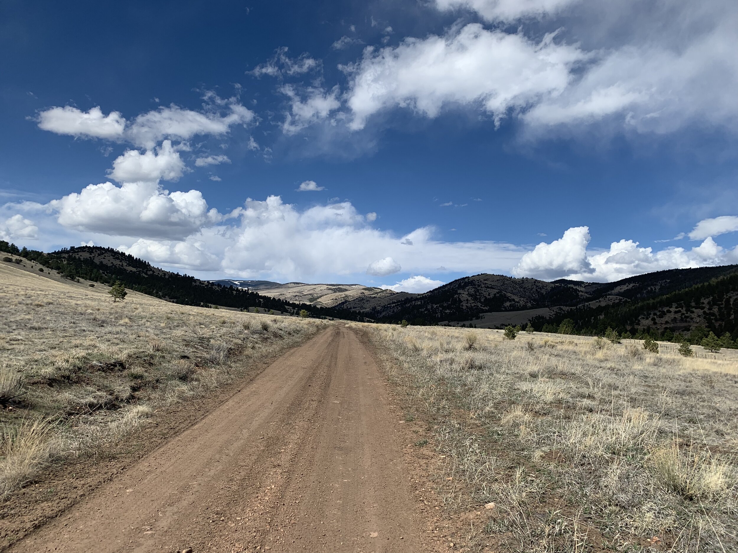
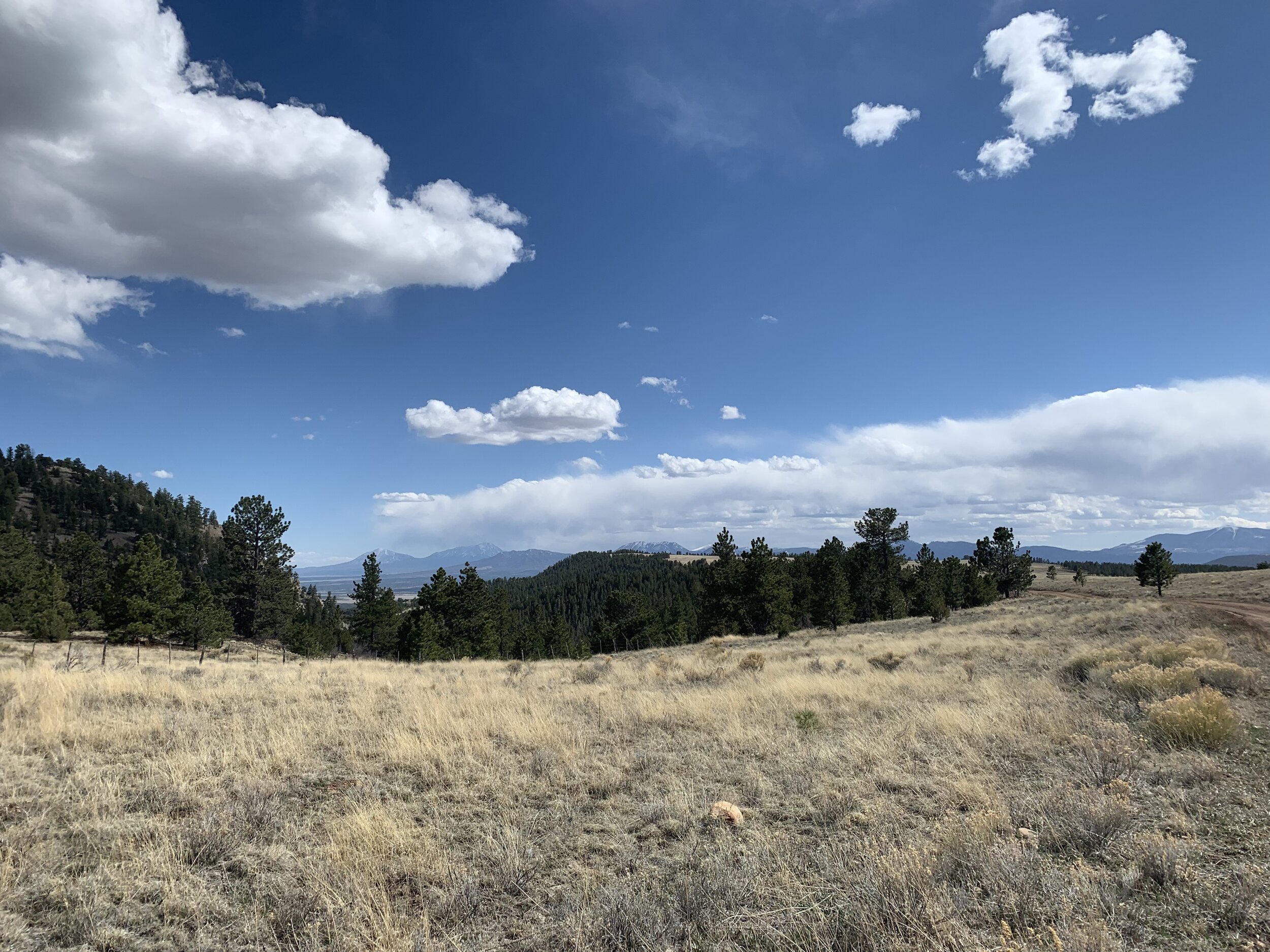
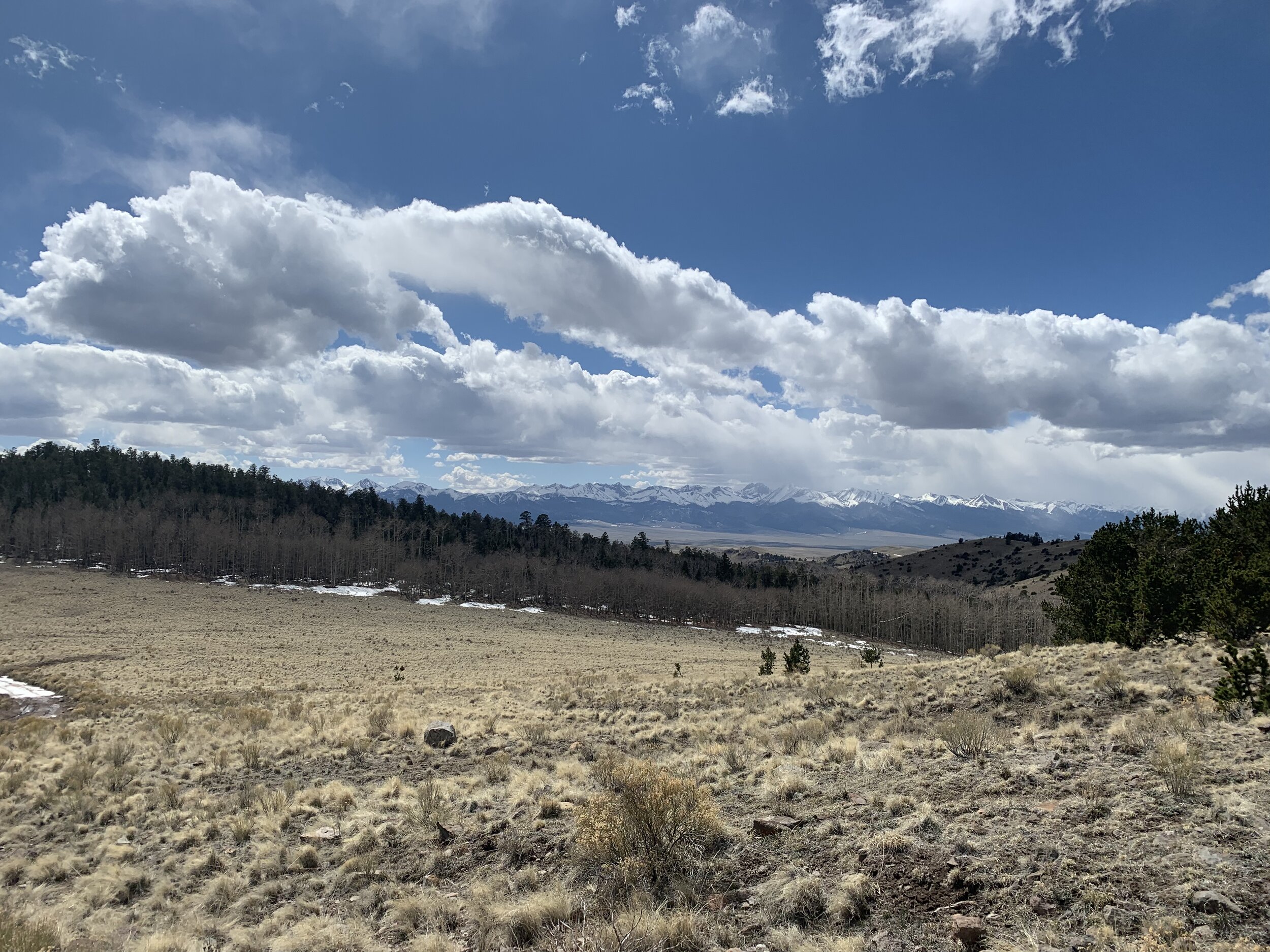
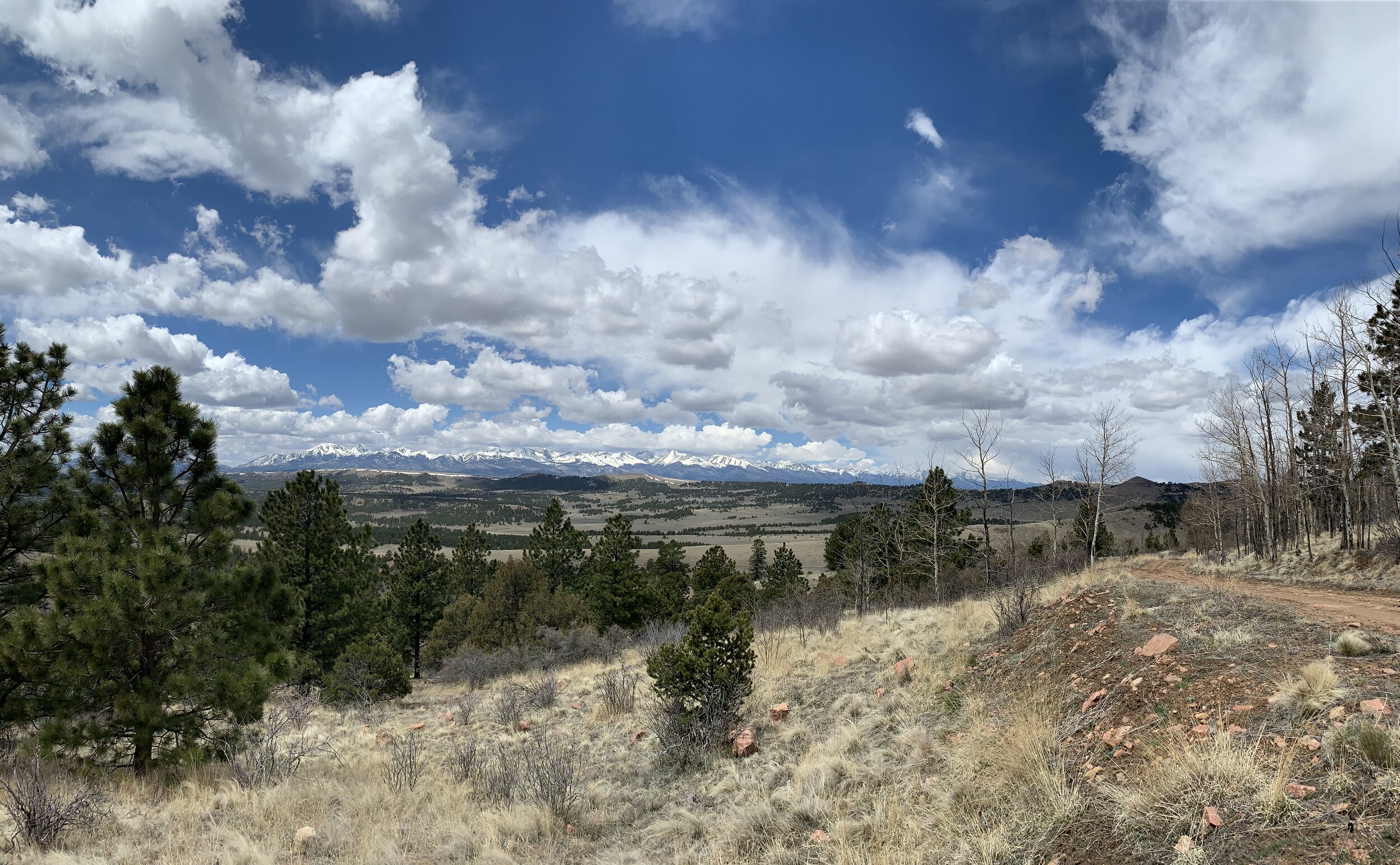
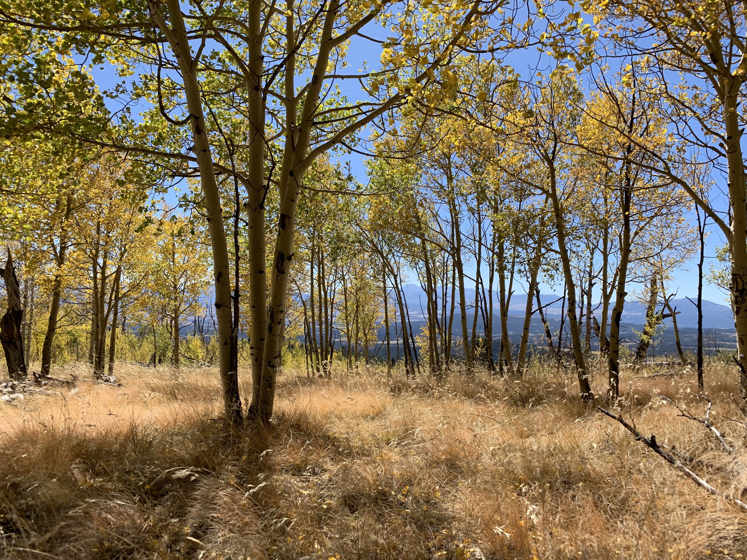
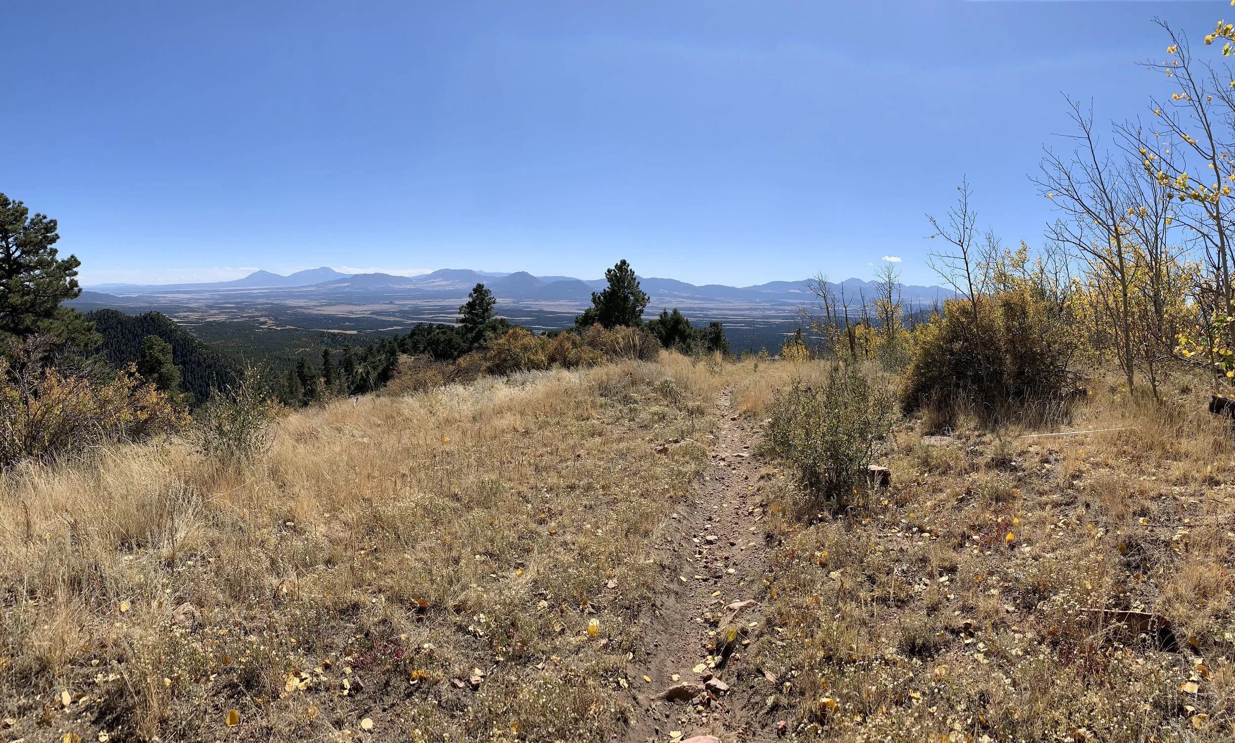
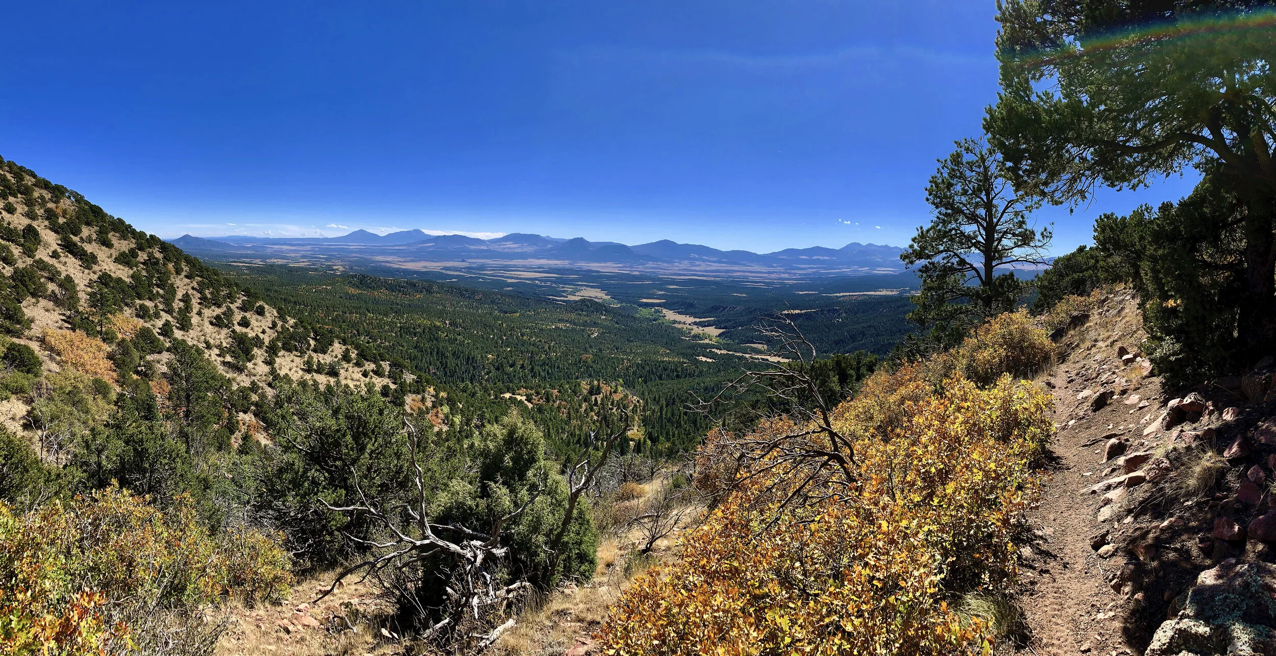
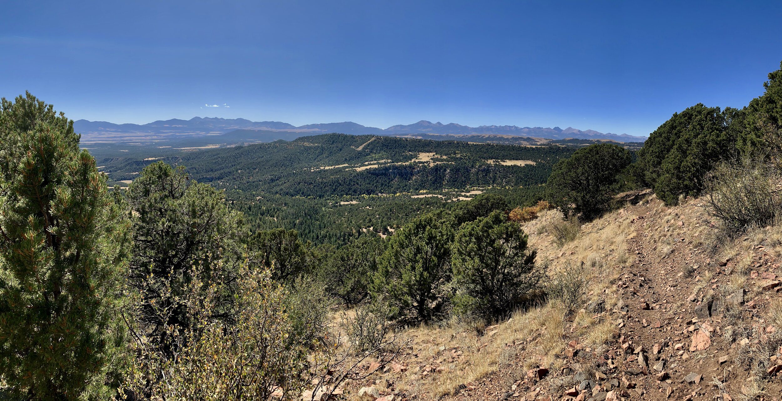
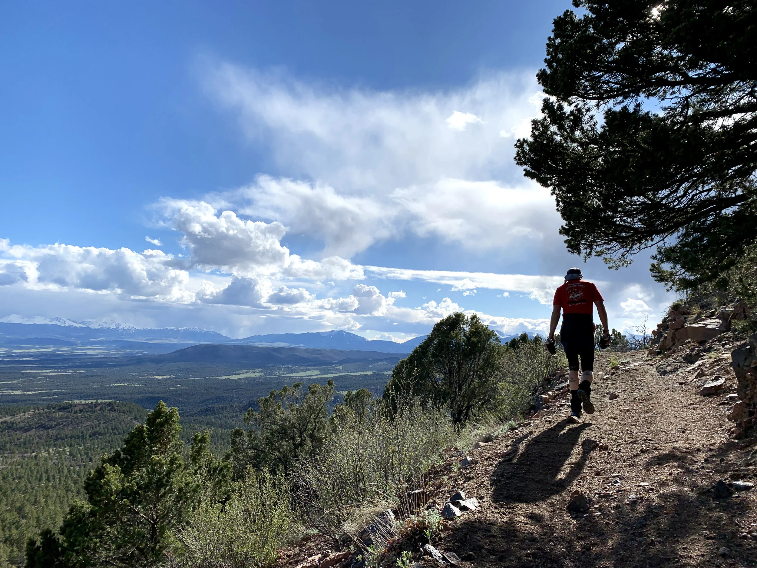
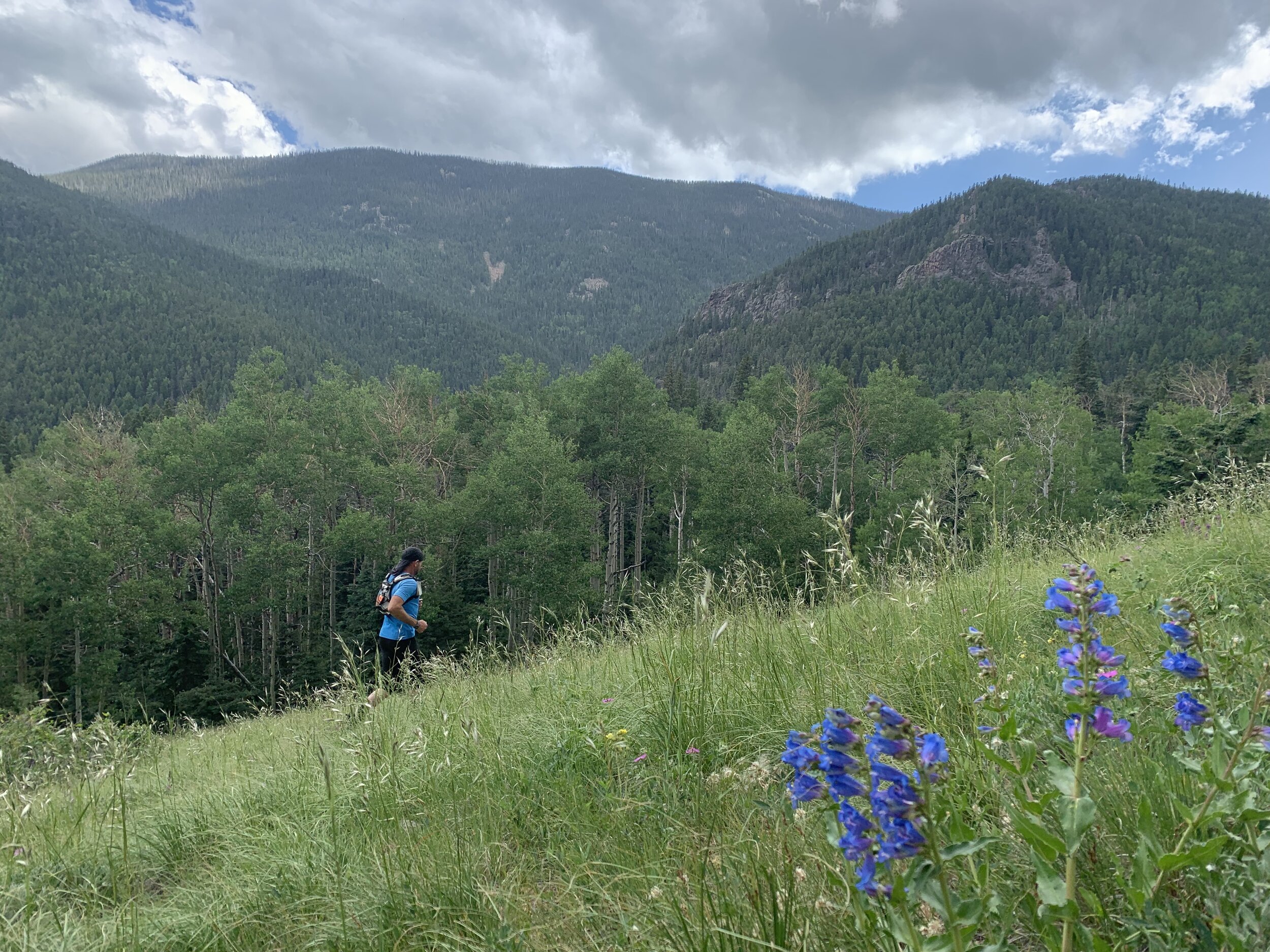
100 Mile Course Details
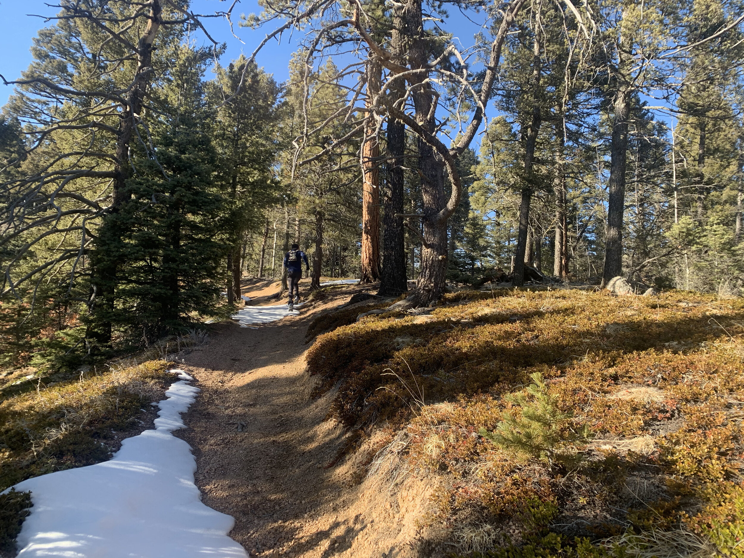
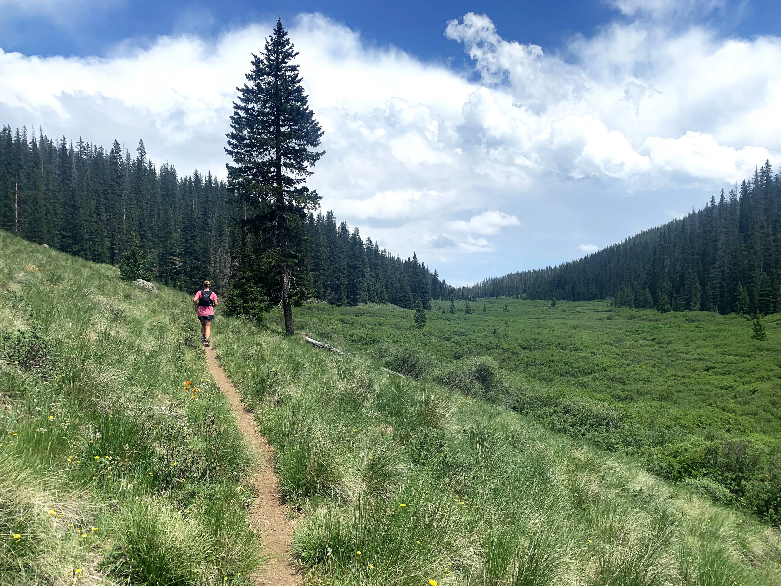
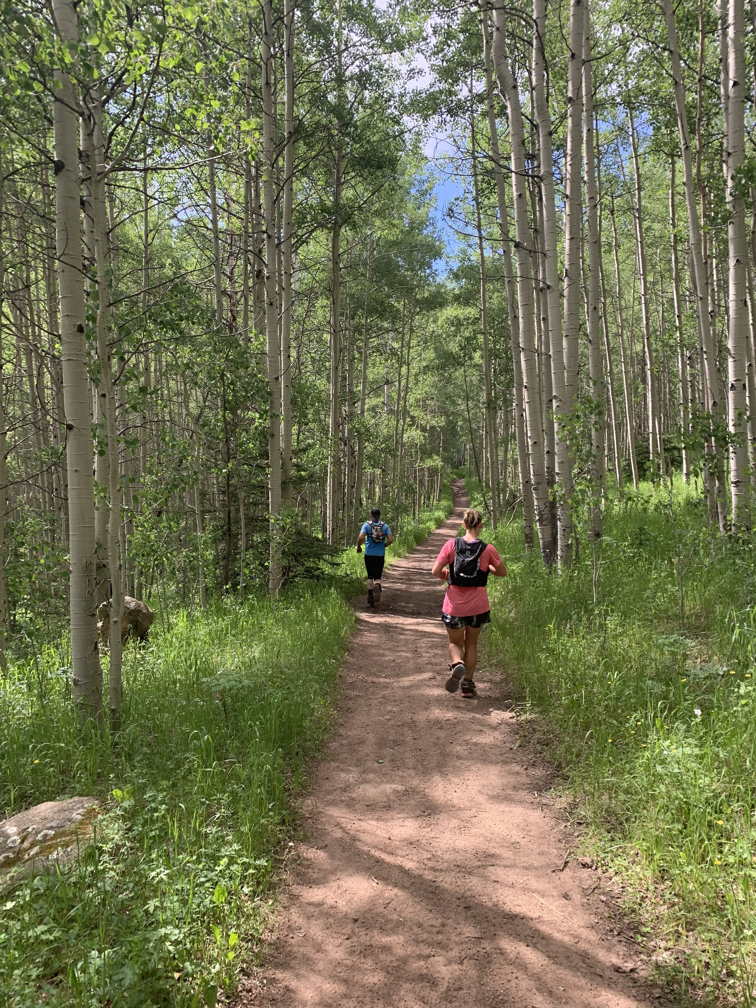
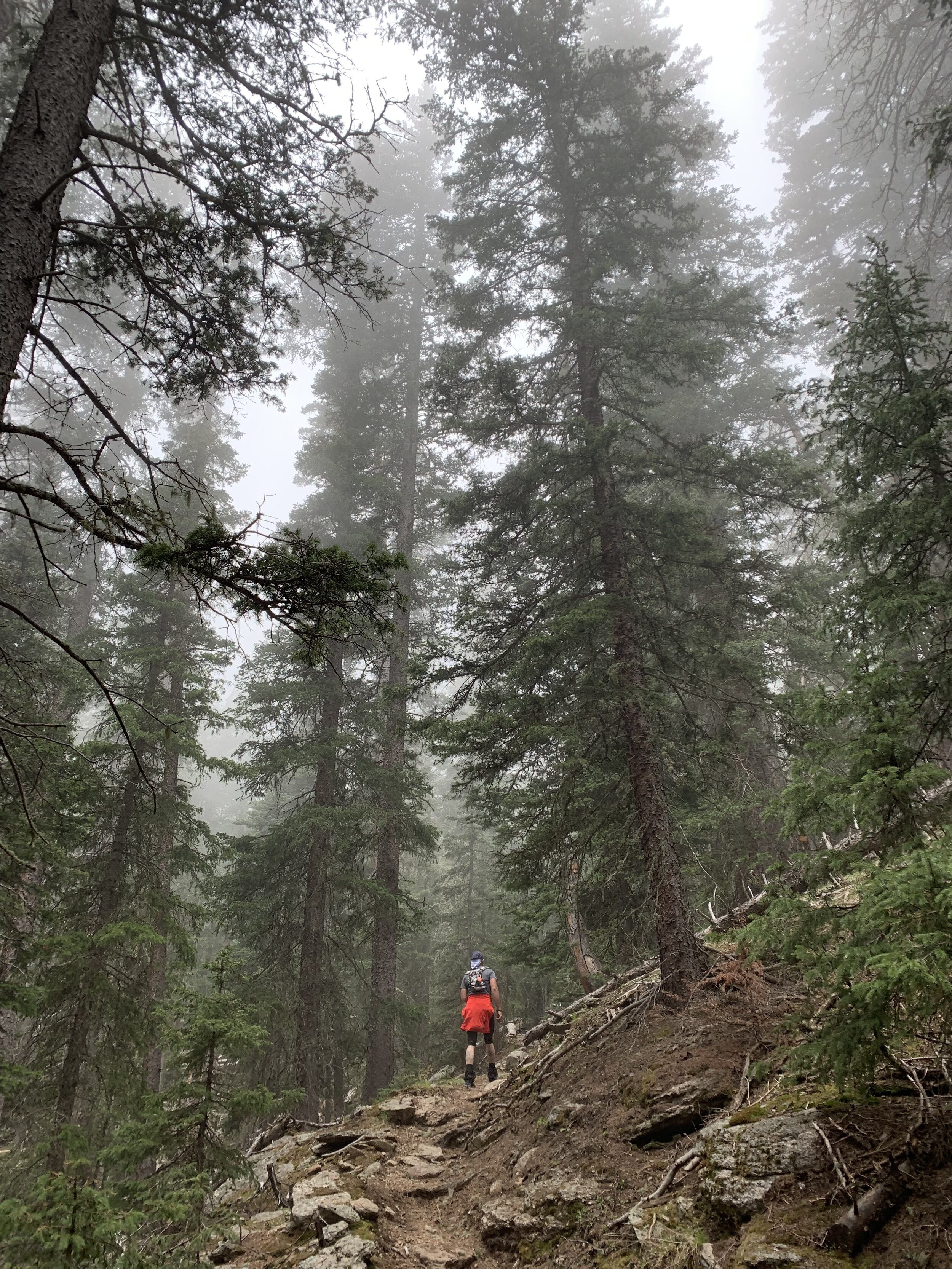
Ok, so here’s the deal. We are old school and still hold on to the belief that trail running should be simple; some shoes and proper clothing, water and food and a basic understanding of where you are going. We hold on to the idea that trail runners should be fairly self sufficient. We will warn you now, mileage is based on “ishes”, “arounds”, “approximately” - in other words IT IS NOT EXACT. If you are one of those people that live and die by the distance displayed on your watch, then this race may stretch your comfort zone. We take pride in having a well marked course and will do everything we can to mark the course and intersections clearly, but understanding and knowing the course ahead of time is a must. You never know when our friendly elk will play tricks on you by removing ribbons and flags! As long as you see markers, just keep running until you see the aid station. Enjoy the experience and freeness of ultra trail running.

Distance: ~100 miles
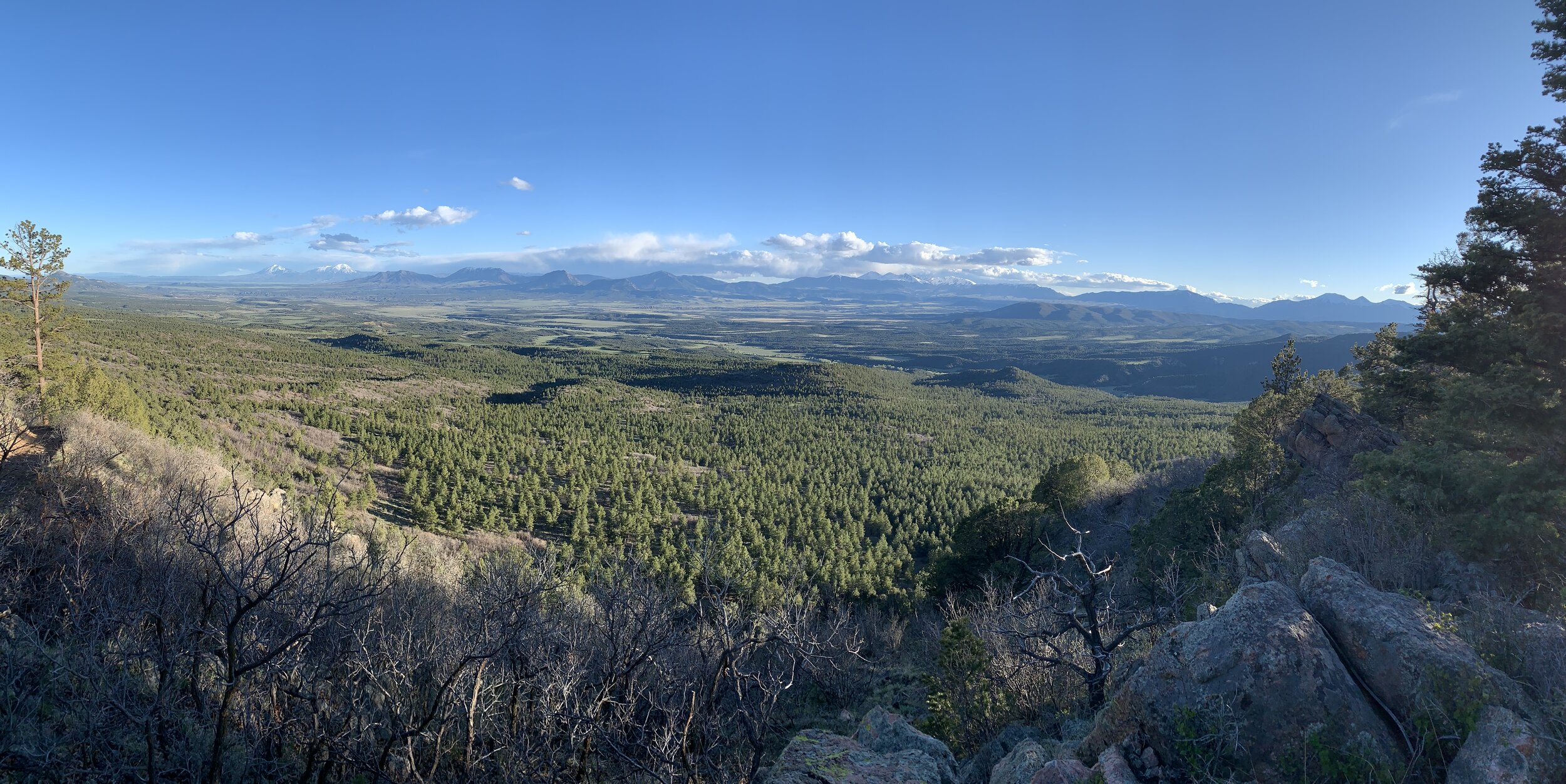
High Point: 11,659 ft
Low Point: 6,608 ft
Average Elevation: 9,058 ft
Total Elevation gain: ~22,500 ft
Cut Off: 36 hours
Profile
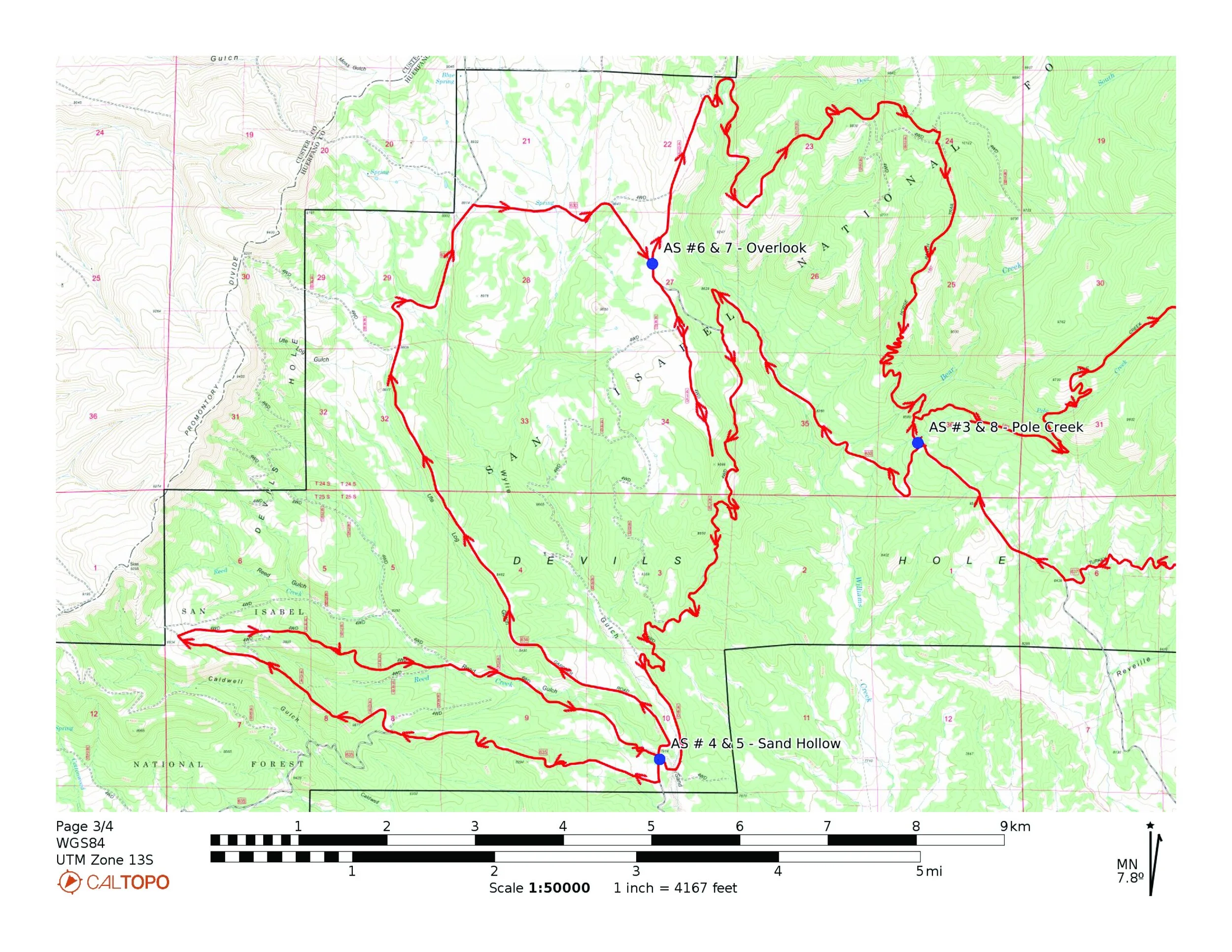
aid stations

maps


Start to AS#1 - San Isabel (9.8 miles)
As you leave the Pueblo Mountain Park, you will have a steady climb about 4.5 miles along highway 78. Please keep in mind that even though it is a dirt road, it is still a highway and open to the public so keep to the side and watch for vehicles. You will have plenty of space to spread out and find your place amongst the other runners. After climbing about 1,500ft you will come upon a small trailhead on your left for the San Carlos Trail (1320). Turn here and follow the trail for a little over approximately 2 miles where the trails opens up to a dirt road FR 320). Follow FR 320 about 3.2 miles to San Isabel AS.
AS#1 - San Isabel to AS#2 - Greenhorn (8.5 miles)
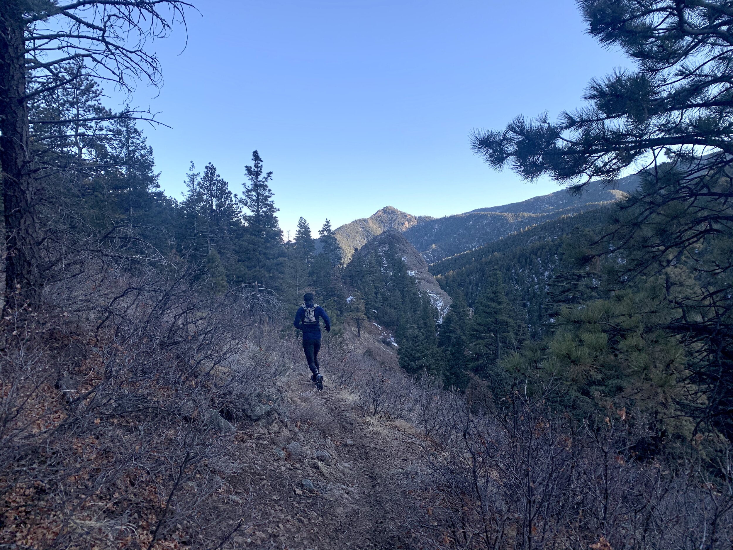
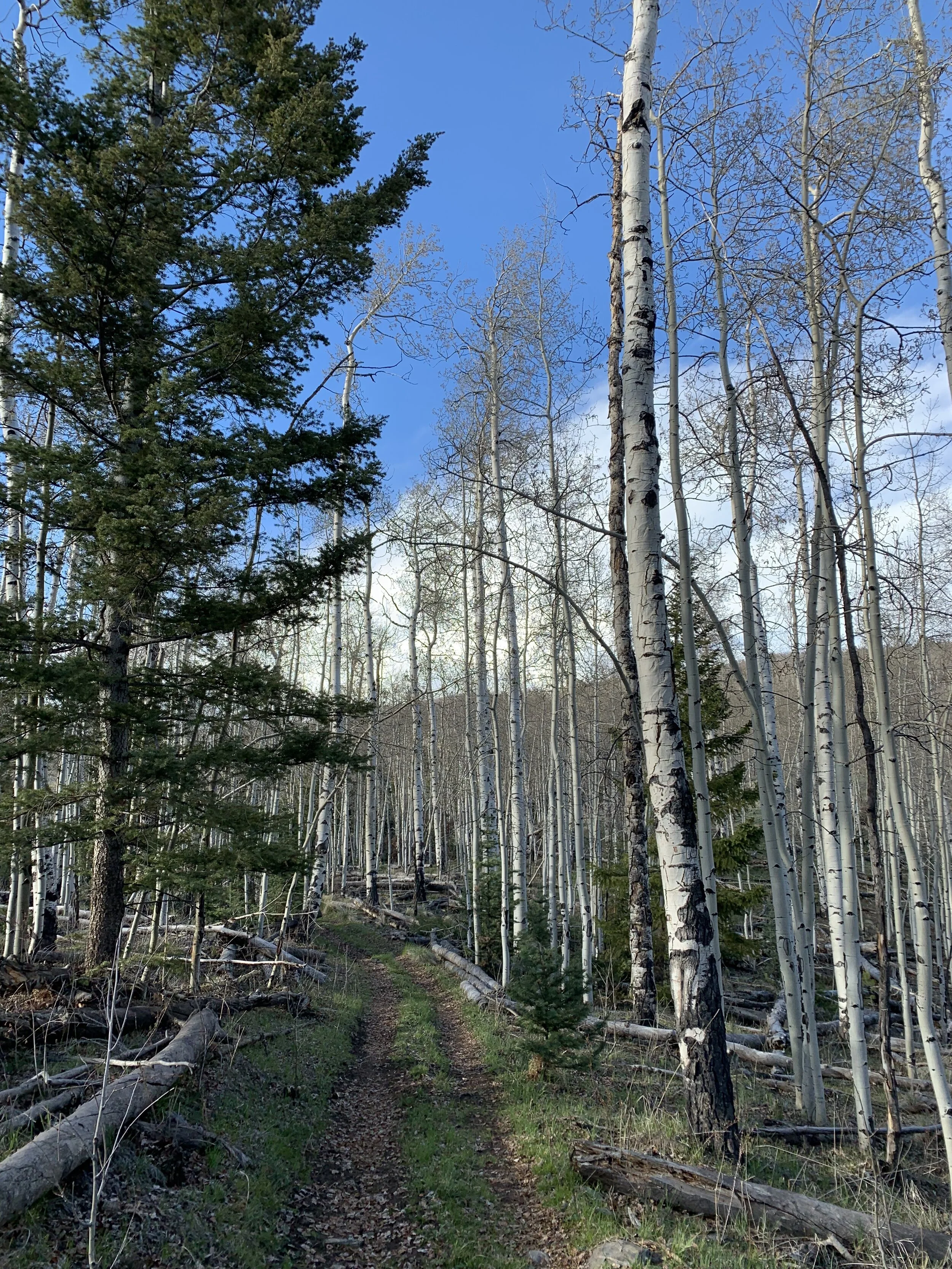
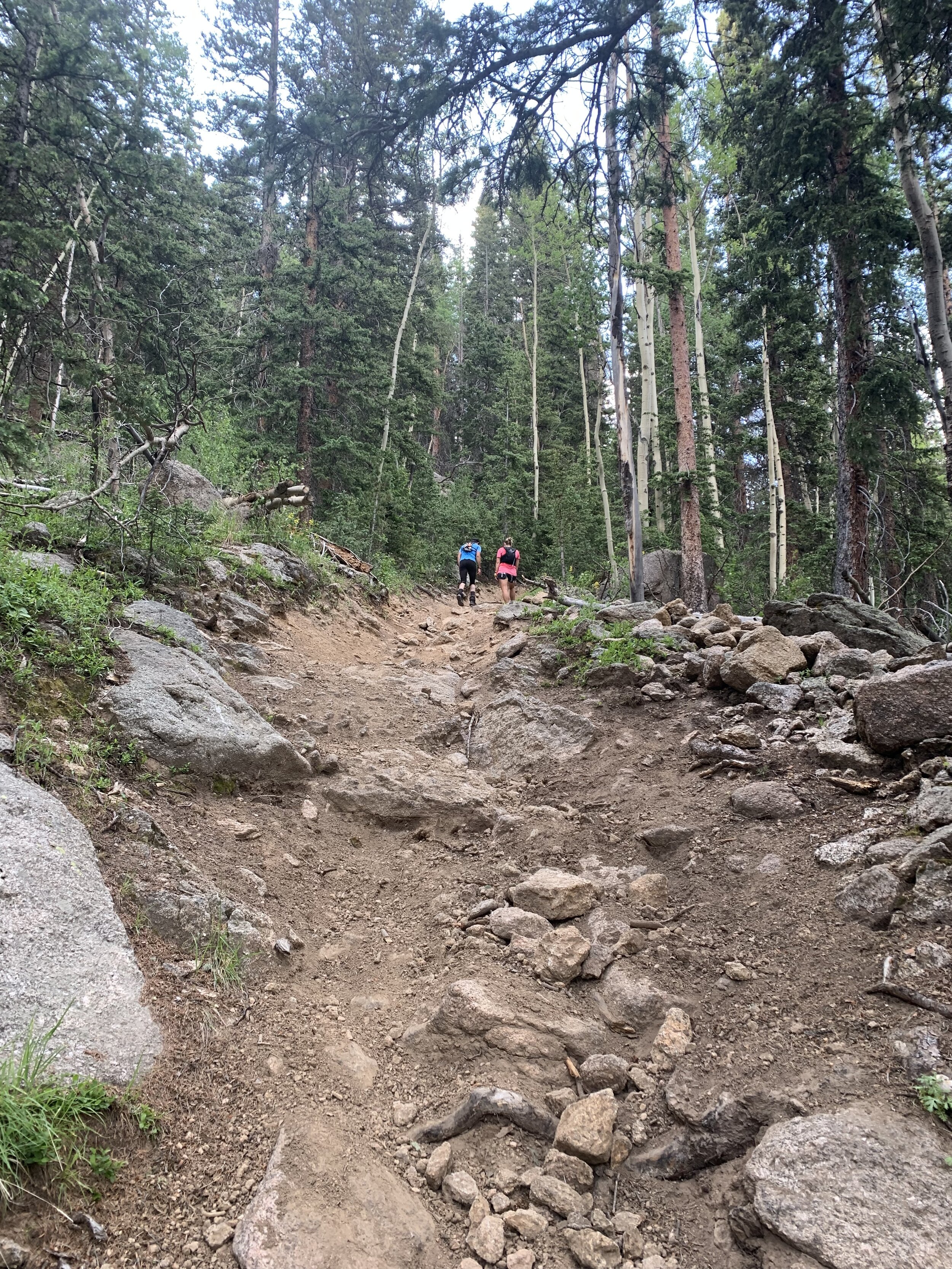
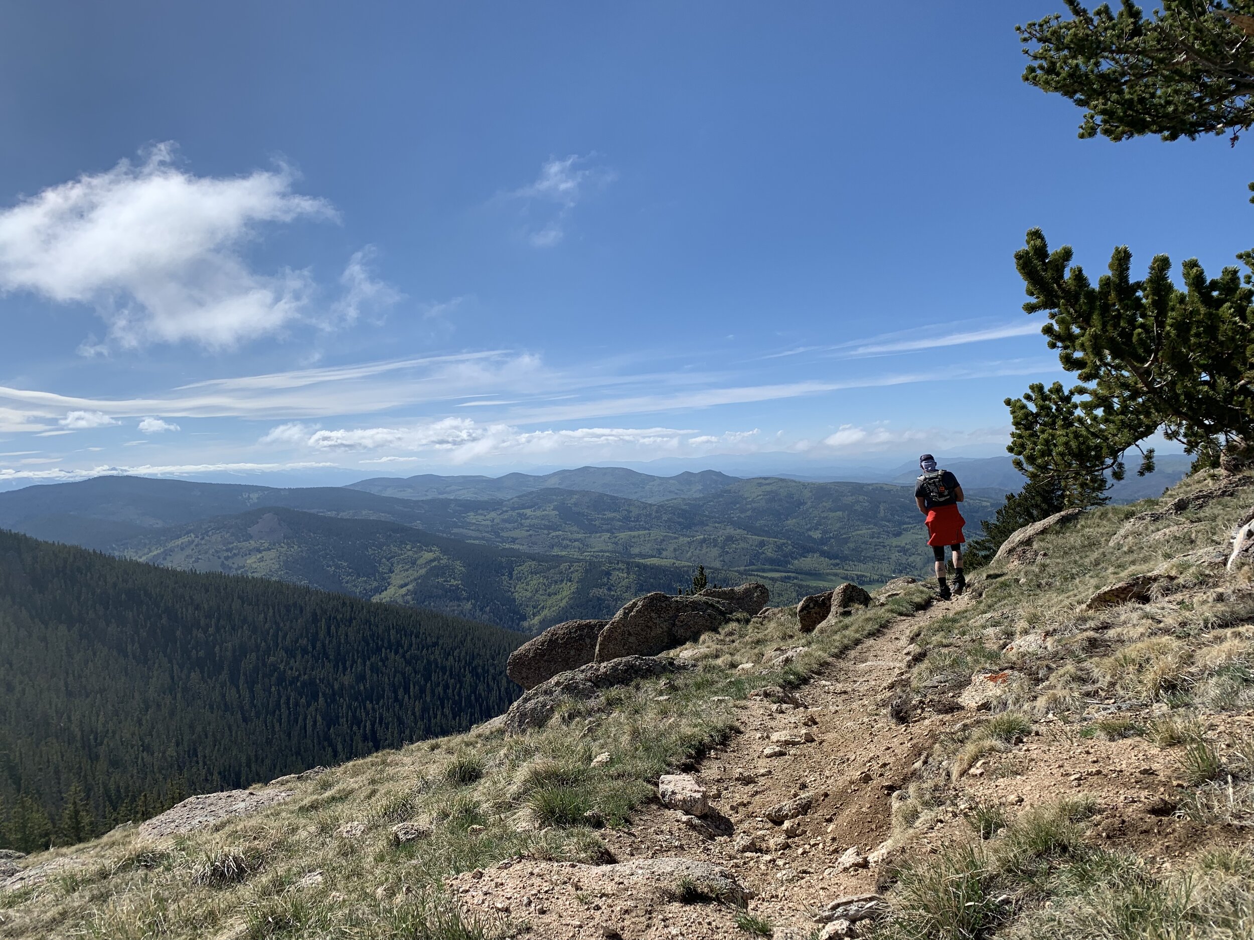
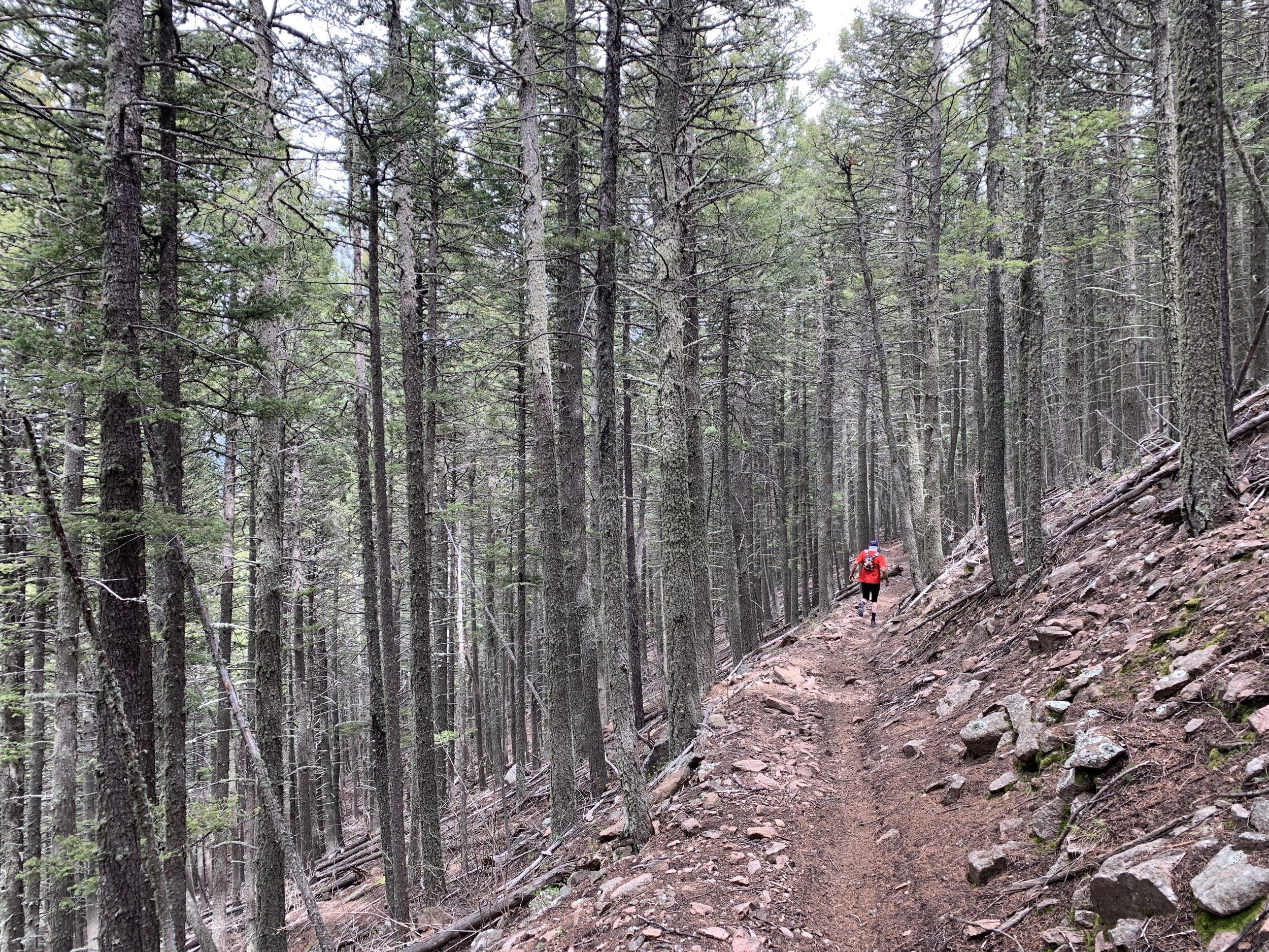
Let the climbing begin! From the aid station you will go west (right) on Old San Isabel Road 243 for about 2 miles before hitting HWY 165. As you come to the paved highway, using extreme caution, look for cars then cross the highway and carefully run along the highway for a short 0.17 miles. Then go left and head into the woods on a single track trail. After a few switchbacks, you will officially “T” into the Snowslide Trail (1318) where you will go left up the trail. Enjoy the densely wooded pine trail as you climb 2,700+ ft in about 4 miles to 11,500ft. From the top descend a little over 1.25 miles until you come to the Greenhorn Mountain Road (FR 369). Turn right and go a little over 0.5 miles until you are greeted for the first of two visits at the Greenhorn AS.
AS#2 - Greenhorn to AS#3 - Pole Creek (11.45 miles)
Get ready to stretch the legs out! You will enjoy cruising down beautiful pine forests, traversing wide open parks and descending into the Wet Mountain Valley. From the Greenhorn AS, you will go 0.4 miles down FR 409 where you will then veer left onto the Cisneros Trial (1314). Stay on the trail for about 5.3 miles until you come to Turkey Creek Road (FR 637). At this junction we’ll have a water only station. You’ll want to make sure you have plenty of water on this side of the mountains. The sun and arid climate can take a toll on you, so make sure to stay hydrated and keep your electrolytes balanced. You’ll turn right onto Turkey Creek Road (FR 637) and wind your way down the dirt road for about 4.3 miles. When you come to a “T” in the road, turn right onto FR 630. Run 1.4 miles until you see a sign for the Pole Creek TH (1398). You will go right for a short distance to the Pole Creek AS.
AS#3 - Pole Creek to AS#4 - Sand Hollow (8 miles)
After you have fueled up at Pole Creek, you will want to go back out to FR 630 the way you came in (do not head up the trails from the aid station - that will come later in the race after your second visit to Sand Hollow). Turn right onto FR 630 and keep running along the dirt road for about 2.9 miles until you see 4WD road FR 416 on your left. Turn here and follow this for approximately 4 miles until you come to FR 440 (4WD road). Turn left and for the next mile enjoy the view as you cruise towards the Sand Hollow AS.
AS#4 - Sand Hollow to AS#5 - Sand Hollow (8.1 miles)
As you leave the Sand Hollow AS you will go left (south) on Gardner Road (FR 634). In less than a .25 miles, turn right onto FR 635. In about 2.1 miles you will come to an intersection. Pay attention here and veer right onto 4WD road 404. In about another 2 miles you will turn right onto 4WD road 443 (this will look more like a trail than a road at first). Follow this all the way down until you again reach Gardner Road (FR 634) in about 3.75 miles. Take a quick right and head back to the Sand Hollow AS.

AS#5 - Sand Hollow to AS#6 - Overlook (6.9 miles)
As you leave Sand Hollow, you will turn right onto Gardner Road (FR 634) and cross the bridge. For the next 5.5ish miles your feet will enjoy a break from the rocky terrain as you make your way north along the dirt road. This is the main route through the area so please be aware of passing vehicles. You will also encounter crews as they make their way to and from Sand Hollow AS, so you may feel a boost of energy as the give you an encouraging honk or cheer. We had originally thought about not allowing crews down this road and re-routing them around, but logistically it would not have been possible for them to get to you from Greenhorn in time. From this road you will turn right onto FR 630. In about one mile you will come to a split in the road - stay right and go about .5 miles more to the Overlook AS.
AS#6 - Overlook to AS#7 - Overlook (3 miles)
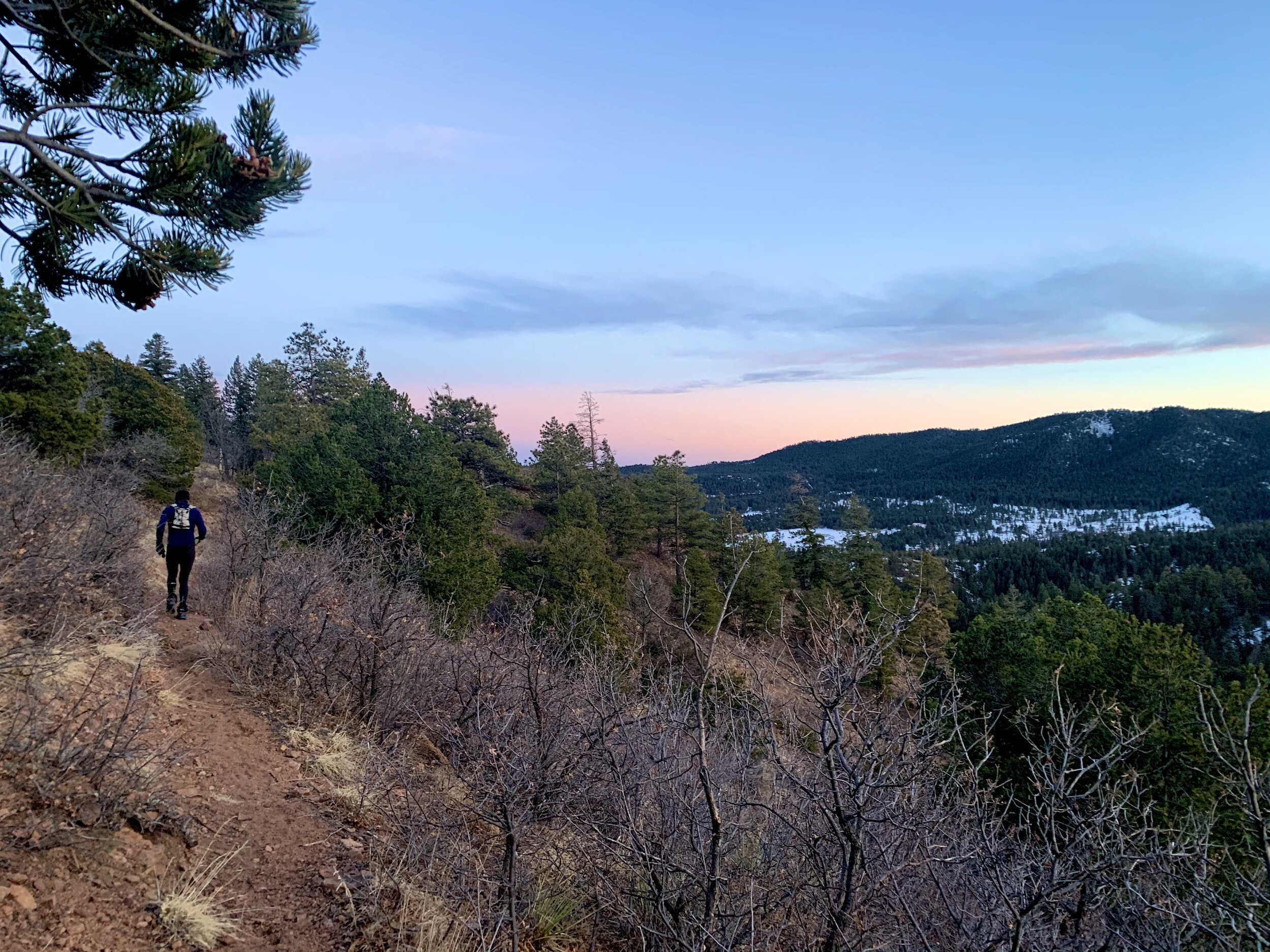
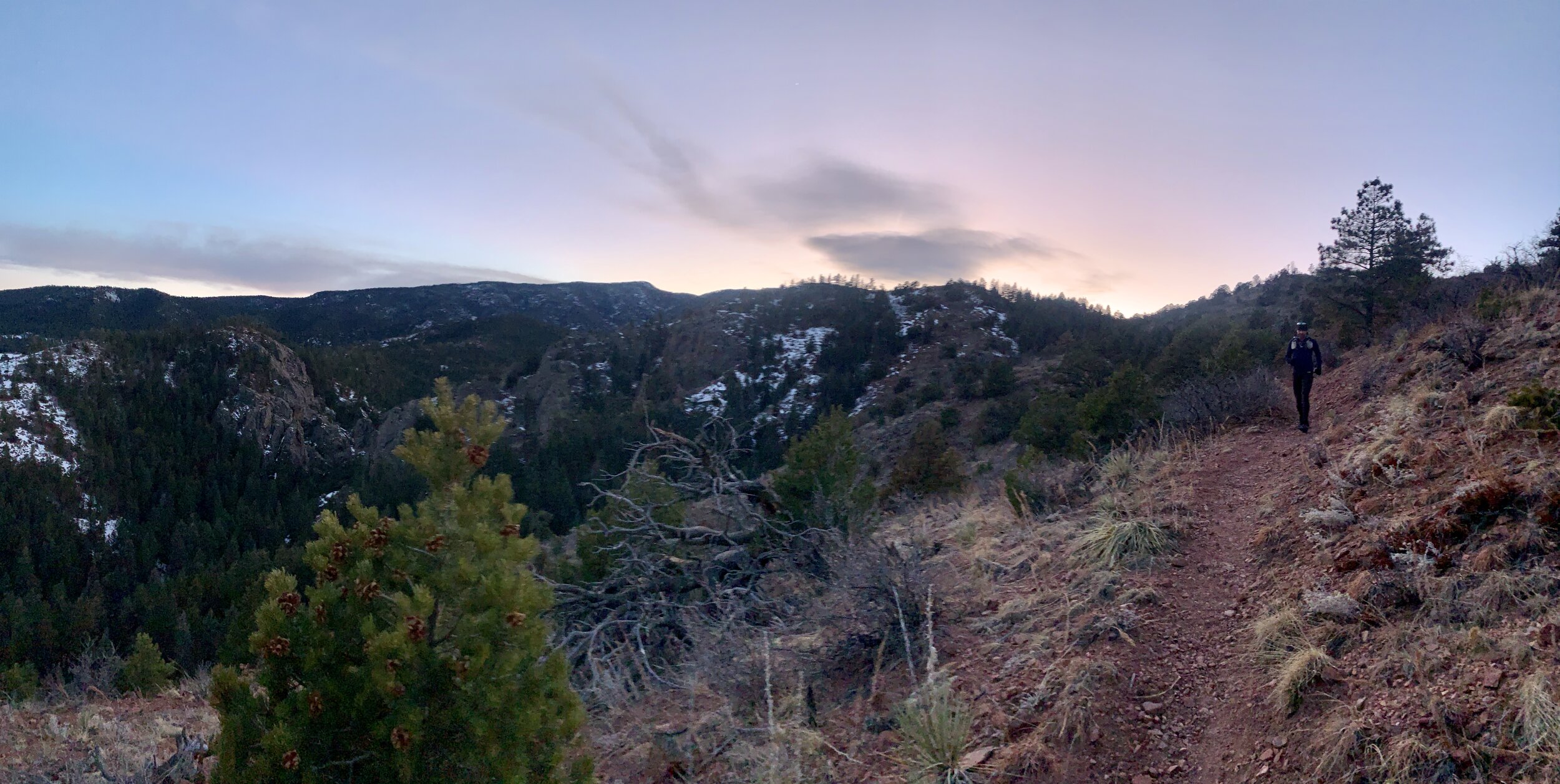
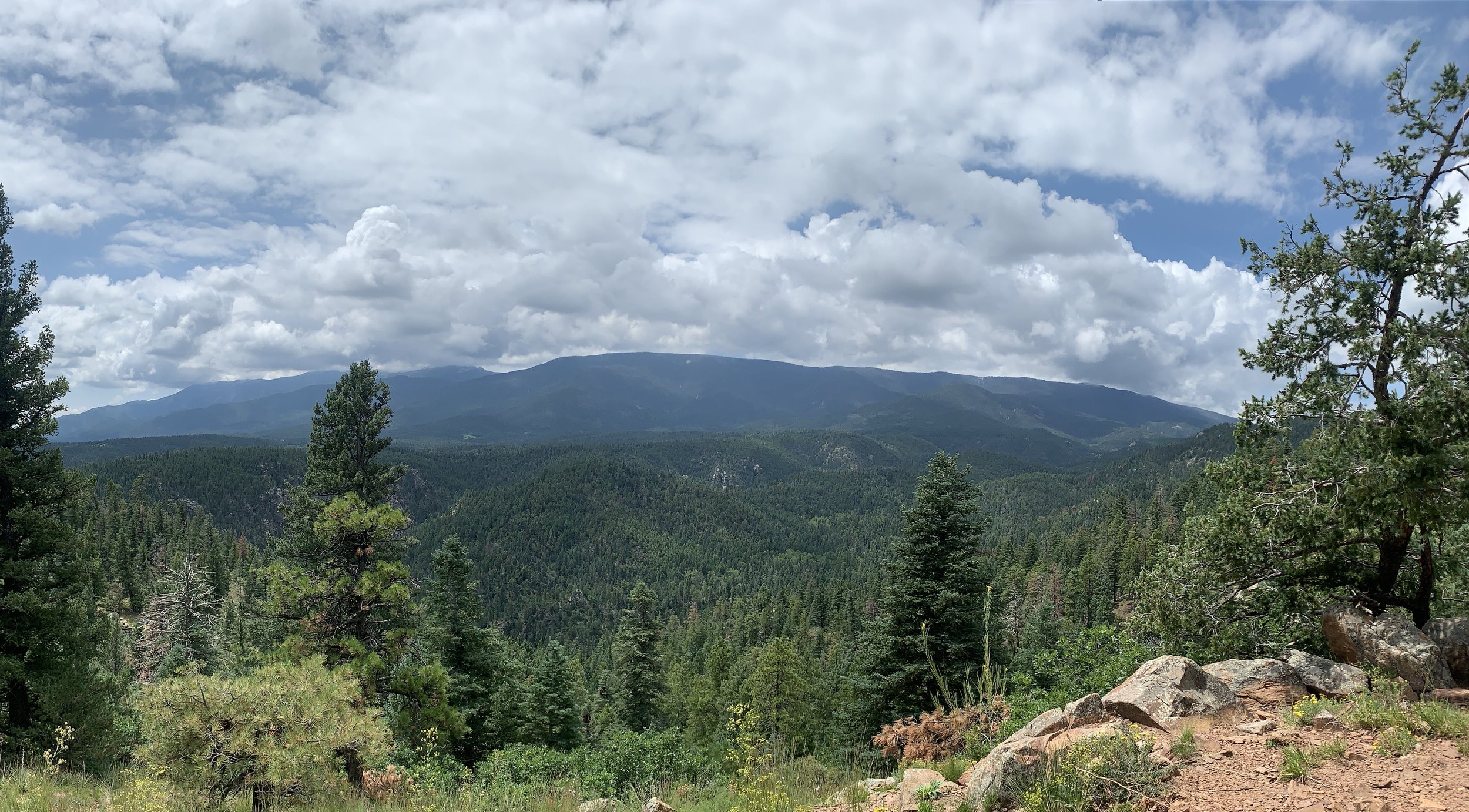
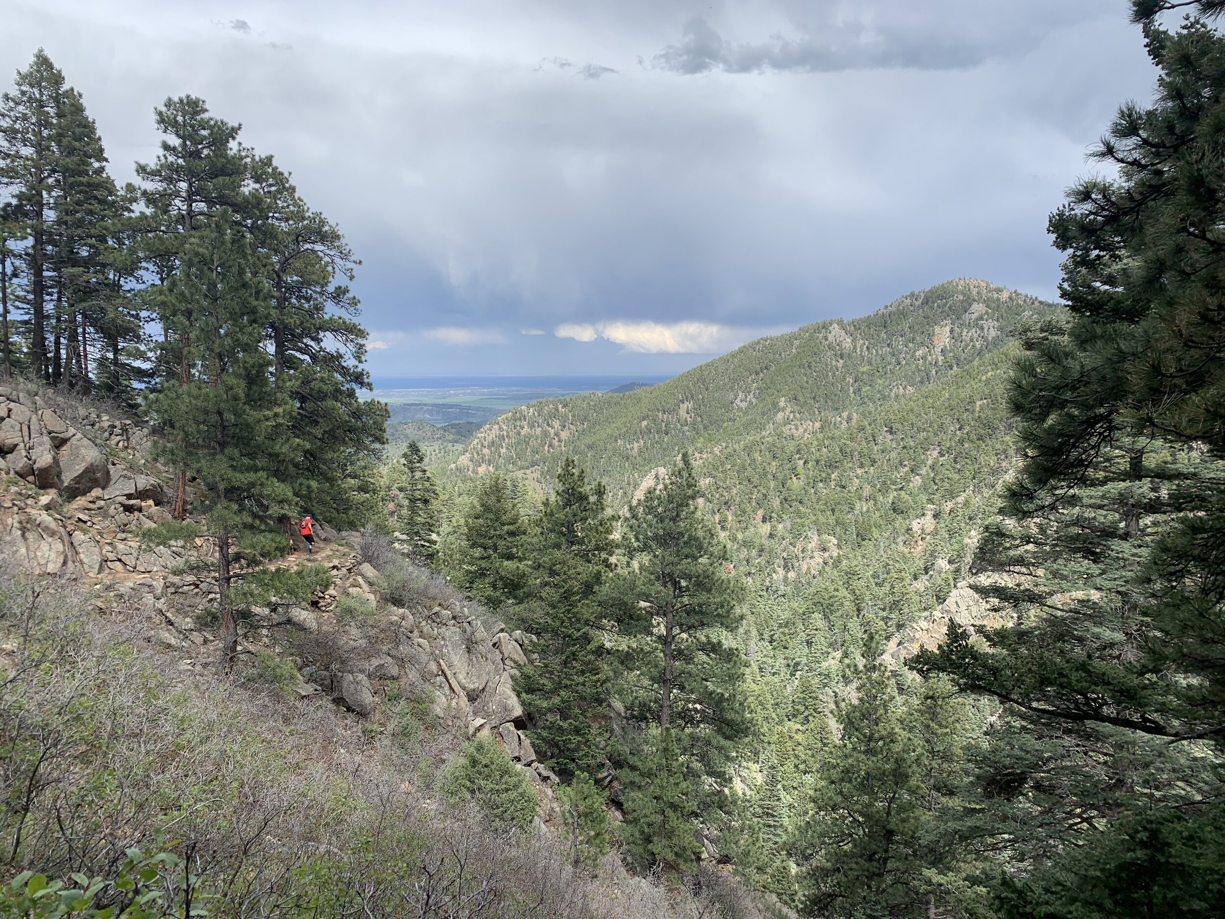
From here we will take you on a quick out and back. Depending on the time, you could be treated to a beautiful sunset over the Sangre de Cristo Mountains. Coming out of the AS, go left continuing on FR 630 for about .2 miles where you will to a split in the road. Veer right onto 4WD road FR 415. Go 1.3 more miles to the turn around where you will be instructed to make a specific mark on your race bib. Turn around and make your way back to the Overlook AS.
AS#7 - Overlook to AS#8 - Pole Creek (8 miles)
After saying goodbye to the volunteers at Overlook, you will exit the aid station on FR 402. Continue on FR 402 for about 4.5 miles where you will turn right and follow the course markers to the Horse Ranch Trail (1397). From here on to the finish you will leave the dirt and 4WD roads behind for winding trails! Follow Horse Ranch Trail (1397) for about 3.4 miles until you come to an intersection with Pole Creek Trail (1398). DO NOT turn left up Pole Creek Trail. Instead, veer right and head less than 0.1 miles down to the Pole Creek AS.
AS#8 - Pole Creek to AS#9 - Greenhorn (6.4 miles)
When you are ready to leave Pole Creek AS, you will head back up the trail you just came from to the intersection of Horse Ranch Trail (1397) and Pole Creek Trail (1398). This time you will go to your right and head up Pole Creek Trail (1398). You’ll climb about 2,750 ft in a little over 6 miles until you reach the Greenhorn AS.
AS#9 - Greenhorn to AS#10 - Saint Charles (9.75 miles)
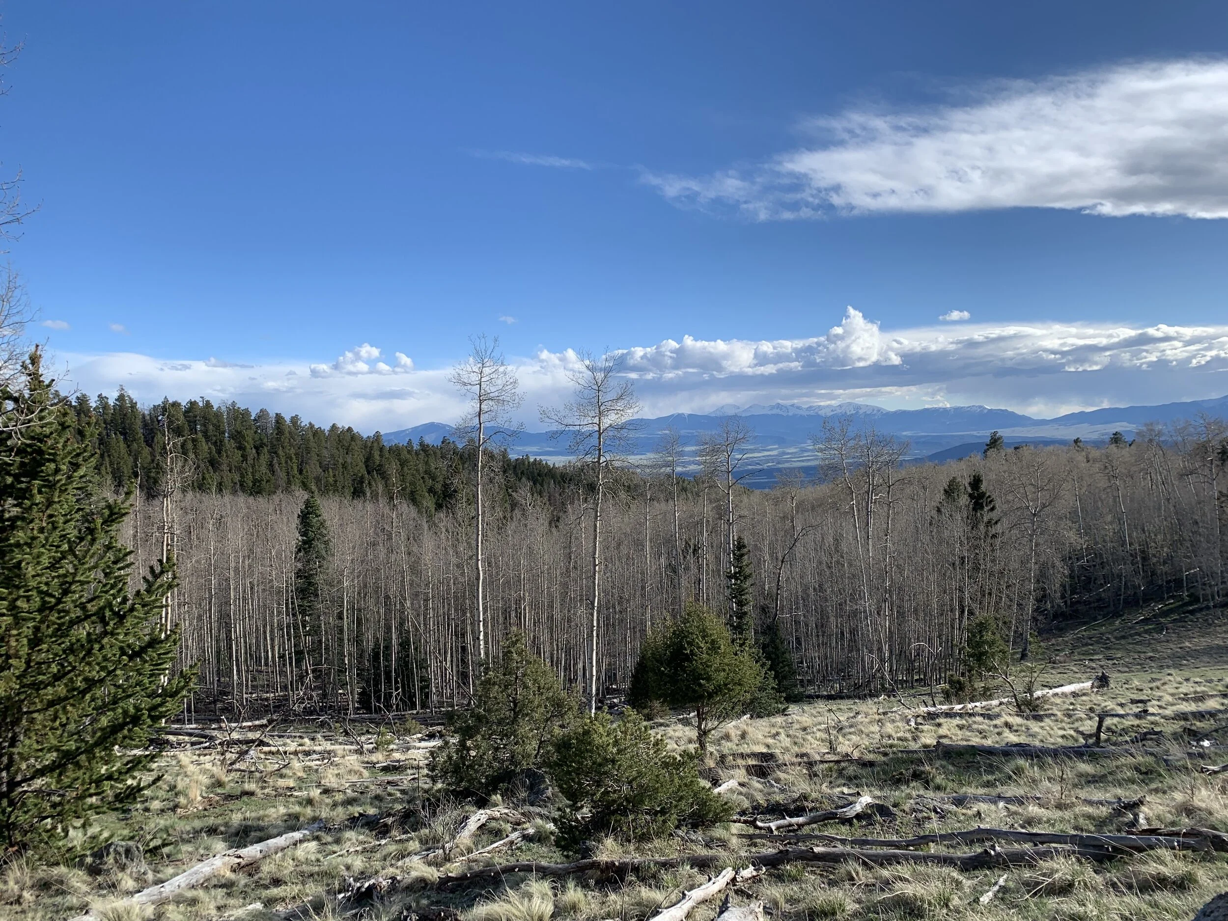
From the Greenhorn AS you will go left on Greenhorn Mountain Road (FR 369) for a short distance of about 0.2 miles where you will see a sign on your right for the Cisneros Trail (1314). This time you will follow the Cisneros Trail (1314) for roughly 3.9 miles until you come to an intersection with the Saint Charles Trail (1326). You want to go to your left and follow the Saint Charles Trail (1326). You will continue to climb up for about 5.25 miles bringing you to another junction. This time go left for less than 0.5 miles on a short out and back to the Saint Charles AS.
AS#10 - Saint Charles to AS#11 Second Mace (11 miles)
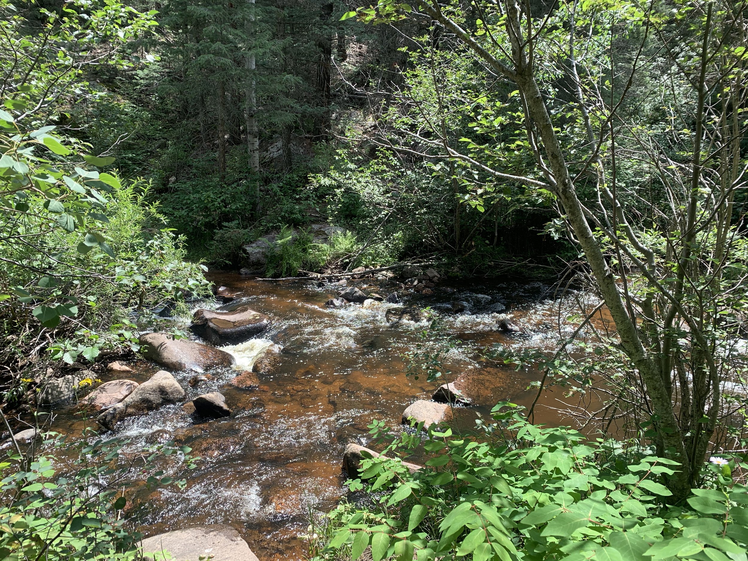
Leave the Saint Charles AS the same way you came in by going back the less than 0.5 miles to the trail junction. Go left back onto the Saint Charles Trail (1326) - the opposite direction from where you came up before. A short gradual climb will bring you to the highest point of the race at 11,672 ft. From here enjoy your 4 mile descent to HWY 165. At the highway you will carefully look both ways and cross to the other side. You will continue right (south) on the highway for less than 0.25 miles where you will turn left into a small parking area called Lion Park towards the South Creek Trailhead. You will take the South Creek Trail (1321) approximately 3.75 miles to a trail junction. Here you will go left on Coupler Trail 1386 towards the Squirrel Creek Trail (1384) junction. DO NOT go straight towards the Pueblo Mountain Park. In about 0.5 miles you will cross a stream and come to a “T”. Go left onto Squirrel Creek Trail (1384) towards the Davenport Campground. In 1.8 miles you will reach the Second Mace AS on your right after passing through the campground (please be courteous and keep your voices down when passing through the campground).
Unofficial AS: At HWY 165 we are allowing an unofficial aid station. Here, you can meet your crew and swap pacers in two different locations. There is a small parking area across the street from where the Saint Charles Trail (1326) meets the highway. That is option #1. Option #2 is at Lion Park just 0.25 miles south on HWY 165 at the South Creek Trailhead.
AS#11 Second Mace to Finish (9.1 miles)
Almost there! Oh so close! You will take Second Mace Trail (1322) out from the aid station. Climb roughly 0.9 miles until you come to a trail junction. Go to your right and stay on the Second Mace Trail (1322). In about another 0.5 miles trail 1328 will intersect. Again, stay on the Second Mace Trail towards the junction with Dome Rock Trail (1387). In approximately 0.75 miles, the trail will come to a “Y”. You will veer right and take Dome Rock Trail (1387) for 2.6 miles where it will end at Squirrel Creek Trail (1384). You want to continue left on Squirrel Creek Trail (1384). In a little over a mile you will pass one of the very first recreational pavilions ever built in the nation. From here, go a short distance until the trail comes to a “T”. You will turn right towards the Pueblo Mountain Park. You will start climbing for about 1.3 miles until you come to another trail junctions. Turn left onto the Northridge Trail. Go about a mile and turn left onto Devil’s Canyon Trail. It will come to a dirt road. Stay to your left and follow the course markings along the dirt road for about a mile to the finish!